Currier's Coppice

Wood, Forest in Dorset

England

Currier's Coppice

Path, Great Shaftesbury Coppice Approaching the forest edge shown in <a href="https://www.geograph.org.uk/photo/4544846">ST9718 : Little Shaftesbury Coppice</a>.
Path, Great Shaftesbury Coppice Credit: Derek Harper

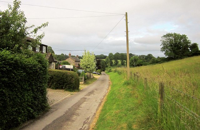
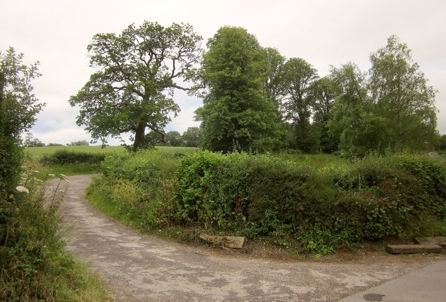
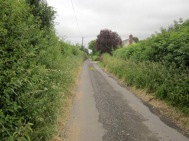
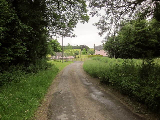
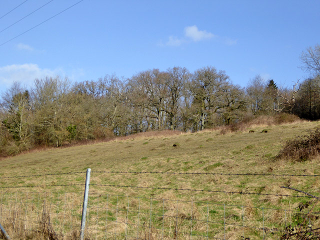
Currier's Coppice is a picturesque woodland located in the county of Dorset, England. Covering an area of approximately 50 acres, this charming forest is nestled on the outskirts of the village of Lytchett Matravers.

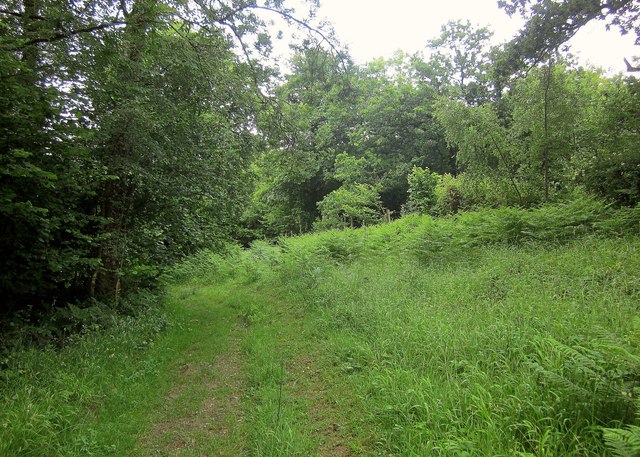
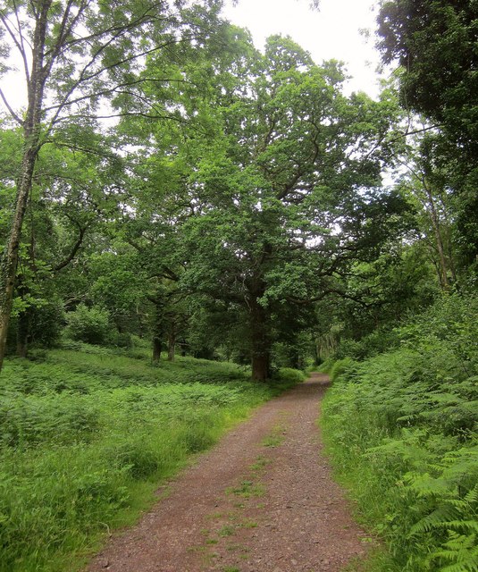
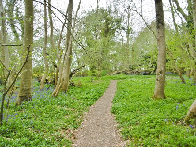
The woodland is mainly composed of a mixture of deciduous and coniferous trees, creating a diverse and vibrant landscape. Ancient oaks, beeches, and birches dominate the canopy, providing a majestic sight throughout the year. Meanwhile, spruces and firs add a touch of evergreen charm to the forest floor.

Currier's Coppice is a haven for wildlife enthusiasts, as it is home to a variety of animal species. Visitors can spot deer, foxes, badgers, and an array of birdlife, including woodpeckers, owls, and songbirds. The tranquil atmosphere of the forest makes it an ideal location for birdwatching or simply enjoying a peaceful stroll.

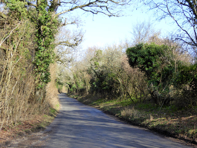
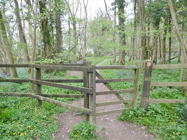
The woodland offers a network of well-maintained footpaths, allowing visitors to explore its beauty at their own pace. The pathways wind through the trees, revealing hidden clearings and enchanting vistas. Walking through Currier's Coppice is a sensory experience, with the scents of wildflowers and the sound of rustling leaves immersing visitors in nature's embrace.

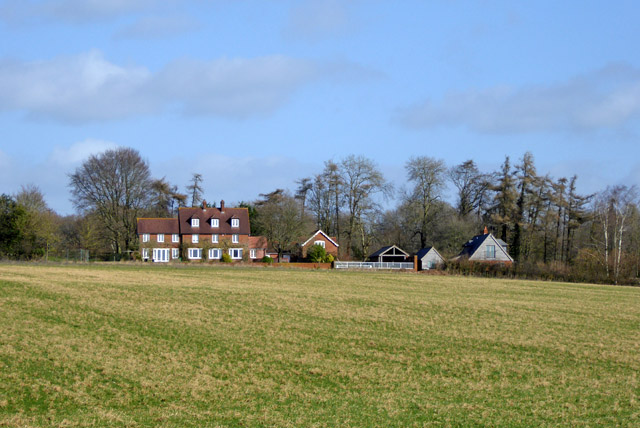
The forest is a popular destination for locals and tourists alike, offering a retreat from the hustle and bustle of everyday life. Families often visit the woodland for picnics, games, and nature walks, while photographers and artists find inspiration in its natural beauty.

Currier's Coppice is a true gem of Dorset, offering a serene escape into nature's embrace and providing a delightful experience for all who venture into its enchanting realm.

If you have any feedback on the listing, please let us know in the comments section below.

Currier's Coppice Images

Images are sourced within 2km of 50.966504/-2.0144173 or Grid Reference ST9918. Thanks to Geograph Open Source API. All images are credited.

Path, Great Shaftesbury Coppice Approaching the forest edge shown in <a href="https://www.geograph.org.uk/photo/4544846">ST9718 : Little Shaftesbury Coppice</a>.
Path, Great Shaftesbury Coppice
Approaching the forest edge shown in ST9718 : Little Shaftesbury Coppice.
Track by Great Shaftesbury Coppice Bridleway E52 23 runs alongside the edge of Chase Woods. This looks in the other direction from the same spot as <a href="https://www.geograph.org.uk/photo/4544846">ST9718 : Little Shaftesbury Coppice</a>.
Track by Great Shaftesbury Coppice
Bridleway E52 23 runs alongside the edge of Chase Woods. This looks in the other direction from the same spot as ST9718 : Little Shaftesbury Coppice.
Shire Rack The path follows the county boundary between Dorset and Wiltshire.
Shire Rack
The path follows the county boundary between Dorset and Wiltshire.
Shire Rack The path follows the county boundary between Dorset and Wiltshire, although since it is a Dorset path (E52 30) the boundary must be on the left side.
Shire Rack
The path follows the county boundary between Dorset and Wiltshire, although since it is a Dorset path (E52 30) the boundary must be on the left side.
Longcroft Road The track is followed here by footpath E52 26 as it begins to near Newtown, traversing Chase Woods for about three kilometres.
Longcroft Road
The track is followed here by footpath E52 26 as it begins to near Newtown, traversing Chase Woods for about three kilometres.
Lane, Newtown Continuing the line of Longcroft road through Chase Woods. <a href="https://www.geograph.org.uk/photo/4545300">ST9818 : Houses at Newtown</a> was taken just a little further along this lane.
Lane, Newtown
Continuing the line of Longcroft road through Chase Woods. ST9818 : Houses at Newtown was taken just a little further along this lane.
Track to Upwood This route from the crossroads at Deanland is followed by bridleway E52 28; footpath E52 29 branches off to the left at the bend ahead.
Track to Upwood
This route from the crossroads at Deanland is followed by bridleway E52 28; footpath E52 29 branches off to the left at the bend ahead.
Dean Lane This no through road is shown looking in the other direction a little nearer its conclusion at <a href="https://www.geograph.org.uk/photo/4545333">ST9919 : Dean Lane</a>.
Dean Lane
This no through road is shown looking in the other direction a little nearer its conclusion at ST9919 : Dean Lane.
Shermel Gate The no through road shown in <a href="https://www.geograph.org.uk/photo/4545333">ST9919 : Dean Lane</a> comes to an end here. But three footpaths, a bridleway, and a byway open to all traffic lead away from it. Shermel Gate was mapped as Shiremill Gate in the C17, and the boundary between the shires of Dorset and Wiltshire crosses the lane here.
Shermel Gate
The no through road shown in ST9919 : Dean Lane comes to an end here. But three footpaths, a bridleway, and a byway open to all traffic lead away from it. Shermel Gate was mapped as Shiremill Gate in the C17, and the boundary between the shires of Dorset and Wiltshire crosses the lane here.
Track, Wakesdean Wood Heading down towards Shermel Gate.
Track, Wakesdean Wood
Heading down towards Shermel Gate.
High Street, Sixpenny Handley A hold-up outside Sixpenny Handley Mini-Market.
High Street, Sixpenny Handley
A hold-up outside Sixpenny Handley Mini-Market.
Grass area at road junction Where Dean Lane leaves the major road.
Grass area at road junction
Where Dean Lane leaves the major road.
Grassland above Dean Lane A lot of anthills.
Grassland above Dean Lane
A lot of anthills.
Garston House and Little Garston
Lane by Pribdean Wood The wood, to the left, is a RSPB nature reserve, which they call Garston Wood.
Lane by Pribdean Wood
The wood, to the left, is a RSPB nature reserve, which they call Garston Wood.
Pribdean Wood, kissing gate Leaving Garston Wood Nature Reserve, on the way towards Deanland.
Pribdean Wood, kissing gate
Leaving Garston Wood Nature Reserve, on the way towards Deanland.
Deanland, cropland Oil-seed rape coming into full bloom, next to Pribdean Wood.
Deanland, cropland
Oil-seed rape coming into full bloom, next to Pribdean Wood.
Pribdean Wood, path Woodland path, heading towards Deanland.
Pribdean Wood, path
Woodland path, heading towards Deanland.
Show me another place!

Currier's Coppice is located at Grid Ref: ST9918 (Lat: 50.966504, Lng: -2.0144173)

Unitary Authority: Dorset

Police Authority: Dorset

What 3 Words

///snows.envoy.mocked. Near Bower Chalke, Wiltshire

Nearby Locations

Currier's Coppice Deanland

Related Wikis

Sixpenny Handley

Sixpenny Handley or Handley is a village and former civil parish, now in the parish of Sixpenny Handley and Pentridge, in north east Dorset, England,...

Garston Wood

Garston Wood is a 34-hectare (84-acre) woodland nature reserve on the border between Dorset and Wiltshire in England, around 3 km (2 mi) north of the village...

Cranborne Chase and West Wiltshire Downs

Cranborne Chase and West Wiltshire Downs is an Area of Outstanding Natural Beauty (AONB) covering 379 square miles (980 km2) of Dorset, Hampshire, Somerset...

Sixpenny Handley Hundred

Sixpenny Handley Hundred was a hundred in the county of Dorset, England. It originally consisted of two distinct hundreds: Sexpena and Hanlega. Sometime...

Nearby Amenities

Located within 500m of 50.966504,-2.0144173
Deanland
Place: hamlet
Lat/Long: 50.9675207/-2.01368
New Town
Place: hamlet
Lat/Long: 50.9692218/-2.017814
The data included in this document is from www.openstreetmap.org. The data is made available under ODbL.

Have you been to Currier's Coppice?

Leave your review of Currier's Coppice below (or comments, questions and feedback).