Whitley Brake

Wood, Forest in Wiltshire

England

Whitley Brake

2011 : Oxford Road, Calne Formerly the A3102 to Lyneham and Swindon, now bypassed.
2011 : Oxford Road, Calne Credit: Maurice Pullin

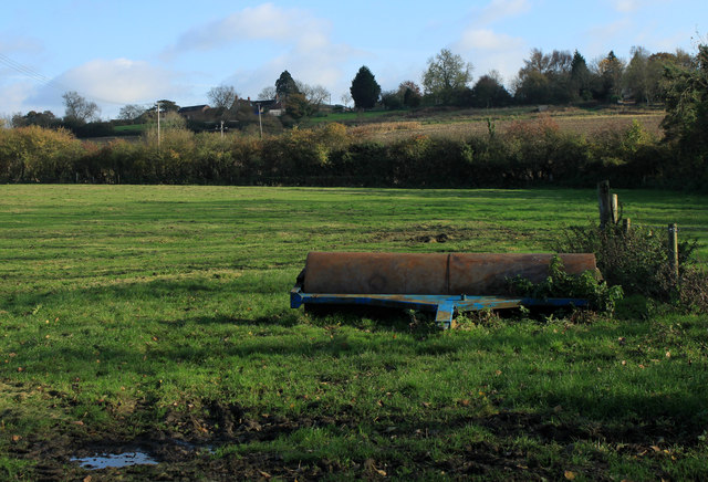
Whitley Brake is a small village located in the county of Wiltshire, England. Situated in the southern part of the county, it is surrounded by picturesque woodlands and forests, making it a haven for nature lovers and outdoor enthusiasts.

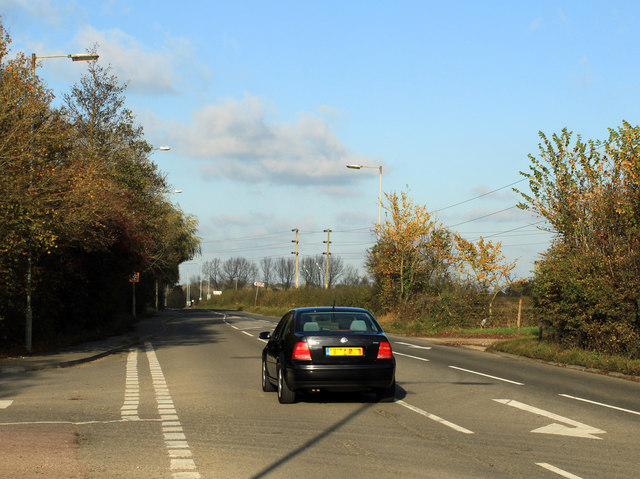
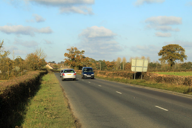
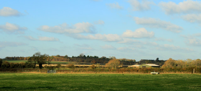
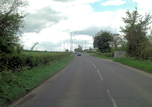
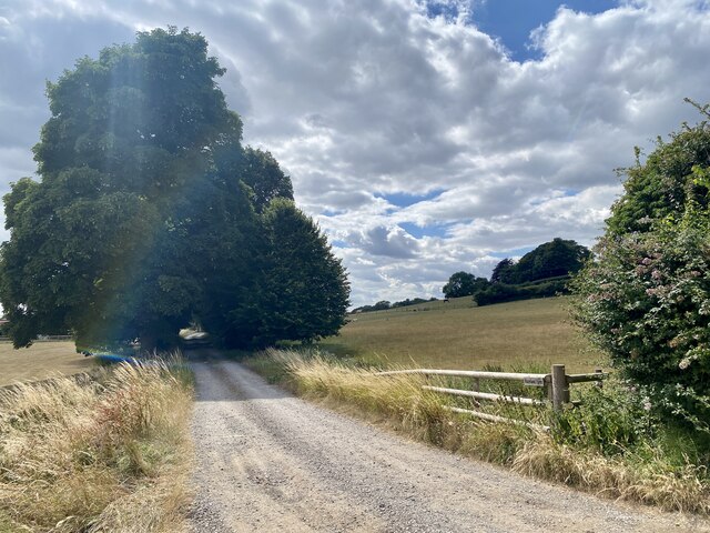
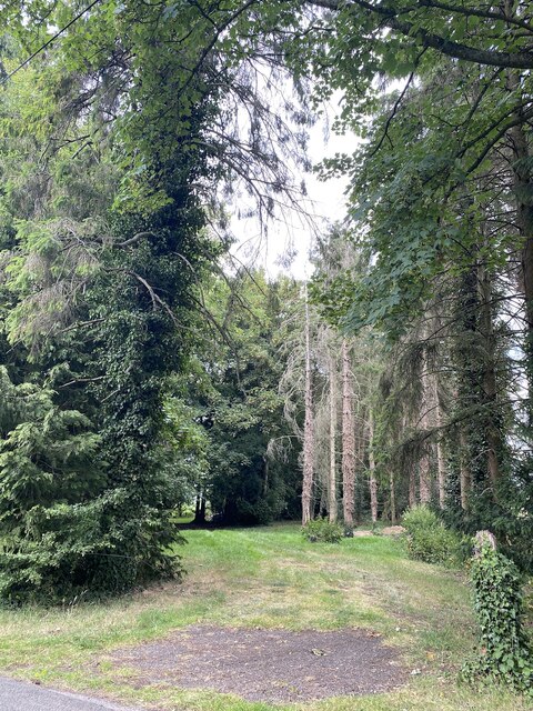
The village sits on the edge of the expansive Whitley Wood, a dense forest that covers a significant area of the local landscape. The wood is home to a diverse range of flora and fauna, including ancient oak trees, beech trees, and various species of wildflowers. It offers a tranquil setting for walking, hiking, and birdwatching, attracting visitors throughout the year.

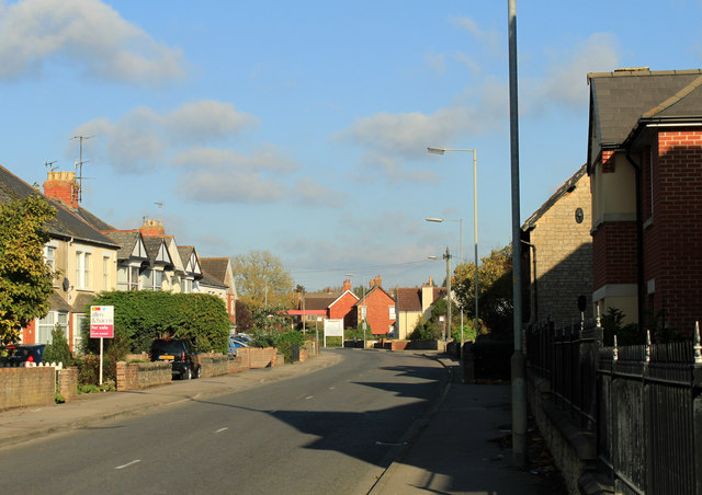
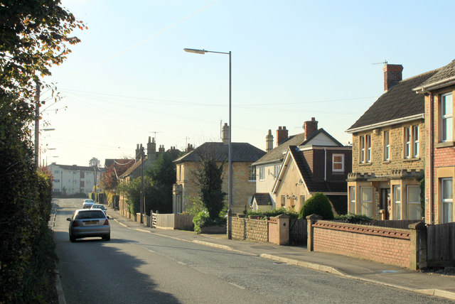
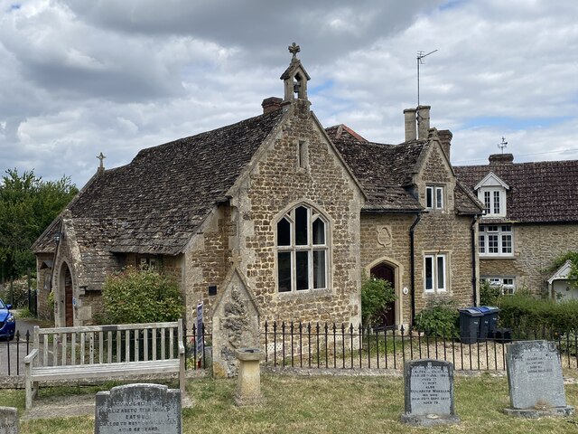
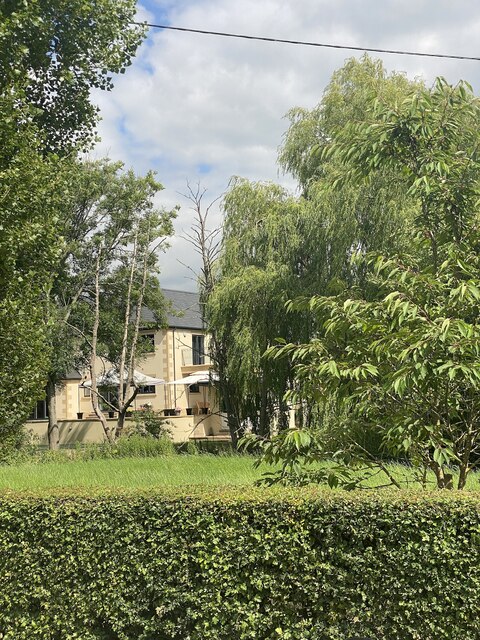
Whitley Brake itself consists of a cluster of charming cottages and houses, many of which date back several centuries. The village has a close-knit community, with a population of around 300 residents. Its quaint atmosphere and rural surroundings make it an ideal place for those seeking a peaceful lifestyle away from the hustle and bustle of city living.

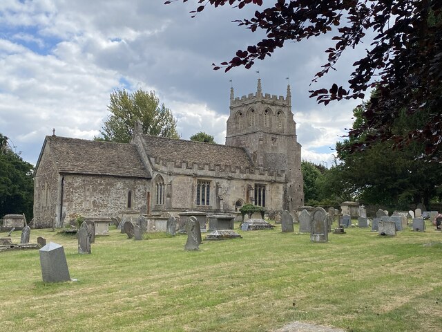
Despite its small size, Whitley Brake has a rich history. The village was mentioned in the Domesday Book, a survey of England conducted in 1086. Over the centuries, it has witnessed various changes, but its rural character has been well-preserved.

In terms of amenities, Whitley Brake has a local pub, which serves as a social hub for both residents and visitors. The nearest town, Melksham, is a short distance away and offers a wider range of services and facilities, including shops, schools, and healthcare.

Overall, Whitley Brake, with its idyllic woodland setting and historical charm, provides a peaceful retreat for those seeking a rural lifestyle in the heart of Wiltshire.

If you have any feedback on the listing, please let us know in the comments section below.

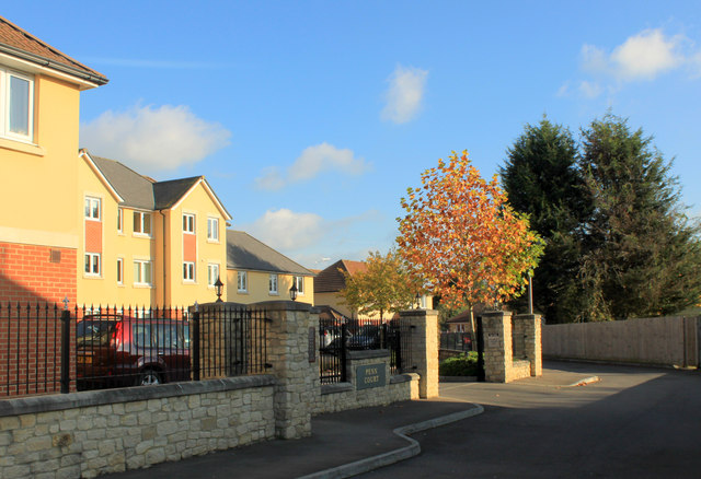
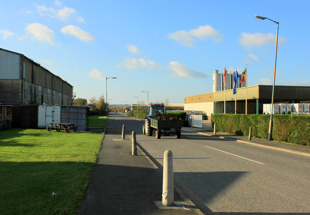
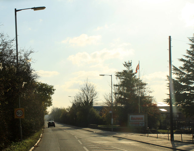
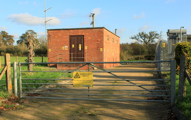
Whitley Brake Images

Images are sourced within 2km of 51.456563/-2.0146028 or Grid Reference ST9973. Thanks to Geograph Open Source API. All images are credited.

2011 : Oxford Road, Calne Formerly the A3102 to Lyneham and Swindon, now bypassed.
2011 : Oxford Road, Calne
Formerly the A3102 to Lyneham and Swindon, now bypassed.
2011 : Oxford Road, leaving Calne Formerly the A3102 which now follows the western bypass.
Looking north from the end of Stanier Road.
2011 : Oxford Road, leaving Calne
Formerly the A3102 which now follows the western bypass. Looking north from the end of Stanier Road.
2011 : Field roller ready for action Parked in a pasture east of the A3102.
2011 : Field roller ready for action
Parked in a pasture east of the A3102.
2011 : A3102 Oxford Road, Calne Heading north toward Lyneham and Wootton Bassett.
Once the main road out of Calne to the north, now bypassed to the west.
2011 : A3102 Oxford Road, Calne
Heading north toward Lyneham and Wootton Bassett. Once the main road out of Calne to the north, now bypassed to the west.
2011 : Penn Court, off Oxford Road, Calne A pleasant recent development, shown from Oxford Road in <a href="https://www.geograph.org.uk/photo/280018">SU0071 : Penn Court, Oxford Road</a> taken in 2006.
2011 : Penn Court, off Oxford Road, Calne
A pleasant recent development, shown from Oxford Road in SU0071 : Penn Court, Oxford Road taken in 2006.
2011 : Tractor with a trailer load of animal waste on Stanier Road The result of a different kind of industry passes through the industrial estate.
2011 : Tractor with a trailer load of animal waste on Stanier Road
The result of a different kind of industry passes through the industrial estate.
2011 : Oxford Road, Calne, near Stanier Road Heading south into Calne. Formerly the A3102.
2011 : Oxford Road, Calne, near Stanier Road
Heading south into Calne. Formerly the A3102.
2011 : Electricity sub station off Oxford Road, Calne Near the town boundary.
2011 : Electricity sub station off Oxford Road, Calne
Near the town boundary.
2011 : A3102 leaving Calne A few hundred yards north of the bypass.
Beversbrook Farm is in the distance, on the other side of the grid square.
2011 : A3102 leaving Calne
A few hundred yards north of the bypass. Beversbrook Farm is in the distance, on the other side of the grid square.
2011 : Pasture east of the A3102 Outbuildings of High Penn Farm are seen.
2011 : Pasture east of the A3102
Outbuildings of High Penn Farm are seen.
2011 : North west from the A3102 Fisher's Brook is in the small valley on the other side of the pasture.
Beversbrook Farm is out of the frame to the right.
Autumn has started painting the hedgerow.
2011 : North west from the A3102
Fisher's Brook is in the small valley on the other side of the pasture. Beversbrook Farm is out of the frame to the right. Autumn has started painting the hedgerow.
A3102 roundabout north of Calne Here the 'A' road has been diverted to the west to effectively form a ring road around the town. Its original course is now designated Oxford Road.
A3102 roundabout north of Calne
Here the 'A' road has been diverted to the west to effectively form a ring road around the town. Its original course is now designated Oxford Road.
Calne HGV Testing Station (13)
Village Hall, Bremhill
St Martin’s Church, Bremhill
Footpath towards Hazeland Farm
Retford Bridge
Retford Bridge
Path into The Brake
Path into The Brake
Show me another place!

Whitley Brake is located at Grid Ref: ST9973 (Lat: 51.456563, Lng: -2.0146028)

Unitary Authority: Wiltshire

Police Authority: Wiltshire

What 3 Words

///cure.comically.encroach. Near Bremhill, Wiltshire

Nearby Locations

Whitley Brake

Related Wikis

Fisher's Brook

Fisher's Brook is a hamlet in Calne Without parish, Wiltshire, England, with a population of approximately 25. It consists of a small number of houses...

Bremhill

Bremhill is a village and civil parish in Wiltshire, England. The village is about 1.6 miles (2.6 km) northwest of Calne and 4 miles (6.4 km) east of Chippenham...

Calne Town F.C.

Calne Town Football Club is a football club based in Calne, Wiltshire, England. They are currently members of the Hellenic League Division One and play...

Ratford

Ratford is a hamlet near Calne in the county of Wiltshire, England, with a population of approximately 50. It lies around 0.7 miles (1 km) north of the...

St Mary's School, Calne

St Mary's School is a private day and boarding school in Calne, Wiltshire, England, for girls aged 11 to 18. The school is a registered charity.In 2023...

Calne

Calne () is a town and civil parish in Wiltshire, southwestern England, at the northwestern extremity of the North Wessex Downs hill range, a designated...

Calne Town Hall

Calne Town Hall is a municipal building in The Strand, Calne, Wiltshire, England. The town hall, which is the meeting place of Calne Town Council, is a...

St Mary's Church, Calne

St Mary's Church is the main Anglican church in the town of Calne, Wiltshire, England. The church is large and cruciform, with a tall north tower; it stands...

Nearby Amenities

Located within 500m of 51.456563,-2.0146028
Power: pole
Lat/Long: 51.4525461/-2.0168978
Power: pole
Lat/Long: 51.4533751/-2.0155486
Power: pole
Lat/Long: 51.4541958/-2.0142129
Power: pole
Lat/Long: 51.4550248/-2.0128718
Power: pole
Lat/Long: 51.455705/-2.0117694
Power: pole
Lat/Long: 51.4603377/-2.0139796
Power: pole
Lat/Long: 51.4596208/-2.0136631
Power: pole
Lat/Long: 51.4584802/-2.0125888
Power: pole
Lat/Long: 51.4574666/-2.011638
Power: pole
Lat/Long: 51.4563552/-2.0107153
Power: pole
Lat/Long: 51.4568298/-2.0094466
Power: pole
Lat/Long: 51.4568549/-2.0080331
The data included in this document is from www.openstreetmap.org. The data is made available under ODbL.

Have you been to Whitley Brake?

Leave your review of Whitley Brake below (or comments, questions and feedback).