The Grove
Wood, Forest in Dorset
England
The Grove
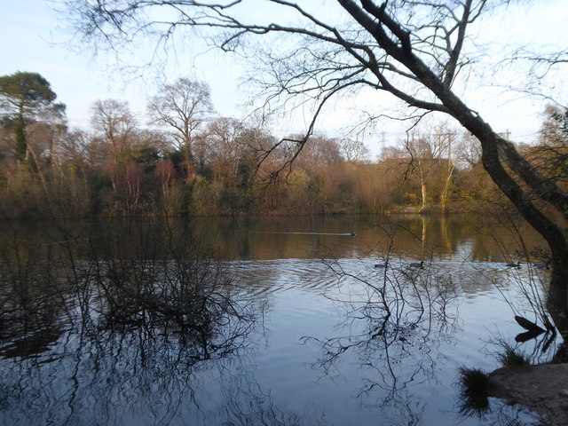
The Grove, located in Dorset, England, is a picturesque wood and forest area known for its natural beauty and tranquility. Covering an expansive area, it is a popular destination for nature lovers, hikers, and those seeking a peaceful retreat from the bustling city life.
The Grove boasts a diverse range of flora and fauna, making it an ideal habitat for various species. The wood is dominated by towering oak and beech trees, their canopies providing shade and shelter for an array of wildlife. Visitors can spot squirrels darting between branches, while a variety of birds, including woodpeckers and owls, can be heard and seen throughout the day.
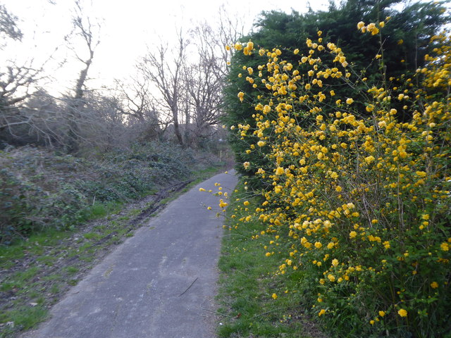
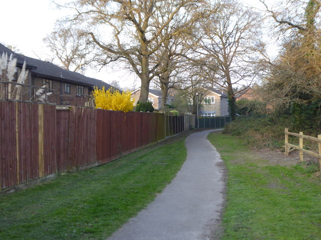
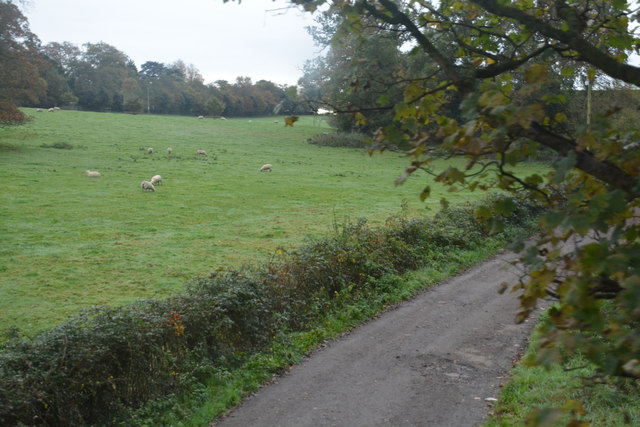
The forest floor is adorned with a carpet of wildflowers during the spring and summer months, creating a vibrant and colorful landscape. Ancient woodland pathways wind through the Grove, inviting exploration and discovery. As visitors delve deeper into the wood, they may stumble upon enchanting hidden clearings and babbling brooks, contributing to the area's ethereal charm.
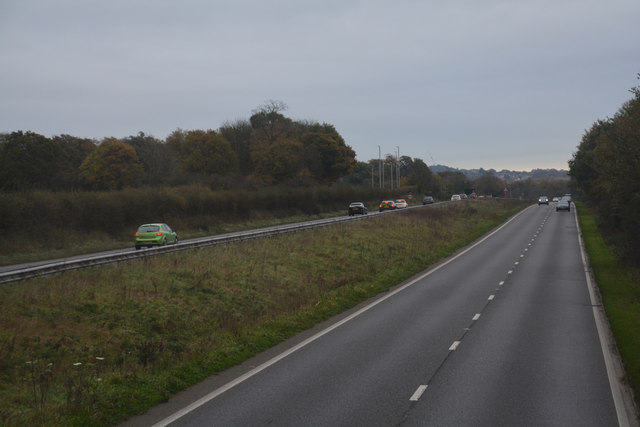
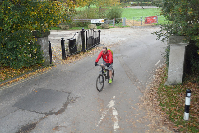
The Grove offers a range of recreational activities for all ages. Families can enjoy picnicking in designated areas, while adventure seekers can embark on hiking trails that lead to stunning viewpoints. The wood also provides an ideal setting for photography enthusiasts, capturing the beauty of nature in all its glory.
Visitors are encouraged to respect the environment and adhere to designated paths to preserve the delicate ecosystem of The Grove. With its serene ambiance, diverse wildlife, and breathtaking scenery, The Grove in Dorset is a must-visit destination for nature enthusiasts and those seeking solace in the great outdoors.
If you have any feedback on the listing, please let us know in the comments section below.
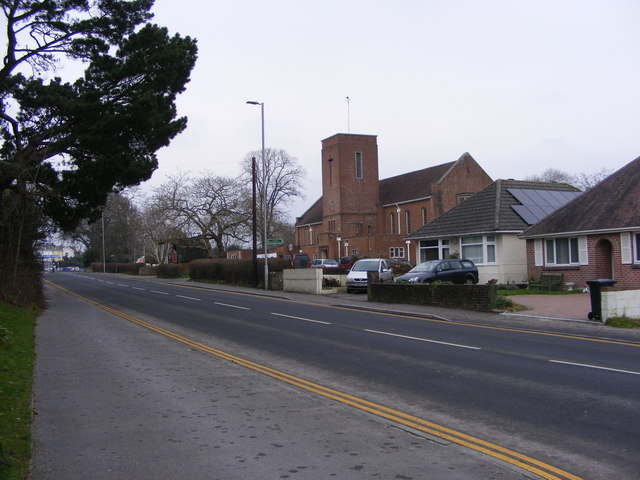
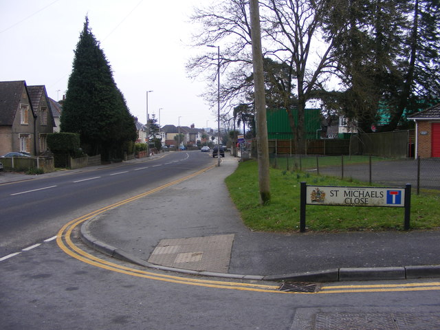
The Grove Images
Images are sourced within 2km of 50.732592/-2.0154209 or Grid Reference SY9992. Thanks to Geograph Open Source API. All images are credited.
The Grove is located at Grid Ref: SY9992 (Lat: 50.732592, Lng: -2.0154209)
Unitary Authority: Bournemouth, Christchurch and Poole
Police Authority: Dorset
What 3 Words
///test.curiosity.bridge. Near Poole, Dorset
Nearby Locations
Related Wikis

Upton House, Dorset
Upton House is a country house in the grounds of Upton Country Park on the northwestern shoreline of Holes Bay in the county of Dorset on the south coast...

Holes Bay Nature Park
Holes Bay Nature Park is a protected area, 286 hectares in size, on and around Holes Bay, an embayment of Poole Harbour within the Borough of Poole that...
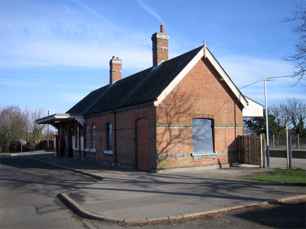
Hamworthy railway station
Hamworthy railway station serves Hamworthy, an area of Poole in Dorset, England. It is 115 miles 77 chains (186.6 km) down the line from London Waterloo...

Pergins Island
Pergins Island is a small, uninhabited island in Holes Bay, an embayment off Poole Harbour in Dorset on the south coast of England. It is not accessible...

Holes Bay
Holes Bay is an intertidal embayment off Poole Harbour in the county of Dorset on the south coast of England. It lies mostly within the Borough of Poole...

Upton, Dorset
Upton is a town in south-east Dorset, England. Upton is to the east of Holton Heath and Upton Heath, and to the north of the Poole suburb of Hamworthy...
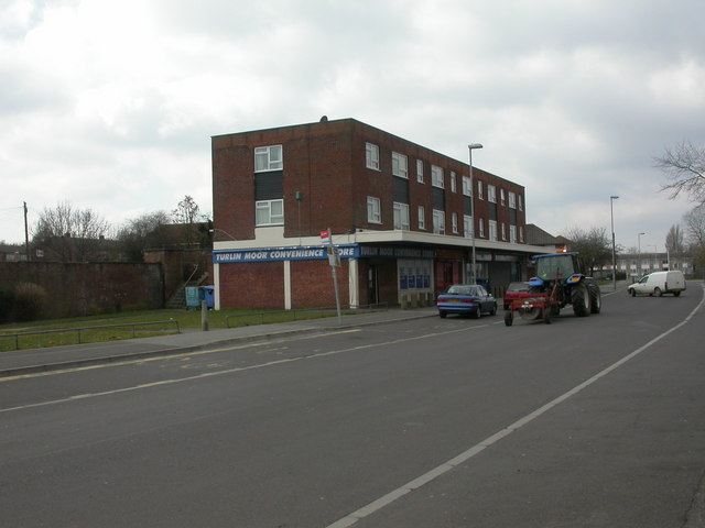
Turlin Moor
Turlin Moor is a suburb of Poole in Dorset, England, located between Hamworthy and Upton. Turlin Moor is classed as part of the Hamworthy Community and...

Upton Clock Tower
The Upton Clock Tower is a landmark in Upton, Dorset. == History == The clock tower was built to celebrate the new millennium in 2000. In 2014, a Armistice...
Nearby Amenities
Located within 500m of 50.732592,-2.0154209Have you been to The Grove?
Leave your review of The Grove below (or comments, questions and feedback).