Ash Coppice

Wood, Forest in Gloucestershire Wychavon

England

Ash Coppice

Bredon Hill crest path, 13 Gradual descent south-east towards Ashton.
The distinctive outline of Dumbleton/Alderton Hill can be seen clearly as well as the Cotswold crest beyond.
This picture represents the completion of Hectad SO93 by the photographer, ie. a Geograph in every one of the 100 squares.
Bredon Hill crest path, 13 Credit: Jonathan Billinger

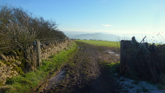
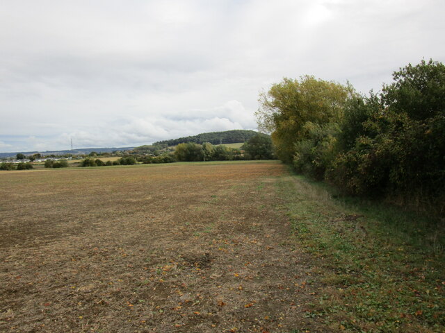
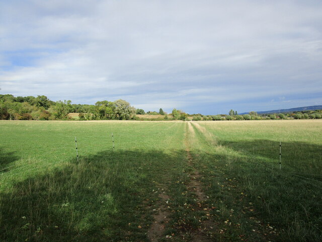
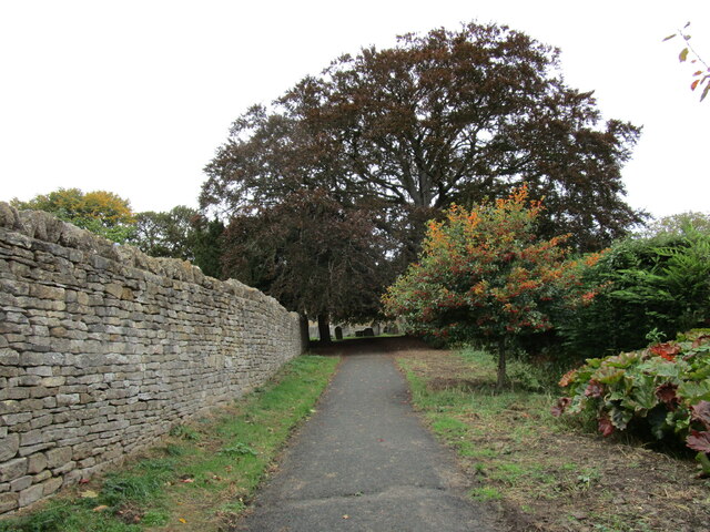
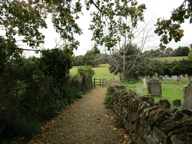
Ash Coppice is a serene woodland located in Gloucestershire, England. Covering an area of approximately 100 acres, it is known for its picturesque and diverse natural beauty. The woodland is predominantly made up of ash trees, hence the name "Ash Coppice," and it is a popular destination for nature enthusiasts, hikers, and wildlife lovers.

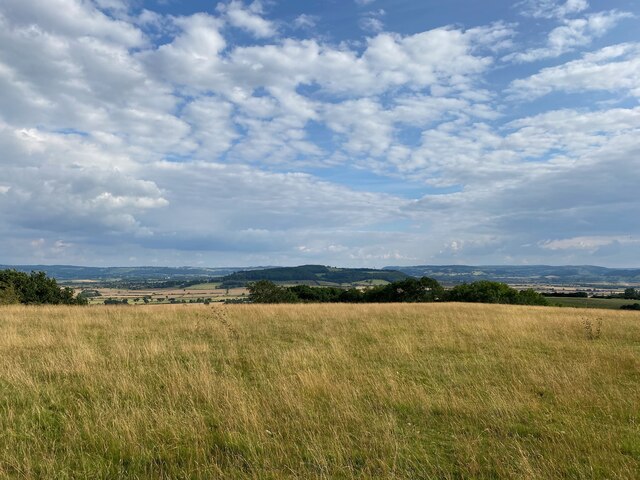
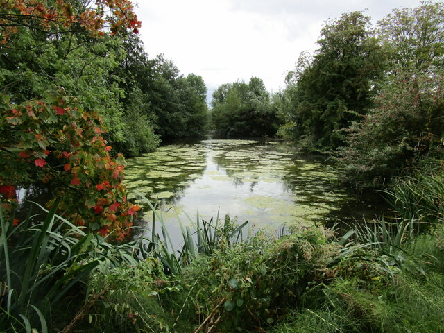
The woodland offers a peaceful and tranquil environment, making it an ideal spot for those seeking solace amidst nature. The dense canopy of ash trees provides shade and a cool atmosphere, making it a perfect escape from the summer heat. During the spring and summer months, the woodland comes alive with vibrant flora, including bluebells, wild garlic, and various ferns.

Ash Coppice is a haven for wildlife, providing a habitat for a wide range of species. Birdwatchers can spot various avian species, such as woodpeckers, finches, and owls. Squirrels and rabbits are commonly seen scampering around, while deer occasionally make appearances in the early morning or late evening.

Numerous walking trails crisscross the woodland, allowing visitors to explore its enchanting beauty. The trails vary in difficulty, catering to both casual strollers and seasoned hikers. Along the way, there are strategically placed benches and picnic spots, offering opportunities to rest and appreciate the surroundings.

Overall, Ash Coppice in Gloucestershire is a natural gem, offering a slice of tranquility and a chance to immerse oneself in the wonders of the woodland environment. Whether one seeks a leisurely stroll or a deeper connection with nature, this woodland is a must-visit destination for all nature enthusiasts.

If you have any feedback on the listing, please let us know in the comments section below.
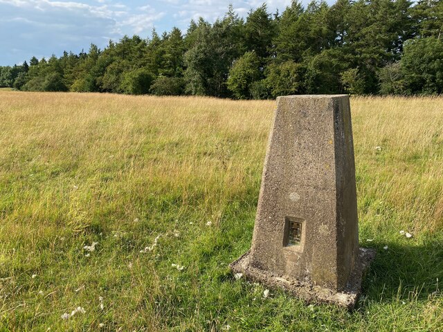
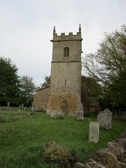
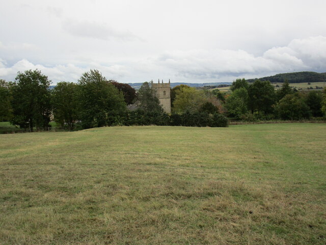
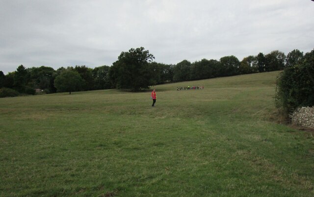
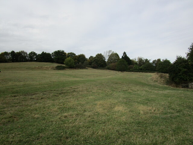
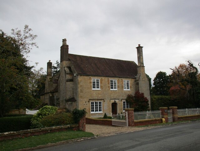
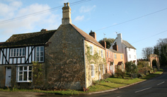
Ash Coppice Images

Images are sourced within 2km of 52.037054/-2.0169084 or Grid Reference SO9837. Thanks to Geograph Open Source API. All images are credited.

Bredon Hill crest path, 13 Gradual descent south-east towards Ashton.
The distinctive outline of Dumbleton/Alderton Hill can be seen clearly as well as the Cotswold crest beyond.
This picture represents the completion of Hectad SO93 by the photographer, ie. a Geograph in every one of the 100 squares.
Bredon Hill crest path, 13
Gradual descent south-east towards Ashton. The distinctive outline of Dumbleton/Alderton Hill can be seen clearly as well as the Cotswold crest beyond. This picture represents the completion of Hectad SO93 by the photographer, ie. a Geograph in every one of the 100 squares.
Holcomb Nap Trig Point Flush Bracket S3790
View from Holcomb Nap Trig Point Flush Bracket S3790
Cross Cottage, Ashton under Hill Dates from the seventeenth century <span class="nowrap"><a title="https://historicengland.org.uk/listing/the-list/list-entry/1349961?section=official-list-entry" rel="nofollow ugc noopener" href="https://historicengland.org.uk/listing/the-list/list-entry/1349961?section=official-list-entry">Link</a><img style="margin-left:2px;" alt="External link" title="External link - shift click to open in new window" src="https://s1.geograph.org.uk/img/external.png" width="10" height="10"/></span>
Cross Cottage, Ashton under Hill
Dates from the seventeenth century LinkExternal link
Field edge near Ashton under Hill Looking towards Dumbleton Hill.
Field edge near Ashton under Hill
Looking towards Dumbleton Hill.
Footpath to Ashton under Hill
Harrowed field near Grafton
Village cross, Ashton under Hill Dates from the fifteenth century <span class="nowrap"><a title="https://historicengland.org.uk/listing/the-list/list-entry/1167161?section=official-list-entry" rel="nofollow ugc noopener" href="https://historicengland.org.uk/listing/the-list/list-entry/1167161?section=official-list-entry">Link</a><img style="margin-left:2px;" alt="External link" title="External link - shift click to open in new window" src="https://s1.geograph.org.uk/img/external.png" width="10" height="10"/></span>
Village cross, Ashton under Hill
Dates from the fifteenth century LinkExternal link
Walnut Thatch, Ashton under Hill Dates from the sixteenth century <span class="nowrap"><a title="https://historicengland.org.uk/listing/the-list/list-entry/1349960?section=official-list-entry" rel="nofollow ugc noopener" href="https://historicengland.org.uk/listing/the-list/list-entry/1349960?section=official-list-entry">Link</a><img style="margin-left:2px;" alt="External link" title="External link - shift click to open in new window" src="https://s1.geograph.org.uk/img/external.png" width="10" height="10"/></span>
Walnut Thatch, Ashton under Hill
Dates from the sixteenth century LinkExternal link
Footpath to the church, Ashton under Hill
St Barbara's church, Ashton under Hill Has twelfth century origins though most of what is visible in this picture dates from the early sixteenth and seventeenth centuries <span class="nowrap"><a title="https://historicengland.org.uk/listing/the-list/list-entry/1081663?section=official-list-entry" rel="nofollow ugc noopener" href="https://historicengland.org.uk/listing/the-list/list-entry/1081663?section=official-list-entry">Link</a><img style="margin-left:2px;" alt="External link" title="External link - shift click to open in new window" src="https://s1.geograph.org.uk/img/external.png" width="10" height="10"/></span>
St Barbara's church, Ashton under Hill
Has twelfth century origins though most of what is visible in this picture dates from the early sixteenth and seventeenth centuries LinkExternal link
Footpath alongside the churchyard, Ashton under Hill
Reservoir at Ashton under Hill
St Barbara's church, Ashton under Hill The west tower dates from the thirteenth century with an upper stage of about 1500 <span class="nowrap"><a title="https://historicengland.org.uk/listing/the-list/list-entry/1081663?section=official-list-entry" rel="nofollow ugc noopener" href="https://historicengland.org.uk/listing/the-list/list-entry/1081663?section=official-list-entry">Link</a><img style="margin-left:2px;" alt="External link" title="External link - shift click to open in new window" src="https://s1.geograph.org.uk/img/external.png" width="10" height="10"/></span>
St Barbara's church, Ashton under Hill
The west tower dates from the thirteenth century with an upper stage of about 1500 LinkExternal link
View over Ashton under Hill St Barbara's church in the centre of the picture.
View over Ashton under Hill
St Barbara's church in the centre of the picture.
Here they come! Children from Ashton under Hill First School about to race down the hill above the church. Some made spectacular dives and are clearly training to be professional footballers!
Here they come!
Children from Ashton under Hill First School about to race down the hill above the church. Some made spectacular dives and are clearly training to be professional footballers!
Grass field, Ashton under Hill
Middle Farmhouse, Ashton under Hill A later frontage to a seventeenth century house (visible on the left) <span class="nowrap"><a title="https://historicengland.org.uk/listing/the-list/list-entry/1081665?section=official-list-entry" rel="nofollow ugc noopener" href="https://historicengland.org.uk/listing/the-list/list-entry/1081665?section=official-list-entry">Link</a><img style="margin-left:2px;" alt="External link" title="External link - shift click to open in new window" src="https://s1.geograph.org.uk/img/external.png" width="10" height="10"/></span>
Middle Farmhouse, Ashton under Hill
A later frontage to a seventeenth century house (visible on the left) LinkExternal link
Show me another place!

Ash Coppice is located at Grid Ref: SO9837 (Lat: 52.037054, Lng: -2.0169084)

Administrative County: Worcestershire

District: Wychavon

Police Authority: West Mercia

What 3 Words

///applause.beak.luring. Near Bredon, Worcestershire

Nearby Locations

Ash Coppice Grafton

Related Wikis

Grafton, Worcestershire

Grafton is a hamlet in Worcestershire, England, situated between the villages of Beckford and Ashton under Hill, south-east of Bredon Hill. The name Grafton...

Ashton under Hill

Ashton under Hill is a village and civil parish in the Wychavon district of Worcestershire in England. It is situated at the foot of Bredon Hill. According...

Ashton-under-Hill railway station

Ashton-under-Hill railway station was a station on the Midland Railway between Great Malvern and Evesham. It served Ashton under Hill in Worcestershire...

Beckford Nature Reserve

Beckford Nature Reserve is near Beckford, in Worcestershire, England, situated immediately north of the village. The nature reserve was created from a...

Beckford Priory

Beckford Priory was a medieval house of Augustinian Canons, historically within Gloucestershire, presently in Worcestershire, England. It was founded in...

Beckford railway station

Beckford railway station was a station on the Midland Railway between Great Malvern and Evesham. It was designed by the architect George Hunt and opened...

Kersoe

Kersoe is a hamlet in Worcestershire, England. It is at the foot of Bredon Hill an area of outstanding natural beauty.

Beckford, Worcestershire

Beckford is a small village on the main Cheltenham to Evesham Road, five miles north-east of Tewkesbury, on the Worcestershire—Gloucestershire border....

Nearby Amenities

Located within 500m of 52.037054,-2.0169084
Grafton
Place: hamlet
Wikidata: Q5592516
Lat/Long: 52.0339193/-2.0219752
Paris
Place: locality
Source: OS 1:25k
Lat/Long: 52.0371315/-2.0106719
Fixme: Does a public Footpaths head south-east from here?
Note: Definitive Statement and historic OS 1:25k suggest Ashton FP 17 starts here
Lat/Long: 52.0373993/-2.0109889
East Worcestershire Water Works
Power: pole
Transformer: distribution
Voltage Primary: 11000
Lat/Long: 52.0372079/-2.0207052
Power: pole
Lat/Long: 52.0366403/-2.0208246
Power: pole
Lat/Long: 52.0356387/-2.0210351
Upper Farm
Power: pole
Transformer: distribution
Voltage Primary: 11000
Lat/Long: 52.0347089/-2.0212591
Power: pole
Lat/Long: 52.03477/-2.0206274
Location Transition: yes
Power: pole
Lat/Long: 52.0342601/-2.0203753
Middle Farm
Location Transition: yes
Power: pole
Transformer: distribution
Voltage Primary: 11000
Lat/Long: 52.0332973/-2.0198911
Paris
Power: pole
Transformer: distribution
Voltage Primary: 11000
Lat/Long: 52.0370132/-2.0101789
The data included in this document is from www.openstreetmap.org. The data is made available under ODbL.

Have you been to Ash Coppice?

Leave your review of Ash Coppice below (or comments, questions and feedback).