Stell Plantation
Wood, Forest in Northumberland
England
Stell Plantation
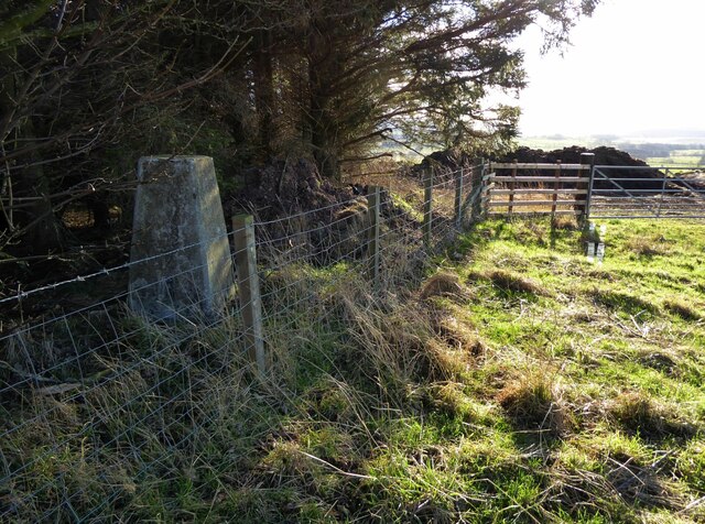
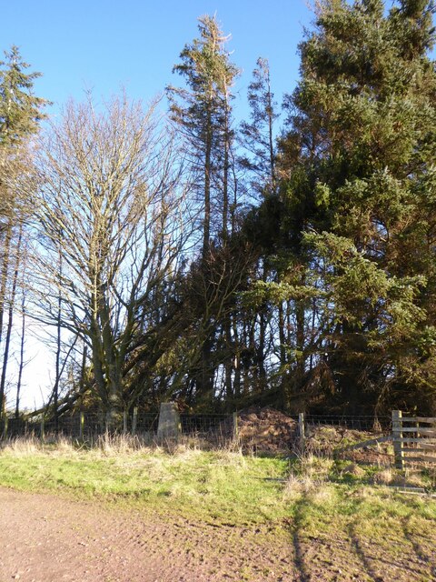
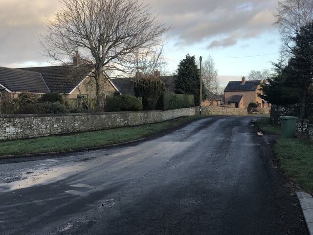
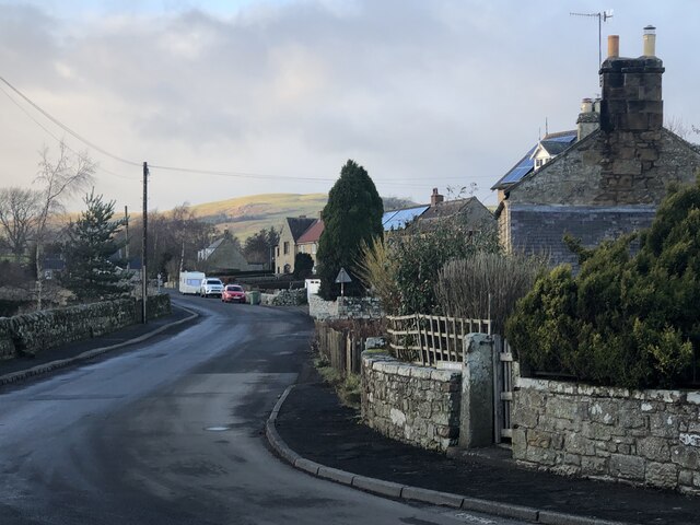
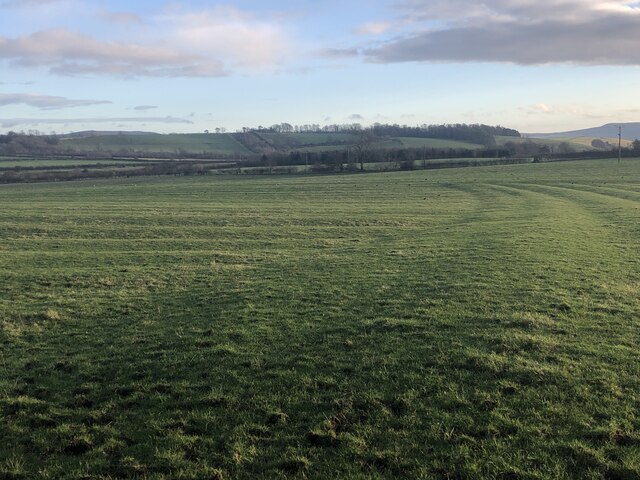
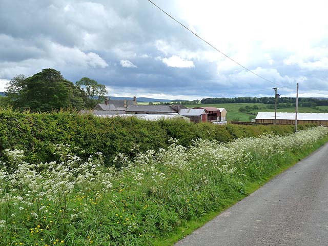
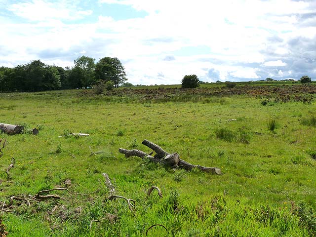
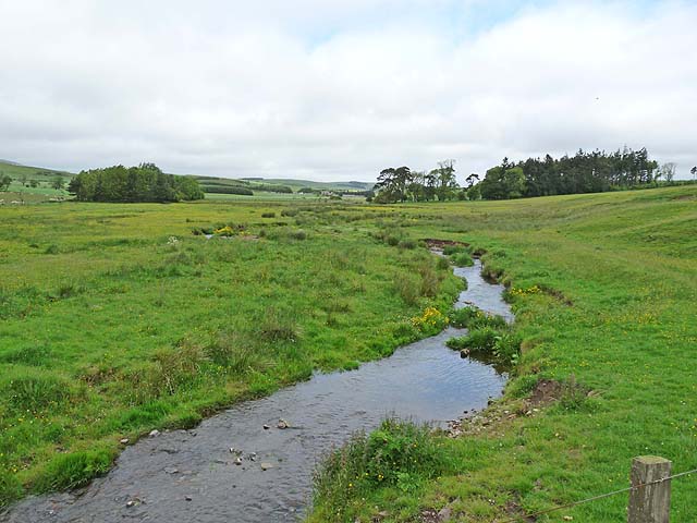
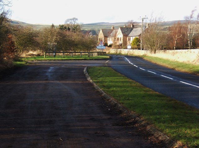
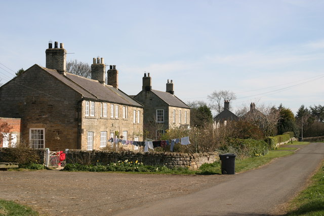
Stell Plantation is a sprawling woodland located in Northumberland, England. Covering an area of approximately 200 acres, it is a haven for nature enthusiasts and outdoor adventurers alike. The plantation is situated in the heart of the county, surrounded by picturesque landscapes and rolling hills.
The woodland of Stell Plantation is predominantly composed of native tree species, including oak, beech, and birch. These trees create a dense and diverse forest, providing a habitat for various wildlife species. The plantation is home to a myriad of birds, such as woodpeckers, owls, and finches, making it a popular destination for birdwatchers.
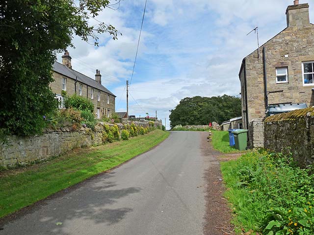
Visitors to Stell Plantation can explore its well-maintained footpaths and trails, which wind their way through the woodland. These paths offer a chance to immerse oneself in the serenity of nature, observe the flora and fauna, and enjoy a peaceful walk or cycle ride.
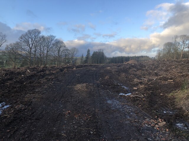
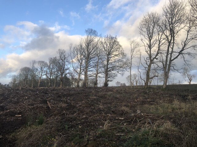
In addition to its natural beauty, Stell Plantation also boasts historical significance. It is believed to have been in existence since medieval times, serving as a source of timber for the local community. Today, remnants of its past can still be seen in the form of old stone walls and the occasional abandoned sawmill.
Stell Plantation is a cherished natural resource within Northumberland, providing a sanctuary for plants, animals, and visitors alike. Its tranquil ambiance and rich biodiversity make it an ideal destination for those seeking an escape from the hustle and bustle of everyday life.
If you have any feedback on the listing, please let us know in the comments section below.
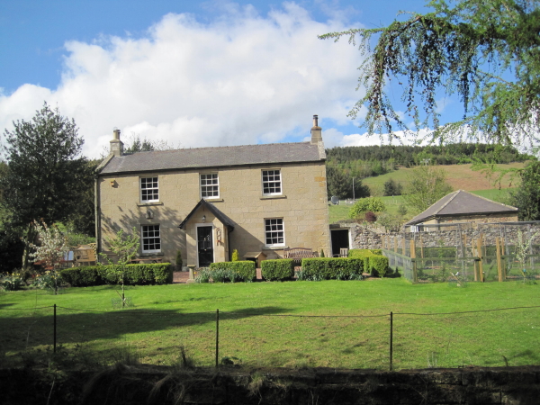
Stell Plantation Images
Images are sourced within 2km of 55.35348/-2.0184398 or Grid Reference NT9806. Thanks to Geograph Open Source API. All images are credited.


Stell Plantation is located at Grid Ref: NT9806 (Lat: 55.35348, Lng: -2.0184398)
Unitary Authority: Northumberland
Police Authority: Northumbria
What 3 Words
///montage.metro.vacancies. Near Rothbury, Northumberland
Nearby Locations
Related Wikis

Burradon, Northumberland
Burradon is a village and former civil parish, now in the parish of Netherton, in Northumberland, England. It is about 14 miles (23 km) to the south-west...

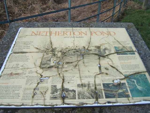
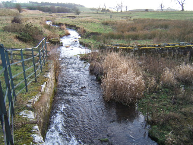
Netherton, Northumberland
Netherton is a village and civil parish in the English county of Northumberland. The population of the village at the 2011 census was 185.Located 6+1⁄2...
Milbourne, Northumberland
Milbourne is a village and former civil parish 14 miles (23 km) from Morpeth, now in the parish of Ponteland, in the county of Northumberland, England...

Scrainwood
Scrainwood is a hamlet and former civil parish 20 miles (32 km) from Morpeth, now in the parish of Alnham, in the county of Northumberland, England. In...
Biddlestone
Biddlestone is a village and civil parish in Northumberland, England. It is about 14 miles (23 km) to the west of Alnwick. In the early 21st Century several...

Biddlestone Chapel
Biddlestone Chapel is a redundant Roman Catholic chapel in Biddlestone, Northumberland, England. It is recorded in the National Heritage List for England...

Biddlestone Hall
Biddlestone Hall was a large country house at Biddlestone in Northumberland. == History == The Georgian style mansion was built for the Selby family about...

Alnham
Alnham is a hamlet and civil parish in Northumberland, England. It is about 14 miles (23 km) west of Alnwick, about 6 miles (9.7 km) from Scotland and...
Have you been to Stell Plantation?
Leave your review of Stell Plantation below (or comments, questions and feedback).