Tarns Plantation

Wood, Forest in Yorkshire Craven

England

Tarns Plantation

County Bridge Marker on the B6265, Grassington County Bridge Marker against a stone garden wall on the south side of the B6265 Station Road east of Grassington Bridge, River Wharfe. Grassington parish. The casting marks the extent of roadway adjoining the bridge that the County was obliged to maintain.

Milestone Society National ID: YW_GRASS07br
County Bridge Marker on the B6265, Grassington Credit: P Robertson

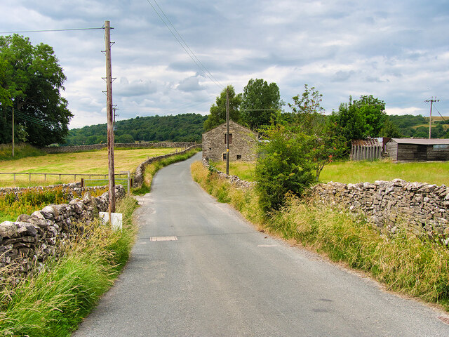
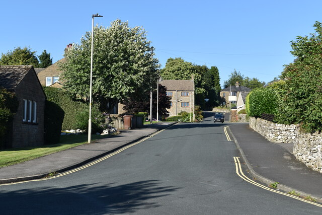
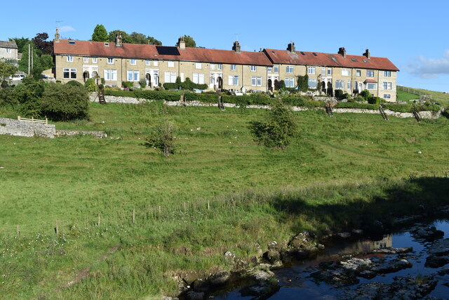
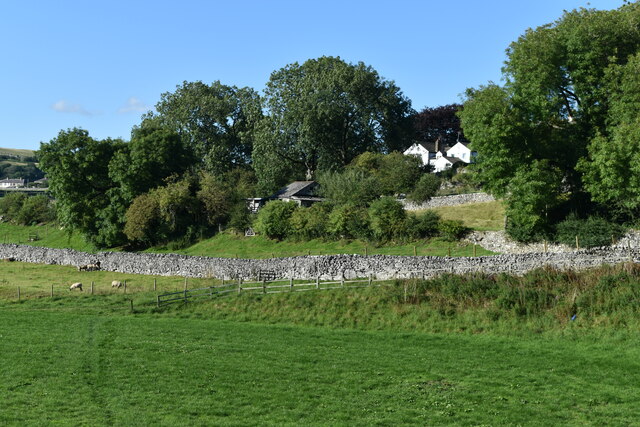
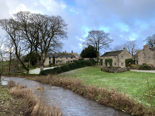
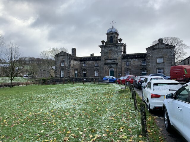
Tarns Plantation is a picturesque woodland located in Yorkshire, England. Covering a vast area, it is known for its breathtaking beauty and serene atmosphere. Situated near the village of Wood, this forested area is a popular destination for nature enthusiasts and hikers alike.

The plantation is home to a diverse range of trees, including oak, beech, and pine, which create a dense canopy overhead. The woodland floor is adorned with a variety of plant species, such as bluebells, ferns, and wild garlic, adding vibrant colors to the landscape throughout the seasons.

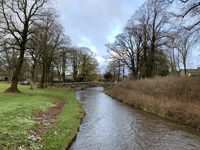
Tranquil tarns, or small lakes, are scattered throughout the plantation, giving it its name. These shimmering water bodies provide a serene setting for visitors to relax and enjoy the tranquility of the surroundings. Additionally, they attract a wide array of wildlife, including ducks, swans, and various species of birds.

Tarns Plantation offers numerous walking trails, allowing visitors to explore its natural wonders at their own pace. These trails meander through the woodland, offering glimpses of the local fauna and flora along the way. The plantation also features several picnic areas, providing a perfect spot for families and friends to enjoy a leisurely outdoor meal.

The plantation is well-maintained, with clearly marked paths and informative signboards that educate visitors about the local ecosystem. It is recommended to bring appropriate footwear and clothing when visiting, as the trails can be uneven and muddy in some areas, especially after rainfall.

In conclusion, Tarns Plantation in Yorkshire is a captivating woodland that captivates visitors with its stunning beauty and tranquil ambiance. It is a haven for nature lovers and provides an ideal escape from the hustle and bustle of everyday life.

If you have any feedback on the listing, please let us know in the comments section below.

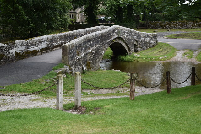
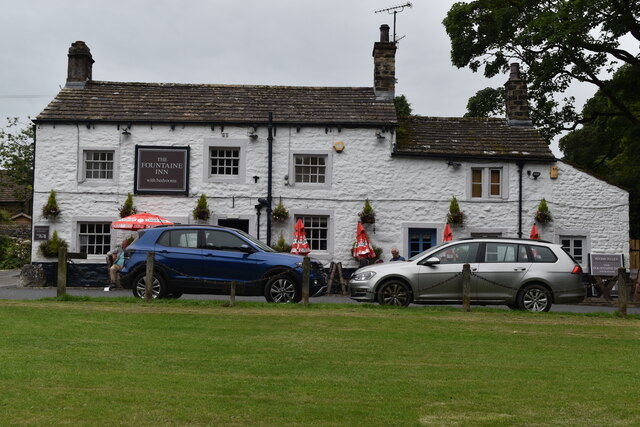
Tarns Plantation Images

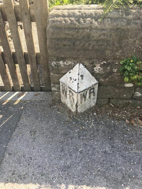
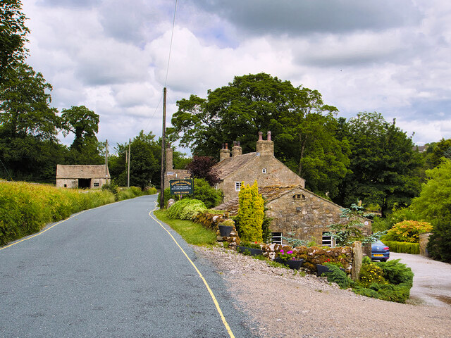
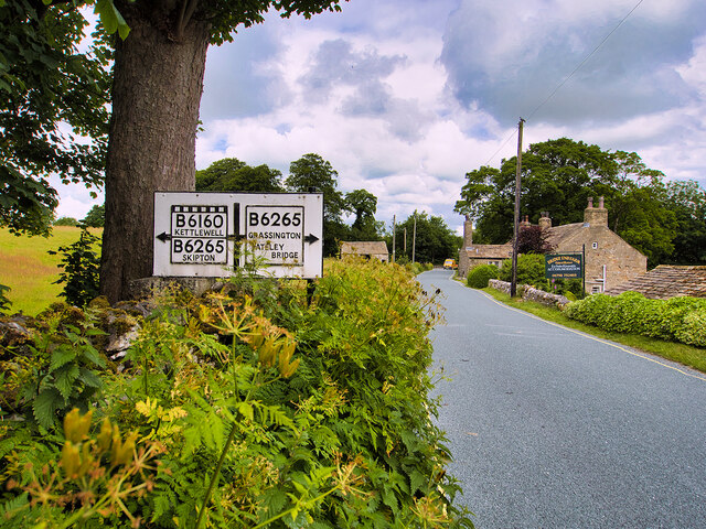
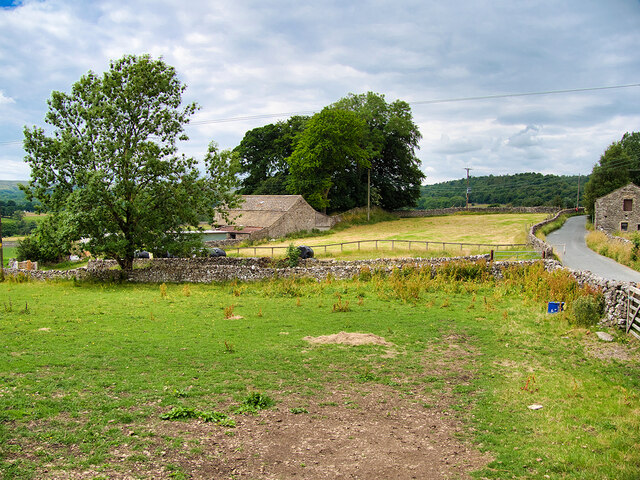
Images are sourced within 2km of 54.061541/-2.0209713 or Grid Reference SD9862. Thanks to Geograph Open Source API. All images are credited.

County Bridge Marker on the B6265, Grassington County Bridge Marker against a stone garden wall on the south side of the B6265 Station Road east of Grassington Bridge, River Wharfe. Grassington parish. The casting marks the extent of roadway adjoining the bridge that the County was obliged to maintain.

Milestone Society National ID: YW_GRASS07br
County Bridge Marker on the B6265, Grassington
County Bridge Marker against a stone garden wall on the south side of the B6265 Station Road east of Grassington Bridge, River Wharfe. Grassington parish. The casting marks the extent of roadway adjoining the bridge that the County was obliged to maintain. Milestone Society National ID: YW_GRASS07br
River Wharfe, Linton Falls Hydro Electric Power Station The turbine house was originally built in 1909 by the Grassington Electricity Supply Company and took advantage of the Upper Linton Falls weir which had been constructed in the early nineteenth century. In 1921, the site was taken over by the Linton Mill Electricity Supply Company who extended the original turbine house with two new hydroelectricity generators which were installed in the turbine bays which can still be seen today.

The station continued generating electricity until the National Grid began supplying the Yorkshire Dales for the first time in 1948 which meant that local power generation was no longer financially viable. The structure was abandoned and left unused and left abandoned for 60 years.

Because of its significance as an early example of a local electricity generating site, Linton Falls was designated as a scheduled monument in 2001 (List Entry Number: 1020895 <span class="nowrap"><a title="https://historicengland.org.uk/listing/the-list/list-entry/1020895" rel="nofollow ugc noopener" href="https://historicengland.org.uk/listing/the-list/list-entry/1020895">Link</a><img style="margin-left:2px;" alt="External link" title="External link - shift click to open in new window" src="https://s1.geograph.org.uk/img/external.png" width="10" height="10"/></span> Historic England). The turbine house was carefully restored in 2011 and two new Archimedean screw turbines were installed, enabling the site to become operational and supply electricity again.
River Wharfe, Linton Falls Hydro Electric Power Station
The turbine house was originally built in 1909 by the Grassington Electricity Supply Company and took advantage of the Upper Linton Falls weir which had been constructed in the early nineteenth century. In 1921, the site was taken over by the Linton Mill Electricity Supply Company who extended the original turbine house with two new hydroelectricity generators which were installed in the turbine bays which can still be seen today. The station continued generating electricity until the National Grid began supplying the Yorkshire Dales for the first time in 1948 which meant that local power generation was no longer financially viable. The structure was abandoned and left unused and left abandoned for 60 years. Because of its significance as an early example of a local electricity generating site, Linton Falls was designated as a scheduled monument in 2001 (List Entry Number: 1020895 LinkExternal link Historic England). The turbine house was carefully restored in 2011 and two new Archimedean screw turbines were installed, enabling the site to become operational and supply electricity again.
Hydro-electric Power House and Weir at Linton The turbine house was originally built in 1909 by the Grassington Electricity Supply Company and took advantage of the Upper Linton Falls weir which had been constructed in the early nineteenth century. In 1921, the site was taken over by the Linton Mill Electricity Supply Company who extended the original turbine house with two new hydroelectricity generators which were installed in the turbine bays which can still be seen today.

The station continued generating electricity until the National Grid began supplying the Yorkshire Dales for the first time in 1948 which meant that local power generation was no longer financially viable. The structure was abandoned and left unused and left abandoned for 60 years.

Because of its significance as an early example of a local electricity generating site, Linton Falls was designated as a scheduled monument in 2001 (List Entry Number: 1020895 <span class="nowrap"><a title="https://historicengland.org.uk/listing/the-list/list-entry/1020895" rel="nofollow ugc noopener" href="https://historicengland.org.uk/listing/the-list/list-entry/1020895">Link</a><img style="margin-left:2px;" alt="External link" title="External link - shift click to open in new window" src="https://s1.geograph.org.uk/img/external.png" width="10" height="10"/></span> Historic England). The turbine house was carefully restored in 2011 and two new Archimedean screw turbines were installed, enabling the site to become operational and supply electricity again.
Hydro-electric Power House and Weir at Linton
The turbine house was originally built in 1909 by the Grassington Electricity Supply Company and took advantage of the Upper Linton Falls weir which had been constructed in the early nineteenth century. In 1921, the site was taken over by the Linton Mill Electricity Supply Company who extended the original turbine house with two new hydroelectricity generators which were installed in the turbine bays which can still be seen today. The station continued generating electricity until the National Grid began supplying the Yorkshire Dales for the first time in 1948 which meant that local power generation was no longer financially viable. The structure was abandoned and left unused and left abandoned for 60 years. Because of its significance as an early example of a local electricity generating site, Linton Falls was designated as a scheduled monument in 2001 (List Entry Number: 1020895 LinkExternal link Historic England). The turbine house was carefully restored in 2011 and two new Archimedean screw turbines were installed, enabling the site to become operational and supply electricity again.
Bridge End Farm, Threshfield The farmhouse dates from the mid-eighteenth century and is now used for bed and breakfast/guest house accommodation. It is a Grade II listed building (List Entry No: 1132096 <span class="nowrap"><a title="https://historicengland.org.uk/listing/the-list/list-entry/1132096" rel="nofollow ugc noopener" href="https://historicengland.org.uk/listing/the-list/list-entry/1132096">Link</a><img style="margin-left:2px;" alt="External link" title="External link - shift click to open in new window" src="https://s1.geograph.org.uk/img/external.png" width="10" height="10"/></span> Historic England).
Bridge End Farm, Threshfield
The farmhouse dates from the mid-eighteenth century and is now used for bed and breakfast/guest house accommodation. It is a Grade II listed building (List Entry No: 1132096 LinkExternal link Historic England).
Old-style Road Sign near Grassington
Grassington, Sikes Lathe
Grass Wood Lane
Grass Wood Lane
Wharfe Lane
Wharfe Lane
Riverside houses, Grassington
Riverside field and path, Grassington
Old stone bridge over Linton Beck
The Fountaine Inn, Linton
Hydro electric power station above Linton Falls
Llyn Bank In Linton.
Llyn Bank
In Linton.
Arthur Anderton Memorial Institute and Men's Reading Room In Linton.
Arthur Anderton Memorial Institute and Men's Reading Room
In Linton.
Houses above Linton Beck In the distance, White Abbey, Grade II listed, listing number 1316811.
Houses above Linton Beck
In the distance, White Abbey, Grade II listed, listing number 1316811.
Fountaine's Hospital, Linton Grade II* listed. Listing number 1132124. Chapel and almshouses. 1721 by Richard Fountaine, extended to the rear in the late 19th century.
Fountaine's Hospital, Linton
Grade II* listed. Listing number 1132124. Chapel and almshouses. 1721 by Richard Fountaine, extended to the rear in the late 19th century.
Bridge over the ford at Linton Grade II listed. Listing number 1132118 Pedestrian bridge. Late C17 - early C18 with later repairs. Gritstone rubble with larger blocks to parapets. A single shallow arch with small flood arch to east, both with voussoirs set back and a slightly-projecting drip-course. 3 or 4 courses of stone to parapet which has rounded copings. A pedestrian or packhorse bridge aligned to carry a route towards Burnsall, along the south bank of the Wharfe, and replaced by a late C19 bridge carrying north-bound traffic towards the river crossing at Grassington.
Bridge over the ford at Linton
Grade II listed. Listing number 1132118 Pedestrian bridge. Late C17 - early C18 with later repairs. Gritstone rubble with larger blocks to parapets. A single shallow arch with small flood arch to east, both with voussoirs set back and a slightly-projecting drip-course. 3 or 4 courses of stone to parapet which has rounded copings. A pedestrian or packhorse bridge aligned to carry a route towards Burnsall, along the south bank of the Wharfe, and replaced by a late C19 bridge carrying north-bound traffic towards the river crossing at Grassington.
Show me another place!

Tarns Plantation is located at Grid Ref: SD9862 (Lat: 54.061541, Lng: -2.0209713)

Division: West Riding

Administrative County: North Yorkshire

District: Craven

Police Authority: North Yorkshire

What 3 Words

///abacus.water.community. Near Grassington, North Yorkshire

Related Wikis

Threshfield

Threshfield is a small village and civil parish in the Craven district of North Yorkshire, England with a population of 980 residents, reducing to 968...

Linton, North Yorkshire

Linton is a village and civil parish in the Craven district of North Yorkshire, England. The population as of the 2011 census was 176. It lies not far...

Grassington & Threshfield railway station

Grassington & Threshfield railway station (or Threshfield station) was a railway station that served the town of Grassington and village of Threshfield...

Upper Wharfedale School

Upper Wharfedale School is a coeducational secondary school located in Threshfield, North Yorkshire, England. The school is named after Wharfedale, one...

Nearby Amenities

Located within 500m of 54.061541,-2.0209713
Threshfield - Moor Lane
Bus: yes
Public Transport: stop_position
Lat/Long: 54.0652064/-2.0199041
lime kiln
Archaeological Site: lime_kiln
Historic: archaeological_site
Mineral: limestone
Output: lime
Source: OS sheet 134,1853
Lat/Long: 54.0644928/-2.0259006
lime kiln
Archaeological Site: lime_kiln
Historic: archaeological_site
Mineral: limestone
Output: lime
Source: OS 134,1853;EsriWorldImageryClarity
Lat/Long: 54.0637331/-2.0153359
Rakes Lathe
Source: OS 134,1853
Lat/Long: 54.0601343/-2.014885
Bus Stop
Threshfield - Moor Lane
Bus: yes
Public Transport: platform
Lat/Long: 54.0652256/-2.0199555
Bus Stop
Threshfield - Moor Lane
Bus: yes
Public Transport: platform
Lat/Long: 54.0654997/-2.0191569
Threshfield - Moor Lane
Bus: yes
Public Transport: stop_position
Lat/Long: 54.0655202/-2.019199
Power: pole
Lat/Long: 54.064715/-2.0232734
Power: pole
Lat/Long: 54.0643058/-2.0242015
Power: pole
Lat/Long: 54.0638193/-2.0252985
Power: pole
Lat/Long: 54.0633408/-2.026374
Power: pole
Lat/Long: 54.0628386/-2.0274684
Power: pole
Lat/Long: 54.0624545/-2.0283428
Power: pole
Lat/Long: 54.0608299/-2.028088
Power: pole
Lat/Long: 54.0601672/-2.0275462
Power: pole
Lat/Long: 54.059443/-2.0269051
Power: pole
Lat/Long: 54.0587046/-2.0263231
Power: pole
Lat/Long: 54.0580717/-2.0257625
The data included in this document is from www.openstreetmap.org. The data is made available under ODbL.

Have you been to Tarns Plantation?

Leave your review of Tarns Plantation below (or comments, questions and feedback).