Sovell Plantation

Wood, Forest in Dorset

England

Sovell Plantation

Track across downland north of Lower Farm
Track across downland north of Lower Farm Credit: David Martin

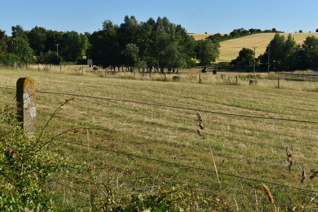
Sovell Plantation, located in Dorset, England, is a serene woodland area known for its natural beauty and rich history. Spanning over a vast expanse, this plantation is a popular destination for nature lovers, hikers, and those seeking a peaceful retreat.

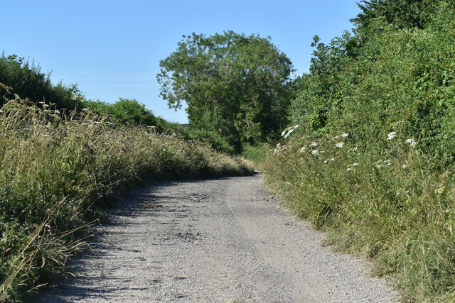
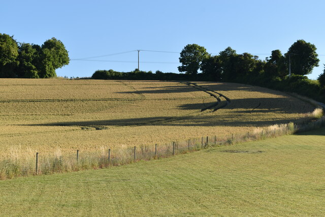
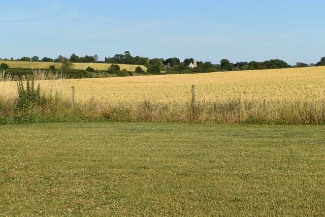
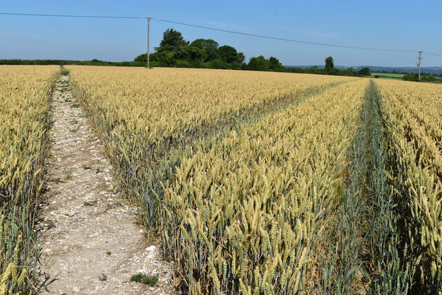
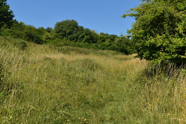
The plantation is primarily composed of dense, mature trees that create a lush canopy overhead, providing a cool and shaded environment. The dominant tree species found in the area include oak, beech, and birch, which thrive in the fertile soil and temperate climate of Dorset. The diverse vegetation supports a wide range of wildlife, making it an ideal spot for birdwatching and wildlife enthusiasts.

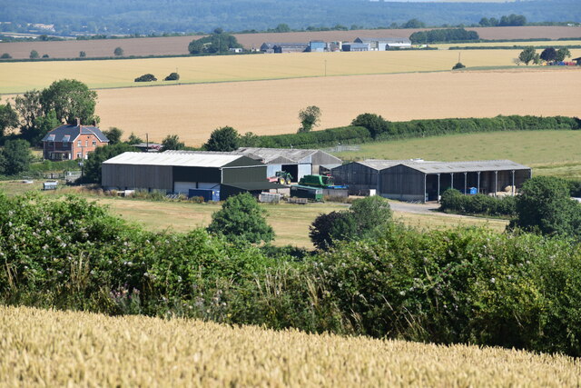
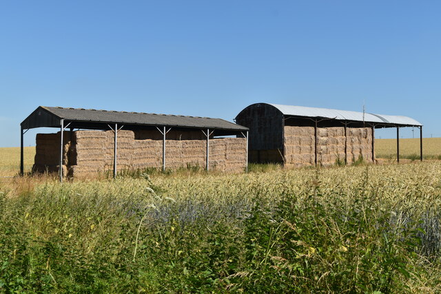
Historically, Sovell Plantation has been used for timber production, with sustainable forestry practices ensuring the preservation of the woodland ecosystem. The plantation is carefully managed to balance economic interests with environmental conservation, allowing visitors to witness the harmony between human activity and nature.

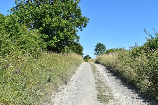
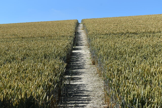
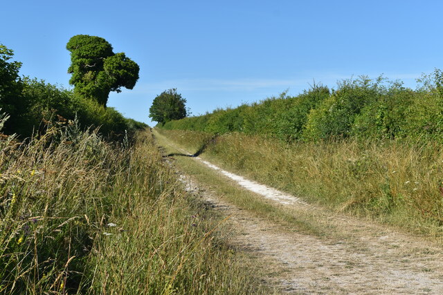
Visitors to Sovell Plantation can enjoy a network of well-maintained walking trails that wind their way through the woodland, providing opportunities to explore the area's natural wonders. These trails offer stunning views of the surrounding countryside, including rolling hills and picturesque meadows.

The plantation is easily accessible, located near the village of Dorset, and offers ample parking facilities. Whether you are looking to immerse yourself in nature, embark on an outdoor adventure, or simply enjoy a peaceful stroll through the woods, Sovell Plantation is a must-visit destination that showcases the beauty of the Dorset landscape.

If you have any feedback on the listing, please let us know in the comments section below.

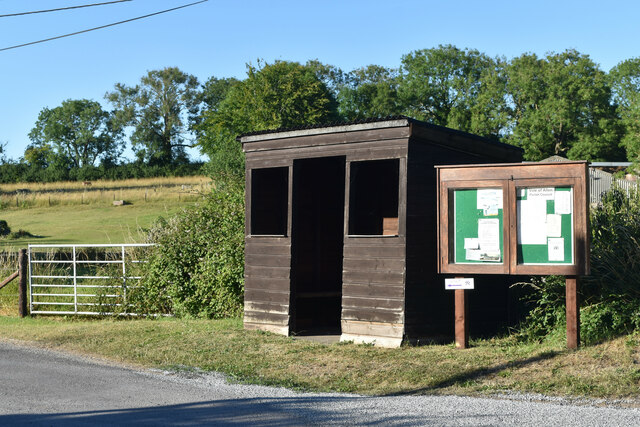
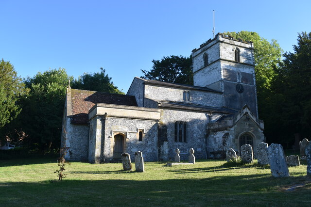
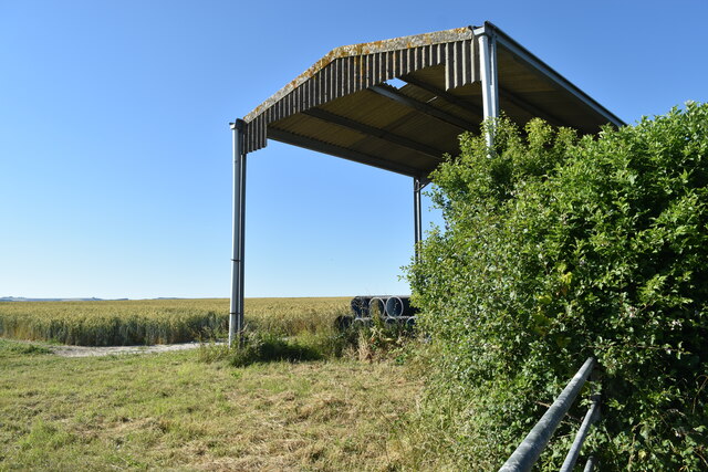
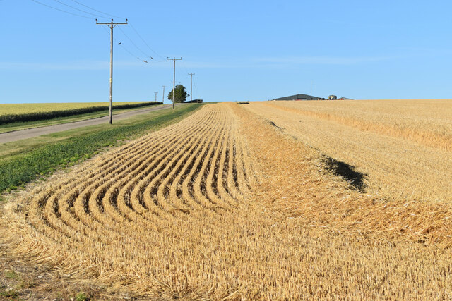
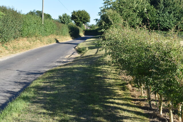
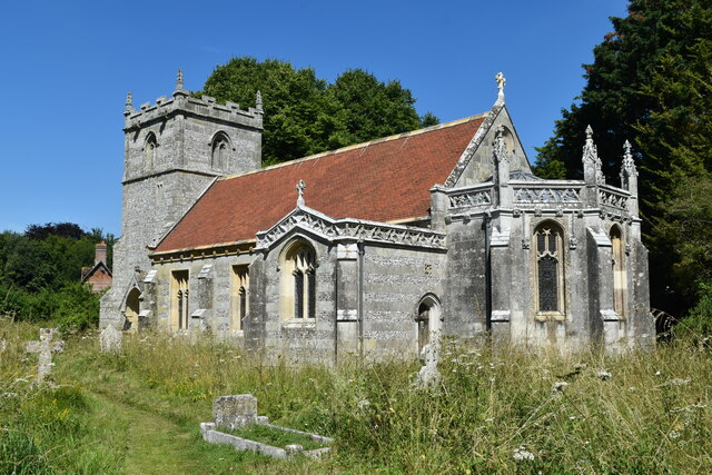
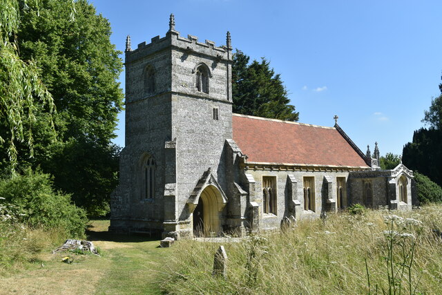
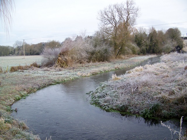
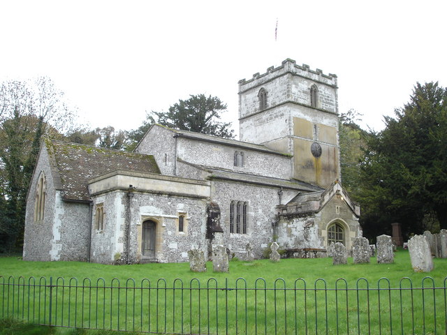
Sovell Plantation Images

Images are sourced within 2km of 50.898773/-2.0196147 or Grid Reference ST9811. Thanks to Geograph Open Source API. All images are credited.

Track across downland north of Lower Farm
Lower Farm, Gussage St Michael
Path to the horizon, Gussage St Michael On the ground, the path takes a more direct route up the field than that shown on the OS map.
Path to the horizon, Gussage St Michael
On the ground, the path takes a more direct route up the field than that shown on the OS map.
Track through Lower Farm A long gentle climb from Gussage St Michael to the summit of Gussage Hill.
Track through Lower Farm
A long gentle climb from Gussage St Michael to the summit of Gussage Hill.
Bus shelter, Gussage St Michael
St Michael’s Church
St Michael’s Church
Evening shadows, Gussage St Michael
Valley view towards Gussage All Saints Village church visible in the distance, as seen from the edge of Gussage St Michael.
Valley view towards Gussage All Saints
Village church visible in the distance, as seen from the edge of Gussage St Michael.
Field barn north of Gussage St Michael Soon to be filled: the combine harvester was paused in an adjacent field.
Field barn north of Gussage St Michael
Soon to be filled: the combine harvester was paused in an adjacent field.
Bridleway to Gussage Hill
A start on the harvest A start has been made on the edge of the field, but most of the crop is still standing.
A start on the harvest
A start has been made on the edge of the field, but most of the crop is still standing.
Roadside verge near Ryall's Lodge
Farmland near Ryall's Lodge
Path and tracks in field above Sovell Plantation
Barns north of Holly Grove Coppice
Path climbing through nature reserve on Sovell Down
St Mary’s Church, Long Crichel Now redundant, and in the care of the charity “Friends of Friendless Churches”.
St Mary’s Church, Long Crichel
Now redundant, and in the care of the charity “Friends of Friendless Churches”.
St Mary’s Church, Long Crichel Now redundant, and in the care of the charity “Friends of Friendless Churches”.
St Mary’s Church, Long Crichel
Now redundant, and in the care of the charity “Friends of Friendless Churches”.
Show me another place!

Sovell Plantation is located at Grid Ref: ST9811 (Lat: 50.898773, Lng: -2.0196147)

Unitary Authority: Dorset

Police Authority: Dorset

What 3 Words

///width.jogging.incurring. Near Pimperne, Dorset

Related Wikis

Gussage

Gussage is a series of three villages in north Dorset, England, situated along the Gussage Stream, a tributary of the River Allen on Cranborne Chase, 8...

Gussage St Michael

Gussage Saint Michael is a small village in East Dorset, in the south of England. At the 2001 census, the village had a population of 219. Gussage St...

Gussage All Saints

Gussage All Saints is a village and parish in the county of Dorset in southern England. It nestles within the East Dorset administrative district of the...

Knowlton Hundred

Knowlton Hundred was a hundred in the county of Dorset, England, containing the following parishes: Gussage All Saints Long Crichel Woodlands == See... ==

Nearby Amenities

Located within 500m of 50.898773,-2.0196147
Post Box
Brand: Post Office
Brand Wikidata: Q1783168
Operator: Post Office
Operator Wikidata: Q1783168
Post Box Type: lamp
Ref: BH21 106
Ref GB Uprn: 10015307029
Royal Cypher: EIIR
Royal Cypher Wikidata: Q33102113
Lat/Long: 50.9020801/-2.0217313
Gussage St Michael
Place: village
Wikidata: Q2097596
Wikipedia: en:Gussage St Michael
Lat/Long: 50.9024393/-2.0221547
Material: wood
Power: pole
Source: bing
Lat/Long: 50.8944097/-2.0189579
Material: wood
Power: pole
Source: bing
Lat/Long: 50.8952996/-2.0192959
Material: wood
Power: pole
Source: bing
Lat/Long: 50.8962047/-2.0196392
Material: wood
Power: pole
Source: bing
Lat/Long: 50.8970861/-2.0200067
Material: wood
Power: pole
Source: bing
Lat/Long: 50.8977746/-2.0133468
Material: wood
Power: pole
Source: bing
Lat/Long: 50.8978744/-2.0203124
Material: wood
Power: pole
Source: bing
Lat/Long: 50.8981265/-2.0143123
Material: wood
Power: pole
Source: bing
Lat/Long: 50.8984885/-2.0152699
Material: wood
Power: pole
Source: bing
Lat/Long: 50.8988353/-2.0162274
Material: wood
Power: pole
Source: bing
Lat/Long: 50.8991161/-2.0173647
Material: wood
Power: pole
Source: bing
Lat/Long: 50.8993766/-2.0184993
Material: wood
Power: pole
Source: bing
Lat/Long: 50.8993767/-2.0207255
Material: wood
Power: pole
Source: bing
Lat/Long: 50.8996557/-2.0196204
Material: wood
Power: pole
Source: bing
Lat/Long: 50.9007011/-2.0141085
Material: wood
Power: pole
Source: bing
Lat/Long: 50.90096/-2.015337
Material: wood
Power: pole
Source: bing
Lat/Long: 50.9012543/-2.0165949
Material: wood
Power: pole
Source: bing
Lat/Long: 50.9016044/-2.0181318
Material: wood
Power: pole
Source: bing
Lat/Long: 50.9018937/-2.0194085
Material: wood
Power: pole
Source: bing
Lat/Long: 50.9023825/-2.0210152
Material: wood
Power: pole
Source: bing
Lat/Long: 50.9026227/-2.0213827
Material: wood
Power: pole
Source: bing
Lat/Long: 50.9028883/-2.021439
Entrance: main
Lat/Long: 50.9015184/-2.0215553
Power: pole
Source: bing
Lat/Long: 50.8987701/-2.0206904
Barrier: lych_gate
Lat/Long: 50.9017966/-2.0216219
The data included in this document is from www.openstreetmap.org. The data is made available under ODbL.

Have you been to Sovell Plantation?

Leave your review of Sovell Plantation below (or comments, questions and feedback).