Harman's Copse
Wood, Forest in Dorset
England
Harman's Copse
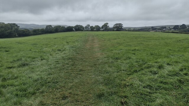
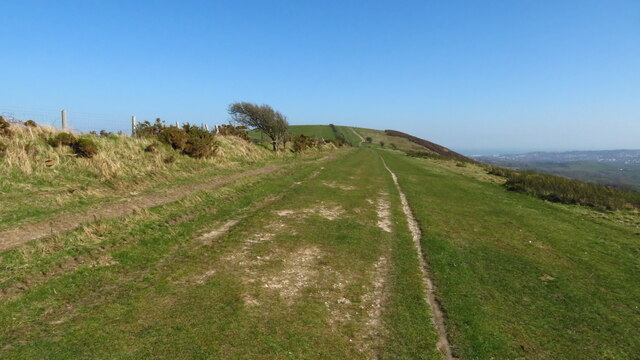
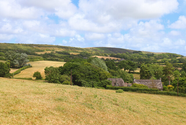
Harman's Copse is a picturesque woodland area located in the county of Dorset, England. Covering an approximate area of 50 acres, it is a captivating forest that offers a serene and tranquil environment for visitors to explore and enjoy.
The copse is predominantly made up of a variety of broadleaf trees, including oak, beech, and ash, which create a dense canopy overhead, providing shade on sunny days. The forest floor is carpeted with a rich layer of fallen leaves, adding to the natural beauty of the area.
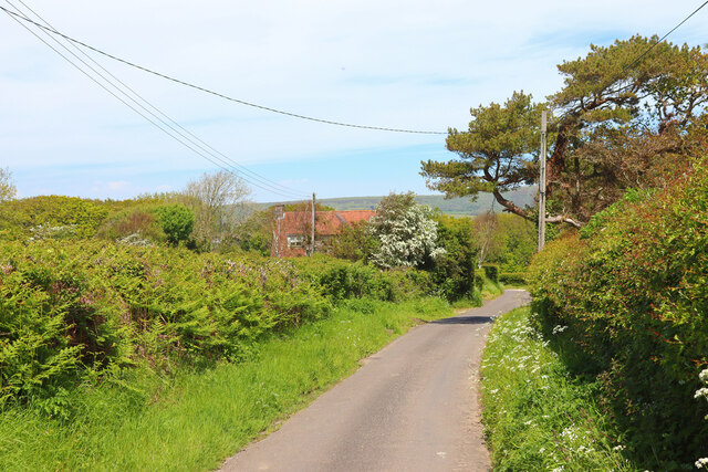
Walking through Harman's Copse, visitors will discover a network of well-maintained footpaths that wind their way through the woodland. These paths allow for a leisurely stroll, enabling visitors to appreciate the diverse flora and fauna that call the copse home. Birdsong can be heard throughout the forest, with a wide range of species, such as thrushes, woodpeckers, and finches, making their presence known.
The copse is also home to a variety of wildlife, including deer, foxes, and badgers. Visitors may be lucky enough to catch a glimpse of these elusive creatures as they go about their daily routines in their natural habitat.
Harman's Copse is a popular destination for nature lovers, hikers, and photographers, offering an abundance of opportunities to capture the beauty of the forest. With its peaceful atmosphere and stunning scenery, it is the perfect place to escape the hustle and bustle of everyday life and reconnect with nature.
If you have any feedback on the listing, please let us know in the comments section below.
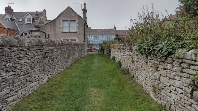
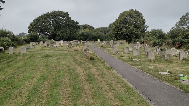
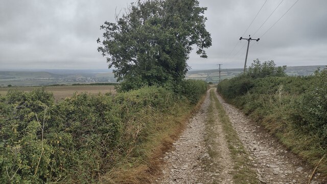
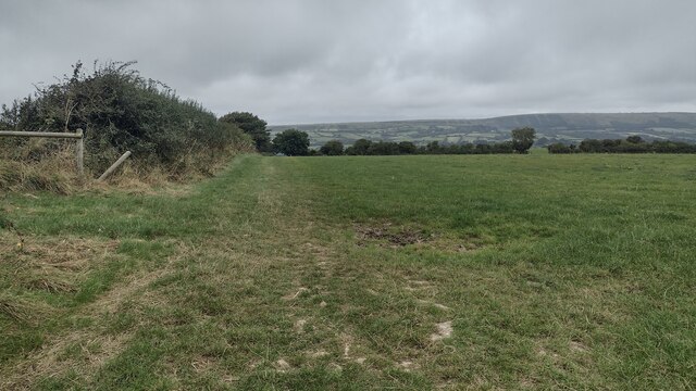
Harman's Copse Images
Images are sourced within 2km of 50.623023/-2.0212511 or Grid Reference SY9880. Thanks to Geograph Open Source API. All images are credited.
Harman's Copse is located at Grid Ref: SY9880 (Lat: 50.623023, Lng: -2.0212511)
Unitary Authority: Dorset
Police Authority: Dorset
What 3 Words
///leaky.dozed.elect. Near Corfe Castle, Dorset
Nearby Locations
Related Wikis

Harman's Cross
Harman's Cross is a small village on the Isle of Purbeck in Dorset, England. It is situated on the A351 road between Swanage and Corfe Castle. The village...

Woolgarston
Woolgarston is a village in Dorset, England. == External links == Media related to Woolgarston at Wikimedia Commons

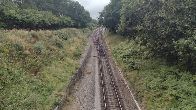
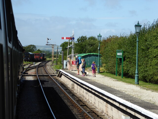
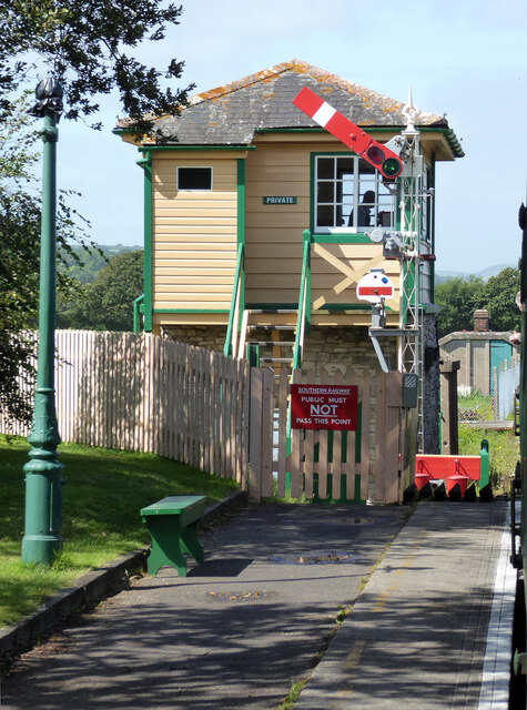
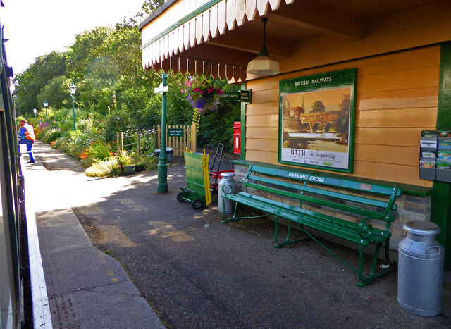
Harman's Cross railway station
Harman's Cross railway station is a railway station located in the village of Harman's Cross, on the Isle of Purbeck in the English county of Dorset. It...

Langton Matravers
Langton Matravers () is a village and civil parish on the Isle of Purbeck, in the county of Dorset in the south of England. It is situated about 2 miles...

Acton, Dorset
Acton is a hamlet in the parish of Langton Matravers, on the Isle of Purbeck, in the county of Dorset in the south of England. The hamlet of Acton was...

Rempstone Stone Circle
Rempstone Stone Circle (grid reference SY994820) is a stone circle located near to Corfe Castle on the Isle of Purbeck in the south-western English county...

The Old Malthouse School
The Old Malthouse School (The OMH) was a preparatory school in the village of Langton Matravers near Swanage in the Isle of Purbeck, Dorset, United Kingdom...
Durnford School
Durnford School was an English preparatory school for boys which opened in 1894 on the Isle of Purbeck in Dorset. The school occupied Durnford House, in...
Nearby Amenities
Located within 500m of 50.623023,-2.0212511Have you been to Harman's Copse?
Leave your review of Harman's Copse below (or comments, questions and feedback).