Stock Coppice
Wood, Forest in Dorset
England
Stock Coppice
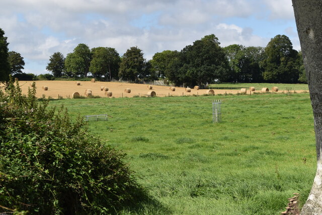
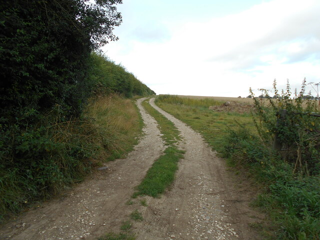
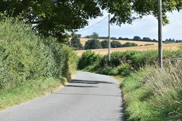
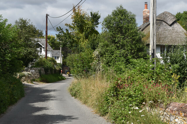
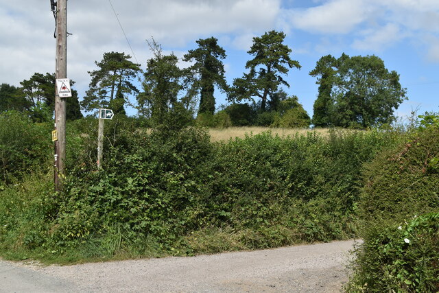
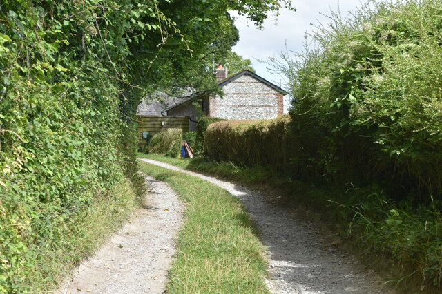
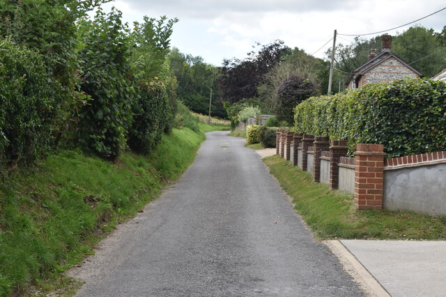
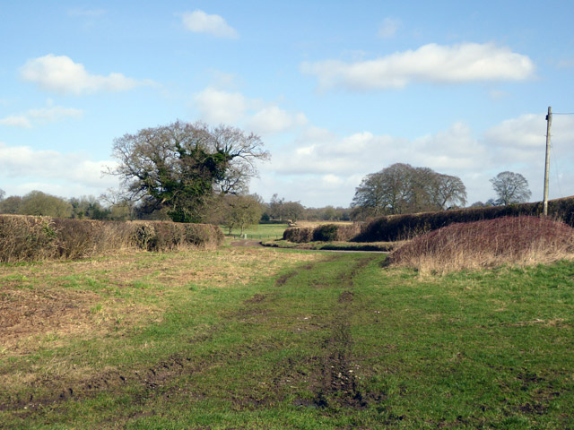
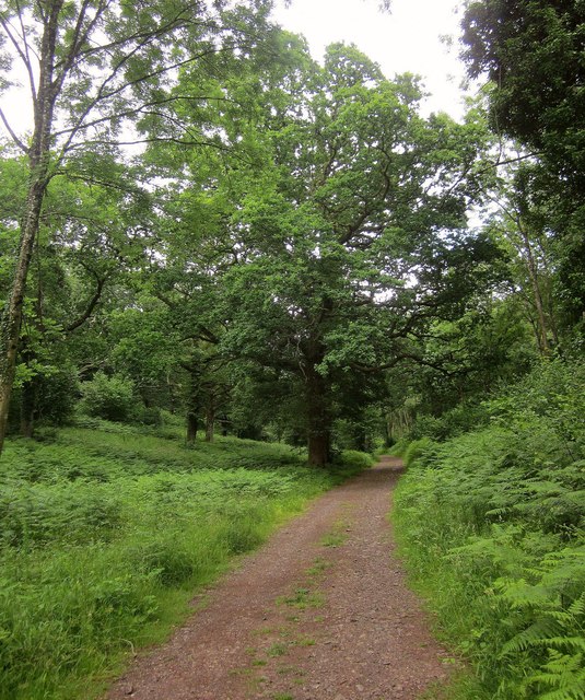
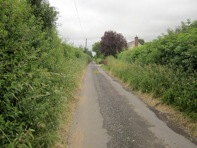
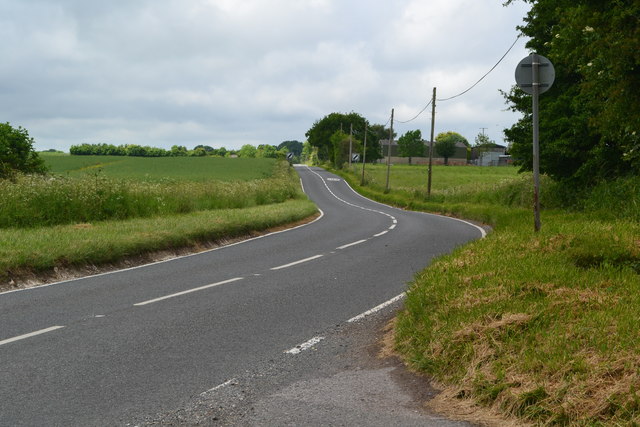
Stock Coppice is a woodland located in the county of Dorset, in the south-west of England. Encompassing an area of approximately 100 hectares, it is situated near the village of Stock Gaylard, within the Cranborne Chase Area of Outstanding Natural Beauty.
The coppice is characterized by its diverse range of trees and flora, creating a rich and vibrant ecosystem. The dominant tree species found here include oak, beech, and ash, which provide a dense canopy and create a shaded and tranquil atmosphere. The woodland floor is adorned with a variety of wildflowers, such as bluebells, primroses, and wood anemones, adding bursts of color to the landscape during the spring months.
Stock Coppice has a long history of traditional woodland management techniques, particularly coppicing. This practice involves periodically cutting back certain trees to ground level, allowing new shoots to grow and ensuring a continuous supply of timber. The coppiced trees were historically used for a range of purposes, including fuel, fencing, and building materials.
The woodland offers a haven for wildlife, providing habitats for a diverse range of species. Visitors to Stock Coppice may be lucky enough to spot a variety of birds, including woodpeckers, owls, and buzzards. The undergrowth and fallen trees also provide shelter for small mammals, such as badgers, foxes, and deer.
Stock Coppice offers a peaceful retreat for nature enthusiasts and outdoor enthusiasts alike. With its picturesque beauty and rich biodiversity, it provides a valuable resource for both local residents and visitors to Dorset.
If you have any feedback on the listing, please let us know in the comments section below.
Stock Coppice Images
Images are sourced within 2km of 50.952403/-2.0217018 or Grid Reference ST9816. Thanks to Geograph Open Source API. All images are credited.
Stock Coppice is located at Grid Ref: ST9816 (Lat: 50.952403, Lng: -2.0217018)
Unitary Authority: Dorset
Police Authority: Dorset
What 3 Words
///relatives.clubs.doped. Near Bower Chalke, Wiltshire
Nearby Locations
Related Wikis

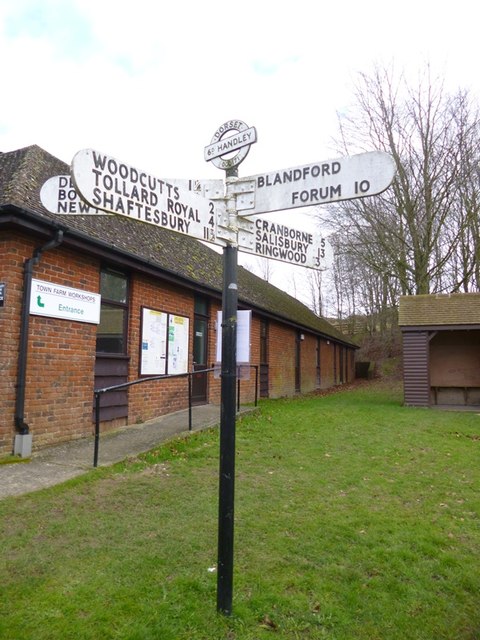
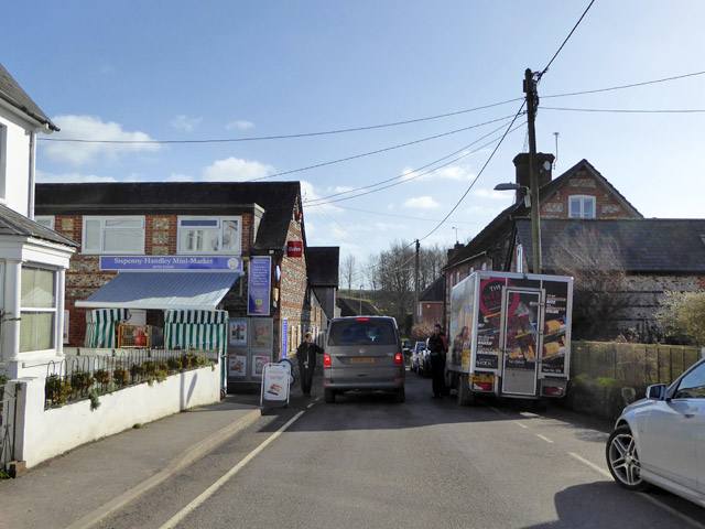
Sixpenny Handley
Sixpenny Handley or Handley is a village and former civil parish, now in the parish of Sixpenny Handley and Pentridge, in north east Dorset, England,...

Cranborne Chase and West Wiltshire Downs
Cranborne Chase and West Wiltshire Downs is an Area of Outstanding Natural Beauty (AONB) covering 379 square miles (980 km2) of Dorset, Hampshire, Somerset...

Sixpenny Handley Hundred
Sixpenny Handley Hundred was a hundred in the county of Dorset, England. It originally consisted of two distinct hundreds: Sexpena and Hanlega. Sometime...

Woodcutts
Woodcutts is a hamlet within the parish of Sixpenny Handley and is located in the north of Dorset, near to the Wiltshire border. Originally named "Woodcotes...

Cranborne Chase
Cranborne Chase (grid reference ST970180) is an area of central southern England, straddling the counties Dorset, Hampshire and Wiltshire. It is part of...

Woodcutts Settlement
Woodcutts Settlement is an archaeological site of the late Iron Age and Romano-British period on Cranborne Chase, England. It is situated about 1 mile...

Wor Barrow
Wor Barrow is a Neolithic long barrow on Cranborne Chase, about 1 mile (1.6 km) east of Sixpenny Handley in Dorset, England. It is a scheduled monument...

Garston Wood
Garston Wood is a 34-hectare (84-acre) woodland nature reserve on the border between Dorset and Wiltshire in England, around 3 km (2 mi) north of the village...
Nearby Amenities
Located within 500m of 50.952403,-2.0217018Have you been to Stock Coppice?
Leave your review of Stock Coppice below (or comments, questions and feedback).