Power's Wood

Wood, Forest in Gloucestershire Cotswold

England

Power's Wood

Standing on the line The Two Degrees West line at this point is rather uninspiring.  Looking towards Penhill Plantation which covers most of the western half of the square.
Standing on the line Credit: Graham Horn

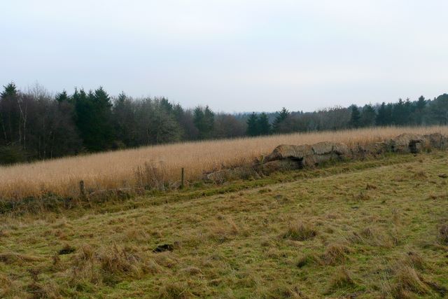
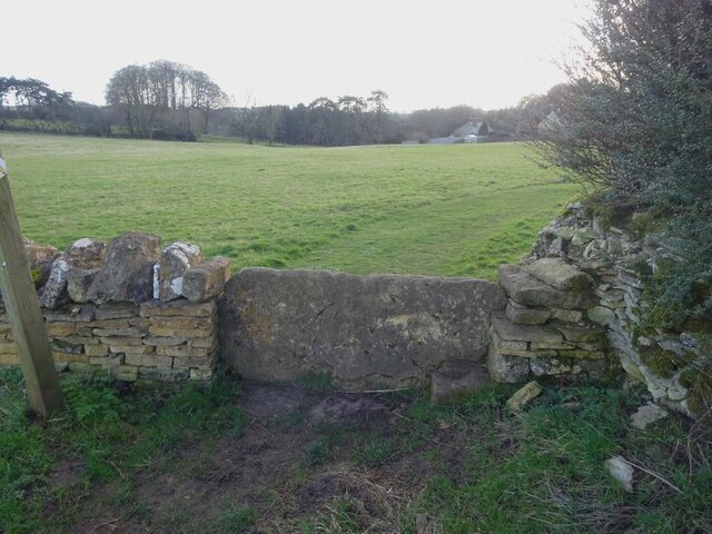
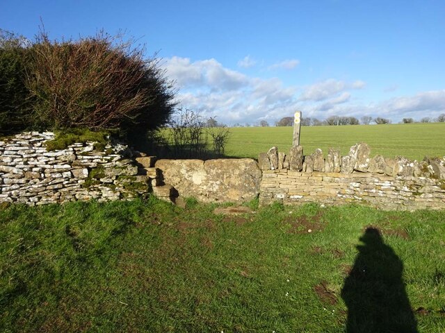
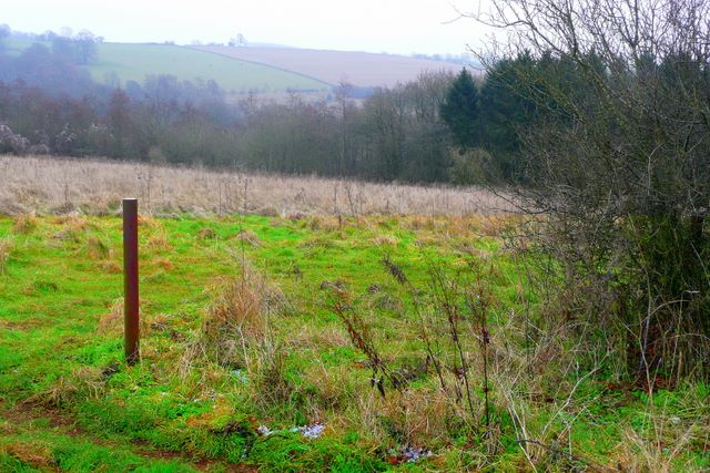
Power's Wood is a scenic woodland located in Gloucestershire, England. Situated in the Forest of Dean district, the wood is renowned for its natural beauty and diverse ecosystem. Covering an area of approximately 50 hectares, Power's Wood is predominantly composed of broadleaf trees such as oak, beech, and birch, which provide a rich habitat for a variety of wildlife.

The wood is a popular destination for nature lovers and outdoor enthusiasts, offering a tranquil environment for walking, hiking, and birdwatching. The network of well-maintained trails allows visitors to explore the wood at their own pace and discover its hidden gems. Along the way, one may encounter a range of bird species including woodpeckers, jays, and tawny owls.

Power's Wood also boasts a diverse undergrowth, characterized by an array of wildflowers, ferns, and mosses. This lush underbrush attracts a multitude of insects, making it an ideal habitat for butterflies and bees. The wood's rich biodiversity is further enhanced by the presence of small mammals such as squirrels, foxes, and badgers.

Adding to its natural beauty, Power's Wood is intersected by a babbling stream, which meanders through the woodland, providing a serene atmosphere and enhancing the overall charm of the area. This stream, along with several small ponds, supports a variety of aquatic life, including frogs, newts, and dragonflies.

In conclusion, Power's Wood in Gloucestershire is a picturesque woodland that offers visitors a chance to immerse themselves in nature. With its diverse flora and fauna, well-marked trails, and peaceful ambiance, it is an ideal destination for those seeking a peaceful retreat or a chance to explore the wonders of the forest.

If you have any feedback on the listing, please let us know in the comments section below.
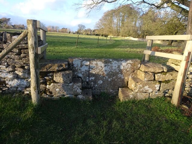
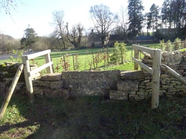
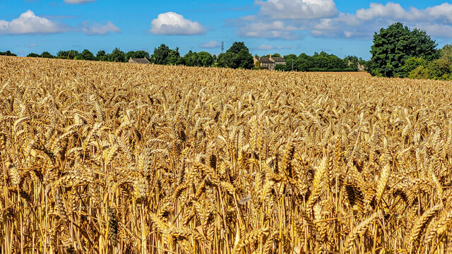
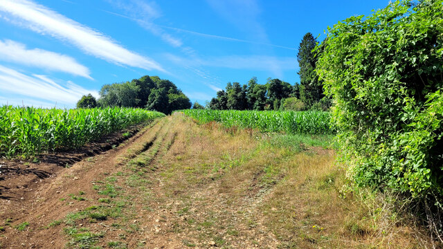
Power's Wood Images

Images are sourced within 2km of 51.801844/-2.0233594 or Grid Reference SO9811. Thanks to Geograph Open Source API. All images are credited.

Standing on the line The Two Degrees West line at this point is rather uninspiring.  Looking towards Penhill Plantation which covers most of the western half of the square.
Standing on the line
The Two Degrees West line at this point is rather uninspiring. Looking towards Penhill Plantation which covers most of the western half of the square.
Road through Aycote wood
Salisbury Plain Wood.
Aycote Wood
Aycote Wood
Old Milestone, A417, Fosse Lodge Metal plate detached from post by the A417, in parish of WINSTONE (COTSWOLD District), Fosse Lodge, Beechpike, by the old road. Cirencester iron plate, erected by the Cirencester to Birdlip turnpike trust in the 19th century.

Inscription reads: CIRENᴿ / 6 / GLOSTER / 11

Grade II Listed. Entry Number: 1341803 <span class="nowrap"><a title="https://historicengland.org.uk/listing/the-list/list-entry/1341803" rel="nofollow ugc noopener" href="https://historicengland.org.uk/listing/the-list/list-entry/1341803">Link</a><img style="margin-left:2px;" alt="External link" title="External link - shift click to open in new window" src="https://s1.geograph.org.uk/img/external.png" width="10" height="10"/></span>

Milestone Society National ID: GL_LG96
Old Milestone, A417, Fosse Lodge
Metal plate detached from post by the A417, in parish of WINSTONE (COTSWOLD District), Fosse Lodge, Beechpike, by the old road. Cirencester iron plate, erected by the Cirencester to Birdlip turnpike trust in the 19th century. Inscription reads: CIRENᴿ / 6 / GLOSTER / 11 Grade II Listed. Entry Number: 1341803 LinkExternal link Milestone Society National ID: GL_LG96
Stone Stile, Elkstone On Gloucestershire footpaths BEL16 & BEL18 immediately East of a cottage called Ward Hay. This is the view looking South, the view North is <a href="https://www.geograph.org.uk/photo/7104821">SO9712 : Stone Stile, Elkstone</a>.
Stone Stile, Elkstone
On Gloucestershire footpaths BEL16 & BEL18 immediately East of a cottage called Ward Hay. This is the view looking South, the view North is SO9712 : Stone Stile, Elkstone.
Stone Stile, Elkstone On Gloucestershire footpaths BEL16 & BEL18 immediately East of a cottage called Ward Hay. This is the view looking North, the view South is <a href="https://www.geograph.org.uk/photo/7104819">SO9712 : Stone Stile, Elkstone</a>.
Stone Stile, Elkstone
On Gloucestershire footpaths BEL16 & BEL18 immediately East of a cottage called Ward Hay. This is the view looking North, the view South is SO9712 : Stone Stile, Elkstone.
Stone Stile, Elkstone On Gloucestershire footpath BEL11 going North from St John's Church. The view looking South is <a href="https://www.geograph.org.uk/photo/7104837">SO9612 : Stone Stile, Elkstone</a>.
Stone Stile, Elkstone
On Gloucestershire footpath BEL11 going North from St John's Church. The view looking South is SO9612 : Stone Stile, Elkstone.
Stone Stile, Elkstone On Gloucestershire footpath BEL11 going South towards St John's Church. The view looking North is <a href="https://www.geograph.org.uk/photo/7104836">SO9612 : Stone Stile, Elkstone</a>.
Stone Stile, Elkstone
On Gloucestershire footpath BEL11 going South towards St John's Church. The view looking North is SO9612 : Stone Stile, Elkstone.
Ripe wheat crop Looking westwards towards the houses beside the A417, Ermin Way.
The Winstone radio mast can be seen centre distance.
Ripe wheat crop
Looking westwards towards the houses beside the A417, Ermin Way. The Winstone radio mast can be seen centre distance.
Harvested field The distinctive smooth outlines of the slopes above a dry valley are enhanced by the windbreak.
Harvested field
The distinctive smooth outlines of the slopes above a dry valley are enhanced by the windbreak.
Line of a byway This hardly-used right of way cuts through arable land with a maize crop in the summer of 2022.
Line of a byway
This hardly-used right of way cuts through arable land with a maize crop in the summer of 2022.
Road towards Elkstone From the A417.
Road towards Elkstone
From the A417.
Approaching entrance to Rapsgate Park
A mossy barn This small field shelter is tucked under mature beech trees and clearly doesn't get a great deal of sunlight if the thick growth of moss on the roof is anything to go by
A mossy barn
This small field shelter is tucked under mature beech trees and clearly doesn't get a great deal of sunlight if the thick growth of moss on the roof is anything to go by
In Cotswold Park The small brick building now apparently disused is likely to be connected with an underground reservoir behind the mound. This would doubtless have once provided Cotswold Park House with a reliable water supply before a mains supply was laid.
In Cotswold Park
The small brick building now apparently disused is likely to be connected with an underground reservoir behind the mound. This would doubtless have once provided Cotswold Park House with a reliable water supply before a mains supply was laid.
Selscomb Wood From the track past Cotswold Farm, in the north-west corner of the square, looking east towards Selscombe Wood.
Selscomb Wood
From the track past Cotswold Farm, in the north-west corner of the square, looking east towards Selscombe Wood.
Reservoir Cot Abbey
Reservoir Cot Abbey
Show me another place!

Power's Wood is located at Grid Ref: SO9811 (Lat: 51.801844, Lng: -2.0233594)

Administrative County: Gloucestershire

District: Cotswold

Police Authority: Gloucestershire

What 3 Words

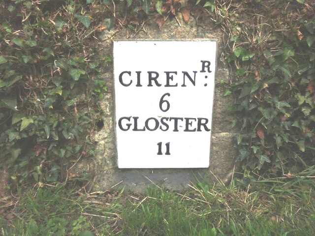
///amaze.mallets.array. Near Stratton, Gloucestershire

Related Wikis

Cotswolds

The Cotswolds ( KOTS-wohldz, KOTS-wəldz) is a region of central South West England, along a range of rolling hills that rise from the meadows of the upper...

Cotswold Hills Geopark

A swathe of the Cotswold Hills almost 60 miles long has been proposed as the Cotswold Hills Geopark. The Geopark project offers educational resources on...

Elkstone

Elkstone is a village and civil parish in the English county of Gloucestershire. In the 2001 United Kingdom census, the parish had a population of 203...

Church of St John the Evangelist, Elkstone

The Anglican Church of St John the Evangelist at Elkstone in the Cotswold District of Gloucestershire, England was built in the 12th century. It is a grade...

Nearby Amenities

Located within 500m of 51.801844,-2.0233594
The data included in this document is from www.openstreetmap.org. The data is made available under ODbL.

Have you been to Power's Wood?

Leave your review of Power's Wood below (or comments, questions and feedback).