Square Wood

Wood, Forest in Northumberland

England

Square Wood

Car park near Hepplewoodside Bridge
Car park near Hepplewoodside Bridge Credit: Gordon Brown

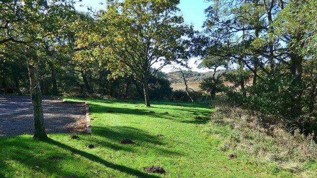
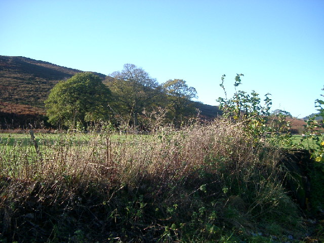
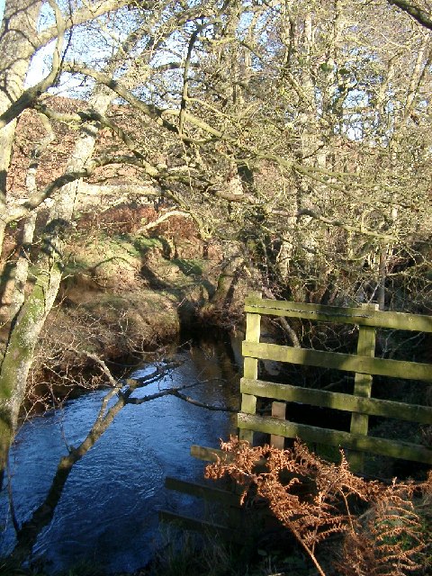
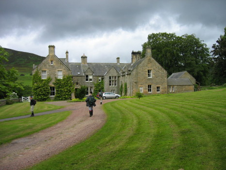
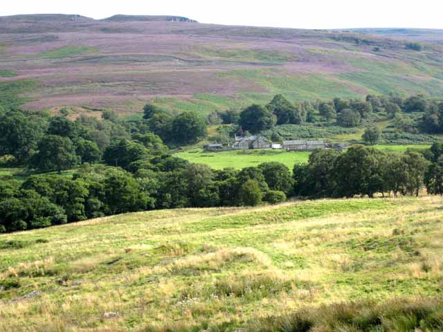
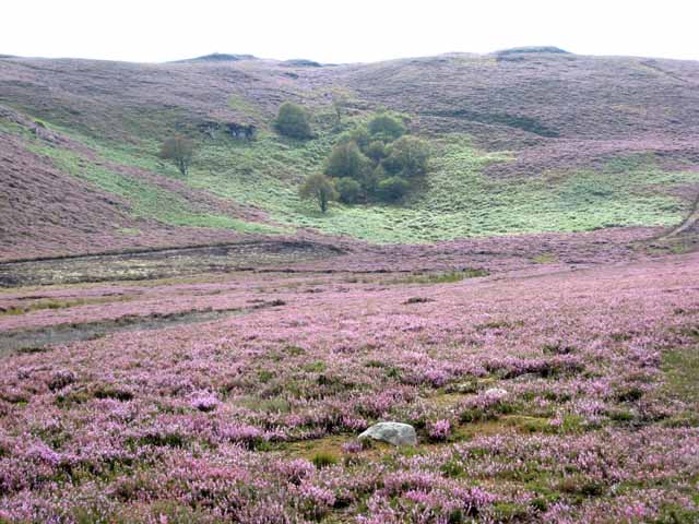
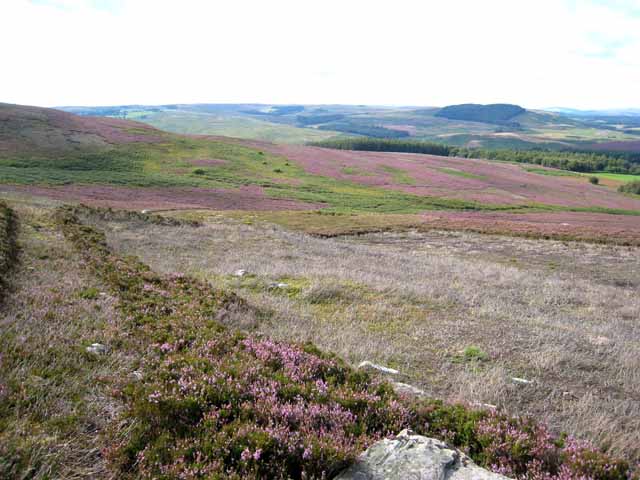
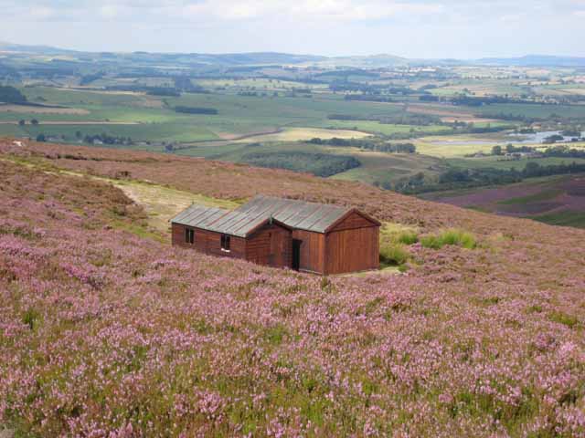
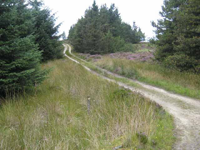
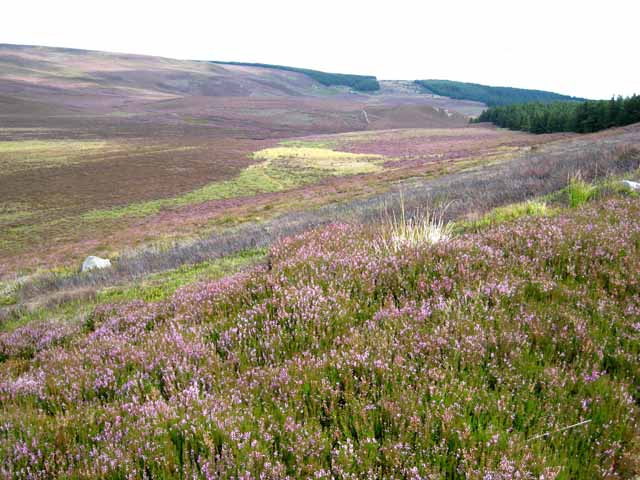
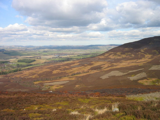
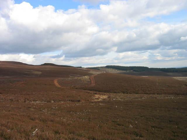
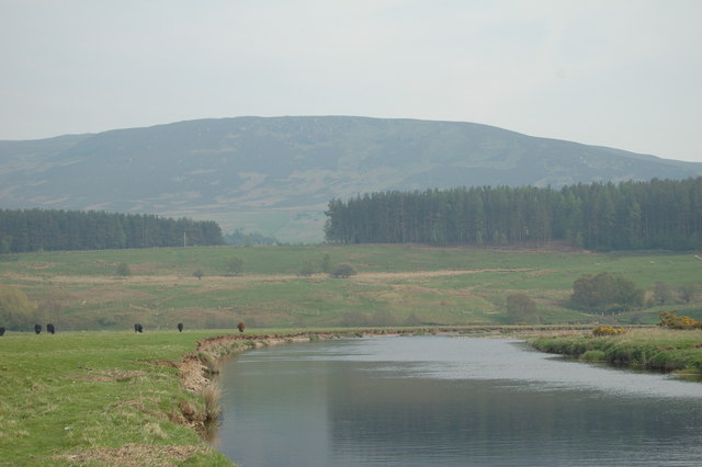
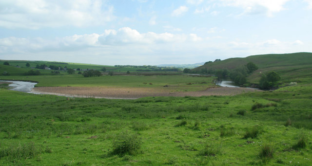
Square Wood is a picturesque forest located in the county of Northumberland, England. Covering an area of approximately 100 acres, this woodland is a haven for nature enthusiasts and outdoor adventurers alike. The forest is known for its dense tree cover, primarily consisting of native species such as oak, beech, and birch.

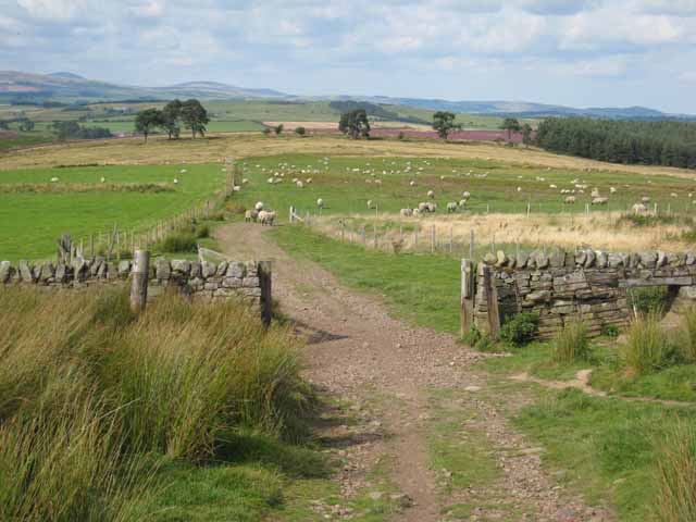
The wood is easily accessible, situated just a short distance from the village of Wood. It features well-maintained walking trails that wind their way through the trees, offering visitors the opportunity to immerse themselves in the tranquil surroundings. These trails vary in difficulty, catering to both casual strollers and more experienced hikers.

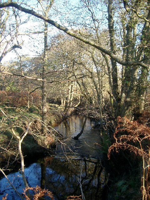
Wildlife is abundant in Square Wood, providing a rich and diverse ecosystem. Visitors may encounter various species of birds, including woodpeckers and owls, as well as small mammals like squirrels and rabbits. The forest is also home to a variety of insects, adding to the overall biodiversity of the area.

For those interested in history, Square Wood has its own tales to tell. It is believed that the woodland has been present for centuries, with some parts potentially dating back to medieval times. This sense of history is palpable as visitors explore the ancient trees and stumble upon remnants of past human activity, such as old stone walls or abandoned structures.

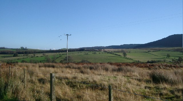
Square Wood is a true gem in Northumberland, offering a peaceful retreat from the hustle and bustle of everyday life. Whether one seeks solitude, a scenic walk, or a chance to connect with nature, this forest provides an idyllic setting for all to enjoy.

If you have any feedback on the listing, please let us know in the comments section below.

Square Wood Images

Images are sourced within 2km of 55.281603/-2.0262301 or Grid Reference NY9898. Thanks to Geograph Open Source API. All images are credited.

Car park near Hepplewoodside Bridge
Near Hepple, under Swindon Hill On the other side of the River Coquet from Hepple.
Near Hepple, under Swindon Hill
On the other side of the River Coquet from Hepple.
Top of Bickerton Knowe with fields beyond The road runs through the corner of this square, and the foreground is the square.
Top of Bickerton Knowe with fields beyond
The road runs through the corner of this square, and the foreground is the square.
Stream near picnic area under Harehaugh Hill Taken down the stream at the picnic area. Stream runs into the River Coquet.
Stream near picnic area under Harehaugh Hill
Taken down the stream at the picnic area. Stream runs into the River Coquet.
Grasslees Burn near picnic area under Harehaugh Hill Taken downstream of the picnic area, towards the River Coquet.
Grasslees Burn near picnic area under Harehaugh Hill
Taken downstream of the picnic area, towards the River Coquet.
Hepple Whitefield A small country house built in the mid 19th century for Sir J W B Riddell. The house was altered in the 1890s, by J Hodgson Fowler, probably at the same time he rebuilt nearby Hepple Church in 1892.
Hepple Whitefield
A small country house built in the mid 19th century for Sir J W B Riddell. The house was altered in the 1890s, by J Hodgson Fowler, probably at the same time he rebuilt nearby Hepple Church in 1892.
Midgy Ha Farm in the valley of the Grasslees Burn The hill on the skyline is Whitefield Hill <a href="https://www.geograph.org.uk/gridref/NY9897">NY9897</a>.
Midgy Ha Farm in the valley of the Grasslees Burn
The hill on the skyline is Whitefield Hill NY9897.
Sandy Crags Heather moorland.
Sandy Crags
Heather moorland.
Moorland above Hepplewoodside Looking across the valley of the Grasslees Burn.
Moorland above Hepplewoodside
Looking across the valley of the Grasslees Burn.
Beehives at Swindon in the valley of the Grasslees Burn
Shooting cabins, Whitefield Hill One of the Northumberland grouse moors, with extensive views over lower Coquetdale.
Shooting cabins, Whitefield Hill
One of the Northumberland grouse moors, with extensive views over lower Coquetdale.
Fields above Hepple Whitefield On the bridleway down from the top of Harwood Forest to lower Coquetdale (in distance).
Fields above Hepple Whitefield
On the bridleway down from the top of Harwood Forest to lower Coquetdale (in distance).
Forest road, Harwood Forest Harwood Forest is a coniferous forest first established in the 1950s. This road has the status of a public bridleway and leads to the northern edge of the forest seen on the skyline before dropping down to Hepple in Coquetdale.
Forest road, Harwood Forest
Harwood Forest is a coniferous forest first established in the 1950s. This road has the status of a public bridleway and leads to the northern edge of the forest seen on the skyline before dropping down to Hepple in Coquetdale.
Boddle Moss The valley of the Chartner Burn. On the far side of the valley are Tosson Hill <a href="https://www.geograph.org.uk/gridref/NZ0098">NZ0098</a> to the left and Ravens Heugh <a href="https://www.geograph.org.uk/gridref/NZ0198">NZ0198</a> to the right. The edge of Harwood Forest runs along the right hand side of the photograph.
Boddle Moss
The valley of the Chartner Burn. On the far side of the valley are Tosson Hill NZ0098 to the left and Ravens Heugh NZ0198 to the right. The edge of Harwood Forest runs along the right hand side of the photograph.
Whitefield Shank
Whitefield Shank
Boddle Moss
Boddle Moss
River Coquet, near Hepple, and view of the Northumbrian hills
River Coquet The River Coquet near Hepple.
River Coquet
The River Coquet near Hepple.
Show me another place!

Square Wood is located at Grid Ref: NY9898 (Lat: 55.281603, Lng: -2.0262301)

Unitary Authority: Northumberland

Police Authority: Northumbria

What 3 Words

///wagers.ribcage.estate. Near Rothbury, Northumberland

Nearby Locations

Dipper Wood Square Wood

Related Wikis

Reivers Way

The Reivers Way is a long-distance footpath in Northumberland, passing through the Northumberland National Park and the Cheviot Hills. Totalling 242 kilometres...

Hepple

Hepple is a small village and parish in rural Northumberland, 4 miles (6.4 km) west of Rothbury, which provides most of its local services. It is on the...

Tosson Hill

Tosson Hill is the highest hill in the Simonside Hills to the south of Rothbury in Northumberland, England. The summit lies about 2 kilometres (1.2 mi...

High Cove

High Cove is a major slip feature to the west of Grasslees Burn in the Simonside Hills, Northumberland, England. It contains several small rifts and caves...

Nearby Amenities

Located within 500m of 55.281603,-2.0262301
The data included in this document is from www.openstreetmap.org. The data is made available under ODbL.

Have you been to Square Wood?

Leave your review of Square Wood below (or comments, questions and feedback).