Swinden End Plantation
Wood, Forest in Yorkshire Craven
England
Swinden End Plantation
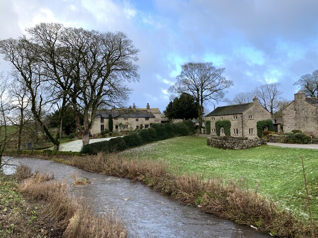
Swinden End Plantation is a picturesque woodland area located in Yorkshire, England. It is situated near the village of Swinden, hence the name. The plantation covers a vast area of approximately 100 hectares and is a popular destination for nature enthusiasts and hikers alike.
The woodland consists primarily of deciduous trees, such as oak, beech, and birch, which provide a rich and diverse habitat for a variety of flora and fauna. The forest floor is covered with an array of wildflowers, mosses, and ferns, creating a vibrant and enchanting atmosphere.
The plantation is crisscrossed with a network of well-maintained footpaths, allowing visitors to explore the area at their own pace. These paths lead to hidden glades, tranquil ponds, and breathtaking viewpoints, providing visitors with ample opportunities to immerse themselves in the natural beauty of the surroundings.
One of the notable features of Swinden End Plantation is the abundance of wildlife it supports. The woodland is home to a diverse range of bird species, including woodpeckers, owls, and various songbirds. Squirrels, rabbits, and deer can also be spotted roaming freely in the area.
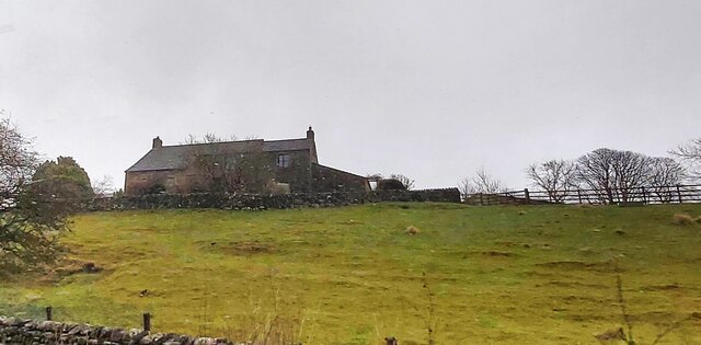
For those interested in history, Swinden End Plantation holds significance as it was once part of a larger estate dating back to the 19th century. Today, remnants of old stone walls and foundations can still be found, adding an element of historical charm to the woodland.
Overall, Swinden End Plantation is a captivating woodland retreat that offers visitors a tranquil and immersive experience in the heart of Yorkshire's natural beauty.
If you have any feedback on the listing, please let us know in the comments section below.
Swinden End Plantation Images
Images are sourced within 2km of 54.052705/-2.0254575 or Grid Reference SD9861. Thanks to Geograph Open Source API. All images are credited.
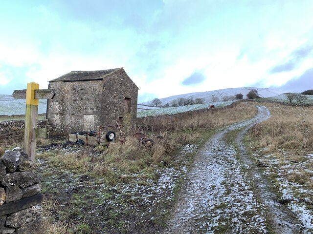
![Swinden Quarry [1] The quarry sign.
The quarry is 2 miles south of Grassington and supplies limestone. The quarry is served by the former Skipton to Grassington railway, which now terminates here.](https://s3.geograph.org.uk/geophotos/07/03/90/7039039_ccbc39e4.jpg)
![Swinden Quarry [2] The roadway into the quarry.
The quarry is 2 miles south of Grassington and supplies limestone. The quarry is served by the former Skipton to Grassington railway, which now terminates here.](https://s1.geograph.org.uk/geophotos/07/03/90/7039041_721689be.jpg)
![Swinden Quarry [3] Railway wagons at the end of the line.
The quarry is 2 miles south of Grassington and supplies limestone. The quarry is served by the former Skipton to Grassington railway, which now terminates here.](https://s3.geograph.org.uk/geophotos/07/03/90/7039043_e3fe59df.jpg)
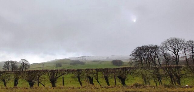
![Swinden Quarry [4] This fine view of Elbolton Hill is seen by those departing the quarry.
The quarry is 2 miles south of Grassington and supplies limestone. The quarry is served by the former Skipton to Grassington railway, which now terminates here.](https://s0.geograph.org.uk/geophotos/07/03/90/7039044_ac75fd8d.jpg)

Swinden End Plantation is located at Grid Ref: SD9861 (Lat: 54.052705, Lng: -2.0254575)
Division: West Riding
Administrative County: North Yorkshire
District: Craven
Police Authority: North Yorkshire
What 3 Words
///legwork.wants.worms. Near Grassington, North Yorkshire
Nearby Locations
Related Wikis

Swinden Quarry
Swinden Quarry is 0.62 miles (1 km) north of the village of Cracoe, and 1.9 miles (3 km) south-west of Grassington in North Yorkshire, England. It is owned...

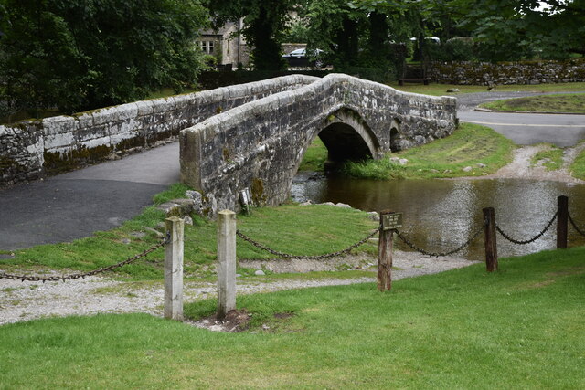
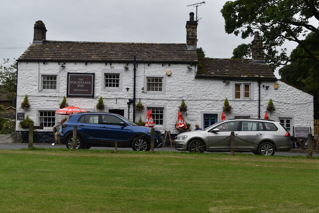
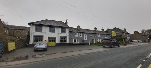
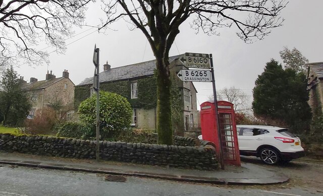
Linton, North Yorkshire
Linton is a village and civil parish in the Craven district of North Yorkshire, England. The population as of the 2011 census was 176. It lies not far...

Threshfield
Threshfield is a small village and civil parish in the Craven district of North Yorkshire, England with a population of 980 residents, reducing to 968...

Linton Falls Hydro
Linton Falls Hydro is a hydroelectric generating power station located on the Linton Falls Weir of the River Wharfe, near Grassington, North Yorkshire...
Nearby Amenities
Located within 500m of 54.052705,-2.0254575Have you been to Swinden End Plantation?
Leave your review of Swinden End Plantation below (or comments, questions and feedback).