Sunderland Pasture
Wood, Forest in Yorkshire
England
Sunderland Pasture

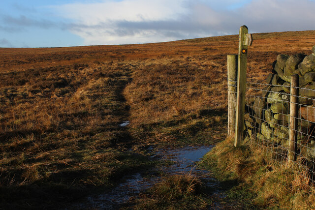
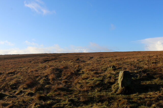
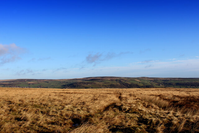
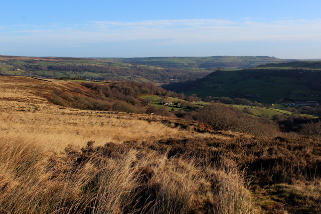
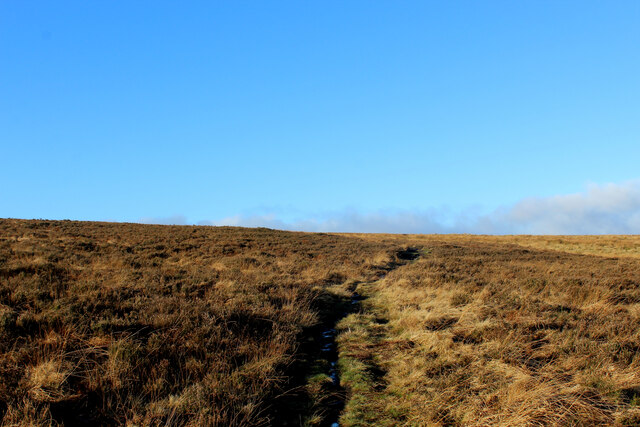
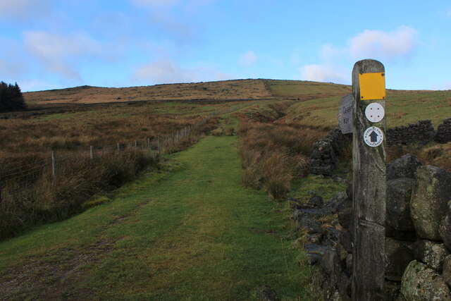
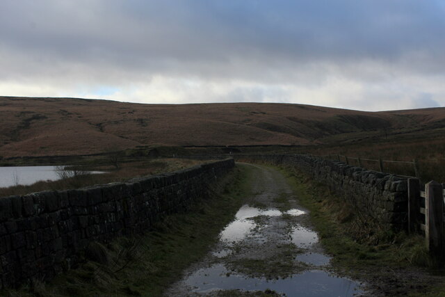
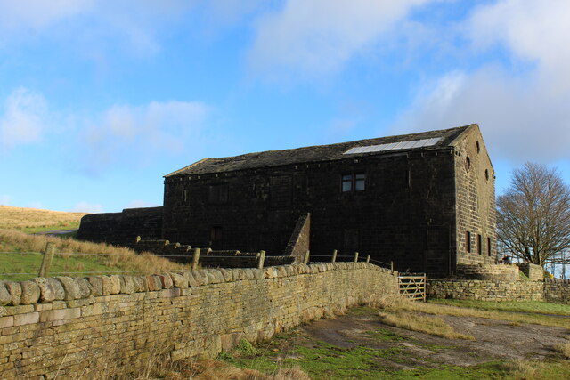
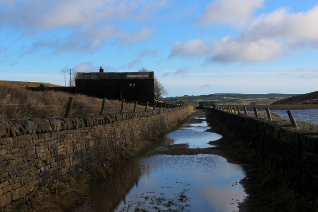
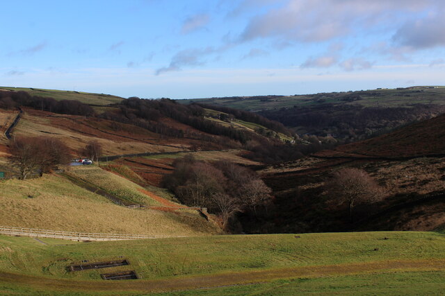
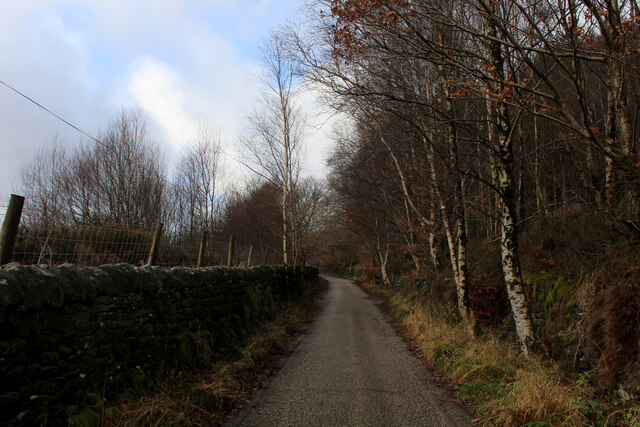
Sunderland Pasture is a picturesque woodland located in the county of Yorkshire, England. Nestled in the heart of the countryside, this expansive forest covers an area of approximately 50 hectares, making it a popular destination for outdoor enthusiasts and nature lovers.
The woodland is characterized by its rich biodiversity, featuring a diverse array of plant and animal species. Ancient oak trees dominate the landscape, their gnarled branches reaching towards the sky, providing a stunning canopy of shade during the summer months. Underneath this leafy umbrella, a vibrant undergrowth of ferns, wildflowers, and mosses creates a lush carpet of green.
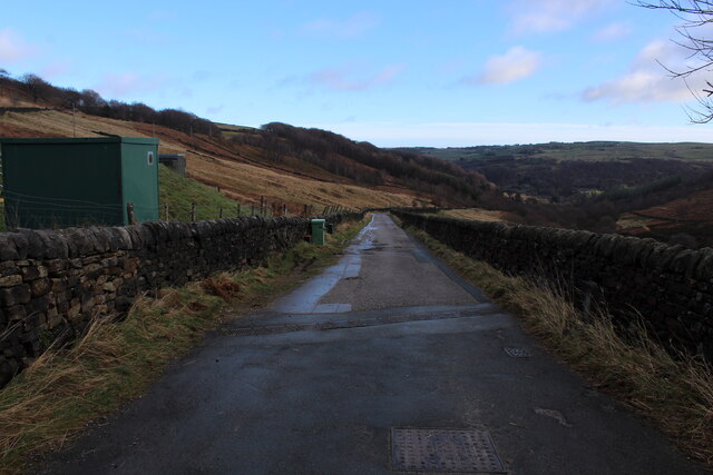
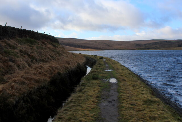
A network of well-maintained footpaths winds its way through Sunderland Pasture, offering visitors the opportunity to explore its natural wonders at their own pace. As one strolls along these paths, the gentle rustling of leaves and the occasional chirping of birds create a soothing symphony of sounds, providing a tranquil escape from the hustle and bustle of everyday life.
The woodland is also home to a variety of wildlife, including deer, squirrels, and numerous bird species. Birdwatchers will delight in spotting woodpeckers, owls, and various migratory birds that frequent the area throughout the year. In addition, the forest provides an important habitat for many rare and endangered species, contributing to the conservation efforts in the region.
Overall, Sunderland Pasture is a captivating woodland that offers visitors a chance to immerse themselves in the natural beauty of Yorkshire. Whether it's for a leisurely stroll, a bird-watching expedition, or simply to enjoy the peaceful ambiance, this forest is a true gem of the countryside.
If you have any feedback on the listing, please let us know in the comments section below.
Sunderland Pasture Images
Images are sourced within 2km of 53.712578/-2.0272798 or Grid Reference SD9824. Thanks to Geograph Open Source API. All images are credited.


Sunderland Pasture is located at Grid Ref: SD9824 (Lat: 53.712578, Lng: -2.0272798)
Division: West Riding
Unitary Authority: Calderdale
Police Authority: West Yorkshire
What 3 Words
///playroom.finally.voices. Near Hebden Bridge, West Yorkshire
Nearby Locations
Related Wikis

Stoodley Pike
Stoodley Pike is a 1,300-foot (400 m) hill in the south Pennines in West Yorkshire in northern England. It is noted for the 121-foot (37 m) Stoodley Pike...

Upper Calder Valley
The Upper Calder Valley lies in West Yorkshire, in northern England, and covers the towns of Todmorden, Hebden Bridge, Mytholmroyd, Luddendenfoot, and...

Eastwood, West Yorkshire
Eastwood is a place within the civil parish of Todmorden and Metropolitan Borough of Calderdale, in West Yorkshire, England. It lies 8 miles (12.9 km)...

Eastwood (L&Y) railway station
Eastwood Railway Station served the village of Eastwood in the civil parish of Todmorden, West Yorkshire, England. The station opened with the line on...

Erringden
Erringden is a civil parish in the Metropolitan Borough of Calderdale in West Yorkshire, England. Previously it was a township within the chapelry of Heptonstall...

Cragg Vale
Cragg Vale is a village in Calderdale, West Yorkshire, England, located south of Mytholmroyd on the B6138 road which joins the A58 and the A646. The village...

Mankinholes
Mankinholes is a hamlet in the Metropolitan Borough of Calderdale, in West Yorkshire, England. It is situated in the Pennines and the nearest town is Todmorden...
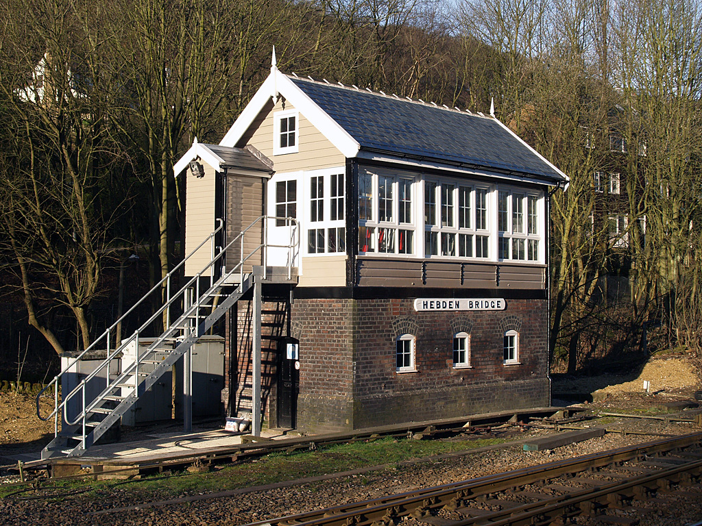
Hebden Bridge signal box
Hebden Bridge signal box is a Grade II listed former Lancashire and Yorkshire Railway signal box, located close to Hebden Bridge railway station in West...
Nearby Amenities
Located within 500m of 53.712578,-2.0272798Have you been to Sunderland Pasture?
Leave your review of Sunderland Pasture below (or comments, questions and feedback).