Flintmill Rough

Wood, Forest in Staffordshire Stafford

England

Flintmill Rough

Fradswell Village Hall This looks like a first or second world war army hut. Many of these huts were used for similar purposes when they were decommissioned after the wars.
Fradswell Village Hall Credit: Mick Malpass

Flintmill Rough is a wooded area located in Staffordshire, England. Situated near the town of Stafford, it forms part of the extensive Cannock Chase Forest. Covering an area of approximately 100 hectares, it is a popular destination for nature enthusiasts and outdoor adventurers.

The woodland is characterized by its mix of mature trees, including oak, birch, and pine, providing a diverse habitat for a wide range of flora and fauna. The forest floor is carpeted with an array of wildflowers, ferns, and mosses, creating a vibrant and picturesque landscape. In spring, the woods come alive with a burst of color as bluebells and wild garlic bloom.

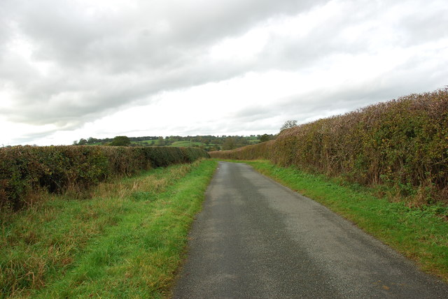
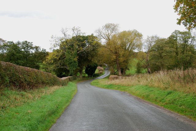
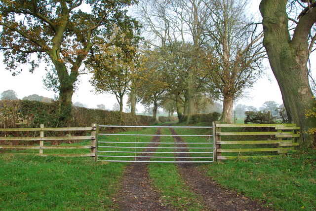
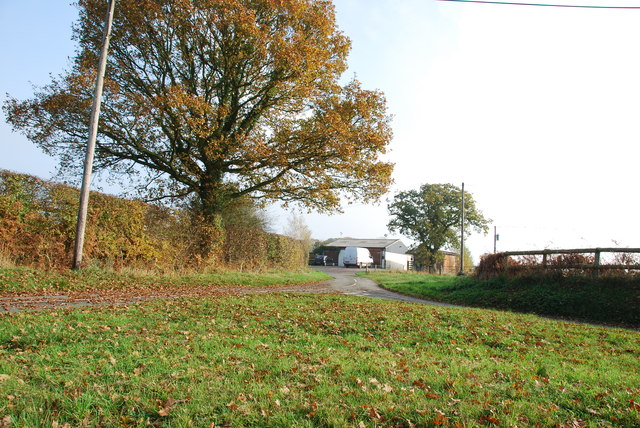
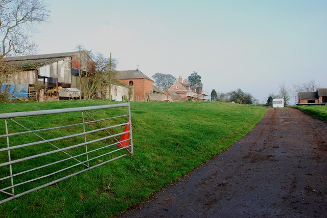
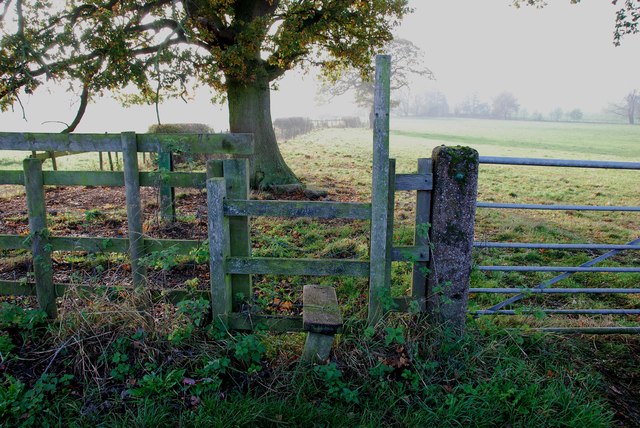
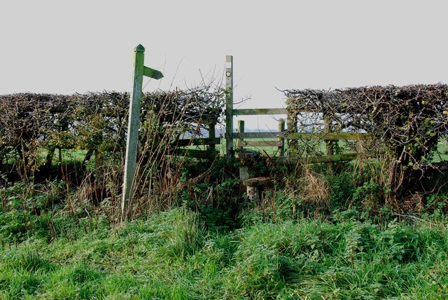
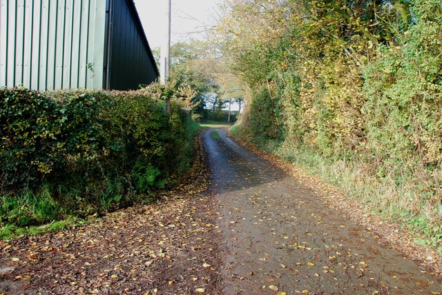
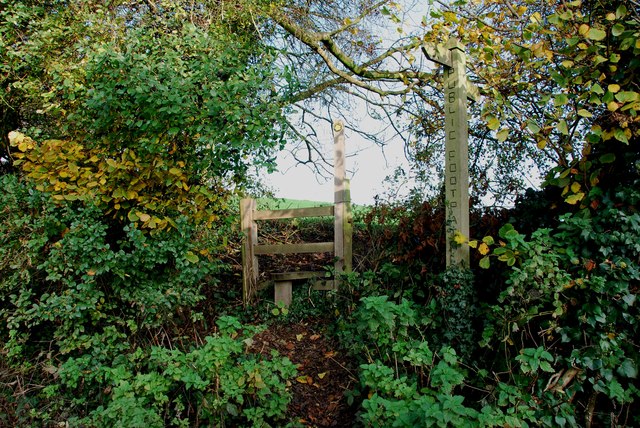
Flintmill Rough offers a variety of walking trails, allowing visitors to explore the area at their own pace. The paths wind through the woods, taking visitors past tranquil streams, hidden ponds, and ancient stone ruins. Nature lovers can spot various wildlife species, including deer, foxes, and a variety of birdlife, making it an ideal spot for birdwatching.

For those seeking more adventurous pursuits, the forest provides opportunities for mountain biking and horseback riding along designated trails. The undulating terrain and varied landscapes make it a thrilling experience for outdoor enthusiasts.

Overall, Flintmill Rough in Staffordshire offers visitors a chance to immerse themselves in the beauty of nature. With its diverse flora and fauna, picturesque trails, and recreational opportunities, it is a gem within the Cannock Chase Forest and a must-visit destination for nature lovers and outdoor enthusiasts.

If you have any feedback on the listing, please let us know in the comments section below.

Flintmill Rough Images

Images are sourced within 2km of 52.874479/-2.02789 or Grid Reference SJ9830. Thanks to Geograph Open Source API. All images are credited.

Fradswell Village Hall This looks like a first or second world war army hut. Many of these huts were used for similar purposes when they were decommissioned after the wars.
Fradswell Village Hall
This looks like a first or second world war army hut. Many of these huts were used for similar purposes when they were decommissioned after the wars.
The Old Rectory Fradswell The old rectory fradswell has now been turned into a home for the elderly.
The Old Rectory Fradswell
The old rectory fradswell has now been turned into a home for the elderly.
Road Junction to Fradswell Church
Impressive Entrance to Fradswell Hall Farm
The Road from Fradswell to Wallbrook road
Wallbrook  Road as it drops down to the Wall Brook Take a look at the hedges in this photo, they have been cut to perfection.
Wallbrook Road as it drops down to the Wall Brook
Take a look at the hedges in this photo, they have been cut to perfection.
Coton Green Farm, Coton The lovely red brick buildings on this farm look as if they have been converted to housing.
Coton Green Farm, Coton
The lovely red brick buildings on this farm look as if they have been converted to housing.
Burnt out remains of The Wheatsheaf at Coton
House on a Road Junction, Coton Hill The main road on the right is the B5027 Uttoxeter Road,the minor road to the left of the house goes to Stone Heath.
House on a Road Junction, Coton Hill
The main road on the right is the B5027 Uttoxeter Road,the minor road to the left of the house goes to Stone Heath.
Farm Track and Footpath This footpath crosses other footpaths on its way towards Fradswell, joining the Wallbrook road at the Hawkins lane junction.     <a title="https://www.geograph.org.uk/photo/2700053" href="https://www.geograph.org.uk/photo/2700053">Link</a>
Farm Track and Footpath
This footpath crosses other footpaths on its way towards Fradswell, joining the Wallbrook road at the Hawkins lane junction. Link
Stone Circles Challenge Footpath near the Gamkeepers cottage The Stone Circles Challenge joins twenty or more walks around the Stone area.   <span class="nowrap"><a title="http://www.bbc.co.uk/stoke/content/articles/2008/07/14/stone_circles_feature.shtml" rel="nofollow ugc noopener" href="http://www.bbc.co.uk/stoke/content/articles/2008/07/14/stone_circles_feature.shtml">Link</a><img style="margin-left:2px;" alt="External link" title="External link - shift click to open in new window" src="https://s1.geograph.org.uk/img/external.png" width="10" height="10"/></span>
Stone Circles Challenge Footpath near the Gamkeepers cottage
The Stone Circles Challenge joins twenty or more walks around the Stone area. LinkExternal link
Road Junction outside Yewtree Farm, Fradswell
The Doglands Farm  near Fradswell
The Doglands Farm near Fradswell
Footpath with Stile on the Wallbrook Road near Fradswell This Footpath leads to the Stone Circles Challenge Footpath.       <a title="https://www.geograph.org.uk/photo/2698679" href="https://www.geograph.org.uk/photo/2698679">Link</a>       <a title="https://www.geograph.org.uk/photo/2698694" href="https://www.geograph.org.uk/photo/2698694">Link</a>
Footpath with Stile on the Wallbrook Road near Fradswell
This Footpath leads to the Stone Circles Challenge Footpath. Link Link
Short Footpath at Coton This footpath only cuts the corner off the field.
Short Footpath at Coton
This footpath only cuts the corner off the field.
Farm Buildings on Mill Lane, Coton Looking up Mill Lane towards Coton, this is about as far as you can go down this lane without a 4x4.
Farm Buildings on Mill Lane, Coton
Looking up Mill Lane towards Coton, this is about as far as you can go down this lane without a 4x4.
Footpath on a bank in Mill Lane This footpath goes to join Wallbrook Road.
Footpath on a bank in Mill Lane
This footpath goes to join Wallbrook Road.
Access to Milwich Church
Show me another place!

Flintmill Rough is located at Grid Ref: SJ9830 (Lat: 52.874479, Lng: -2.02789)

Administrative County: Staffordshire

District: Stafford

Police Authority: Staffordshire

What 3 Words

///shepherdess.parked.fakes. Near Great Haywood, Staffordshire

Related Wikis

Fradswell

Fradswell is a village in Staffordshire, England, approximately 7 miles (10 km) north-east of the town of Stafford and 7 miles (11 km) north of Colwich...

Coton Hill, Staffordshire

Coton Hill is a hamlet in the English county of Staffordshire. Coton Hill is located east of the village of Milwich on the B5027 road between Stone and...

Milwich

Milwich is a village and a civil parish in the English county of Staffordshire. == Location == The village is 7.8 miles (12.6 km) north east of the town...

Gayton, Staffordshire

Gayton is a small rural village and civil parish in Staffordshire, located approximately 1 mile from the A51 between Stone and Stafford. In 2001 it had...
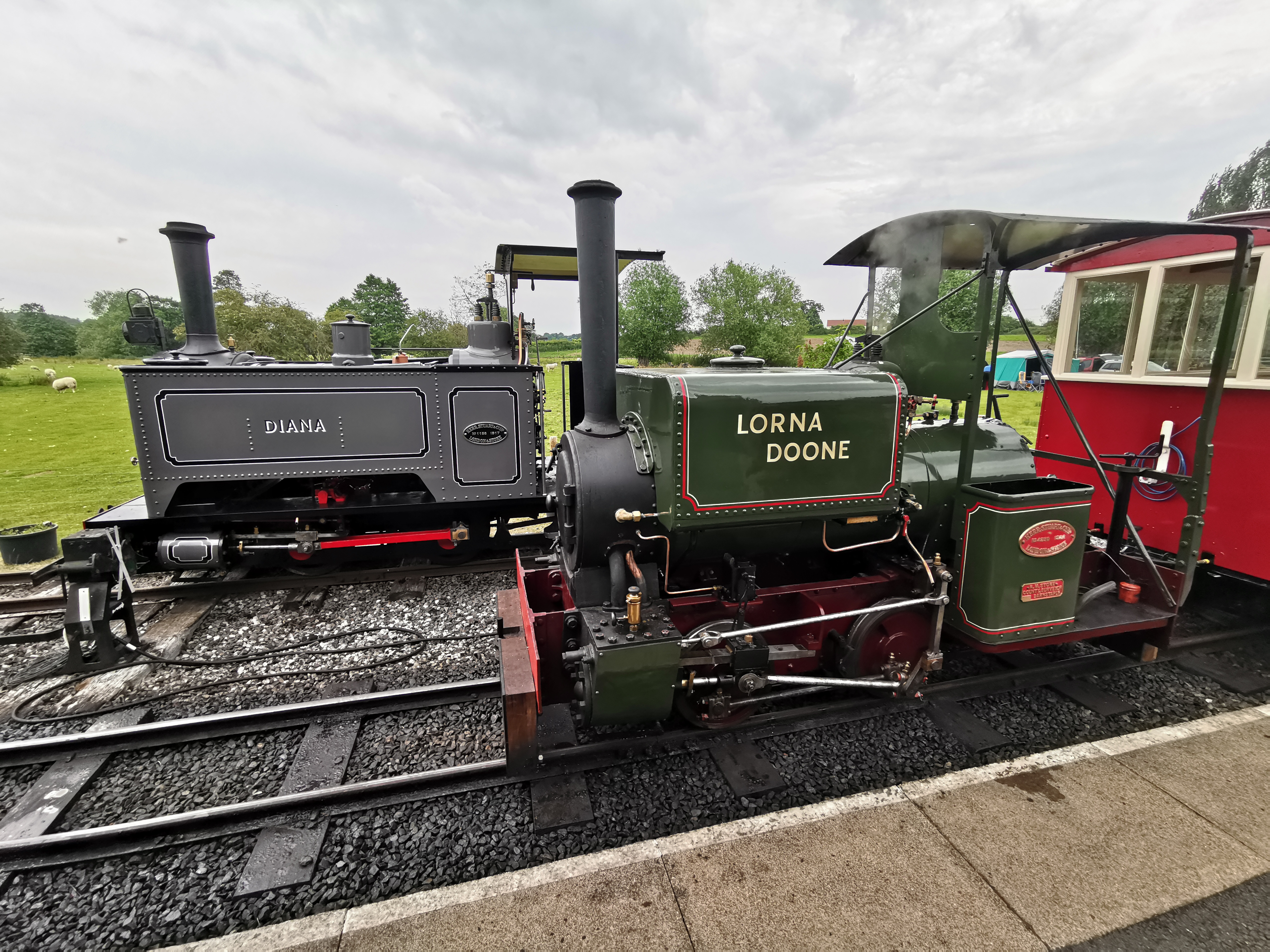
Amerton Railway

The Amerton Railway is a 2 ft (610 mm) narrow gauge heritage railway in the English county of Staffordshire. It is owned by Staffordshire Narrow Gauge...

Sandon Hall

Sandon Hall is a 19th-century country mansion, the seat of the Earl of Harrowby, at Sandon, Staffordshire, 5 miles (8.0 km) northeast of Stafford. It is...
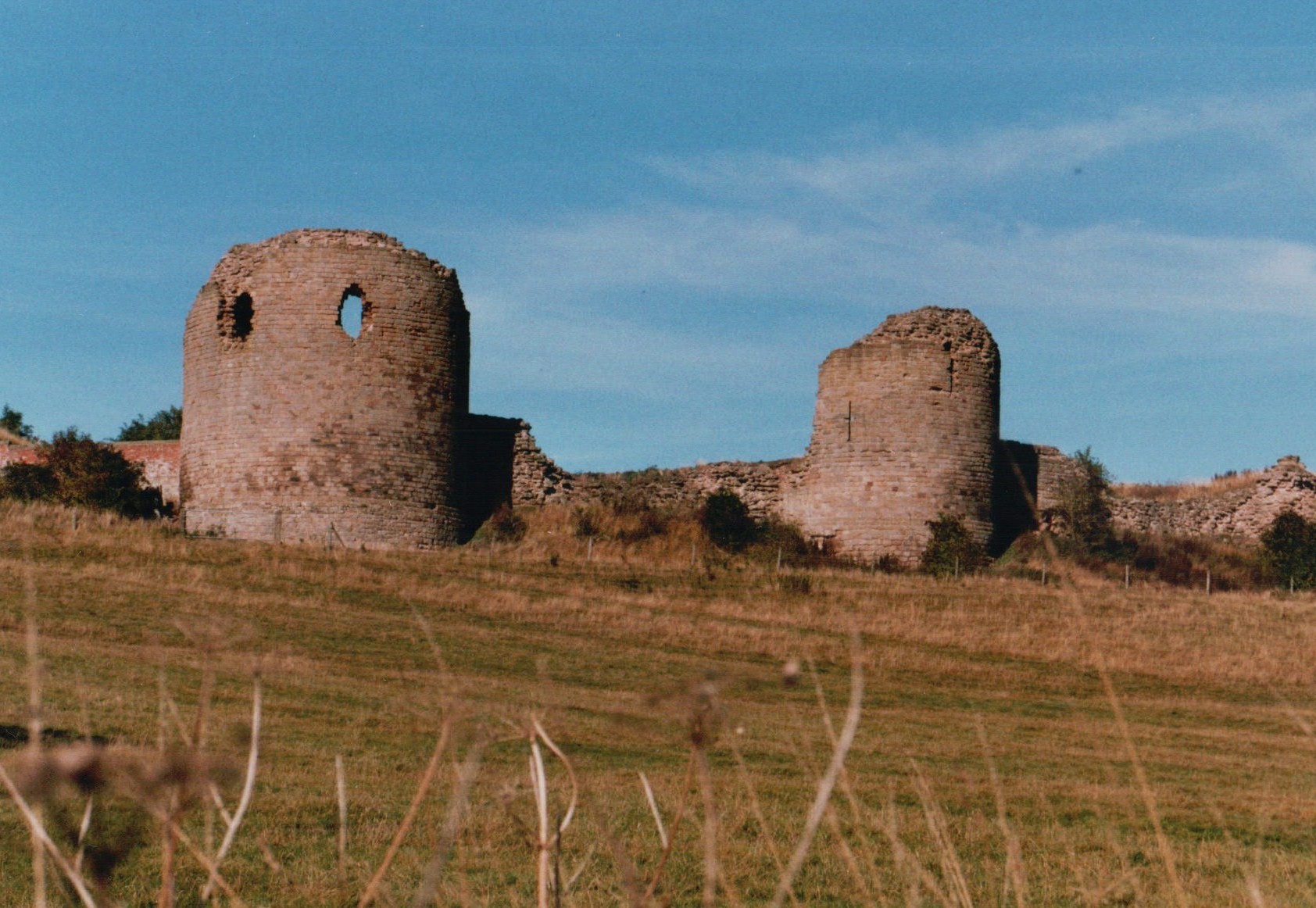
Chartley Castle

Chartley Castle lies in ruins to the north of the village of Stowe-by-Chartley in Staffordshire, between Stafford and Uttoxeter (grid reference SK010285...

Weston and Ingestre railway station

Weston and Ingestre railway station was a former British railway station opened by the North Staffordshire Railway to serve the village of Ingestre in...

Nearby Amenities

Located within 500m of 52.874479,-2.02789
Barrier: yes
Lat/Long: 52.8773569/-2.0236079
The data included in this document is from www.openstreetmap.org. The data is made available under ODbL.

Have you been to Flintmill Rough?

Leave your review of Flintmill Rough below (or comments, questions and feedback).