Flushing Covert
Wood, Forest in Staffordshire Stafford
England
Flushing Covert
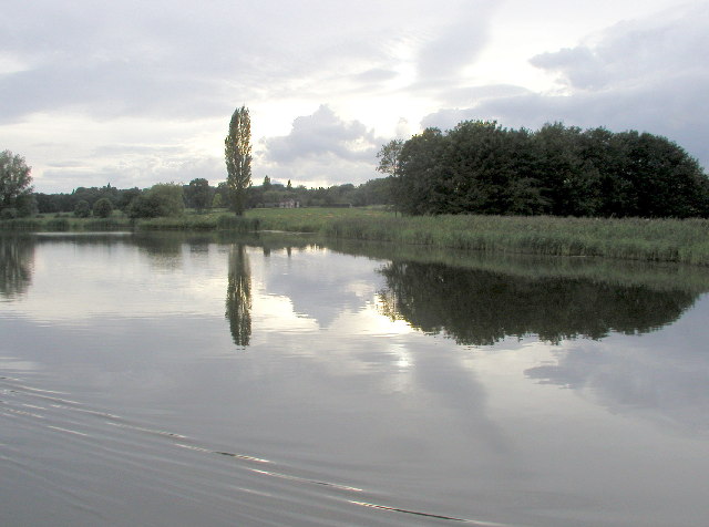
Flushing Covert is a picturesque woodland located in the county of Staffordshire, England. Situated in the heart of the Staffordshire Moorlands, this enchanting forest covers an area of approximately 200 acres. It is a popular destination for nature enthusiasts, walkers, and wildlife lovers.
The woodland is predominantly made up of native broadleaf trees, such as oak, birch, and beech, which create a dense canopy that provides shelter for a variety of flora and fauna. The forest floor is covered in a carpet of bluebells during the spring, creating a stunning and vibrant display.
Several well-marked trails wind their way through Flushing Covert, offering visitors the opportunity to explore the forest and marvel at its natural beauty. These paths cater to both casual strollers and more experienced hikers, ensuring that everyone can enjoy the tranquil surroundings.
Wildlife is abundant in Flushing Covert, with many species calling the woodland their home. Birdwatchers are particularly drawn to the area, as it is a prime spot for observing a range of avian species, including woodpeckers, nuthatches, and tawny owls. Squirrels scamper through the trees, while deer can occasionally be spotted grazing in the quieter corners of the wood.
Flushing Covert is well-maintained, with regular conservation efforts undertaken to preserve its natural habitat. The woodland is also home to a variety of rare and protected plant species, adding to its ecological significance.
Overall, Flushing Covert offers a peaceful and idyllic escape from the hustle and bustle of everyday life, providing visitors with the opportunity to immerse themselves in the beauty of nature.
If you have any feedback on the listing, please let us know in the comments section below.
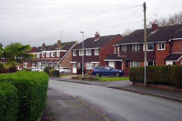
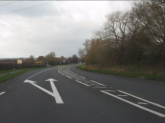
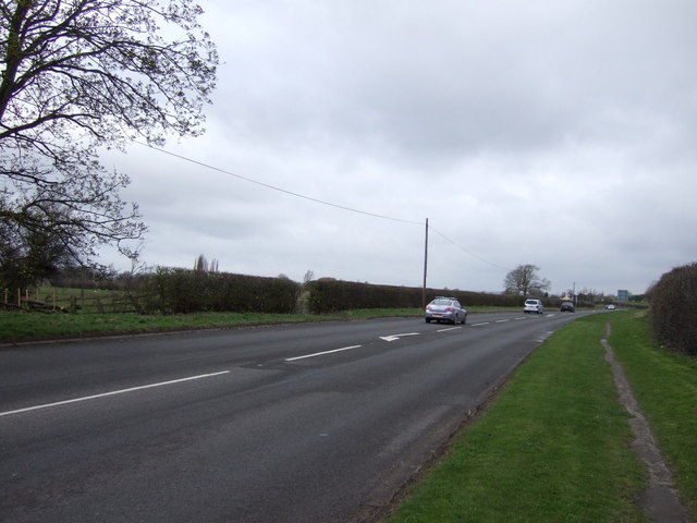
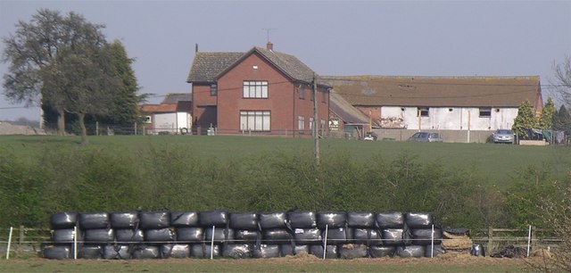
Flushing Covert Images
Images are sourced within 2km of 52.812021/-2.0280722 or Grid Reference SJ9823. Thanks to Geograph Open Source API. All images are credited.


Flushing Covert is located at Grid Ref: SJ9823 (Lat: 52.812021, Lng: -2.0280722)
Administrative County: Staffordshire
District: Stafford
Police Authority: Staffordshire
What 3 Words
///these.earplugs.public. Near Great Haywood, Staffordshire
Nearby Locations
Related Wikis

Tixall Gatehouse
Tixall Gatehouse is a 16th-century gatehouse situated at Tixall, near Stafford, Staffordshire and is all that remains of Tixall Hall which was demolished...

Ingestre
Ingestre is a village and civil parish in the Stafford district, in the county of Staffordshire, England. The population of the civil parish taken at the...
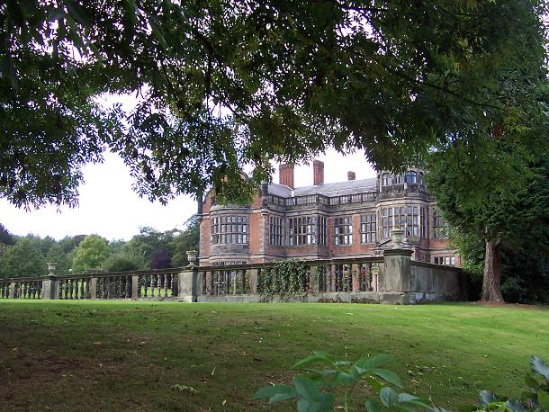
Ingestre Hall
Ingestre Hall is a Grade II* 17th-century Jacobean mansion situated at Ingestre, near Stafford, Staffordshire, England. Formerly the seat of the Earls...

Way for the Millennium
The Way for the Millennium is a 41-mile-long (66 km) east–west route across Staffordshire, deliberately designed for easy walking, using towpaths, old...

Tixall
Tixall is a small village and civil parish in the Stafford district, in the English county of Staffordshire lying on the western side of the Trent valley...

Tixall Wide
Tixall Wide, also known as Tixall Broad or The Broad Water, is a body of water that forms part of the Staffordshire and Worcestershire Canal near Tixall...

Black country ring
The Black Country Ring is a UK canal ring composed of the Staffordshire and Worcestershire Canal, Birmingham Main Line, Birmingham and Fazeley Canal, Coventry...
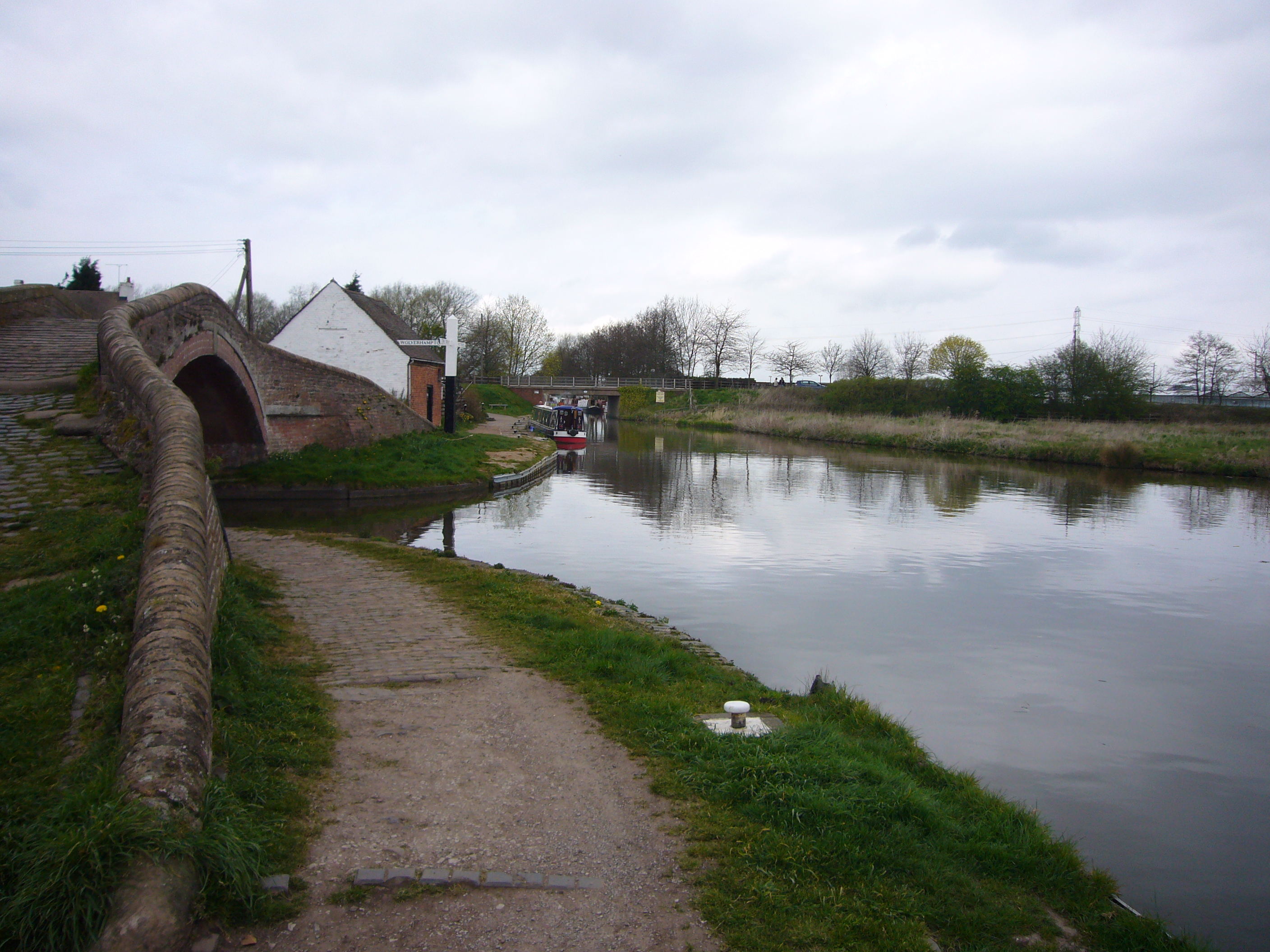
Haywood Junction
Haywood Junction (grid reference SJ994229), or Great Haywood Junction, is the name of the canal junction where the Staffordshire and Worcestershire Canal...
Nearby Amenities
Located within 500m of 52.812021,-2.0280722Have you been to Flushing Covert?
Leave your review of Flushing Covert below (or comments, questions and feedback).