Green Gutter

Wood, Forest in Cheshire

England

Green Gutter

Shutlingsloe From Croker Hill
Shutlingsloe Credit: Anthony O'Neil

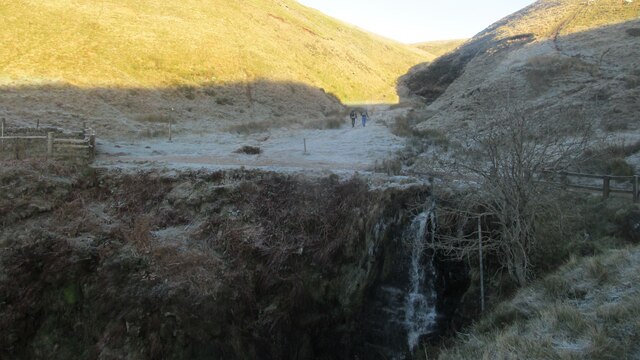
Green Gutter, Cheshire is a lush woodland area located in the county of Cheshire, England. Situated in the heart of the Cheshire countryside, Green Gutter is known for its picturesque beauty and abundant wildlife.

Covering an area of approximately 100 acres, Green Gutter is characterized by its dense and diverse woodland, consisting mainly of deciduous trees such as oak, beech, and birch. These trees provide a vibrant canopy that casts a cool shade over the forest floor, creating a tranquil and serene atmosphere.

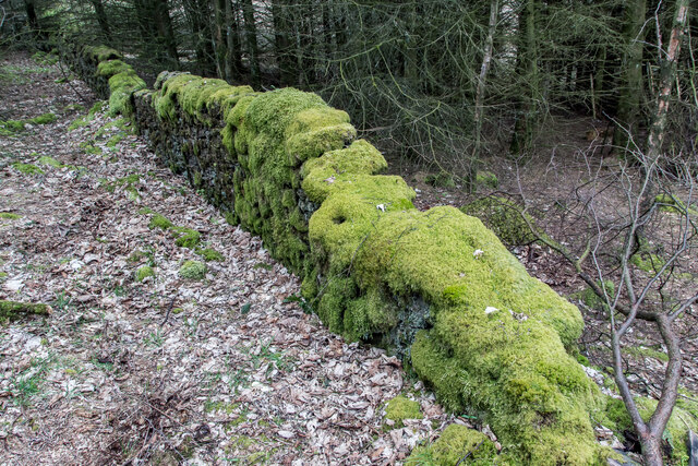
The forest floor of Green Gutter is covered with a rich carpet of moss, ferns, and wildflowers, adding to its natural beauty. The forest is also home to a variety of wildlife, including deer, foxes, badgers, and numerous bird species. The peaceful surroundings make it a popular spot for birdwatching and wildlife enthusiasts.

Green Gutter is crisscrossed by a network of walking trails, allowing visitors to explore the forest at their own pace. These trails lead to various points of interest, such as a small stream that meanders through the woodland, adding to the area's charm.

The woodland is managed by the local authorities, who ensure its preservation and conservation. As a result, Green Gutter remains a pristine and unspoiled natural haven, providing a sanctuary for both flora and fauna.

Whether it's a leisurely stroll, a picnic, or simply immersing oneself in nature's tranquility, Green Gutter, Cheshire offers an idyllic escape from the hustle and bustle of city life.

If you have any feedback on the listing, please let us know in the comments section below.
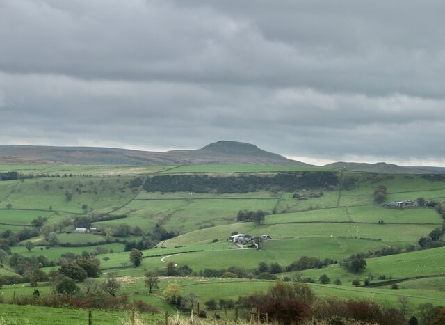
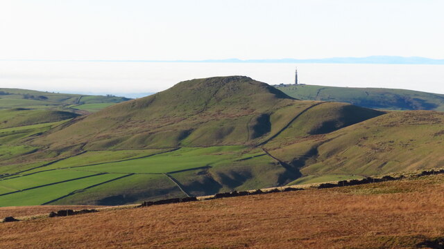
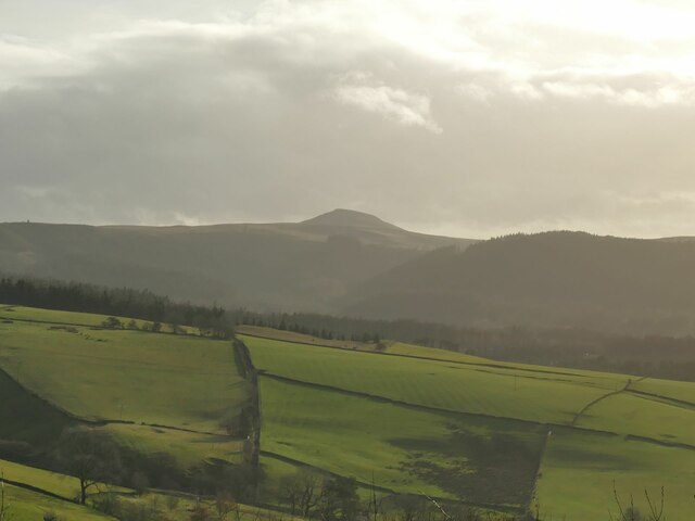
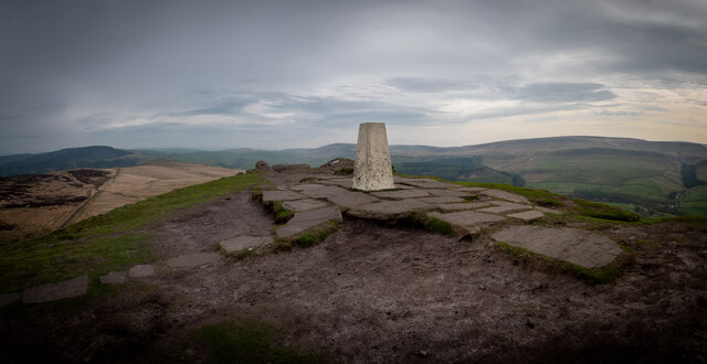
Green Gutter Images

Images are sourced within 2km of 53.235426/-2.0298641 or Grid Reference SJ9870. Thanks to Geograph Open Source API. All images are credited.

Shutlingsloe From Croker Hill
Shutlingsloe
From Croker Hill
Shutlingsloe & Croker Hill from Whetstone Ridge A clear sunny morning with a cold air inversion over the Cheshire Plain. The hills beyond are just into Wales.
Shutlingsloe & Croker Hill from Whetstone Ridge
A clear sunny morning with a cold air inversion over the Cheshire Plain. The hills beyond are just into Wales.
View towards Shutlingsloe from Tegg's Nose visitor centre The distance between the two is 4.5km as the crow flies.
View towards Shutlingsloe from Tegg's Nose visitor centre
The distance between the two is 4.5km as the crow flies.
Shutlingsloe from near Crag Hall, Wildboarclough
Shuttlingsloe Summit Panno Class: Ethel, Hump, Dodd (500-599m), Dewey  ( <span class="nowrap"><a title="https://www.hill-bagging.co.uk/mountaindetails.php?qu=S&rf=3644" rel="nofollow ugc noopener" href="https://www.hill-bagging.co.uk/mountaindetails.php?qu=S&rf=3644">Link</a><img style="margin-left:2px;" alt="External link" title="External link - shift click to open in new window" src="https://s1.geograph.org.uk/img/external.png" width="10" height="10"/></span> )

Trigpoint ( <span class="nowrap"><a title="http://www.trigpointinguk.com/trigs/trig-details.php?t=5970" rel="nofollow ugc noopener" href="http://www.trigpointinguk.com/trigs/trig-details.php?t=5970">Link</a><img style="margin-left:2px;" alt="External link" title="External link - shift click to open in new window" src="https://s1.geograph.org.uk/img/external.png" width="10" height="10"/></span> )
Shuttlingsloe Summit Panno
Class: Ethel, Hump, Dodd (500-599m), Dewey ( LinkExternal link ) Trigpoint ( LinkExternal link )
Cumberland Brook waterfall Quite spectacular.
Cumberland Brook waterfall
Quite spectacular.
On Shutlingsloe - first rays of sunlight on trig point An early morning start to get to the summit of Shutlingsloe to get the sunrise.
On Shutlingsloe - first rays of sunlight on trig point
An early morning start to get to the summit of Shutlingsloe to get the sunrise.
Early morning - path north from Shutlingsloe
Macclesfield Forest and Shutlingsloe from the air Viewed from a Luton bound flight from Prague.
Macclesfield Forest and Shutlingsloe from the air
Viewed from a Luton bound flight from Prague.
Trentabank Reservoir, Macclesfield Forest
Late afternoon sunlight Macclesfield Forest as seen from the path south of Stakeside The Cheshire Plain is choked by a cold air inversion. Beyond, the Berwyn Range of mountains is visible.
Late afternoon sunlight Macclesfield Forest as seen from the path south of Stakeside
The Cheshire Plain is choked by a cold air inversion. Beyond, the Berwyn Range of mountains is visible.
On concessionary path leading up from Torgate Farm towards Cat & Fiddle PH A new concessionary path, not shown on mapping now continues up to join the A537 just west of the Cat & Fiddle PH.
On concessionary path leading up from Torgate Farm towards Cat & Fiddle PH
A new concessionary path, not shown on mapping now continues up to join the A537 just west of the Cat & Fiddle PH.
Cuckoo Rocks Farm Ruin
Cuckoo Rocks Cat & Fiddle in the background
Cuckoo Rocks
Cat & Fiddle in the background
Car park view, standing stone, Macclesfield Forest
More Moss Than Wall (Stone Wall), Macclesfield Forest Some lovely old walls around here
More Moss Than Wall (Stone Wall), Macclesfield Forest
Some lovely old walls around here
St Stephen's Church Macclesfield Forest church.
St Stephen's Church
Macclesfield Forest church.
The Stanley Arms Across the Tor Brook valley.
The Stanley Arms
Across the Tor Brook valley.
Show me another place!

Green Gutter is located at Grid Ref: SJ9870 (Lat: 53.235426, Lng: -2.0298641)

Unitary Authority: Cheshire East

Police Authority: Cheshire

What 3 Words

///loyal.slamming.inherits. Near Macclesfield, Cheshire

Related Wikis

Macclesfield Forest and Wildboarclough

Macclesfield Forest and Wildboarclough is a civil parish in the unitary authority of Cheshire East and the ceremonial county of Cheshire, England. It...

Forest Chapel

Forest Chapel stands in an isolated position in the civil parish of Macclesfield Forest and Wildboarclough in Cheshire, England, within the Peak District...

Shutlingsloe

Shutlingsloe is a hill near the village of Wildboarclough, in the east of the county of Cheshire. It stands to the south of Macclesfield Forest, on the...
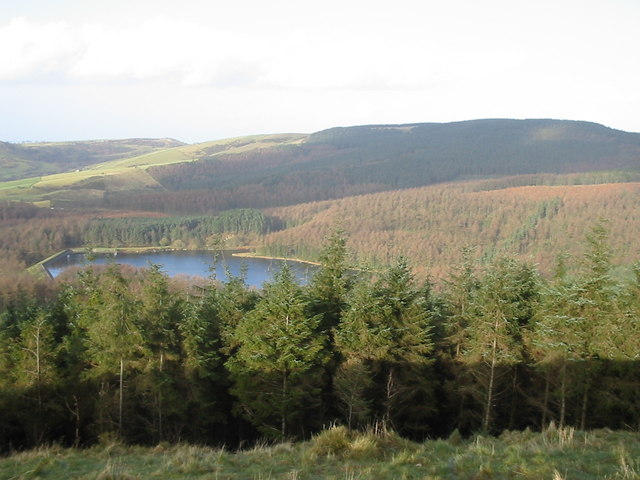
Macclesfield Forest

Macclesfield Forest is an area of woodland, predominantly conifer plantation, around 3 mi (5 km) south east of Macclesfield in the civil parish of Macclesfield...

Nearby Amenities

Located within 500m of 53.235426,-2.0298641
Dingers Hollow Farm
Place: locality
Lat/Long: 53.2358384/-2.027356
The data included in this document is from www.openstreetmap.org. The data is made available under ODbL.

Have you been to Green Gutter?

Leave your review of Green Gutter below (or comments, questions and feedback).