Queen's Wood

Wood, Forest in Gloucestershire Tewkesbury

England

Queen's Wood

New gate on footpath New gate on footpath on open access land on Cleeve Common.
New gate on footpath Credit: Philip Halling

Queen's Wood is a picturesque woodland located in Gloucestershire, England. It covers an area of approximately 150 acres and is nestled within the enchanting Forest of Dean. The wood is renowned for its natural beauty and is a popular destination for nature enthusiasts and outdoor lovers.

The woodland is predominantly composed of ancient oak and beech trees, which create a dense canopy and provide a habitat for a wide variety of flora and fauna. The forest floor is carpeted with a rich tapestry of wildflowers, ferns, and mosses, adding to the wood's charm and biodiversity.

Queen's Wood is intersected by several well-maintained walking trails, allowing visitors to explore its many hidden treasures. The paths wind through the wood, offering stunning views of the surrounding landscape and opportunities to spot wildlife such as deer, badgers, and various bird species.

The wood has a rich historical significance, with evidence of human activity dating back to medieval times. It is believed to have been a royal hunting ground, hence its name, Queen's Wood. Remnants of ancient earthworks and stone structures can still be found within the wood, adding to its allure and intrigue.

Today, Queen's Wood is managed by the Forestry Commission, who ensure its preservation and accessibility for visitors. The wood offers a peaceful retreat from the bustling city life, with its tranquil atmosphere and natural beauty. It is a perfect destination for those seeking solace in nature, with its serene ambiance and captivating scenery.

If you have any feedback on the listing, please let us know in the comments section below.
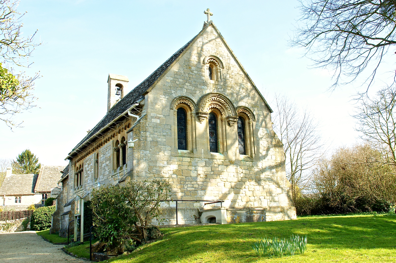
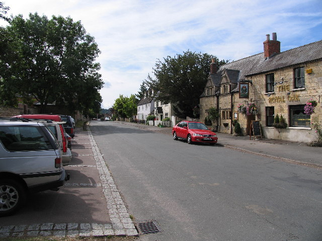
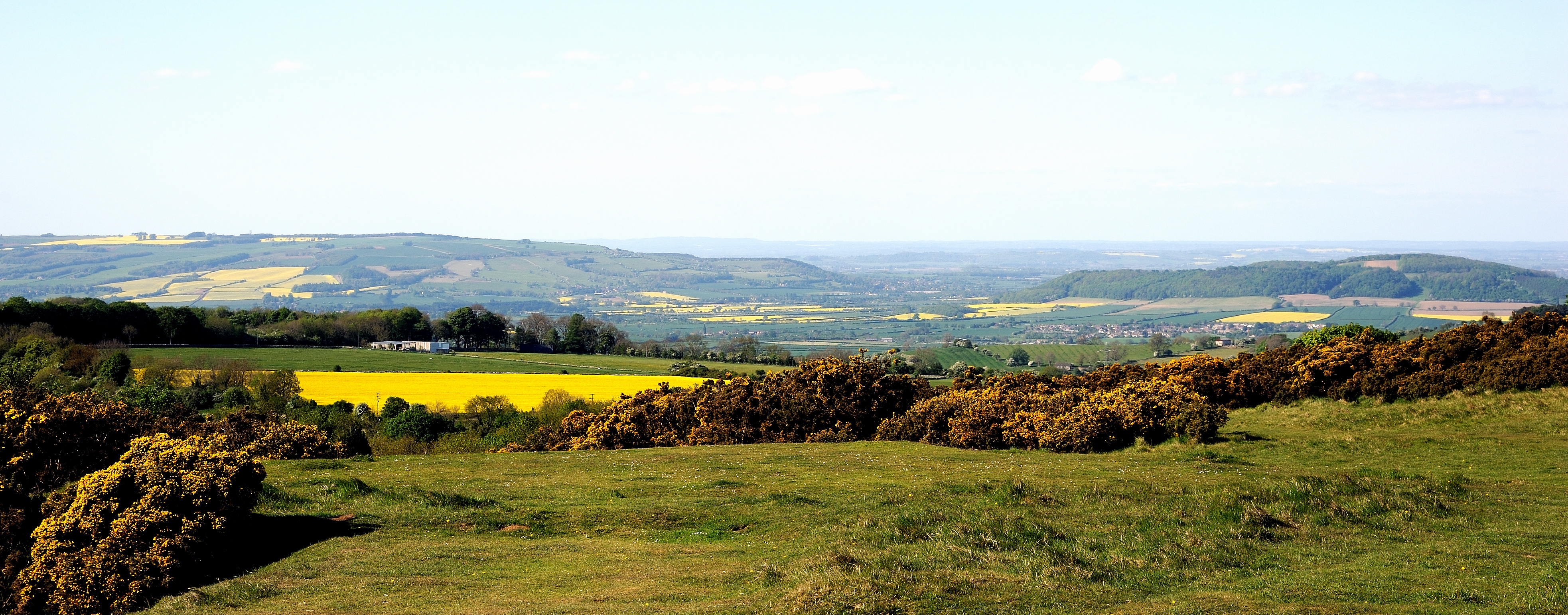
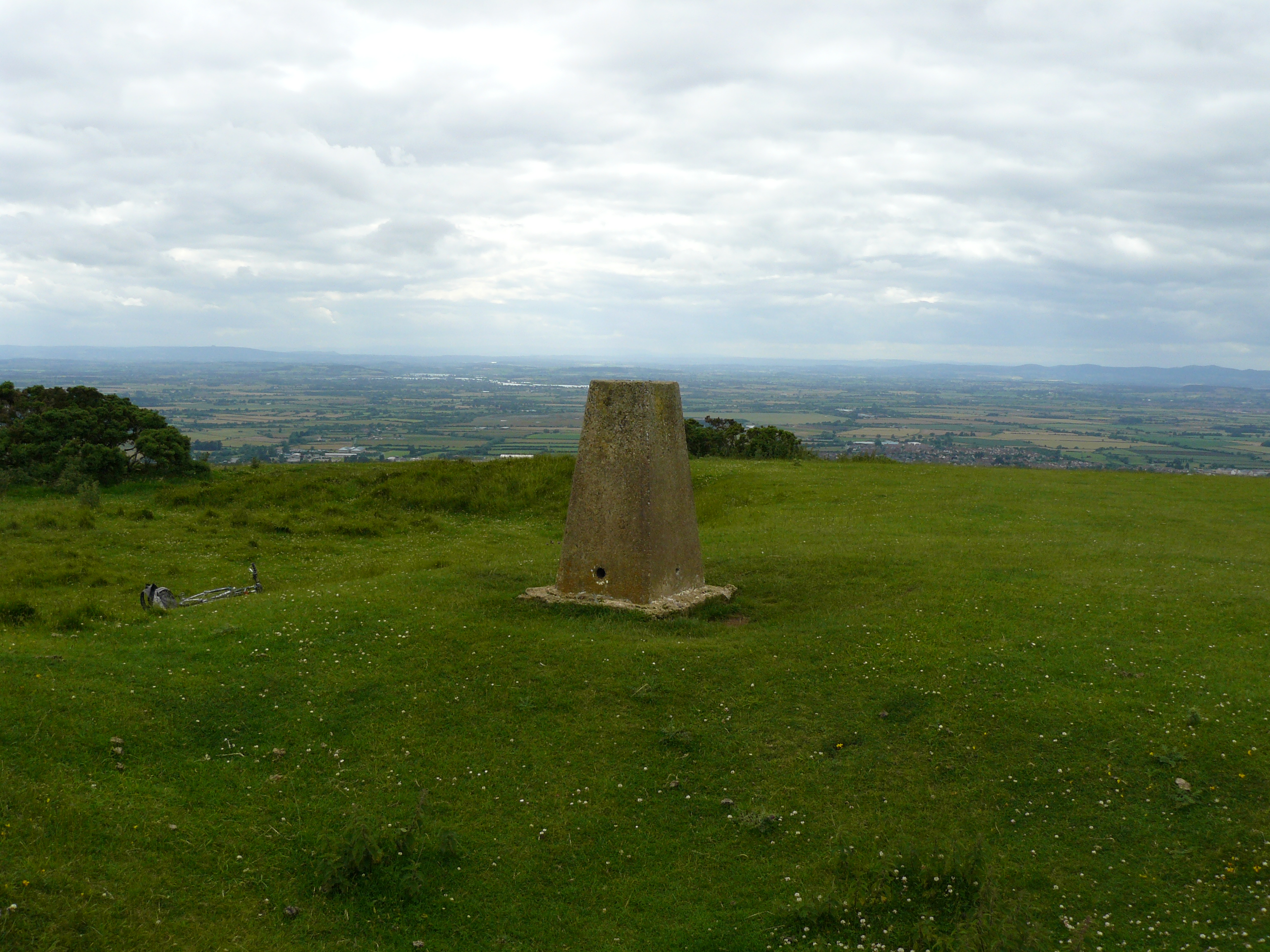
Queen's Wood Images

Images are sourced within 2km of 51.923283/-2.0291669 or Grid Reference SO9824. Thanks to Geograph Open Source API. All images are credited.

New gate on footpath New gate on footpath on open access land on Cleeve Common.
New gate on footpath
New gate on footpath on open access land on Cleeve Common.
Cleeve Common and Breakheart Plantation Viewed from the Winchcombe Way.
Cleeve Common and Breakheart Plantation
Viewed from the Winchcombe Way.
Two Degrees West Standing on the Meridian, 2 Degrees west on the day of the winter solstice.  Nicholas Crane describes this as England's prime meridian running as it does through most of the country, from Berwick-Upon-Tweed on the Northumbrian coast to the Isle of Purbeck in Dorset.  In Nicholas Crane's book 'Two Degrees West' he walked this meridian, never deviating more than a thousand metres east or west and crossed Cleeve Hill which is just west of this point and the highest point in the Cotswold Hills.
Two Degrees West
Standing on the Meridian, 2 Degrees west on the day of the winter solstice. Nicholas Crane describes this as England's prime meridian running as it does through most of the country, from Berwick-Upon-Tweed on the Northumbrian coast to the Isle of Purbeck in Dorset. In Nicholas Crane's book 'Two Degrees West' he walked this meridian, never deviating more than a thousand metres east or west and crossed Cleeve Hill which is just west of this point and the highest point in the Cotswold Hills.
St Mary's Church, Prestbury, Cheltenham Sited on Mill Street which is a quiet lane running parallel with the main road through Prestbury, the church is at the extreme southern edge of this square, and parts of the building and churchyard are in SO9623. Taken at SO969 240 facing South East
St Mary's Church, Prestbury, Cheltenham
Sited on Mill Street which is a quiet lane running parallel with the main road through Prestbury, the church is at the extreme southern edge of this square, and parts of the building and churchyard are in SO9623. Taken at SO969 240 facing South East
The Burgage and Royal Oak, Prestbury One of the old roads of the original Prestbury Village, the Burgage has a mix of old and newer properties on it. The Royal Oak is one of the older ones.
The Burgage and Royal Oak, Prestbury
One of the old roads of the original Prestbury Village, the Burgage has a mix of old and newer properties on it. The Royal Oak is one of the older ones.
Southam Tithe Barn The medieval Tithe Barn is now used for functions and auction sales. It faces the parish Church of the Ascension.
Southam Tithe Barn
The medieval Tithe Barn is now used for functions and auction sales. It faces the parish Church of the Ascension.
Church of the Ascension, Southam The parish church in Southam is small, reflecting Southam's history as a small village north on Cheltenham. The church faces the Tithe Barn, and one of the older houses in the village can be seen to the left of the church. Modern day Southam has a majority of newish houses and is a dormitory village to Cheltenham and Gloucester.
Church of the Ascension, Southam
The parish church in Southam is small, reflecting Southam's history as a small village north on Cheltenham. The church faces the Tithe Barn, and one of the older houses in the village can be seen to the left of the church. Modern day Southam has a majority of newish houses and is a dormitory village to Cheltenham and Gloucester.
Cheltenham Cemetery Chapel and Crematorium Sited on the North Eastern edge of Cheltenham under the lee of the Cotswold escarpment, the majority of burials and cremations in Cheltenham now take place here.
Cheltenham Cemetery Chapel and Crematorium
Sited on the North Eastern edge of Cheltenham under the lee of the Cotswold escarpment, the majority of burials and cremations in Cheltenham now take place here.
Prestbury High Street A popular residential village on the northern edge of Cheltenham, the High street is on the main road to Winchcombe and Broadway. It boasts a general store, newsagent/post office, bank, public house/restaurant and a ladies hat shop..
Prestbury High Street
A popular residential village on the northern edge of Cheltenham, the High street is on the main road to Winchcombe and Broadway. It boasts a general store, newsagent/post office, bank, public house/restaurant and a ladies hat shop..
B4632 from Shaw Green Lane The B4632 is the road from Cheltenham to Winchcombe and Broadway over Cleeve Hill which rises behind the road with Queens Wood on its flanks.
B4632 from Shaw Green Lane
The B4632 is the road from Cheltenham to Winchcombe and Broadway over Cleeve Hill which rises behind the road with Queens Wood on its flanks.
View from Cleeve Cloud Cleeve Cloud is the second highest point on Cleeve Hill. This view, taken from just below the highest point, looks north east down Postlip with Winchcombe in the distance. One of the greens of Cleeve Hill Golf Course is visible just behind the rough grass in the foreground.
View from Cleeve Cloud
Cleeve Cloud is the second highest point on Cleeve Hill. This view, taken from just below the highest point, looks north east down Postlip with Winchcombe in the distance. One of the greens of Cleeve Hill Golf Course is visible just behind the rough grass in the foreground.
Cleeve Cloud Trig Point The Trig Pillar is actually on the lower "summit" of Cleeve Cloud and is only the third highest point on Cleeve Hill at 317 metres, but has by far the best views. The Severn Vale and Malvern Hills are in the background. The pedestal behind the pillar describes several of the landmarks visible.
Cleeve Cloud Trig Point
The Trig Pillar is actually on the lower "summit" of Cleeve Cloud and is only the third highest point on Cleeve Hill at 317 metres, but has by far the best views. The Severn Vale and Malvern Hills are in the background. The pedestal behind the pillar describes several of the landmarks visible.
Cleeve Hill Communication Masts Situated very close to the highest point on Cleeve Hill, these masts are visible from many miles around.
Cleeve Hill Communication Masts
Situated very close to the highest point on Cleeve Hill, these masts are visible from many miles around.
View across Cleeve Common Cleeve Common is the high ground north and east of the "summits" of Cleeve Hill, falling away towards Winchcombe which can be seen in the distance. The whole area was quarried extensively in the past, and a disused quarry can be seen on the hillside in the middle right of the picture.
View across Cleeve Common
Cleeve Common is the high ground north and east of the "summits" of Cleeve Hill, falling away towards Winchcombe which can be seen in the distance. The whole area was quarried extensively in the past, and a disused quarry can be seen on the hillside in the middle right of the picture.
Above Noverton This square is filled by the steep south western slopes of the southern end of the Cleeve Hill/Common area. This view looks south west down the slopes across Cheltenham and into the Severn Vale. The green building in the left foreground is part of the old GCHQ complex.
Above Noverton
This square is filled by the steep south western slopes of the southern end of the Cleeve Hill/Common area. This view looks south west down the slopes across Cheltenham and into the Severn Vale. The green building in the left foreground is part of the old GCHQ complex.
Cleeve Common Trig Point This is the highest point in the Cotswolds at 330 metres. If you travel directly east from here, I understand that you would not encounter any higher land until the Ural mountains!
Cleeve Common Trig Point
This is the highest point in the Cotswolds at 330 metres. If you travel directly east from here, I understand that you would not encounter any higher land until the Ural mountains!
Bill Smyllie Butterfly Reserve Situated on the Western Slopes of Cleeve Common, this butterfly reserve overlooks north east Cheltenham and the Severn Vale.
Bill Smyllie Butterfly Reserve
Situated on the Western Slopes of Cleeve Common, this butterfly reserve overlooks north east Cheltenham and the Severn Vale.
Bill Smyllie Butterfly Reserve Information Board The board is on the edge of the lane running up to Cleeve Common.
Bill Smyllie Butterfly Reserve Information Board
The board is on the edge of the lane running up to Cleeve Common.
Show me another place!

Queen's Wood is located at Grid Ref: SO9824 (Lat: 51.923283, Lng: -2.0291669)

Administrative County: Gloucestershire

District: Tewkesbury

Police Authority: Gloucestershire

What 3 Words

///passage.chambers.though. Near Bishops Cleeve, Gloucestershire

Nearby Locations

Queen's Wood

Related Wikis

Southam, Gloucestershire

Southam is a village in Gloucestershire, England, located on the outskirts of Cheltenham. Its main features are a Manor House, which has now been converted...

Prestbury, Gloucestershire

Prestbury is a village and civil parish in the borough of Cheltenham in Gloucestershire, England. Located on the outskirts of Cheltenham and part of the...

Cleeve Common

Cleeve Common (grid reference SO990260) is a 455-hectare (1,120-acre) biological and geological Site of Special Scientific Interest in Gloucestershire...

Cleeve Hill, Gloucestershire

Cleeve Hill (also known as Cleeve Cloud) is the highest point both of the Cotswolds hill range and of the county of Gloucestershire, at 330 m (1,080 ft...

Cheltenham Gold Cup

The Cheltenham Gold Cup is a Grade 1 National Hunt horse race run on the New Course at Cheltenham Racecourse in England, over a distance of about 3 miles...

Cheltenham Racecourse

Cheltenham Racecourse at Prestbury Park, near Cheltenham, Gloucestershire, England, hosts National Hunt horse racing. Racing at Cheltenham took place in...

Cheltenham Festival

The Cheltenham Festival is a horse racing-based meeting in the National Hunt racing calendar in the United Kingdom, with race prize money second only to...

Greenbelt Festival

Greenbelt Festival is a festival of arts, faith and justice held annually in England since 1974. Greenbelt has grown out of an evangelical Christian music...

Nearby Amenities

Located within 500m of 51.923283,-2.0291669
Barrier: stile
Bicycle: yes
Foot: yes
Material: wood
Stile: stepover
Lat/Long: 51.922173/-2.0255235
Barrier: stile
Foot: yes
Material: wood
Stile: stepover
Lat/Long: 51.9232929/-2.0233086
Barrier: stile
Bicycle: yes
Foot: yes
Material: wood
Stile: stepover
Lat/Long: 51.9215748/-2.0270205
Barrier: stile
Material: stone
Stile: stepover
Lat/Long: 51.9192209/-2.0301035
Barrier: stile
Material: wood
Stile: stepover
Lat/Long: 51.9220147/-2.0260696
Barrier: stile
Stile: squeezer
Lat/Long: 51.9200257/-2.0340219
Barrier: stile
Stile: squeezer
Lat/Long: 51.9201581/-2.0341257
Barrier: stile
Foot: designated
Lat/Long: 51.9233053/-2.0345344
Barrier: stile
Foot: designated
Lat/Long: 51.923371/-2.0345671
Barrier: stile
Foot: designated
Stile: stepover
Lat/Long: 51.9274762/-2.0308101
Location Transition: yes
Power: pole
Lat/Long: 51.927369/-2.0288611
Power: pole
Lat/Long: 51.9198679/-2.0249034
Power: pole
Lat/Long: 51.9195017/-2.0259245
The data included in this document is from www.openstreetmap.org. The data is made available under ODbL.

Have you been to Queen's Wood?

Leave your review of Queen's Wood below (or comments, questions and feedback).