Badgers Brake

Wood, Forest in Worcestershire Wychavon

England

Badgers Brake

Appleby, Hanbury An early 17th century house with late 19th and mid-20th century alterations and additions. Listed Grade II.
Appleby, Hanbury Credit: Chris Allen

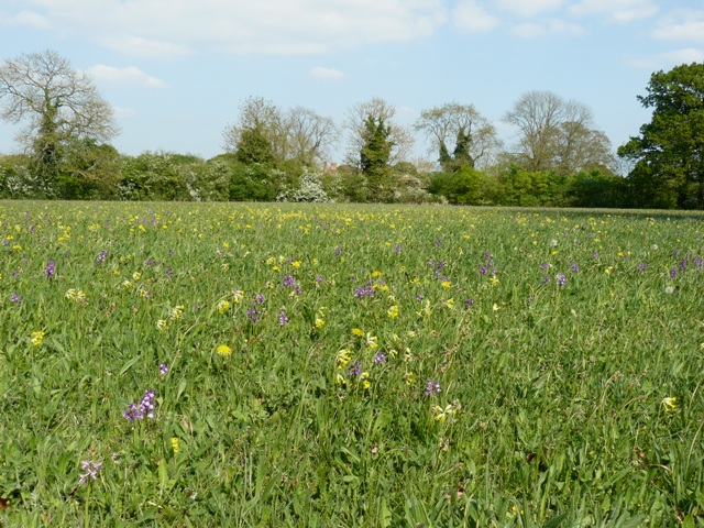
Badgers Brake is a picturesque woodland area located in Worcestershire, England. Covering approximately 30 acres, this forested area is known for its tranquil atmosphere and diverse wildlife. The woodland is home to a variety of trees, including oak, beech, and birch, providing a rich habitat for numerous bird species and small mammals.

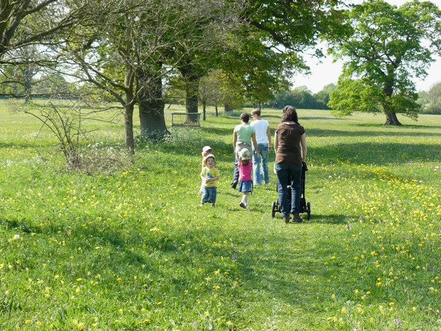
Visitors to Badgers Brake can enjoy leisurely walks along the well-marked trails that wind through the forest, offering glimpses of the stunning natural beauty that surrounds them. The woodland is also a popular spot for birdwatching and nature photography, with many unique species to be spotted throughout the year.

In addition to its natural beauty, Badgers Brake also offers a variety of recreational activities, such as picnicking, camping, and hiking. The forest is a popular destination for outdoor enthusiasts looking to escape the hustle and bustle of city life and immerse themselves in the peaceful surroundings of nature.

Overall, Badgers Brake is a hidden gem in Worcestershire, offering visitors a chance to connect with nature and enjoy the beauty of the great outdoors.

If you have any feedback on the listing, please let us know in the comments section below.

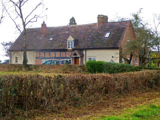
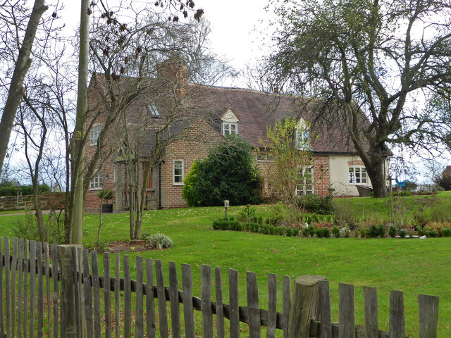
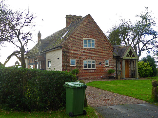
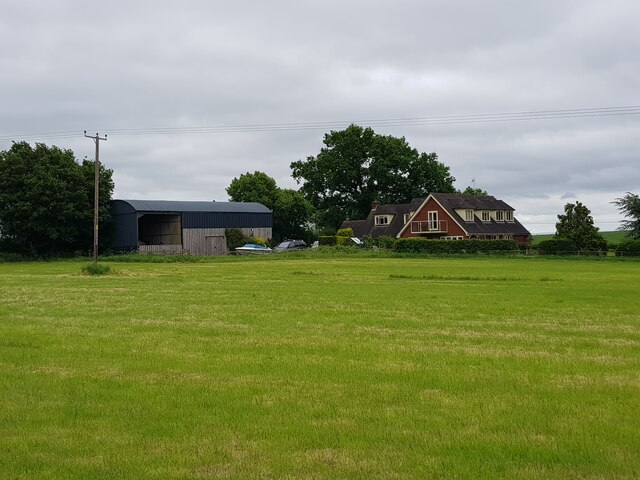
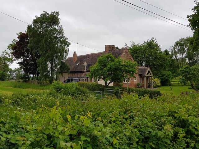
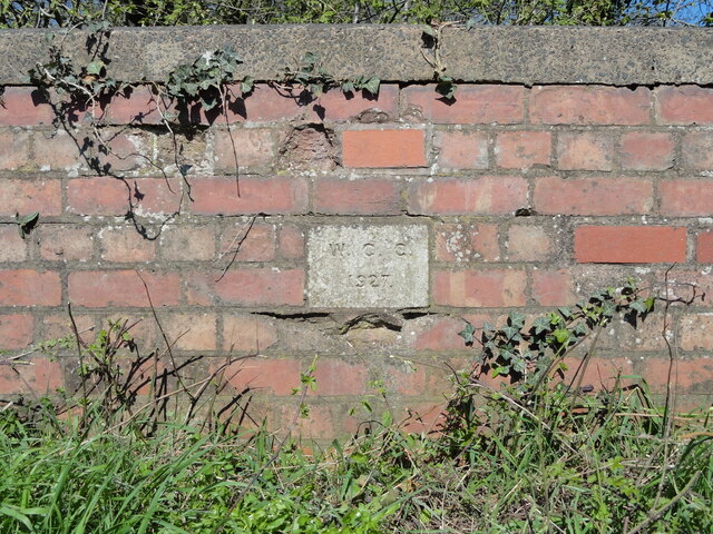
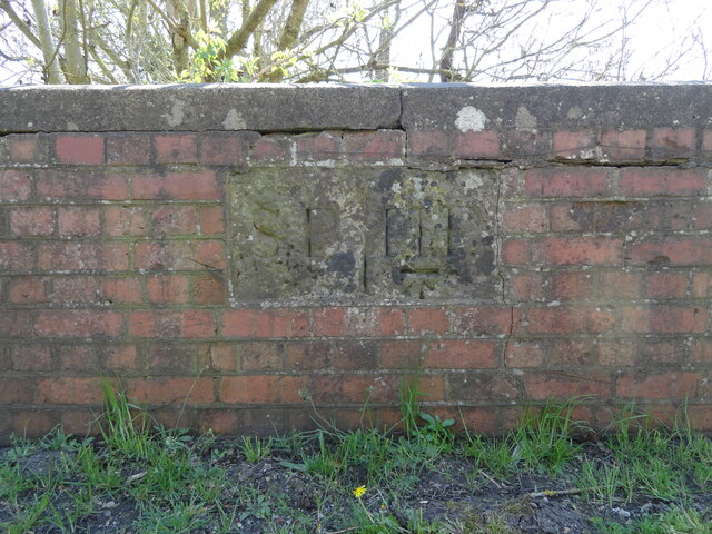
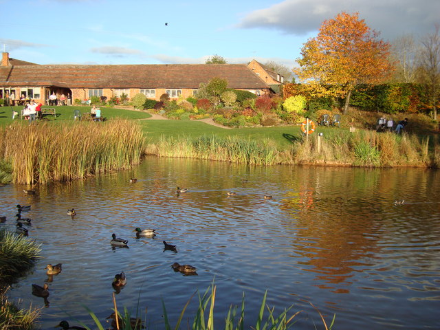
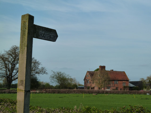
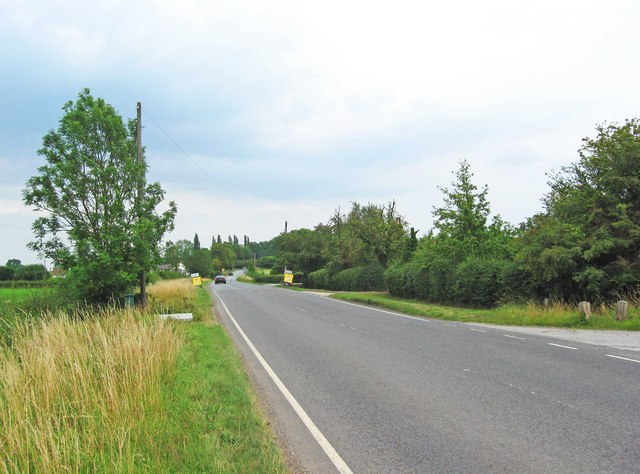
Badgers Brake Images

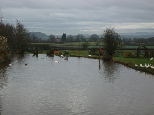
Images are sourced within 2km of 52.26861/-2.0304354 or Grid Reference SO9863. Thanks to Geograph Open Source API. All images are credited.

Appleby, Hanbury An early 17th century house with late 19th and mid-20th century alterations and additions. Listed Grade II.
Appleby, Hanbury
An early 17th century house with late 19th and mid-20th century alterations and additions. Listed Grade II.
Appleby, Hanbury An early 17th century house with late 19th and mid-20th century alterations and additions. Listed Grade II.
Appleby, Hanbury
An early 17th century house with late 19th and mid-20th century alterations and additions. Listed Grade II.
Appleby, Hanbury An early 17th century house with late 19th and mid-20th century alterations and additions. Listed Grade II.
Appleby, Hanbury
An early 17th century house with late 19th and mid-20th century alterations and additions. Listed Grade II.
Carters Hill House, Pumphouse Lane from the fields
Appleby, Pumphouse Lane, Hanbury
Old Bridge Marker on the B4090 Bridge Marker set in the parapet of the bridge over Seeley Brook on the north side of the B4090 Salt Road. On the boundary of Hanbury and Stock and Bradley parishes.

Milestone Society National ID: WO_HASTBR01br
Old Bridge Marker on the B4090
Bridge Marker set in the parapet of the bridge over Seeley Brook on the north side of the B4090 Salt Road. On the boundary of Hanbury and Stock and Bradley parishes. Milestone Society National ID: WO_HASTBR01br
Old Boundary Marker on the B4090 Parish Boundary Marker set in the parapet of the bridge over Seeley Brook on the south side of the B4090 Salt Road. Inscribed S B for Stock and Bradley parish and H P for Hanbury Parish, separated by a vertical line.

Milestone Society National ID: WO_HASTBR02pb
Old Boundary Marker on the B4090
Parish Boundary Marker set in the parapet of the bridge over Seeley Brook on the south side of the B4090 Salt Road. Inscribed S B for Stock and Bradley parish and H P for Hanbury Parish, separated by a vertical line. Milestone Society National ID: WO_HASTBR02pb
Jinney Ring Craft centre buildings and duck pond A converted farm, the Jinney Ring Craft Centre has had a second duck pond created, seen here in front of some of the craft workshops and cafe.
Jinney Ring Craft centre buildings and duck pond
A converted farm, the Jinney Ring Craft Centre has had a second duck pond created, seen here in front of some of the craft workshops and cafe.
Park Hall Farm From beside where the footpath enters a field.
Park Hall Farm
From beside where the footpath enters a field.
Eades Meadow Enjoying the purple orchids and cowslips in Eades Meadow, managed by the Worcestershire Wildlife Trust
Eades Meadow
Enjoying the purple orchids and cowslips in Eades Meadow, managed by the Worcestershire Wildlife Trust
Early Purple Orchids and Cowslips at Eades Meadow
The B4090 road near Bradley Green The road is also known as the Salt Way, and sometimes as Droitwich Road.
The B4090 road near Bradley Green
The road is also known as the Salt Way, and sometimes as Droitwich Road.
The Red Lion (1), near Bradley Green This large pub and carvery is adjacent to the B4090 road, near the small village of Bradley Green. It used to be a very popular pub, able to cater for around 80 diners, and with over 90 car parking spaces. However, it has now closed, with metal shutters over all the doors and windows. The freehold is for sale, so hopefully someone will re-open it.

<a href="https://www.geograph.org.uk/photo/2532025">SO9861 : The Red Lion (2), near Bradley Green</a>.
<a href="https://www.geograph.org.uk/photo/2532058">SO9861 : The Red Lion (3) - sign, near Bradley Green</a>.
<a href="https://www.geograph.org.uk/photo/2532082">SO9861 : The Red Lion (4) - entrance door, near Bradley Green</a>.
The Red Lion (1), near Bradley Green
This large pub and carvery is adjacent to the B4090 road, near the small village of Bradley Green. It used to be a very popular pub, able to cater for around 80 diners, and with over 90 car parking spaces. However, it has now closed, with metal shutters over all the doors and windows. The freehold is for sale, so hopefully someone will re-open it. SO9861 : The Red Lion (2), near Bradley Green. SO9861 : The Red Lion (3) - sign, near Bradley Green. SO9861 : The Red Lion (4) - entrance door, near Bradley Green.
The Red Lion (2), near Bradley Green In July 2011 this closed pub's freehold was for sale at £450,000 plus Value Added Tax. 

Other pictures:- <a href="https://www.geograph.org.uk/photo/2532010">SO9861 : The Red Lion (1), near Bradley Green</a>.
The Red Lion (2), near Bradley Green
In July 2011 this closed pub's freehold was for sale at £450,000 plus Value Added Tax. Other pictures:- SO9861 : The Red Lion (1), near Bradley Green.
The Red Lion (3) - sign, near Bradley Green Underneath the closed pub's sign, is that of the estate agent. One of their specialities is the sale of licensed premises, so it will be interesting to see what happens to this building.

Other pictures:- <a href="https://www.geograph.org.uk/photo/2532010">SO9861 : The Red Lion (1), near Bradley Green</a>.
The Red Lion (3) - sign, near Bradley Green
Underneath the closed pub's sign, is that of the estate agent. One of their specialities is the sale of licensed premises, so it will be interesting to see what happens to this building. Other pictures:- SO9861 : The Red Lion (1), near Bradley Green.
The Red Lion (4) - entrance door, near Bradley Green The other entrance door at the front is labelled "Bar", this one is labelled "Rest". The two posters state that all items of value have been removed.

Other pictures:- <a href="https://www.geograph.org.uk/photo/2532010">SO9861 : The Red Lion (1), near Bradley Green</a>.
The Red Lion (4) - entrance door, near Bradley Green
The other entrance door at the front is labelled "Bar", this one is labelled "Rest". The two posters state that all items of value have been removed. Other pictures:- SO9861 : The Red Lion (1), near Bradley Green.
Hanbury, The B4091 For Bromsgrove
Pond at the Jinney Ring One of the duck ponds at the Jinney Ring Craft Centre, with the Malvern Hills just visible in the background
Pond at the Jinney Ring
One of the duck ponds at the Jinney Ring Craft Centre, with the Malvern Hills just visible in the background
Show me another place!

Badgers Brake is located at Grid Ref: SO9863 (Lat: 52.26861, Lng: -2.0304354)

Administrative County: Worcestershire

District: Wychavon

Police Authority: West Mercia

What 3 Words

///unwraps.revamping.widest. Near Stoke Prior, Worcestershire

Nearby Locations

Badgers Brake

Related Wikis

Feckenham Forest

Feckenham Forest was a royal forest, centred on the village of Feckenham, covering large parts of Worcestershire and west Warwickshire. It was not entirely...

Hanbury, Worcestershire

Hanbury is a rural village in Worcestershire, England near Droitwich Spa and the M5 motorway. The population of Hanbury has remained around 1,000 since...

Cruise Hill

Cruise Hill is a hamlet outside Redditch, Worcestershire. It lies in between the villages of Feckenham, Callow Hill, Elcocks Brook & Ham Green.

Bradley Green, Worcestershire

Bradley Green is a village in the Wychavon district of Worcestershire, England. It is located just south of the town of Redditch and south of Feckenham...

Have you been to Badgers Brake?

Leave your review of Badgers Brake below (or comments, questions and feedback).