Lodge Coppice

Wood, Forest in Wiltshire

England

Lodge Coppice

Dean Lane at Deanland
Dean Lane at Deanland Credit: David Martin

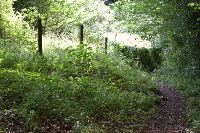
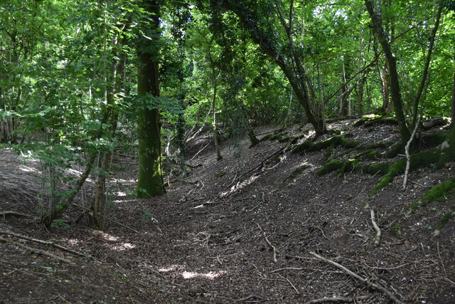
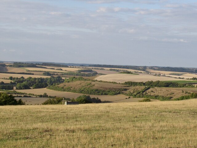
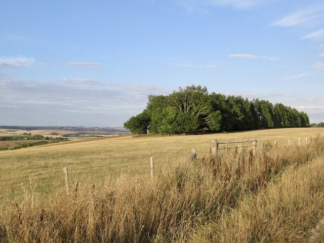
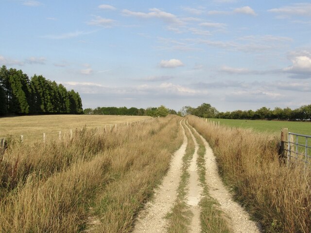
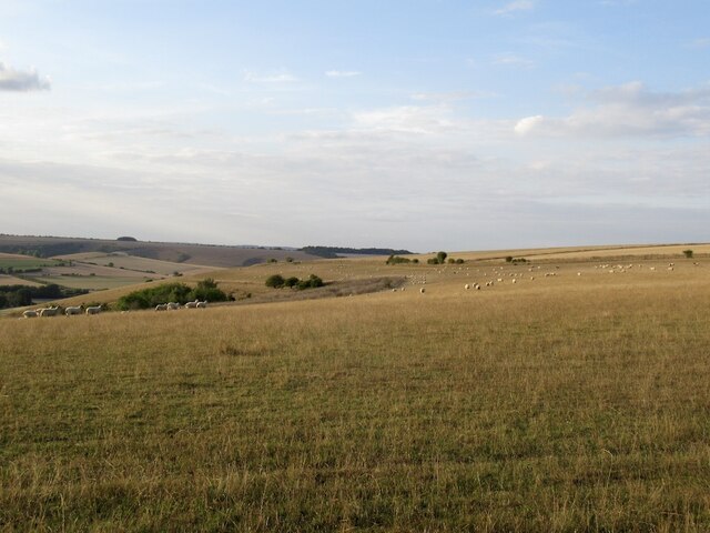
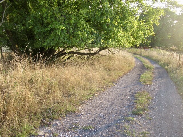
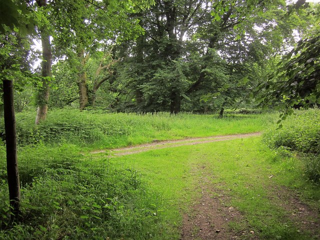
Lodge Coppice is a picturesque woodland area located in Wiltshire, England. It covers approximately 100 acres of mixed broadleaf and coniferous trees, creating a diverse and vibrant ecosystem. The forest is home to a variety of wildlife, including deer, foxes, and a wide range of bird species.

Visitors to Lodge Coppice can enjoy a network of well-maintained walking trails that wind through the forest, offering opportunities to explore the natural beauty of the area. The woodland is also popular with birdwatchers and nature enthusiasts, who come to observe the local wildlife in its natural habitat.

In addition to its natural beauty, Lodge Coppice has historical significance as well. The forest is known to have been used for timber production in the past, and remnants of old logging operations can still be seen throughout the area.

Overall, Lodge Coppice is a peaceful and serene destination for those looking to escape the hustle and bustle of city life and immerse themselves in the tranquility of nature. Whether you're looking for a leisurely stroll through the woods or a chance to spot some of England's native wildlife, Lodge Coppice offers something for everyone.

If you have any feedback on the listing, please let us know in the comments section below.

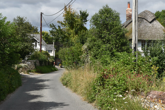
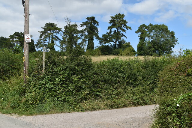
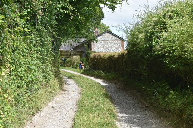
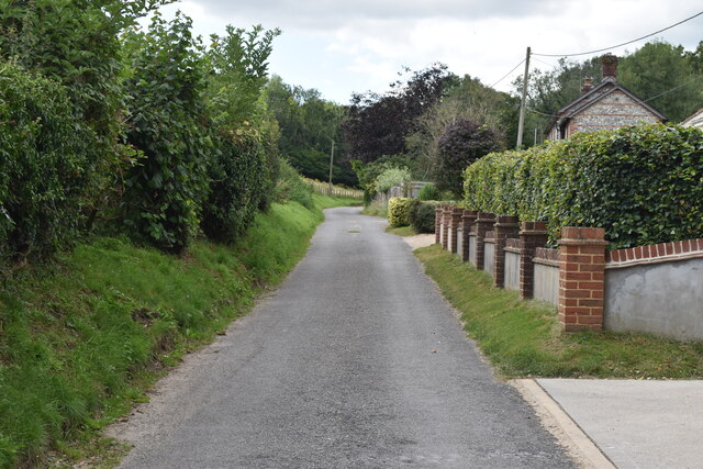
Lodge Coppice Images

Images are sourced within 2km of 50.978506/-2.0296054 or Grid Reference ST9819. Thanks to Geograph Open Source API. All images are credited.

Dean Lane at Deanland
Bridleway junction with Dean Lane
Path on track at New Town The track is a dead end which serves cottages on the upper edge of the settlement, but the footpath continues round the hillside.
Path on track at New Town
The track is a dead end which serves cottages on the upper edge of the settlement, but the footpath continues round the hillside.
Lane at New Town
Lane at New Town
Steep path down hillside at Shermel Gate
Pink house at Shermel Gate
Wrapped bales near Buck's Stile
Iron Age earthwork in Mistleberry Wood Ditch and earthwork of an Iron Age defended settlement, marked on the OS map as a "fort". For the designation, see <span class="nowrap"><a title="https://historicengland.org.uk/listing/the-list/list-entry/1002455" rel="nofollow ugc noopener" href="https://historicengland.org.uk/listing/the-list/list-entry/1002455">Link</a><img style="margin-left:2px;" alt="External link" title="External link - shift click to open in new window" src="https://s1.geograph.org.uk/img/external.png" width="10" height="10"/></span> ("Mistleberry" spelling taken from OS.)
Iron Age earthwork in Mistleberry Wood
Ditch and earthwork of an Iron Age defended settlement, marked on the OS map as a "fort". For the designation, see LinkExternal link ("Mistleberry" spelling taken from OS.)
Field above Monk's Hole View north over a seemingly empty landscape from the Ox Drove.  There are villages, out of sight in the valleys where the water is.
Field above Monk's Hole
View north over a seemingly empty landscape from the Ox Drove. There are villages, out of sight in the valleys where the water is.
Copse on South Down
Copse on South Down
Ox Drove, South Down
Farm buildings near Bigley Barn
View over Cranbourne Chase South from the Ox Drove towards Rushmere woodlands.
View over Cranbourne Chase
South from the Ox Drove towards Rushmere woodlands.
Ox Drove, Trow Down
Ox Drove, Trow Down
Pincombe Down View from the Ox Drove towards Trow Down.
Pincombe Down
View from the Ox Drove towards Trow Down.
Ox Drove
Ox Drove
Track junction, Chase Woods Staplefoot Road (foreground) meets Longcroft Road (footpath BSJO 19) in Bridmore Green, on the north-western side of the woods.
Track junction, Chase Woods
Staplefoot Road (foreground) meets Longcroft Road (footpath BSJO 19) in Bridmore Green, on the north-western side of the woods.
Longcroft Road Footpath BSJO 19 follows this track through Long Croft in Chase Woods.
Longcroft Road
Footpath BSJO 19 follows this track through Long Croft in Chase Woods.
Show me another place!

Lodge Coppice is located at Grid Ref: ST9819 (Lat: 50.978506, Lng: -2.0296054)

Unitary Authority: Wiltshire

Police Authority: Wiltshire

What 3 Words

///goat.prefect.vest. Near Bower Chalke, Wiltshire

Nearby Locations

Lodge Coppice

Related Wikis

Cranborne Chase and West Wiltshire Downs

Cranborne Chase and West Wiltshire Downs is an Area of Outstanding Natural Beauty (AONB) covering 379 square miles (980 km2) of Dorset, Hampshire, Somerset...

Cranborne Chase

Cranborne Chase (grid reference ST970180) is an area of central southern England, straddling the counties Dorset, Hampshire and Wiltshire. It is part of...

Pincombe Down

Pincombe Down (grid reference ST966217) is a 23.8 hectare biological Site of Special Scientific Interest in southwest Wiltshire, England, notified in 1971...

Garston Wood

Garston Wood is a 34-hectare (84-acre) woodland nature reserve on the border between Dorset and Wiltshire in England, around 3 km (2 mi) north of the village...

Nearby Amenities

Located within 500m of 50.978506,-2.0296054
Little Cokers
Place: locality
Lat/Long: 50.9756304/-2.0346836
Little Forlorn
Place: locality
Lat/Long: 50.9748717/-2.032663
Parson's Coppice
Place: locality
Lat/Long: 50.9780466/-2.0334787
Staple Foot
Place: locality
Lat/Long: 50.9802758/-2.0313653
Lodge Coppice
Place: locality
Lat/Long: 50.9786535/-2.0294374
Chalk
Place: locality
Lat/Long: 50.9783851/-2.026323
Great Bingham
Place: locality
Lat/Long: 50.9759222/-2.0292149
The data included in this document is from www.openstreetmap.org. The data is made available under ODbL.

Have you been to Lodge Coppice?

Leave your review of Lodge Coppice below (or comments, questions and feedback).