Sun Moor Wood

Wood, Forest in Yorkshire Craven

England

Sun Moor Wood

Unusual Structure on Barden Moor Beside the track that leads from Embsay Reservoir onto Barden Moor is this structure that resembles a rondevaal - it actually belongs to the shooting fraternity, and is used as a base and shelter.
Unusual Structure on Barden Moor Credit: Chris Heaton

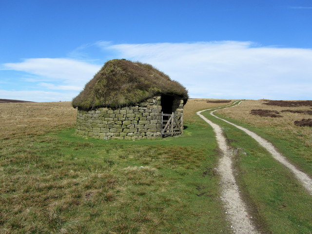
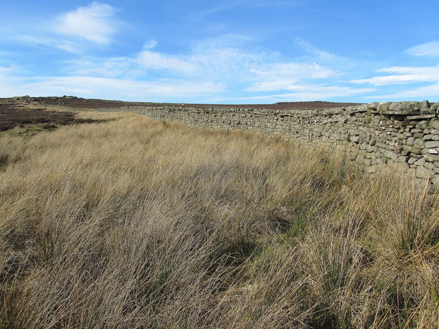
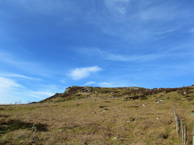
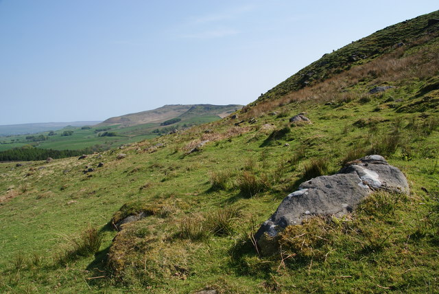
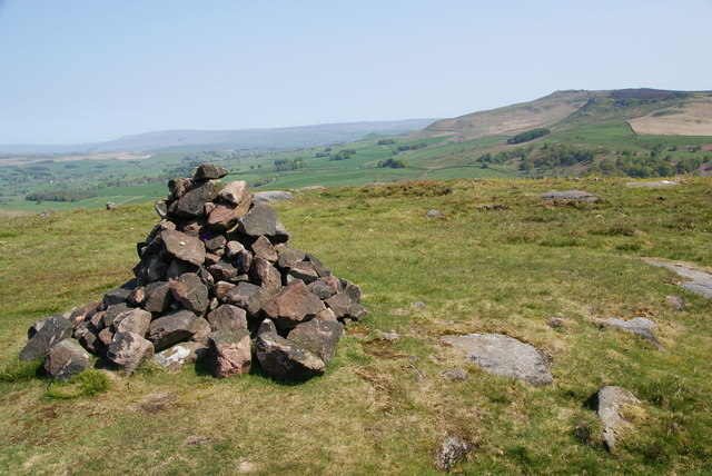
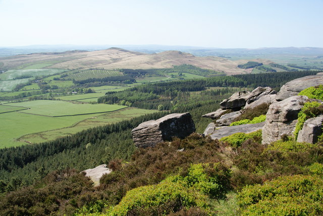
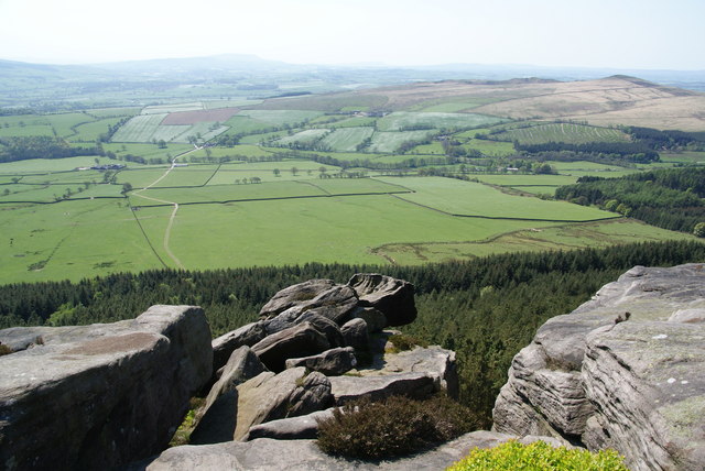
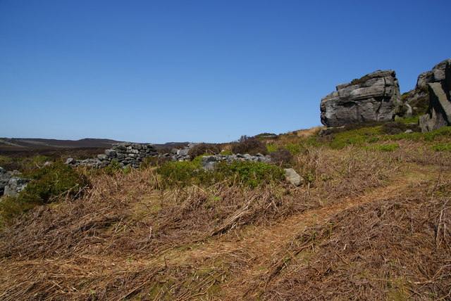
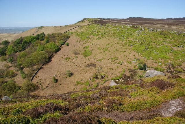
Sun Moor Wood is a picturesque forest located in Yorkshire, England. It covers an area of approximately 100 hectares and is known for its stunning natural beauty and diverse flora and fauna. The wood is situated on the edge of the Yorkshire Dales National Park, making it a popular destination for nature enthusiasts and hikers.

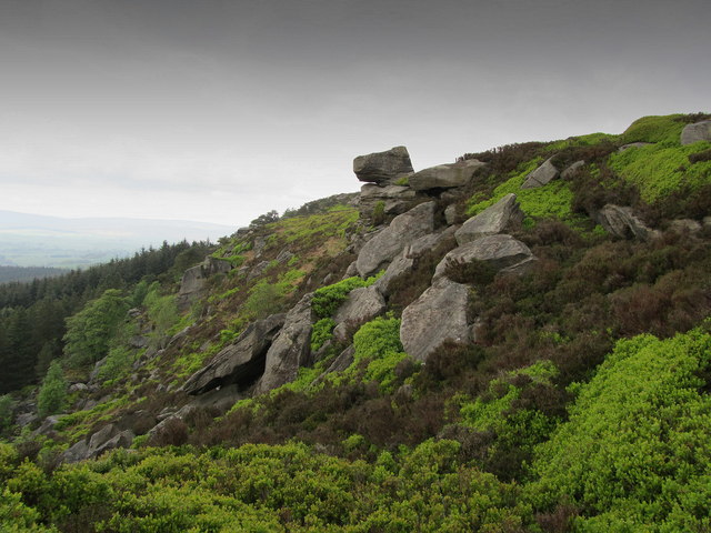
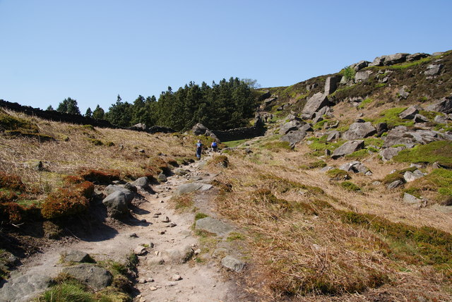
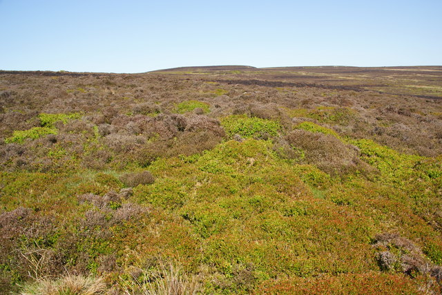
The forest is primarily composed of broadleaf trees such as oak, beech, and birch, which create a dense canopy overhead, providing shade and shelter for the various wildlife that call Sun Moor Wood their home. The forest floor is covered in a thick layer of leaf litter, creating a rich habitat for small mammals, insects, and fungi.

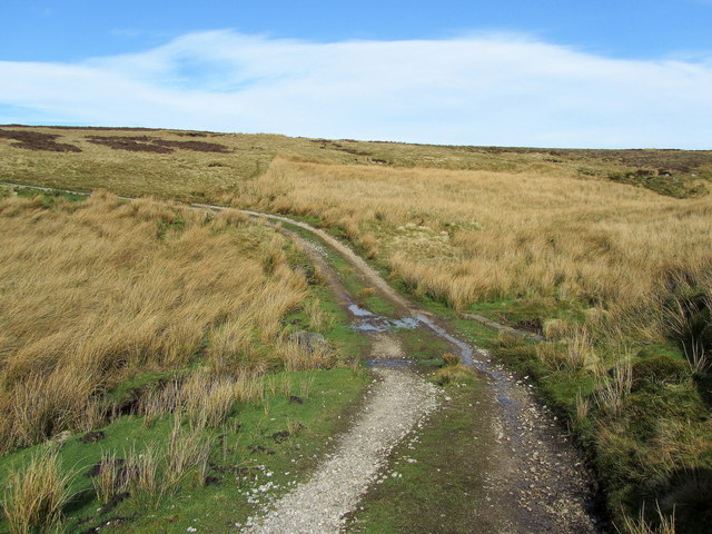
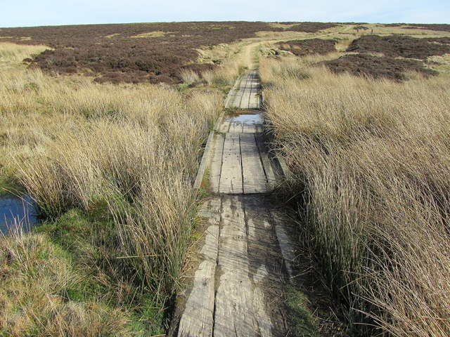
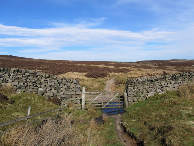
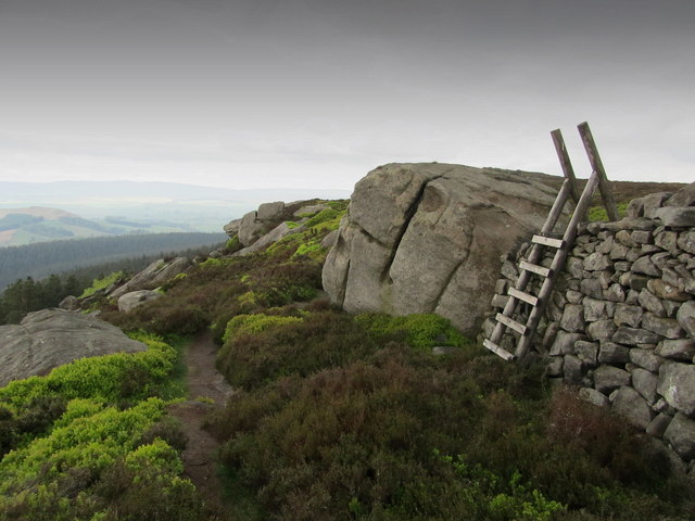
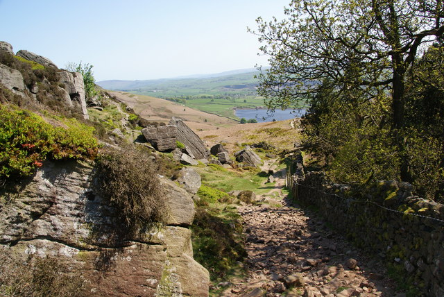
The wood is crisscrossed by a network of well-maintained footpaths, allowing visitors to explore its tranquil surroundings. These paths lead to several viewpoints within the wood, offering stunning vistas of the surrounding countryside and the nearby River Wharfe.

Sun Moor Wood is also home to a variety of bird species, including woodpeckers, owls, and warblers, making it a haven for birdwatchers. Additionally, the forest is inhabited by mammals such as deer, foxes, and badgers, which can occasionally be spotted by keen observers.

The wood is managed by the Yorkshire Wildlife Trust, who work to preserve its natural beauty and protect its wildlife. They also organize educational programs and events, allowing visitors to learn more about the importance of conservation and the unique ecosystem found within Sun Moor Wood.

Overall, Sun Moor Wood offers a serene and enchanting escape into nature, providing a haven for both wildlife and visitors alike.

If you have any feedback on the listing, please let us know in the comments section below.

Sun Moor Wood Images

Images are sourced within 2km of 54.005815/-2.0321266 or Grid Reference SD9756. Thanks to Geograph Open Source API. All images are credited.

Unusual Structure on Barden Moor Beside the track that leads from Embsay Reservoir onto Barden Moor is this structure that resembles a rondevaal - it actually belongs to the shooting fraternity, and is used as a base and shelter.
Unusual Structure on Barden Moor
Beside the track that leads from Embsay Reservoir onto Barden Moor is this structure that resembles a rondevaal - it actually belongs to the shooting fraternity, and is used as a base and shelter.
Crossing the Upper Reaches of Waterfall Gill On the track that runs north from Embsay Reservoir onto the large expanse of Barden Moor
Crossing the Upper Reaches of Waterfall Gill
On the track that runs north from Embsay Reservoir onto the large expanse of Barden Moor
Bridleway on Rylstone Fell Duckboards keep the feet dry as the bridleway crosses a marshy area on Rylstone Fell
Bridleway on Rylstone Fell
Duckboards keep the feet dry as the bridleway crosses a marshy area on Rylstone Fell
Gate leading onto Rylstone Fell Just below High Bark, the bridleway leads through this gate and heads east over lonely moorland to Halton Heights
Gate leading onto Rylstone Fell
Just below High Bark, the bridleway leads through this gate and heads east over lonely moorland to Halton Heights
Wall by Moorland above Waterfall Gill Stretch of wall and moorland just north of the chasm created by Waterfall Gill
Wall by Moorland above Waterfall Gill
Stretch of wall and moorland just north of the chasm created by Waterfall Gill
High Bark Craggy outcrops at the lip of the escarpment of Barden Moor, above Rylstone
High Bark
Craggy outcrops at the lip of the escarpment of Barden Moor, above Rylstone
Boulder and Stile on Cookrise Crags Stile and boulder perched upon the Barden Moor escarpment edge above Cookrise Crags
Boulder and Stile on Cookrise Crags
Stile and boulder perched upon the Barden Moor escarpment edge above Cookrise Crags
Cookrise Crag Rocky crags above Cookrise Wood, which mark the south western corner of the escarpment of Barden Moor.
Cookrise Crag
Rocky crags above Cookrise Wood, which mark the south western corner of the escarpment of Barden Moor.
The northern side of Rough Haw Beyond is Rylstone Fell.
The northern side of Rough Haw
Beyond is Rylstone Fell.
Cairn at the top of Rough Haw Rylstone Fell is behind.
Cairn at the top of Rough Haw
Rylstone Fell is behind.
Footpath at Saddle Holes This is a brief respite in the steady climb from Embsay Reservoir up to High Edge.
Footpath at Saddle Holes
This is a brief respite in the steady climb from Embsay Reservoir up to High Edge.
Looking down from Saddle Holes A path follows the wall from Crookrise Crag almost down to Embsay Reservoir which can be seen below.
Looking down from Saddle Holes
A path follows the wall from Crookrise Crag almost down to Embsay Reservoir which can be seen below.
Moorland on High Edge This is looking towards Harts Hills.
Moorland on High Edge
This is looking towards Harts Hills.
Above Crookrise Crag A superlative stretch of path with views to Flasby Fell and the Bowland hills in the far distance.
Above Crookrise Crag
A superlative stretch of path with views to Flasby Fell and the Bowland hills in the far distance.
Rock formations on Crookrise Crag In the far distance is Pendle Hill.
Rock formations on Crookrise Crag
In the far distance is Pendle Hill.
Crookrise Crag Top trig point A place you don't want to leave in a hurry.
Crookrise Crag Top trig point
A place you don't want to leave in a hurry.
The remains of a hut by Fairies Chest It is difficult to tell what these walls once were.
The remains of a hut by Fairies Chest
It is difficult to tell what these walls once were.
Waterfall Gill The beck at the bottom of this gill is the main tributary of Eller Beck.
Waterfall Gill
The beck at the bottom of this gill is the main tributary of Eller Beck.
Show me another place!

Sun Moor Wood is located at Grid Ref: SD9756 (Lat: 54.005815, Lng: -2.0321266)

Division: West Riding

Administrative County: North Yorkshire

District: Craven

Police Authority: North Yorkshire

What 3 Words

///budding.daffodils.erase. Near Embsay, North Yorkshire

Related Wikis

Cracoe

Cracoe is a small village and civil parish in the Craven district of North Yorkshire, England. It is situated near to Rylstone and about 6 miles south...
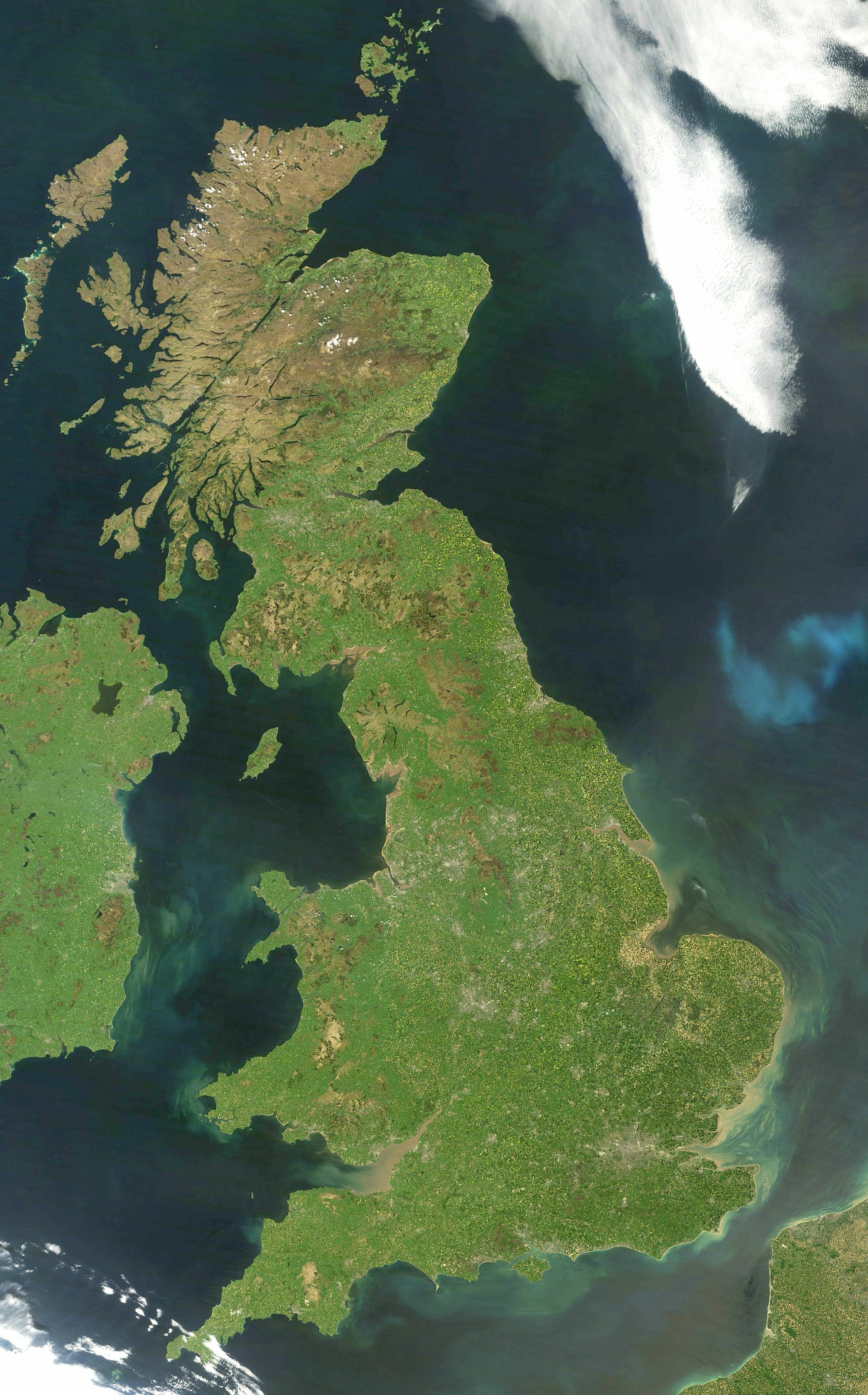
Great Britain

Great Britain is an island in the North Atlantic Ocean off the north-west coast of continental Europe, consisting of England, Scotland and Wales. With...

Yorkshire dialect

The Yorkshire dialect (also known as Broad Yorkshire, Tyke, Yorkie, or Yorkshire English) is a dialect of English, or continuum of dialects, spoken in...

Yorkshire

Yorkshire ( YORK-shər, -⁠sheer) is a historic county in Northern England and the largest by area size in the United Kingdom. Because of its large area...

Rylstone

Rylstone is a village and civil parish in the Craven district of North Yorkshire, England. It is situated very near to Cracoe and about 6 miles south west...

St Peter's Church, Rylstone

St Peter's Church is in the village of Rylstone, North Yorkshire, England. It is an active Anglican parish church in the deanery of Skipton, the archdeaconry...

Hetton, North Yorkshire

Hetton is a small Dales village in the civil parish of Hetton-cum-Bordley, in the North Yorkshire district of North Yorkshire, England, situated 5.75 miles...
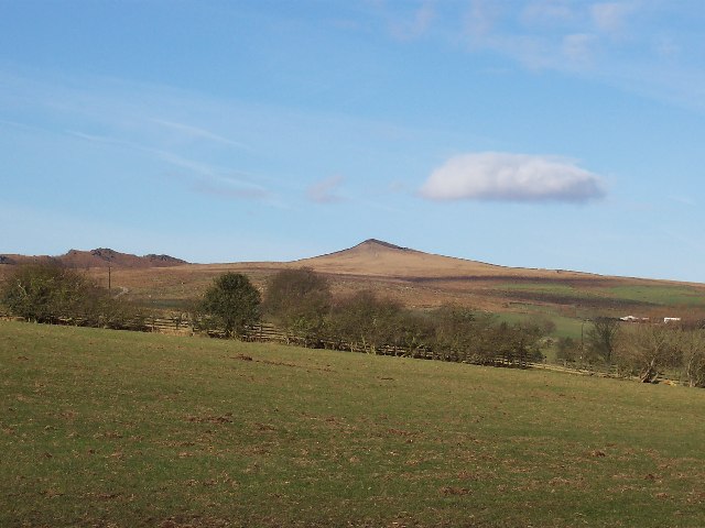
Sharp Haw

Sharp Haw is a hill on the southern edge of the Yorkshire Dales, located just within the National Park. Being the last outpost of the hills before the...

Nearby Amenities

Located within 500m of 54.005815,-2.0321266
Clifford's Tower
Alt Name: New Hall
Historic: archaeological_site
Source: OS 1:25k
Lat/Long: 54.0049096/-2.0257162
Norton Tower Hill
Natural: peak
Source: OS 1:25k
Lat/Long: 54.0080622/-2.0364129
Natural: peak
Source: EsriWorldImageryClarity
Lat/Long: 54.0101232/-2.0319225
Hellifield Point
Place: locality
Source: OS Yorkshire CLI.SW, publ 1909
Lat/Long: 54.0053821/-2.0287356
Power: pole
Lat/Long: 54.0061657/-2.0395812
Power: pole
Lat/Long: 54.0053523/-2.0392647
Power: pole
Lat/Long: 54.0036829/-2.0386103
The data included in this document is from www.openstreetmap.org. The data is made available under ODbL.

Have you been to Sun Moor Wood?

Leave your review of Sun Moor Wood below (or comments, questions and feedback).