Green's Wood

Wood, Forest in Worcestershire Wychavon

England

Green's Wood

Country road near Stock Green This road approaches a t-junction in a small hamlet which is not named on the OS map.
Country road near Stock Green Credit: Philip Halling

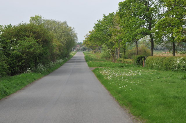
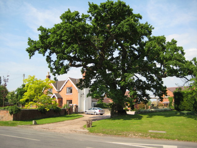
Green's Wood is a picturesque forest located in Worcestershire, England. Covering an area of approximately 100 acres, this woodland is renowned for its natural beauty and diverse ecosystem. The wood is situated in close proximity to the bustling town of Kidderminster, making it easily accessible for visitors.

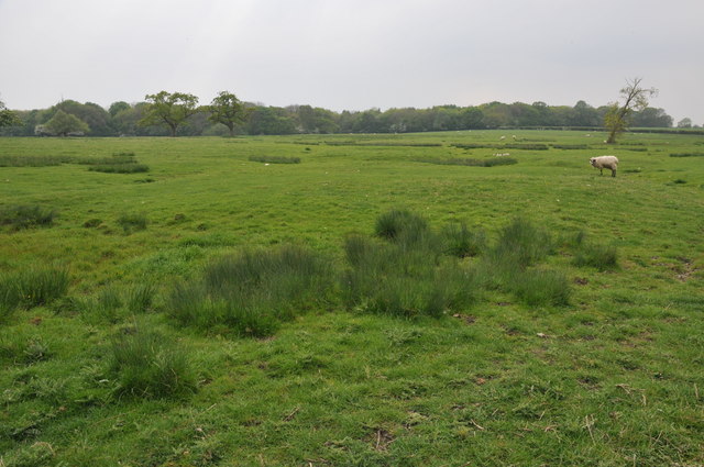
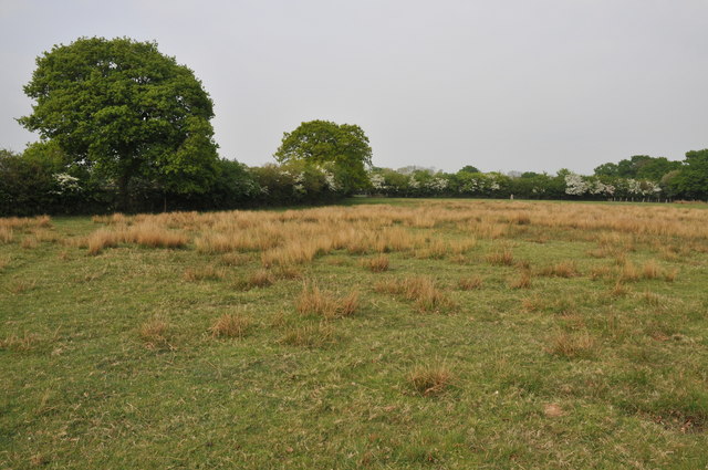
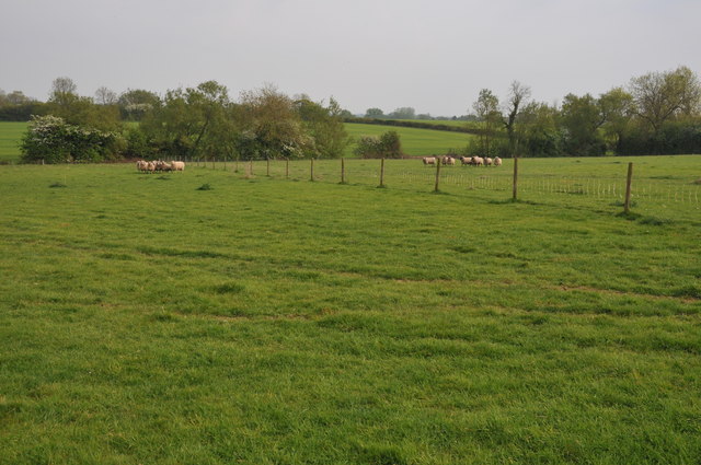
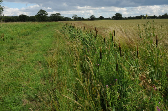
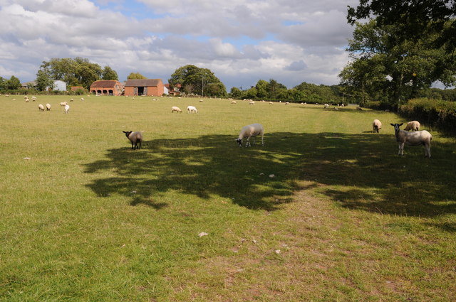
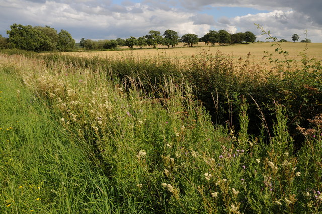
As one enters Green's Wood, they are greeted by a dense canopy of ancient oak and beech trees, which provide a sense of tranquility and seclusion. The forest floor is adorned with a vibrant carpet of wildflowers, ferns, and mosses, creating a rich and colorful undergrowth. This thriving habitat supports a wide array of wildlife, including various species of birds, squirrels, and deer.

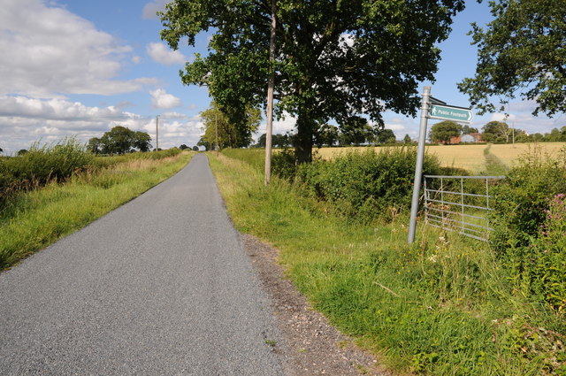
The wood features an extensive network of walking trails, allowing visitors to explore its enchanting surroundings at their own pace. These paths wind through the forest, leading to hidden clearings and secluded ponds, providing a haven for nature enthusiasts and photographers alike.

Green's Wood is also home to a diverse range of plant species, including rare and protected flora. Bluebells, primroses, and wood anemones are just a few examples of the stunning wildflowers that bloom here during the spring months, creating a mesmerizing spectacle of colors.

In addition to its natural beauty, Green's Wood holds historical significance. It is believed to have been part of the ancient Wyre Forest, which dates back centuries and has been mentioned in various historical records.

Overall, Green's Wood is a captivating destination that offers visitors a chance to immerse themselves in the beauty of nature and explore the rich biodiversity of Worcestershire.

If you have any feedback on the listing, please let us know in the comments section below.
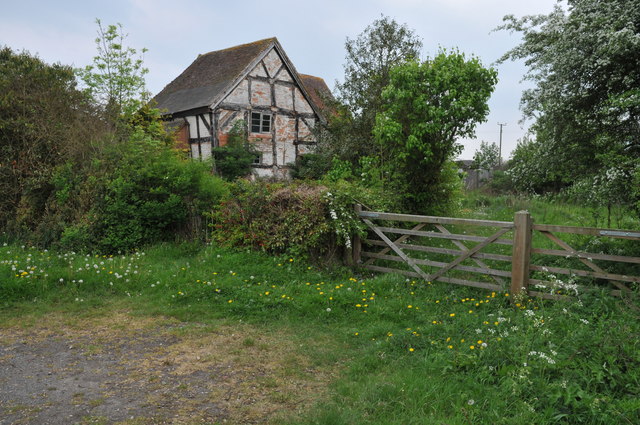
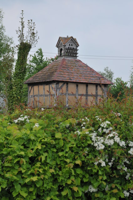
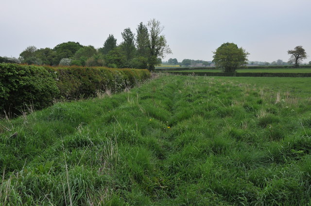
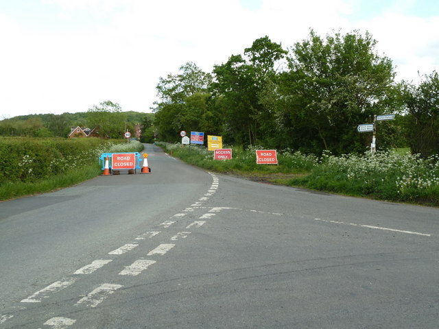
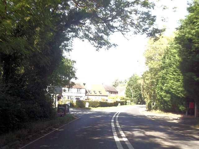
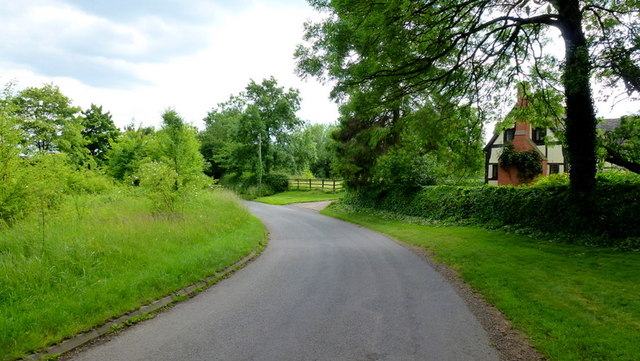
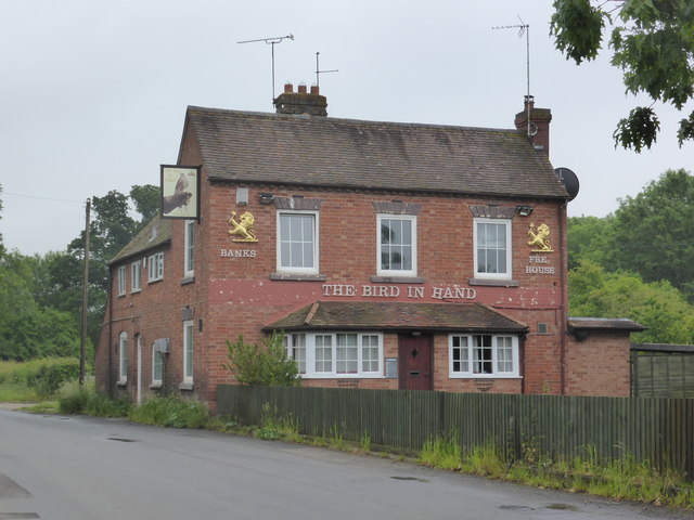
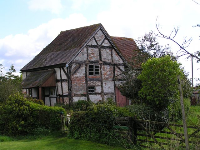
Green's Wood Images

Images are sourced within 2km of 52.219558/-2.0309139 or Grid Reference SO9757. Thanks to Geograph Open Source API. All images are credited.

Country road near Stock Green This road approaches a t-junction in a small hamlet which is not named on the OS map.
Country road near Stock Green
This road approaches a t-junction in a small hamlet which is not named on the OS map.
Farmland beside Grafton Wood On the far side of this field the Wychavon Way passes beside the Grafton Wood.
Farmland beside Grafton Wood
On the far side of this field the Wychavon Way passes beside the Grafton Wood.
Farmland near Stock Green At present this field is dry however the reeds suggest this field normally lies wet.
Farmland near Stock Green
At present this field is dry however the reeds suggest this field normally lies wet.
Bridleway to Upper Kite's Wood This bridleway passes Upper Kite's Wood and joins the Wychavon Way.
Bridleway to Upper Kite's Wood
This bridleway passes Upper Kite's Wood and joins the Wychavon Way.
Sheep near Cockshot Farm Sheep near Cockshot Farm near Kington.
Sheep near Cockshot Farm
Sheep near Cockshot Farm near Kington.
Old cottage at Dormston An old cottage in a sorry state beside the road to Dormston
Old cottage at Dormston
An old cottage in a sorry state beside the road to Dormston
Dovecot at Dormston Dovecot viewed from the road in Dormston.
Dovecot at Dormston
Dovecot viewed from the road in Dormston.
Bridleway at Dormston Bridleway from Dormston to Stock Green.
Bridleway at Dormston
Bridleway from Dormston to Stock Green.
The edge of Stock Green A road junction on the edge of Hollow Court but the signs proclaim this to be Stock Green. The road to the right goes to Grafton Flyford and Himbleton. The road ahead was closed for sewer works.
The edge of Stock Green
A road junction on the edge of Hollow Court but the signs proclaim this to be Stock Green. The road to the right goes to Grafton Flyford and Himbleton. The road ahead was closed for sewer works.
Bulrushes beside the Wychavon Way Bulrushes growing in a drainage channel beside a footpath which is marked on the OS map as the Wychavon Way though I believe it may have since been rerouted.
Bulrushes beside the Wychavon Way
Bulrushes growing in a drainage channel beside a footpath which is marked on the OS map as the Wychavon Way though I believe it may have since been rerouted.
Sheep and Hill Top Farm Sheep in a field with Hill Top Farm in the background.
Sheep and Hill Top Farm
Sheep in a field with Hill Top Farm in the background.
Roadside verge near Shell Summer growth on the road verge between Shell and Earl's Common.
Roadside verge near Shell
Summer growth on the road verge between Shell and Earl's Common.
Footpath to Hill Top Farm Two footpaths cross farmland to the right one of which leads to Hill Top Farm.
Footpath to Hill Top Farm
Two footpaths cross farmland to the right one of which leads to Hill Top Farm.
Cockshot Lane junction with A422
Lane to Grafton Flyford The cottage appears to keep an eye on the passing traffic, such as it is.
Lane to Grafton Flyford
The cottage appears to keep an eye on the passing traffic, such as it is.
Another closed public house - Stock Green The Bird in Hand is closed but still furnished. It doesn't look like anybody is living there either.
Another closed public house - Stock Green
The Bird in Hand is closed but still furnished. It doesn't look like anybody is living there either.
Army Surplus store at  Coneybury Farm I don't think the tank is for sale!
Army Surplus store at Coneybury Farm
I don't think the tank is for sale!
Old cottage near Dormston.
Show me another place!

Green's Wood is located at Grid Ref: SO9757 (Lat: 52.219558, Lng: -2.0309139)

Administrative County: Worcestershire

District: Wychavon

Police Authority: West Mercia

What 3 Words

///slams.headless.stay. Near Kington, Worcestershire

Related Wikis

Dormston

Dormston is a village and civil parish in Worcestershire about 3 miles (4.8 km) south of Redditch. == Name == Dormston's toponym has evolved from Deormodesealdtune...

Grafton Flyford

Grafton Flyford is a village about 6 miles (9.7 km) east of Worcester, in Worcestershire, England. It neighbours Stock Green, with the large farm house...

Grafton Wood

Grafton Wood is a nature reserve near the village of Grafton Flyford, about 6 miles (9.7 km) east of Worcester, in Worcestershire, England. == Description... ==

Kington, Worcestershire

Kington is a village in Worcestershire, England, situated near to Flyford Flavell. == History == The earliest known recording of Kington in the Domesday...

Little Inkberrow

Little Inkberrow is a village in Worcestershire, England. Ralph Ardern inherited the Worcestershire manor of Little Inkberrow between 1382 (the death...

Earls Common

Earls Common is a village in Worcestershire, England. Villages nearby include Himbleton and Stock Green.

North Piddle

North Piddle is a small civil parish in the Wychavon district of Worcestershire, England. It is located within a loop of Piddle Brook. North Piddle is...

Flyford Flavell

Flyford Flavell is a village in Worcestershire , it has a traditional pub in the centre of the village adjacent to the village green and a first school...

Nearby Amenities

Located within 500m of 52.219558,-2.0309139
Ballom Hill Cottage
Naptan AtcoCode: 2000G323425
Naptan Bearing: SE
Naptan BusStopType: CUS
Naptan CommonName: Ballom Hill Cottage
Naptan Indicator: Opp
Naptan Landmark: Green's Wood
Naptan NaptanCode: wocdpdpj
Naptan Street: Cockshot Lane
Naptan Verified: no
Source: naptan_import
Lat/Long: 52.2181226/-2.0328032
Ballom Hill Cottage
Naptan AtcoCode: 2000G675012
Naptan Bearing: NW
Naptan BusStopType: CUS
Naptan CommonName: Ballom Hill Cottage
Naptan Indicator: Adj
Naptan Landmark: Green's Wood
Naptan NaptanCode: wocgadmj
Naptan Street: Cockshot Lane
Naptan Verified: no
Source: naptan_import
Lat/Long: 52.2180326/-2.0330227
Barrier: stile
Foot: yes
Lat/Long: 52.2155717/-2.0298297
Power: pole
Lat/Long: 52.2159561/-2.0287297
Ballom Hill
Power: pole
Transformer: distribution
Voltage Primary: 11000
Lat/Long: 52.2173455/-2.0302404
Power: pole
Lat/Long: 52.217014/-2.0298851
Power: pole
Lat/Long: 52.2166537/-2.0295317
Power: pole
Lat/Long: 52.2163078/-2.029179
Power: pole
Lat/Long: 52.2156048/-2.0282791
Power: pole
Lat/Long: 52.2238686/-2.0297322
Power: pole
Lat/Long: 52.2233264/-2.0308922
Power: pole
Lat/Long: 52.2227997/-2.0322078
Nancys Cottage
Power: pole
Transformer: distribution
Voltage Primary: 11000
Lat/Long: 52.2200918/-2.0339533
Power: pole
Lat/Long: 52.2209775/-2.0338266
Power: pole
Lat/Long: 52.221744/-2.0337434
Power: pole
Lat/Long: 52.2224982/-2.0337099
Power: pole
Lat/Long: 52.2230606/-2.0351496
Power: pole
Lat/Long: 52.2225578/-2.0350483
Power: pole
Lat/Long: 52.222246/-2.034996
Power: pole
Lat/Long: 52.2218969/-2.0367924
The data included in this document is from www.openstreetmap.org. The data is made available under ODbL.

Have you been to Green's Wood?

Leave your review of Green's Wood below (or comments, questions and feedback).