King's Wood

Wood, Forest in Worcestershire Wychavon

England

King's Wood

Country road near Stock Green This road approaches a t-junction in a small hamlet which is not named on the OS map.
Country road near Stock Green Credit: Philip Halling

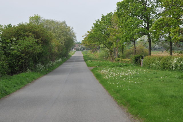
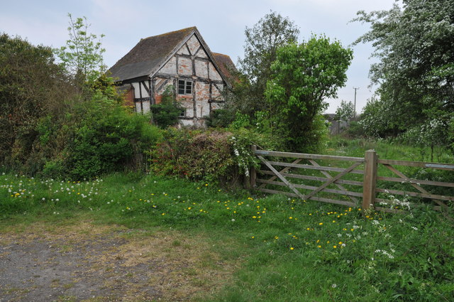
King's Wood is a picturesque forest located in Worcestershire, England. Spanning approximately 200 hectares, it is a significant natural attraction in the region. The wood is situated near the village of Wolverley and is managed by the Forestry Commission.

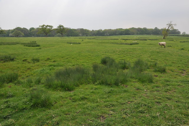
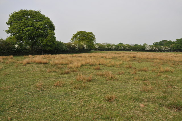
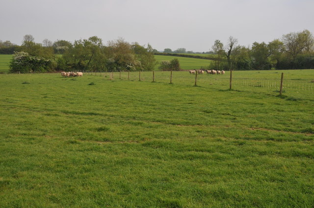
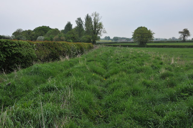
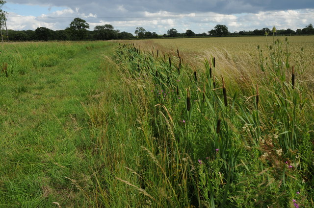
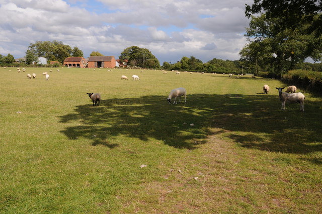
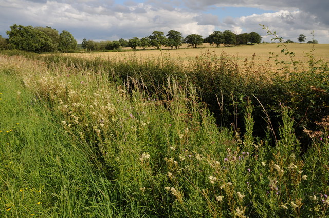
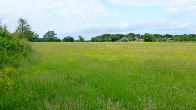
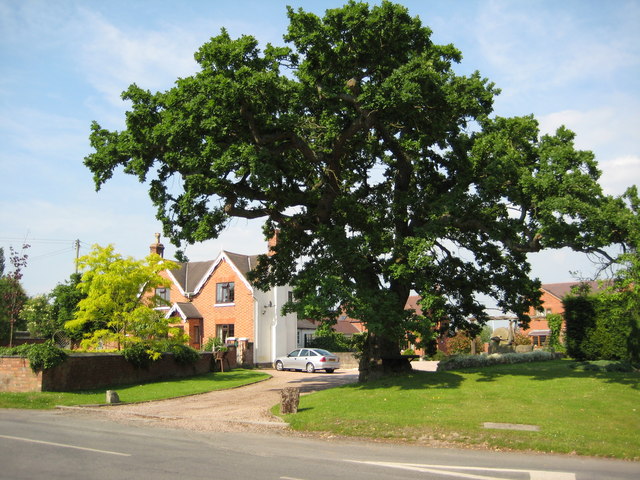
The woodland is characterized by its diverse range of tree species, including oak, birch, beech, and pine. These trees create a rich and vibrant ecosystem, providing habitats for a variety of wildlife such as deer, foxes, and numerous bird species. The wood is also home to several rare and protected species, adding to its ecological importance.

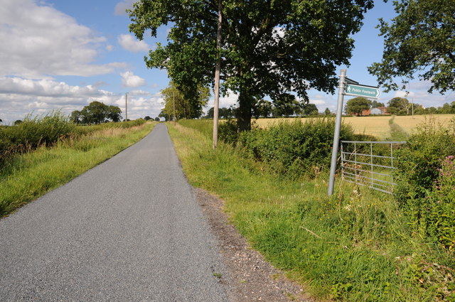
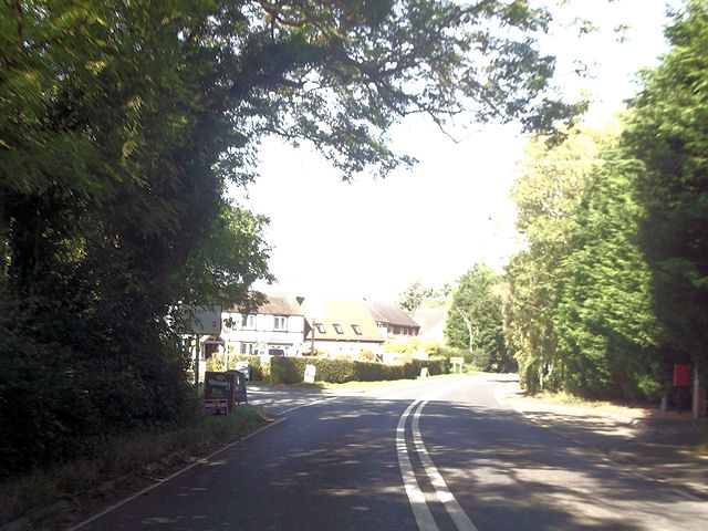
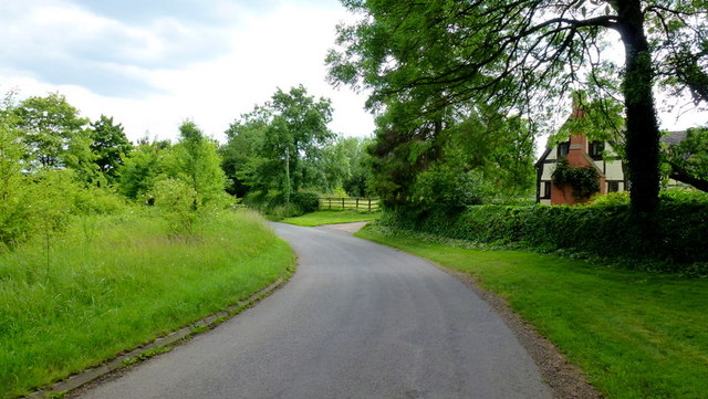
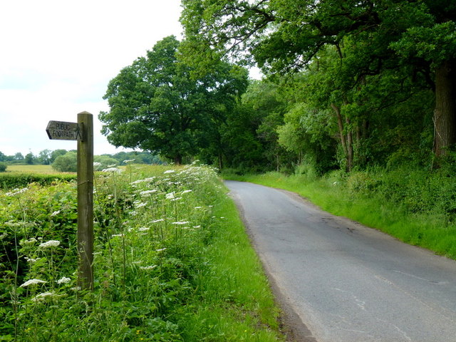
King's Wood offers visitors a tranquil and serene environment, perfect for leisurely walks and exploration. There are well-maintained paths throughout the forest, allowing visitors to fully immerse themselves in nature. The wood's dense foliage and towering trees provide ample shade during the summer months, making it an ideal spot for picnics and relaxation.

History enthusiasts will find interest in King's Wood as well. The site has a long history, dating back to medieval times when it was part of the royal hunting grounds. Remnants of ancient boundary features and earthworks can still be seen, adding a touch of mystery and intrigue to the wood.

Overall, King's Wood is a beloved natural treasure in Worcestershire, offering visitors a chance to connect with nature, explore its history, and enjoy the beauty and tranquility of a thriving woodland ecosystem.

If you have any feedback on the listing, please let us know in the comments section below.

King's Wood Images

Images are sourced within 2km of 52.217901/-2.0413198 or Grid Reference SO9757. Thanks to Geograph Open Source API. All images are credited.

Country road near Stock Green This road approaches a t-junction in a small hamlet which is not named on the OS map.
Country road near Stock Green
This road approaches a t-junction in a small hamlet which is not named on the OS map.
Farmland beside Grafton Wood On the far side of this field the Wychavon Way passes beside the Grafton Wood.
Farmland beside Grafton Wood
On the far side of this field the Wychavon Way passes beside the Grafton Wood.
Farmland near Stock Green At present this field is dry however the reeds suggest this field normally lies wet.
Farmland near Stock Green
At present this field is dry however the reeds suggest this field normally lies wet.
Bridleway to Upper Kite's Wood This bridleway passes Upper Kite's Wood and joins the Wychavon Way.
Bridleway to Upper Kite's Wood
This bridleway passes Upper Kite's Wood and joins the Wychavon Way.
Sheep near Cockshot Farm Sheep near Cockshot Farm near Kington.
Sheep near Cockshot Farm
Sheep near Cockshot Farm near Kington.
Old cottage at Dormston An old cottage in a sorry state beside the road to Dormston
Old cottage at Dormston
An old cottage in a sorry state beside the road to Dormston
Dovecot at Dormston Dovecot viewed from the road in Dormston.
Dovecot at Dormston
Dovecot viewed from the road in Dormston.
Bridleway at Dormston Bridleway from Dormston to Stock Green.
Bridleway at Dormston
Bridleway from Dormston to Stock Green.
The edge of Stock Green A road junction on the edge of Hollow Court but the signs proclaim this to be Stock Green. The road to the right goes to Grafton Flyford and Himbleton. The road ahead was closed for sewer works.
The edge of Stock Green
A road junction on the edge of Hollow Court but the signs proclaim this to be Stock Green. The road to the right goes to Grafton Flyford and Himbleton. The road ahead was closed for sewer works.
Bulrushes beside the Wychavon Way Bulrushes growing in a drainage channel beside a footpath which is marked on the OS map as the Wychavon Way though I believe it may have since been rerouted.
Bulrushes beside the Wychavon Way
Bulrushes growing in a drainage channel beside a footpath which is marked on the OS map as the Wychavon Way though I believe it may have since been rerouted.
Sheep and Hill Top Farm Sheep in a field with Hill Top Farm in the background.
Sheep and Hill Top Farm
Sheep in a field with Hill Top Farm in the background.
Roadside verge near Shell Summer growth on the road verge between Shell and Earl's Common.
Roadside verge near Shell
Summer growth on the road verge between Shell and Earl's Common.
Footpath to Hill Top Farm Two footpaths cross farmland to the right one of which leads to Hill Top Farm.
Footpath to Hill Top Farm
Two footpaths cross farmland to the right one of which leads to Hill Top Farm.
Cockshot Lane junction with A422
Lane to Grafton Flyford The cottage appears to keep an eye on the passing traffic, such as it is.
Lane to Grafton Flyford
The cottage appears to keep an eye on the passing traffic, such as it is.
Lane alongside Rabbit Wood Looking north towards Himbleton.
Lane alongside Rabbit Wood
Looking north towards Himbleton.
Footpath across pasture to Saldons Farm This scene is not surprisingly very similar to <a href="https://www.geograph.org.uk/photo/846703">SO9558 : Saldons Farm, near Himbleton</a> taken 5 years previously.
Footpath across pasture to Saldons Farm
This scene is not surprisingly very similar to SO9558 : Saldons Farm, near Himbleton taken 5 years previously.
Army Surplus store at  Coneybury Farm I don't think the tank is for sale!
Army Surplus store at Coneybury Farm
I don't think the tank is for sale!
Show me another place!

King's Wood is located at Grid Ref: SO9757 (Lat: 52.217901, Lng: -2.0413198)

Administrative County: Worcestershire

District: Wychavon

Police Authority: West Mercia

What 3 Words

///papers.flitting.decks. Near Kington, Worcestershire

Related Wikis

Grafton Flyford

Grafton Flyford is a village about 6 miles (9.7 km) east of Worcester, in Worcestershire, England. It neighbours Stock Green, with the large farm house...

Dormston

Dormston is a village and civil parish in Worcestershire about 3 miles (4.8 km) south of Redditch. == Name == Dormston's toponym has evolved from Deormodesealdtune...

Grafton Wood

Grafton Wood is a nature reserve near the village of Grafton Flyford, about 6 miles (9.7 km) east of Worcester, in Worcestershire, England. == Description... ==

Earls Common

Earls Common is a village in Worcestershire, England. Villages nearby include Himbleton and Stock Green.

North Piddle

North Piddle is a small civil parish in the Wychavon district of Worcestershire, England. It is located within a loop of Piddle Brook. North Piddle is...

Kington, Worcestershire

Kington is a village in Worcestershire, England, situated near to Flyford Flavell. == History == The earliest known recording of Kington in the Domesday...

Himbleton

Himbleton is a village in Worcestershire, England. It lies about 5 miles (8.0 km) south-east of Droitwich and 7.5 miles (12.1 km) north-east of Worcester...

Flyford Flavell

Flyford Flavell is a village in Worcestershire , it has a traditional pub in the centre of the village adjacent to the village green and a first school...

Nearby Amenities

Located within 500m of 52.217901,-2.0413198
Power: pole
Lat/Long: 52.2203613/-2.0440732
Power: pole
Lat/Long: 52.2202565/-2.0418303
Power: pole
Lat/Long: 52.2204258/-2.0454227
Power: pole
Lat/Long: 52.2204828/-2.0469972
Ford: yes
Lat/Long: 52.2162615/-2.0420726
Hill Top Farm
Power: pole
Transformer: distribution
Voltage Primary: 11000
Lat/Long: 52.2212067/-2.0435174
Power: pole
Lat/Long: 52.2207976/-2.0439854
Jaspers Farm
Power: pole
Transformer: distribution
Voltage Primary: 11000
Lat/Long: 52.2145564/-2.0450972
Power: pole
Lat/Long: 52.2143066/-2.0457383
Power: pole
Lat/Long: 52.2216598/-2.0380189
Power: pole
Lat/Long: 52.2212622/-2.0390817
Power: pole
Lat/Long: 52.2207483/-2.0404701
The data included in this document is from www.openstreetmap.org. The data is made available under ODbL.

Have you been to King's Wood?

Leave your review of King's Wood below (or comments, questions and feedback).