Scar Gill Wood
Wood, Forest in Yorkshire Craven
England
Scar Gill Wood
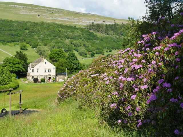
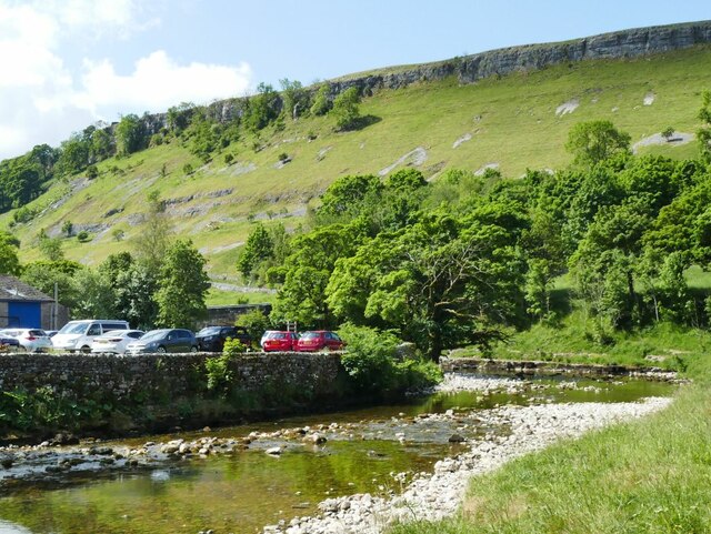
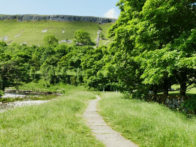
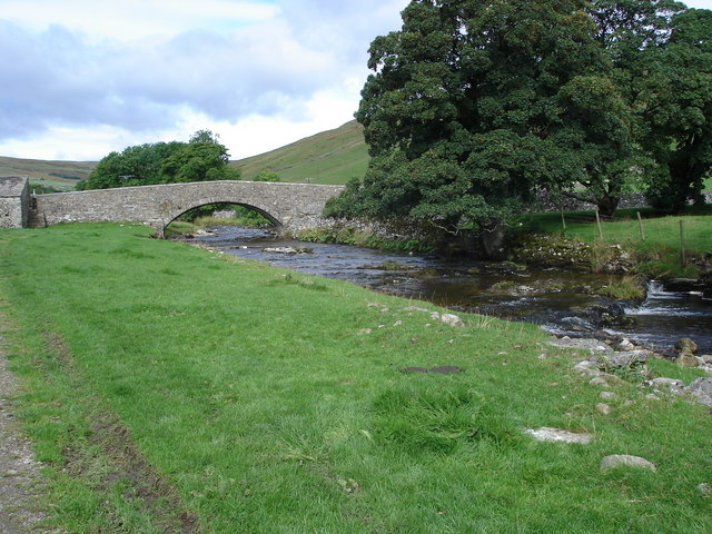
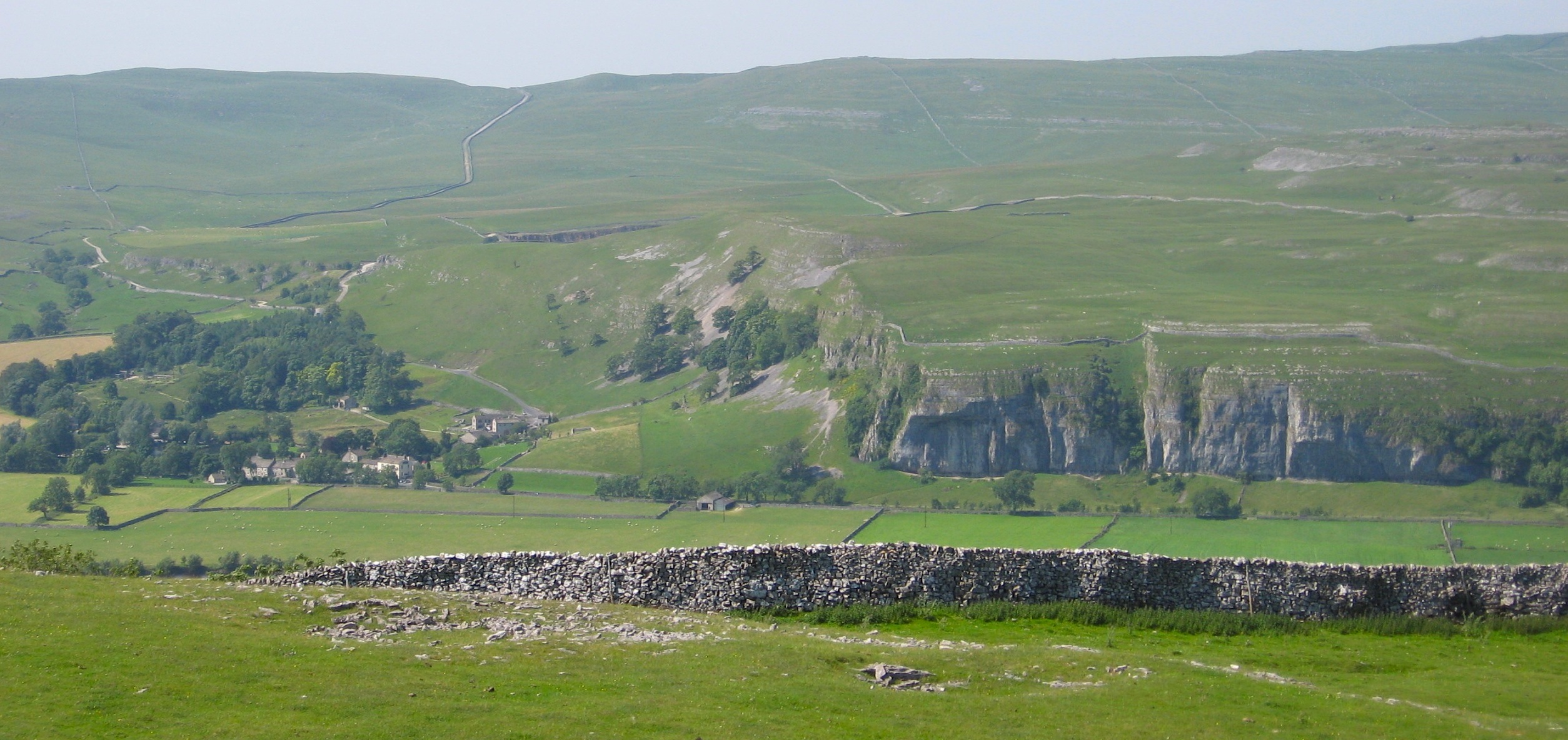
Scar Gill Wood is a picturesque woodland located in Yorkshire, England. Stretching over an area of approximately 300 acres, it is nestled within the beautiful Nidderdale Area of Outstanding Natural Beauty. The wood is characterized by its diverse range of flora and fauna, making it a haven for nature enthusiasts and wildlife lovers.
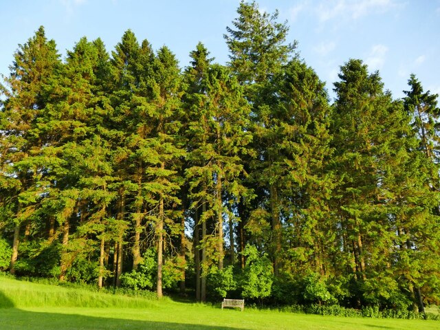
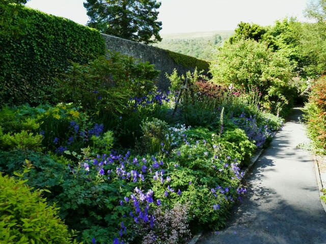
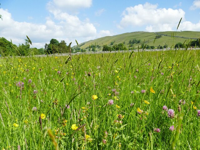
The wood is predominantly composed of native broadleaf species, including oak, beech, and ash trees, which create a dense and vibrant canopy. Beneath this leafy umbrella, a rich understory of ferns, mosses, and wildflowers thrives, adding to the wood's natural beauty.
Scar Gill Wood is home to a plethora of wildlife, including various bird species such as woodpeckers, owls, and warblers. The wood also provides a habitat for mammals such as badgers, foxes, and deer, which can occasionally be spotted roaming through the trees.
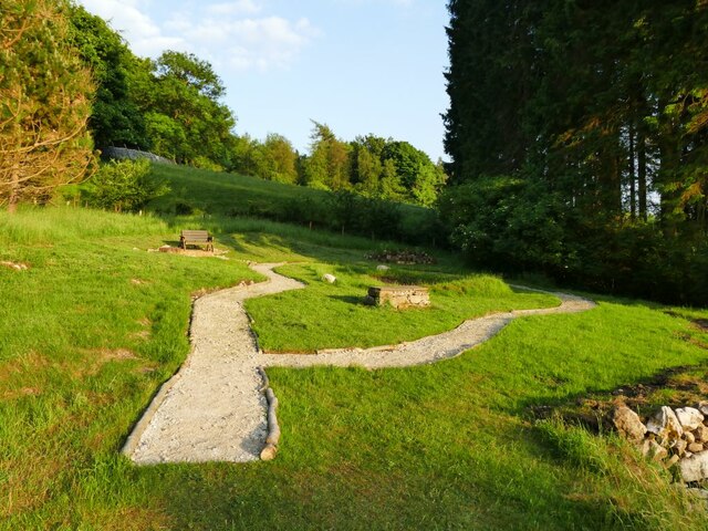
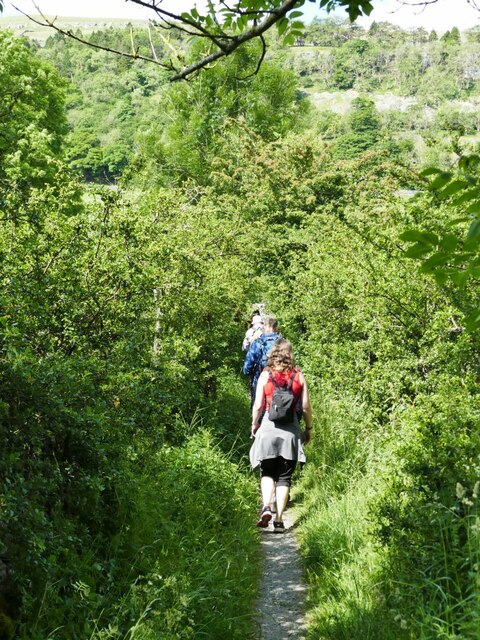
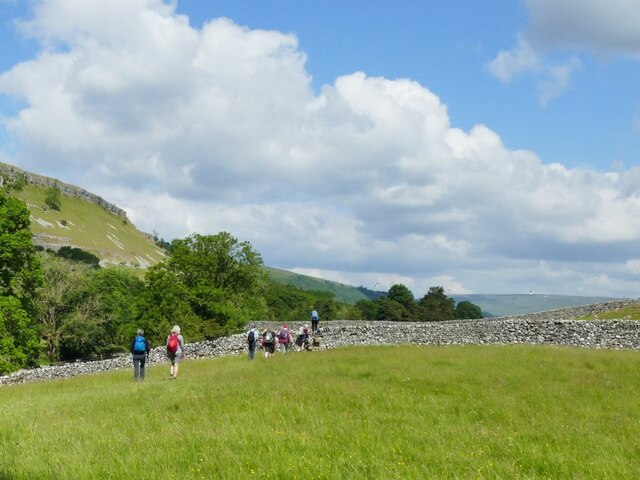
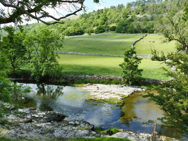
The wood is crisscrossed with a network of walking trails, allowing visitors to explore its enchanting beauty. These paths wind through the wood, passing by babbling brooks, trickling waterfalls, and serene ponds. The tranquil atmosphere and stunning scenery make it a popular destination for walkers, hikers, and nature photographers.
Scar Gill Wood is managed by a local conservation organization, which works tirelessly to protect its natural heritage and promote sustainable practices. As a result, the wood remains a well-preserved and untouched gem, offering visitors a truly authentic experience of Yorkshire's woodland beauty.
If you have any feedback on the listing, please let us know in the comments section below.
Scar Gill Wood Images
Images are sourced within 2km of 54.137078/-2.0344635 or Grid Reference SD9771. Thanks to Geograph Open Source API. All images are credited.
Scar Gill Wood is located at Grid Ref: SD9771 (Lat: 54.137078, Lng: -2.0344635)
Division: West Riding
Administrative County: North Yorkshire
District: Craven
Police Authority: North Yorkshire
What 3 Words
///legend.cunning.shuttling. Near Grassington, North Yorkshire
Nearby Locations
Related Wikis

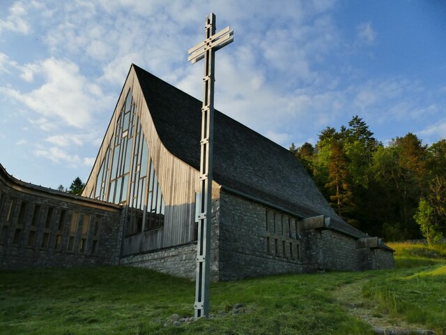
Scargill House
Scargill House is a Christian conference Centre run by the Scargill Movement and located in Wharfedale, in the county of North Yorkshire, England. Scargill...

Kettlewell
Kettlewell is a village in Upper Wharfedale, North Yorkshire, England. Historically part of the West Riding of Yorkshire, it lies 6 miles (10 km) north...

Langcliffe Pot
Langcliffe Pot is a cave system on the slopes of Great Whernside in Upper Wharfedale, about 3 kilometres (1.9 mi) SSE of Kettlewell in North Yorkshire...
River Skirfare
River Skirfare is a small river in North Yorkshire, England, that flows through Littondale and ends where it joins the larger River Wharfe. The source...

Hawkswick
Hawkswick is a hamlet and civil parish in the Craven district of North Yorkshire, England. Situated in the Yorkshire Dales, it lies in Littondale on the...
Kettlewell with Starbotton
Kettlewell with Starbotton is a civil parish in the Craven district of North Yorkshire, England. Kettlewell is a village in Upper Wharfedale, North Yorkshire...
Kilnsey
Kilnsey is a small village in Wharfedale, North Yorkshire, England. It lies on the B6160 road, between the villages of Grassington and Kettlewell, near...

Great Whernside
Great Whernside is a fell in the Yorkshire Dales, England, not to be confused with Whernside, some 17 miles (27 km) to the west. Its summit is the highest...
Related Videos
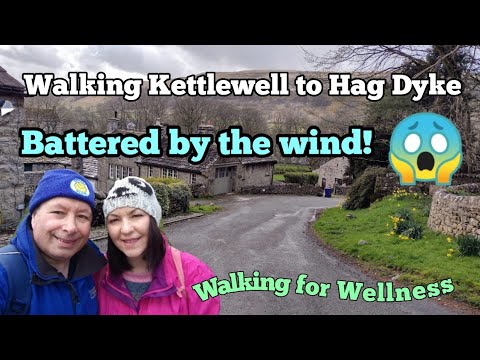
Walking Kettlewell to Hag Dyke and we get caught in some very strong winds! #ellofawalk #yorkshire
We take a grueling walk that is constantly uphill to Hag Dyke approx 1533 feet above the lovely village of Kettlewell in the ...
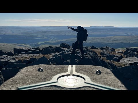
Buckden to Kettlewell via Buckden Pike and Great Whernside
Walking from Buckden to Kettlewell via the summits of Buckden Pike (702m) and Great Whernside (704m). A beautiful day up on ...

out alone again in Yorkshire Dale's. #vanlifeuk #vanlifescotland
Yorkshire Dale's vanlife stop out at Kettlewell. #vanlifeuk.
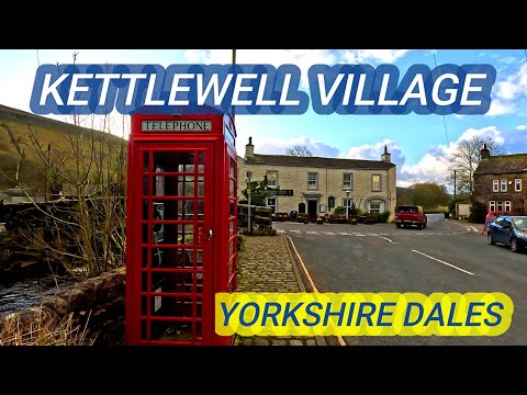
Kettlewell Village in Yorkshire Dales England Walking video
Kettlewell is a village in Upper Wharfedale, North Yorkshire, England. Historically part of the West Riding of Yorkshire, it lies 6 ...
Nearby Amenities
Located within 500m of 54.137078,-2.0344635Have you been to Scar Gill Wood?
Leave your review of Scar Gill Wood below (or comments, questions and feedback).