Gain Bank Wood
Wood, Forest in Yorkshire Craven
England
Gain Bank Wood
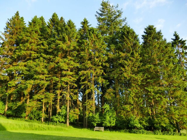
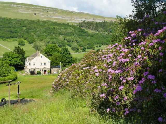
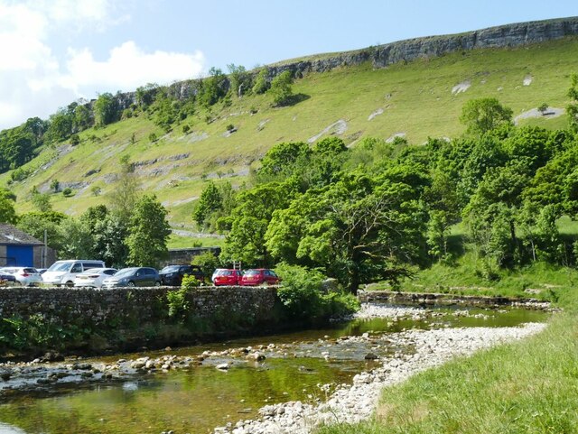
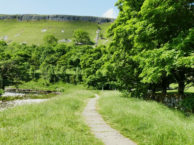
Gain Bank Wood is a picturesque woodland located in the Yorkshire Dales National Park, in the county of Yorkshire, England. Covering an area of approximately 100 acres, this enchanting forest is characterized by its diverse range of plant and animal species, making it a haven for nature lovers and wildlife enthusiasts.
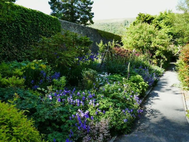
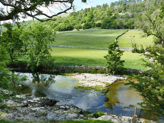
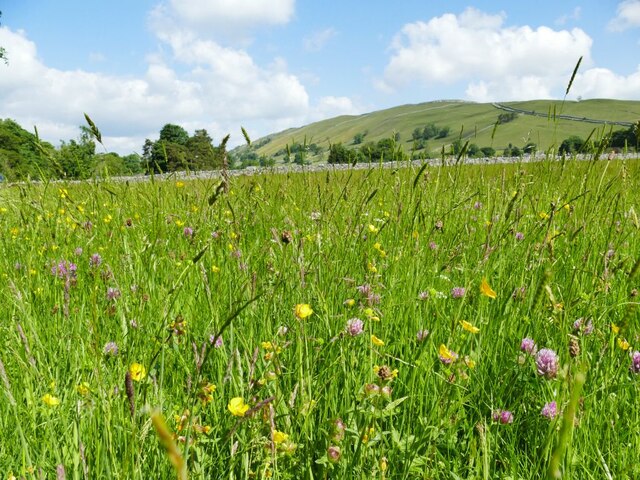
The woodland is primarily composed of deciduous trees, including oak, beech, and birch, which provide a vibrant display of colors during autumn. The forest floor is adorned with a rich carpet of bluebells and wildflowers in the spring, creating a stunning sight for visitors.
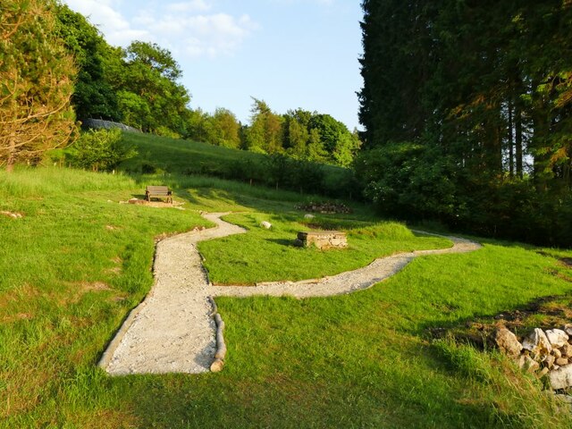
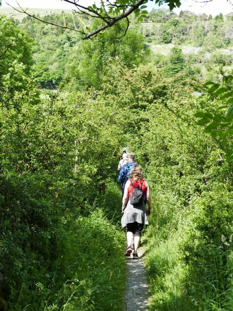
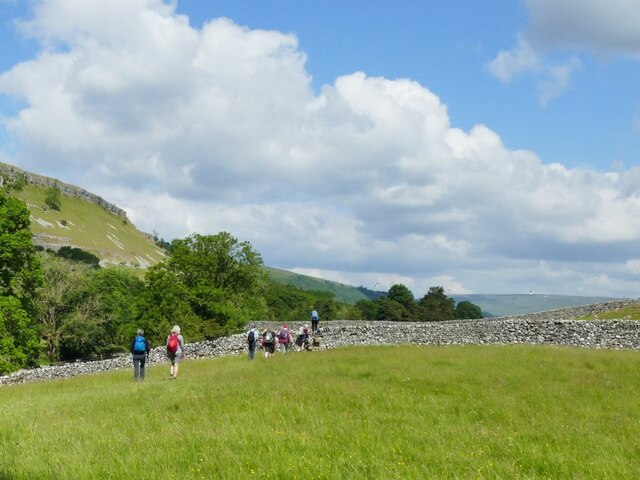
Tranquil walking trails meander through the wood, allowing visitors to explore its beauty and serenity. These paths are well-maintained and suitable for all fitness levels, offering opportunities for leisurely strolls or more challenging hikes. Along the way, visitors may come across charming picnic spots nestled amidst the trees, providing the perfect setting for a peaceful outdoor lunch.
Birdwatchers will be delighted by the variety of avian species that call Gain Bank Wood home. From woodpeckers and owls to songbirds and birds of prey, the forest is a haven for birdlife. Lucky visitors may even catch a glimpse of elusive mammals such as deer, foxes, and badgers.
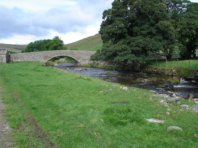
In addition to its natural beauty, Gain Bank Wood holds historical significance, with traces of ancient settlements and remnants of old stone walls still visible. These historical features add an intriguing element to the woodland, inviting visitors to delve into its past.
Overall, Gain Bank Wood offers a captivating blend of natural beauty, wildlife, and history, making it a must-visit destination for those seeking solace in the great outdoors.
If you have any feedback on the listing, please let us know in the comments section below.
Gain Bank Wood Images
Images are sourced within 2km of 54.141112/-2.0361506 or Grid Reference SD9771. Thanks to Geograph Open Source API. All images are credited.
Gain Bank Wood is located at Grid Ref: SD9771 (Lat: 54.141112, Lng: -2.0361506)
Division: West Riding
Administrative County: North Yorkshire
District: Craven
Police Authority: North Yorkshire
What 3 Words
///tailed.renovated.procures. Near Grassington, North Yorkshire
Nearby Locations
Related Wikis

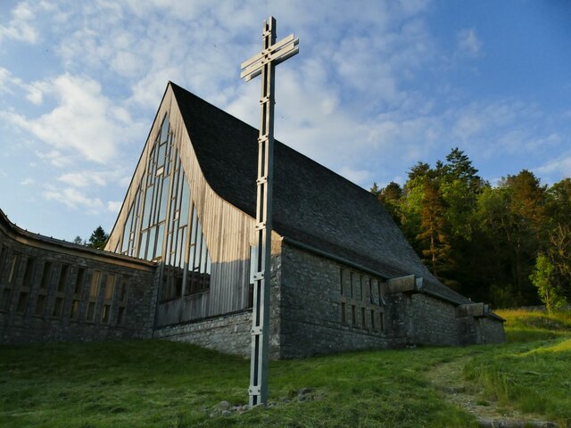
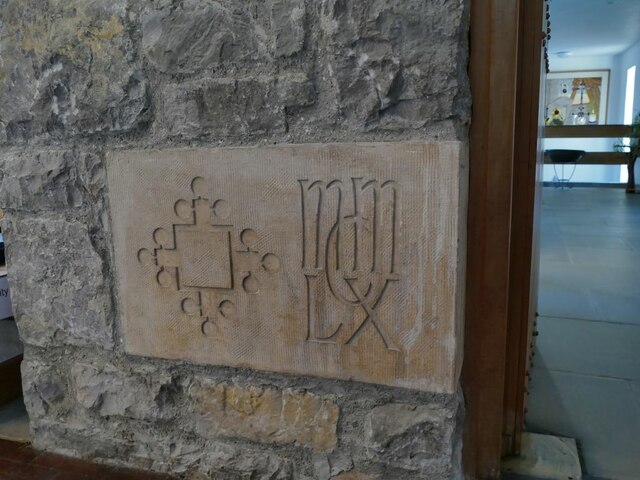
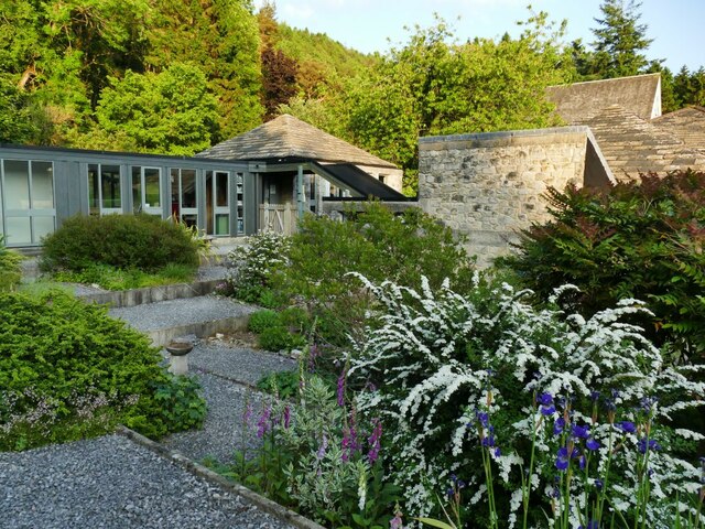
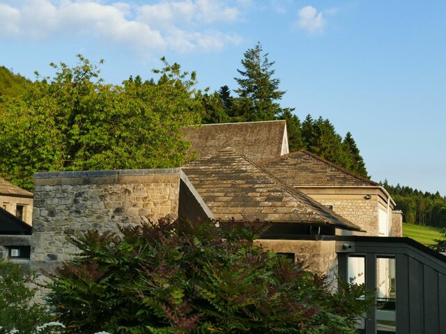
Scargill House
Scargill House is a Christian conference Centre run by the Scargill Movement and located in Wharfedale, in the county of North Yorkshire, England. Scargill...

Kettlewell
Kettlewell is a village in Upper Wharfedale, North Yorkshire, England. Historically part of the West Riding of Yorkshire, it lies 6 miles (10 km) north...

Langcliffe Pot
Langcliffe Pot is a cave system on the slopes of Great Whernside in Upper Wharfedale, about 3 kilometres (1.9 mi) SSE of Kettlewell in North Yorkshire...
River Skirfare
River Skirfare is a small river in North Yorkshire, England, that flows through Littondale and ends where it joins the larger River Wharfe. The source...

Hawkswick
Hawkswick is a hamlet and civil parish in the Craven district of North Yorkshire, England. Situated in the Yorkshire Dales, it lies in Littondale on the...
Kettlewell with Starbotton
Kettlewell with Starbotton is a civil parish in the Craven district of North Yorkshire, England. Kettlewell is a village in Upper Wharfedale, North Yorkshire...

Great Whernside
Great Whernside is a fell in the Yorkshire Dales, England, not to be confused with Whernside, some 17 miles (27 km) to the west. Its summit is the highest...

Starbotton
Starbotton is a village of around 60 houses in Upper Wharfedale in the Craven district of North Yorkshire, England. It is situated in the Yorkshire Dales...
Nearby Amenities
Located within 500m of 54.141112,-2.0361506Have you been to Gain Bank Wood?
Leave your review of Gain Bank Wood below (or comments, questions and feedback).