Burnt Covert

Wood, Forest in Wiltshire Cotswold

England

Burnt Covert

Crossing the Thames at Parker's Bridge On the road between Ewen and Kemble.
Crossing the Thames at Parker's Bridge Credit: Robin Webster

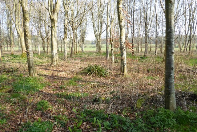
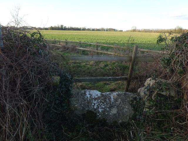
Burnt Covert is a small woodland located in the county of Wiltshire, England. Situated in the southern part of the county, it covers an area of approximately 20 acres. The woodland is part of a larger forested area known as Burnt Forest, which spans across several towns and villages in the region.

As its name suggests, Burnt Covert has a fascinating history. The woodland was once severely affected by a fire in the late 19th century, hence the name "Burnt." However, despite the devastation caused by the fire, the area has since regenerated and now boasts a dense and diverse collection of trees and plant species.

The woodland is primarily composed of deciduous trees, including oak, beech, and ash, which provide a rich habitat for various wildlife. The forest floor is covered with a thick carpet of mosses, ferns, and wildflowers, creating a vibrant and picturesque setting.

Burnt Covert is a popular destination for nature enthusiasts, hikers, and birdwatchers. The tranquil atmosphere and scenic beauty of the woodland make it an ideal spot for leisurely walks and picnics. The forest is home to a variety of bird species, such as woodpeckers, thrushes, and owls, making it a haven for birdwatching enthusiasts.

Managed by the local authorities, Burnt Covert is well-maintained, with designated trails and signposts for visitors to explore the woodland safely. The forest also plays an essential role in preserving the ecological balance of the region, providing a sanctuary for wildlife and contributing to the overall biodiversity of Wiltshire.

If you have any feedback on the listing, please let us know in the comments section below.
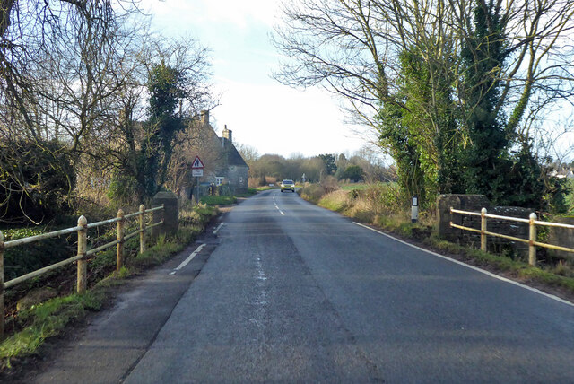
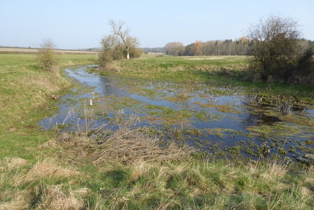
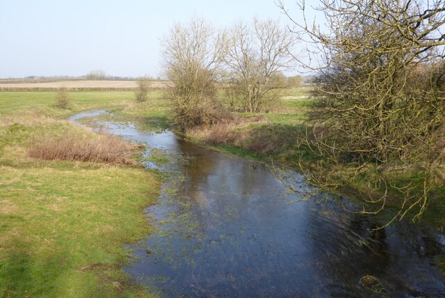
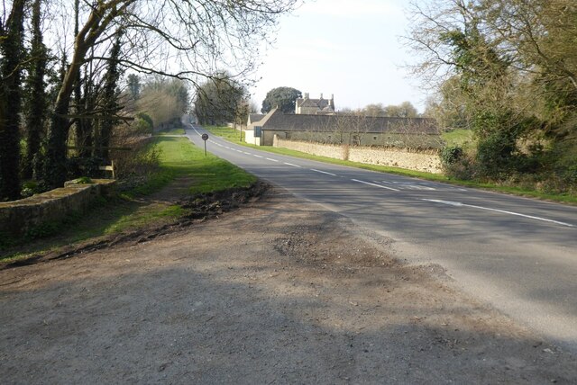
Burnt Covert Images

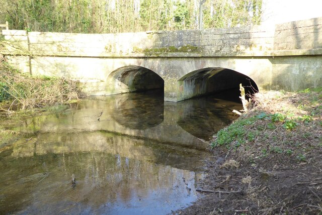
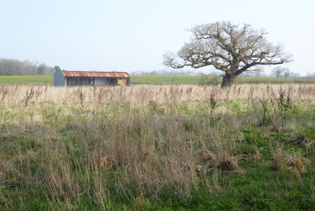
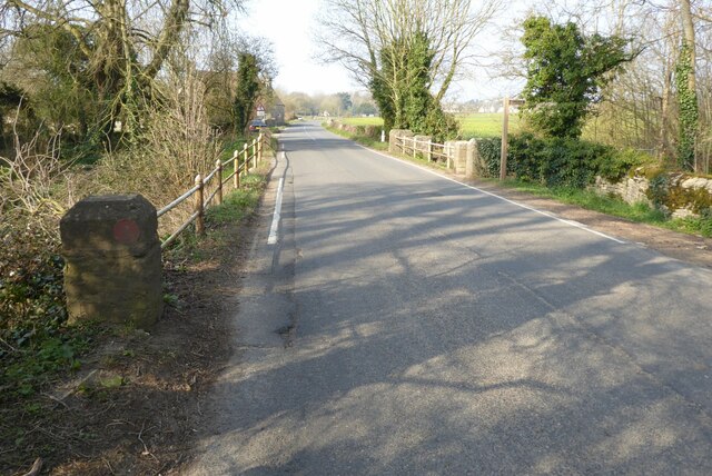
Images are sourced within 2km of 51.679176/-2.0327687 or Grid Reference ST9797. Thanks to Geograph Open Source API. All images are credited.

Crossing the Thames at Parker's Bridge On the road between Ewen and Kemble.
Crossing the Thames at Parker's Bridge
On the road between Ewen and Kemble.
House on West Lane, Kemble Looking from School Road.
House on West Lane, Kemble
Looking from School Road.
Road from Kemble towards Tarlton
Lane towards Tarlton Looking across the A433. The lane is lined with trees all the way to Tarlton.
Lane towards Tarlton
Looking across the A433. The lane is lined with trees all the way to Tarlton.
Lane towards Tarlton
Sheep grazing north of Kemble
The River Thames The River Thames near its source at Kemble.
The River Thames
The River Thames near its source at Kemble.
The River Thames The River Thames viewed from the bridge carrying the A429 near the village of Kemble.
The River Thames
The River Thames viewed from the bridge carrying the A429 near the village of Kemble.
The A429 at Kemble The A429 at Kemble where it crosses the infant River Thames.
The A429 at Kemble
The A429 at Kemble where it crosses the infant River Thames.
Bridge over the River Thames A bridge over the River Thames carrying the A429.
Bridge over the River Thames
A bridge over the River Thames carrying the A429.
Trees beside the River Thames Trees beside the River Thames between the villages of Kemble and Ewen.
Trees beside the River Thames
Trees beside the River Thames between the villages of Kemble and Ewen.
Barn in farmland A barn and trees in farmland beside the River Thames near the village of Ewen.
Barn in farmland
A barn and trees in farmland beside the River Thames near the village of Ewen.
Road crossing Parker's Bridge Road crossing Parker's Bridge near the village of Ewen.  The footpath sign is marking the route of the Thames Path.  The River Thames flows under this bridge.
Road crossing Parker's Bridge
Road crossing Parker's Bridge near the village of Ewen. The footpath sign is marking the route of the Thames Path. The River Thames flows under this bridge.
Train in Kemble Station A GWR Hitachi Class 800 train in Kemble Station
Train in Kemble Station
A GWR Hitachi Class 800 train in Kemble Station
A Swindon-bound train A Swindon-bound train entering Kemble Station.
A Swindon-bound train
A Swindon-bound train entering Kemble Station.
Kemble Station Part of the car park in front of Kemble Station.
Kemble Station
Part of the car park in front of Kemble Station.
Stone Stile, Kemble This is the view looking NW from School Road, East of Parkers Bridge (River Thames). The view SE is <a href="https://www.geograph.org.uk/photo/7157003">ST9997 : Stone Stile, Kemble</a>.
Stone Stile, Kemble
This is the view looking NW from School Road, East of Parkers Bridge (River Thames). The view SE is ST9997 : Stone Stile, Kemble.
Stone Stile, Kemble This is the view looking SE to School Road, East of Parkers Bridge (River Thames). The view NW looking in is <a href="https://www.geograph.org.uk/photo/7157002">ST9997 : Stone Stile, Kemble</a>.
Stone Stile, Kemble
This is the view looking SE to School Road, East of Parkers Bridge (River Thames). The view NW looking in is ST9997 : Stone Stile, Kemble.
Show me another place!

Burnt Covert is located at Grid Ref: ST9797 (Lat: 51.679176, Lng: -2.0327687)

Administrative County: Gloucestershire

District: Cotswold

Police Authority: Gloucestershire

What 3 Words

///daffodils.else.annual. Near Coates, Gloucestershire

Related Wikis

Kemble railway station

Kemble railway station is a railway station that serves the village of Kemble in Gloucestershire, England. The station is on the Swindon to Gloucester...

Kemble Railway Cuttings

Kemble Railway Cuttings (ST975976 & ST985973 & ST982989) is a 2.72-hectare (6.7-acre) geological Site of Special Scientific Interest in Gloucestershire...

Tetbury Road railway station

Tetbury Road railway station was built by the Cheltenham & Great Western Union Railway to serve the Gloucestershire villages of Kemble and Coates, and...

Kemble, Gloucestershire

Kemble is a village in the civil parish of Kemble and Ewen, in the Cotswold district of Gloucestershire, England. Historically part of Wiltshire, it lies...

Nearby Amenities

Located within 500m of 51.679176,-2.0327687
Material: wood
Power: pole
Source: bing
Lat/Long: 51.6799932/-2.0264612
Material: wood
Power: pole
Source: bing
Lat/Long: 51.6809212/-2.02797
Power: pole
Source: bing
Lat/Long: 51.6813603/-2.0299816
Power: pole
Source: bing
Lat/Long: 51.681776/-2.0319195
Power: pole
Source: bing
Lat/Long: 51.6822126/-2.0339164
Power: pole
Source: bing
Lat/Long: 51.6826267/-2.0358261
The data included in this document is from www.openstreetmap.org. The data is made available under ODbL.

Have you been to Burnt Covert?

Leave your review of Burnt Covert below (or comments, questions and feedback).