The Rookery
Wood, Forest in Wiltshire
England
The Rookery
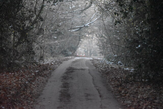
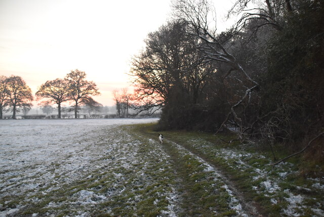
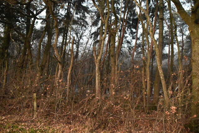
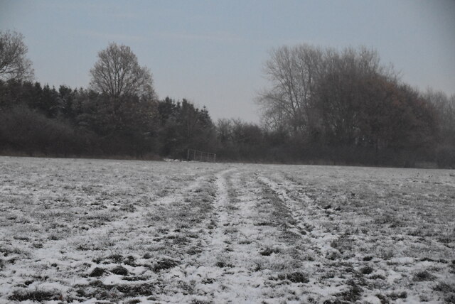
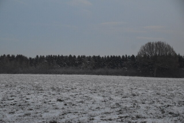
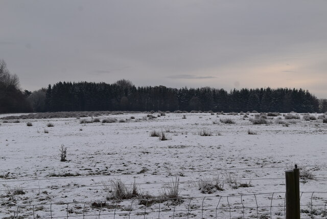
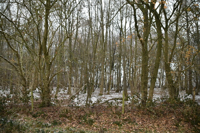
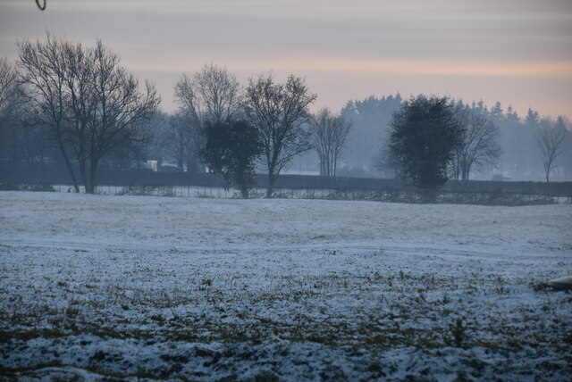
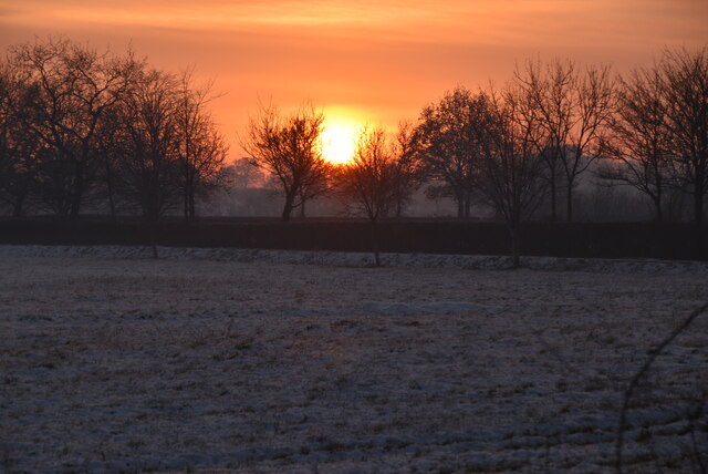
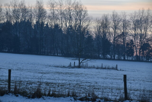
The Rookery is a picturesque woodland located in the county of Wiltshire, England. Covering an area of approximately 100 acres, this enchanting forest is a haven for nature enthusiasts and offers a tranquil escape from the hustle and bustle of urban life.
The forest is primarily composed of native deciduous trees, including oak, beech, and ash, which create a stunning canopy that changes with the seasons. The woodland floor is adorned with a rich tapestry of wildflowers, such as bluebells and primroses, which add bursts of color to the landscape.
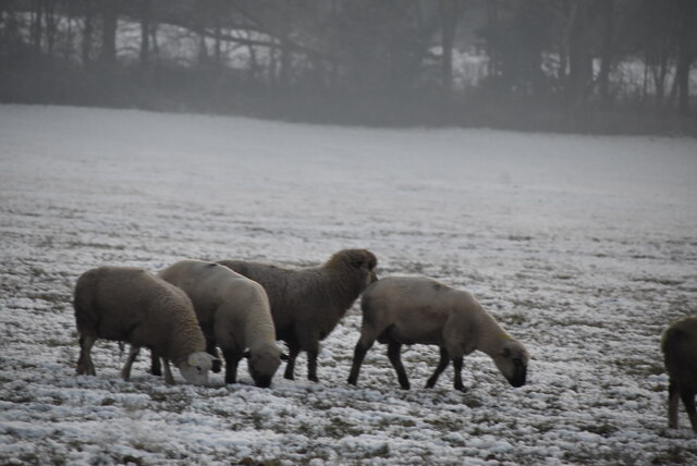
The Rookery is home to a diverse range of wildlife, making it an ideal spot for animal lovers and birdwatchers. Visitors may spot roe deer gracefully bounding through the undergrowth or catch a glimpse of elusive foxes and badgers. The forest is also a haven for bird species, including woodpeckers, owls, and various songbirds, providing a symphony of natural sounds throughout the day.
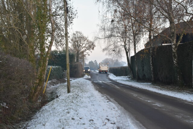
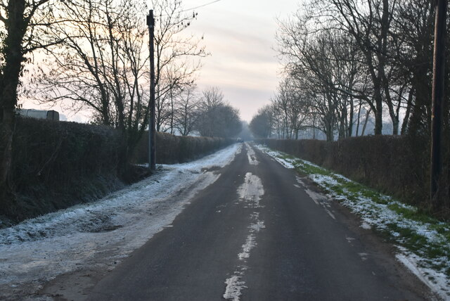
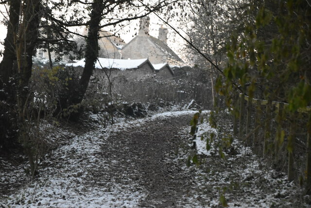
Paths and trails wind through the forest, allowing visitors to explore the woodland at their leisure. These routes are well-maintained and suitable for both casual strolls and more adventurous hikes. It's a popular location for outdoor activities, such as jogging, cycling, and picnicking.
In addition to its natural beauty, The Rookery also boasts a rich history. It was once part of an ancient royal hunting ground and is dotted with remnants of old stone walls and other historical features. This adds an extra layer of charm and intrigue to the forest, making it a captivating destination for history enthusiasts.
Overall, The Rookery is a magical woodland retreat that offers a perfect blend of natural beauty, wildlife, and history. Whether you're seeking a peaceful walk, a chance to connect with nature, or a glimpse into the past, this Wiltshire gem has something for everyone.
If you have any feedback on the listing, please let us know in the comments section below.
The Rookery Images
Images are sourced within 2km of 51.624977/-2.0342317 or Grid Reference ST9791. Thanks to Geograph Open Source API. All images are credited.


The Rookery is located at Grid Ref: ST9791 (Lat: 51.624977, Lng: -2.0342317)
Unitary Authority: Wiltshire
Police Authority: Wiltshire
What 3 Words
///straying.divisions.mailboxes. Near Hankerton, Wiltshire
Nearby Locations
Related Wikis
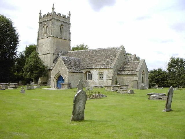
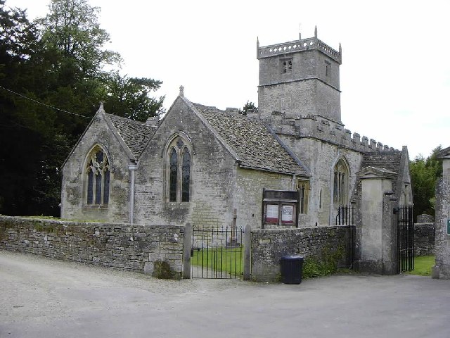
Hankerton
Hankerton is a village and civil parish in Wiltshire, England, 3 miles (4.8 km) northeast of Malmesbury. The parish includes the hamlets of Cloatley, Cloatley...

Cloatley Manor Farm Meadows
Cloatley Manor Farm Meadows (grid reference ST981910) is a 12.1 hectare biological Site of Special Scientific Interest in Wiltshire, notified in 1997....

Oaksey
Oaksey is a village and civil parish in Wiltshire, England, on the county boundary with Gloucestershire. The village is about 5.5 miles (8.9 km) northeast...

Crudwell
Crudwell is a village and civil parish in north Wiltshire, England. The nearest towns are Malmesbury, about 4 miles (6.4 km) to the south-west, and Cirencester...

Oaksey Halt railway station
Oaksey Halt is a closed station on the Golden Valley Line south of Kemble railway station and Kemble Tunnel on the line to Swindon. There were short (150...
Charlton, Brinkworth
Charlton is a village and civil parish in North Wiltshire, England, about 2 miles (3 km) northeast of Malmesbury and 4 miles (6.4 km) northwest of the...
Emmett Hill Meadows
Emmett Hill Meadows (grid reference SU009901) is a 5.1 hectare biological Site of Special Scientific Interest in Wiltshire, notified in 1987. The site...

Charlton Park, Wiltshire
Charlton Park is a country house and estate in Wiltshire, England, 2 miles (3.2 km) northeast of the town of Malmesbury. Charlton Park House is a Grade...
Nearby Amenities
Located within 500m of 51.624977,-2.0342317Have you been to The Rookery?
Leave your review of The Rookery below (or comments, questions and feedback).