Horseguards Plantation

Wood, Forest in Gloucestershire Cotswold

England

Horseguards Plantation

Fields to west of Church Farm Viewed from railway line
Fields to west of Church Farm Credit: Clint Mann

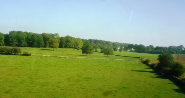
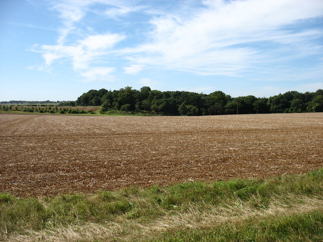
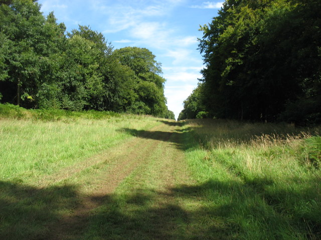
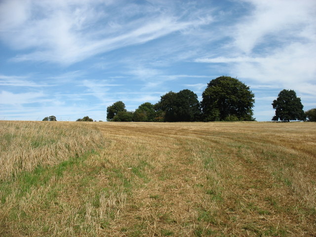
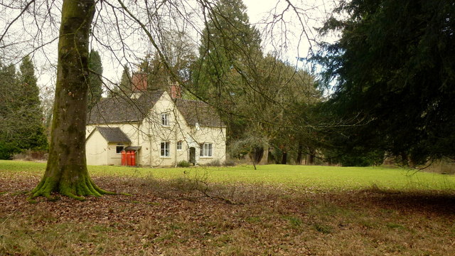
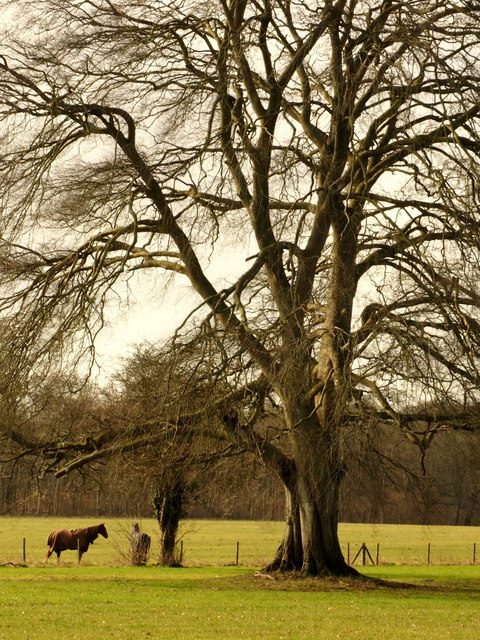
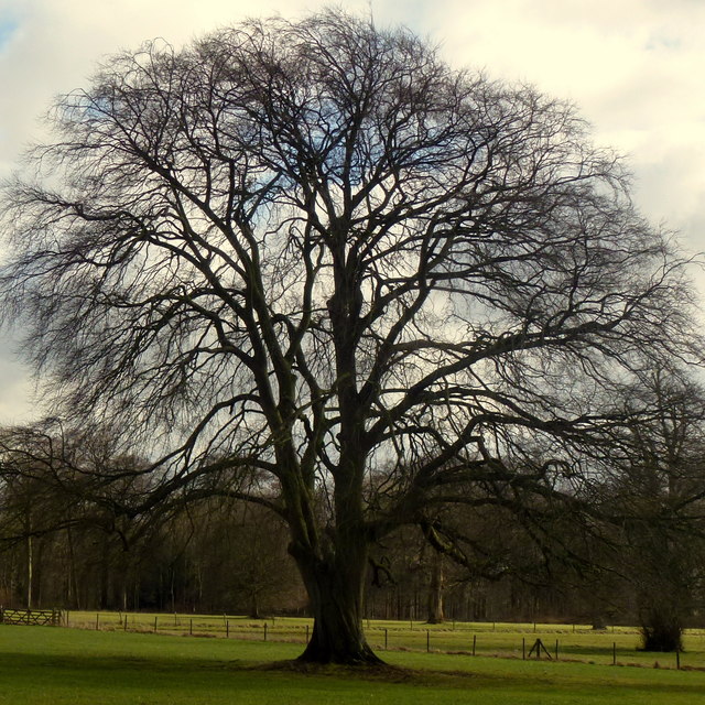
Horseguards Plantation is a picturesque woodland located in the county of Gloucestershire, England. Situated in the heart of the Forest of Dean, this plantation covers an area of approximately 200 acres and is renowned for its natural beauty and rich biodiversity.

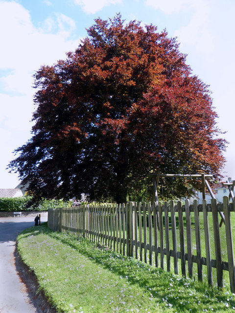
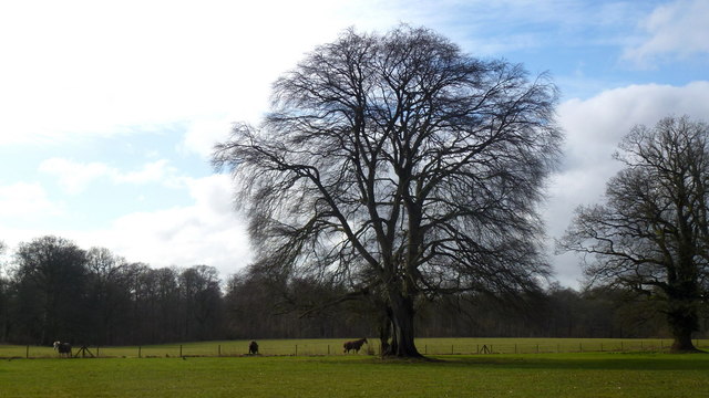
The woodland is predominantly composed of a variety of deciduous trees, including oak, beech, and birch, which create a stunning canopy overhead. This lush vegetation provides a habitat for a diverse range of wildlife, making it a popular destination for nature enthusiasts and birdwatchers alike.

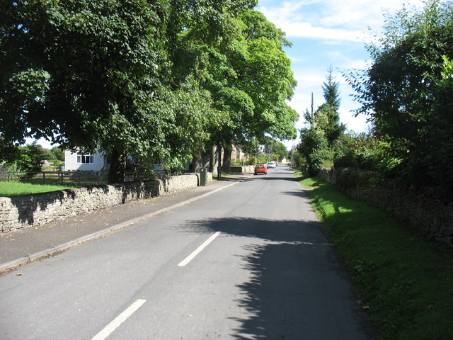
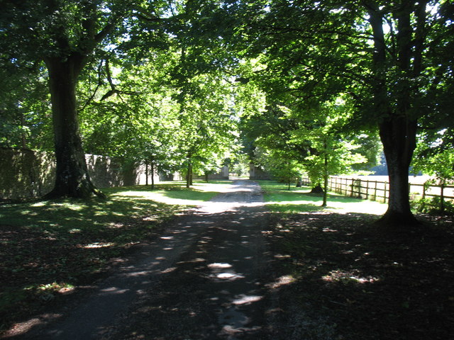
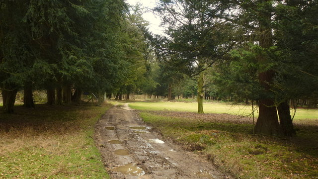
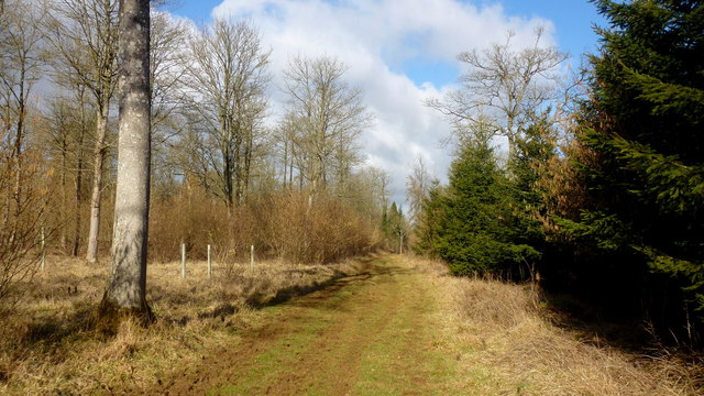
Horseguards Plantation is crisscrossed by a network of well-maintained walking paths, allowing visitors to explore the woodland at their own pace. The trails wind through ancient trees and offer captivating views of the surrounding landscape, with occasional glimpses of the nearby River Severn.

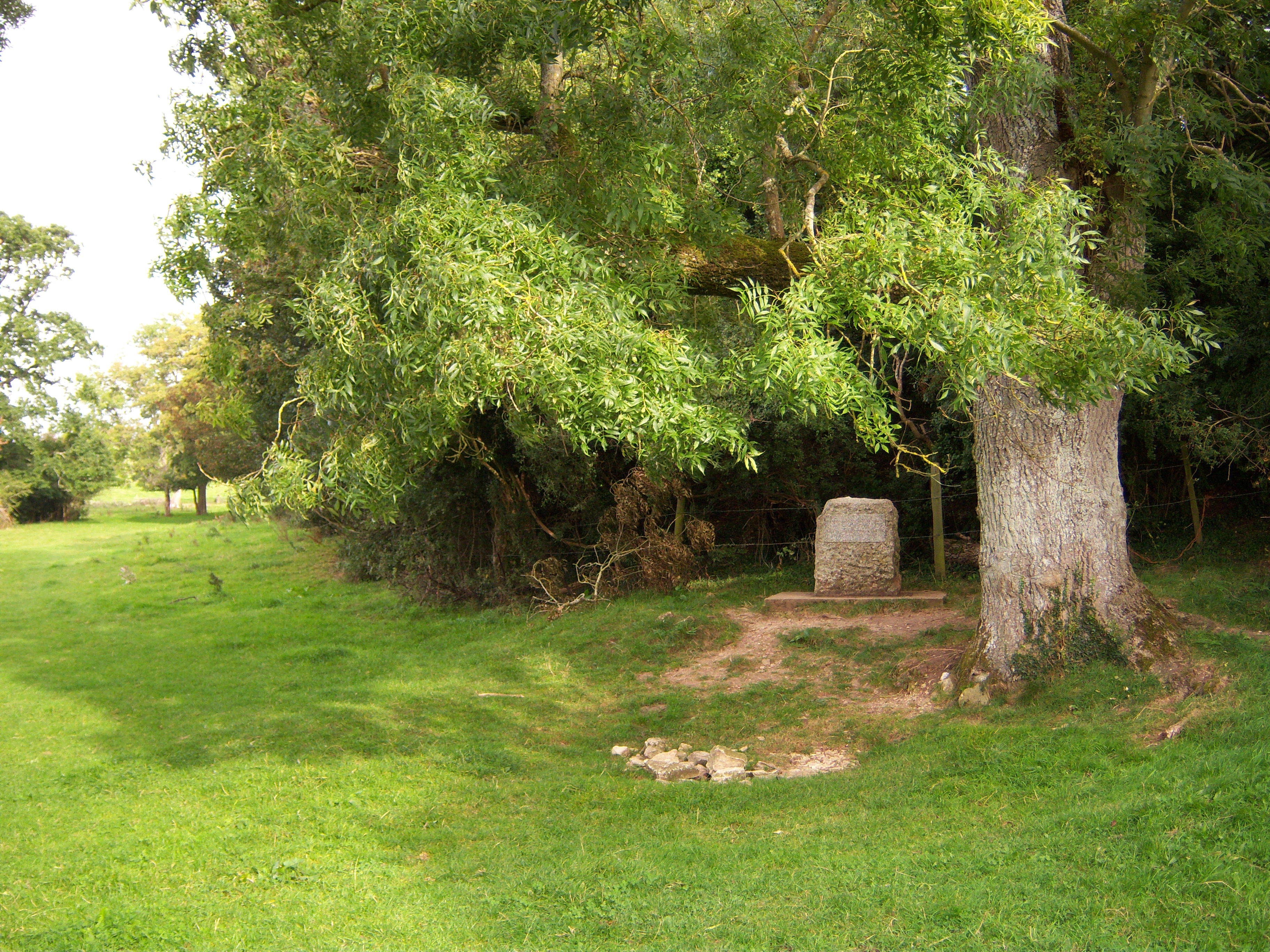
One of the highlights of the plantation is the presence of several archaeological sites, including remnants of Iron Age settlements and Roman encampments. These historical features add an extra layer of intrigue to the area, attracting history enthusiasts and researchers.

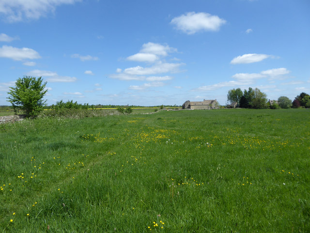
The woodland also serves as a recreational space, with designated picnic areas and benches scattered throughout. Visitors can enjoy a peaceful picnic amidst the tranquil surroundings or simply relax and soak up the natural ambiance.

Horseguards Plantation is a hidden gem within Gloucestershire, offering a tranquil escape from the hustle and bustle of everyday life. Whether you are looking to immerse yourself in nature, explore historical sites, or simply find solace in the beauty of the Forest of Dean, this plantation is a must-visit destination.

If you have any feedback on the listing, please let us know in the comments section below.

Horseguards Plantation Images

Images are sourced within 2km of 51.72013/-2.0348107 or Grid Reference SO9702. Thanks to Geograph Open Source API. All images are credited.

Fields to west of Church Farm Viewed from railway line
Fields to west of Church Farm
Viewed from railway line
Village pump, Coates The village pump stands in the shade of a magnificent copper beech tree. See also <a href="https://www.geograph.org.uk/photo/1517887">SO9801 : Pump and hydrant, Quaker Row, Coates</a>.
Village pump, Coates
The village pump stands in the shade of a magnificent copper beech tree. See also SO9801 : Pump and hydrant, Quaker Row, Coates.
1-6 Bathurst Row, Coates Grade II Listed early to mid-19th century Cotswold stone cottages. The listing is for three identical pairs of cottages in a row (the others are outside the picture to the left). <span class="nowrap"><a title="http://www.britishlistedbuildings.co.uk/en-129299-1-6-bathurst-row-coates-gloucestershire#.Vzt9EpD2aUk" rel="nofollow ugc noopener" href="http://www.britishlistedbuildings.co.uk/en-129299-1-6-bathurst-row-coates-gloucestershire#.Vzt9EpD2aUk">Link</a><img style="margin-left:2px;" alt="External link" title="External link - shift click to open in new window" src="https://s1.geograph.org.uk/img/external.png" width="10" height="10"/></span> An ER postbox is set into the wall in front of the cottages. A public footpath to the right of the cottages leads to the fields.
1-6 Bathurst Row, Coates
Grade II Listed early to mid-19th century Cotswold stone cottages. The listing is for three identical pairs of cottages in a row (the others are outside the picture to the left). LinkExternal link An ER postbox is set into the wall in front of the cottages. A public footpath to the right of the cottages leads to the fields.
The Setts Buildings, Coates
Coates village Looking along the main street.
Coates village
Looking along the main street.
Fields and woods west of Coates
St Matthew's church, Coates
Overley Ride, Oakley Wood Within Cirencester Park. The land is private, but the public are allowed to walk, and ride horses, freely through the Park during the day. Dogs, however, are not permitted, a constraint which I find very reasonable and adds to my pleasure, though I know that many would disagree.
Overley Ride, Oakley Wood
Within Cirencester Park. The land is private, but the public are allowed to walk, and ride horses, freely through the Park during the day. Dogs, however, are not permitted, a constraint which I find very reasonable and adds to my pleasure, though I know that many would disagree.
Arable land in Sapperton Park
The drive to Bledisloe
Coates church on the horizon Taken beside the road from Tarlton.
Coates church on the horizon
Taken beside the road from Tarlton.
The Wood House Aptly-named (gamekeeper's?) cottage in the middle of Oakley Wood, part of the Earl of Bathurst's Cirencester Park Estate.
The Wood House
Aptly-named (gamekeeper's?) cottage in the middle of Oakley Wood, part of the Earl of Bathurst's Cirencester Park Estate.
Rutted track in Oakley Wood. Part of the Earl of Bathurst's Cirencester Park Estate.
Rutted track in Oakley Wood.
Part of the Earl of Bathurst's Cirencester Park Estate.
A ride in Oakley Wood Part of the Earl of Bathurst's Cirencester Park Estate.
A ride in Oakley Wood
Part of the Earl of Bathurst's Cirencester Park Estate.
Beech tree in Cirencester Park, 1 A fine specimen by the Broad Ride.
Beech tree in Cirencester Park, 1
A fine specimen by the Broad Ride.
Beech tree in Cirencester Park, 2 A fine specimen by the Broad Ride.
Beech tree in Cirencester Park, 2
A fine specimen by the Broad Ride.
Beech tree in Cirencester Park, 3 A fine specimen by the Broad Ride.
Beech tree in Cirencester Park, 3
A fine specimen by the Broad Ride.
Show me another place!

Horseguards Plantation is located at Grid Ref: SO9702 (Lat: 51.72013, Lng: -2.0348107)

Administrative County: Gloucestershire

District: Cotswold

Police Authority: Gloucestershire

What 3 Words

///coconuts.defends.thickened. Near Coates, Gloucestershire

Nearby Locations

Horseguards Plantation

Related Wikis

Alfred's Hall

Alfred's Hall is a ruined folly in Cirencester Park, Gloucestershire, England. The Grade II* listed building dates from 1721 and is "probably the first...

Coates, Gloucestershire

Coates is a village and civil parish situated in Cotswold District, Gloucestershire, England. It is around 3 miles (4.8 km) west of Cirencester and close...

A419 road

The A419 road is a primary route between Chiseldon near Swindon at junction 15 of the M4 with the A346 road, and Whitminster in Gloucestershire, England...

Sapperton Canal Tunnel

The Sapperton Canal Tunnel is a tunnel on the Thames and Severn Canal near Cirencester in Gloucestershire, England. With a length of 3,817 yards (3,490...

Thames Head

Thames Head is a group of seasonal springs that arise near the village of Coates in the Cotswolds, about three miles south-west of the town of Cirencester...

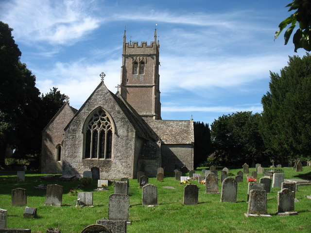
Church of the Holy Rood , Daglingworth

The Anglican Church of the Holy Rood at Daglingworth in the Cotswold District of Gloucestershire, England was built in the 11th century. It is a Grade...

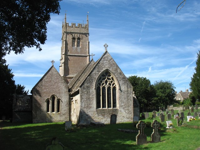
St Kenelm's Church, Sapperton, Gloucestershire

St Kenelm's Church is a historic church in Sapperton, Gloucestershire in the care of The Churches Conservation Trust. It is listed Grade I on the National...

Sapperton, Gloucestershire

Sapperton is a village and civil parish in the Cotswold District of Gloucestershire in England, about 4.5 miles (7.2 km) west of Cirencester. It is most...

Have you been to Horseguards Plantation?

Leave your review of Horseguards Plantation below (or comments, questions and feedback).