Rocks Plantation

Wood, Forest in Staffordshire Staffordshire Moorlands

England

Rocks Plantation

Newly layed hedge near Meerbrook The Derbyshire style of hedge laying where the brush (bushy growth) is placed to the livestock side of the hedge. Sawn timber stakes are used 24″ to 30″ apart. A strong, stock proof hedge is built by weaving the pleachers (layed stems) in front and behind the stakes – no binders are needed.
Newly layed hedge near Meerbrook Credit: Eirian Evans

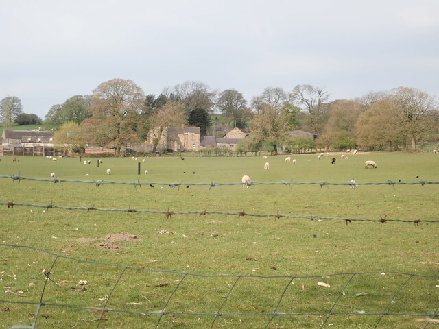
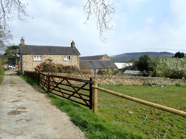
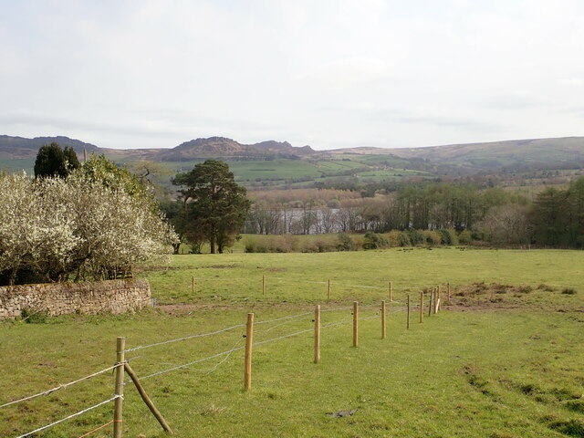
Rocks Plantation is a picturesque woodland area located in Staffordshire, England. Situated in the heart of the county, it covers an expansive area of lush greenery, making it an ideal destination for nature enthusiasts and outdoor adventurers alike.

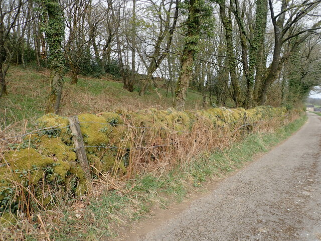
The plantation is named after the numerous rocky outcrops that dot the landscape, lending a unique and rugged charm to the area. These rocky formations are believed to have been formed by natural erosion processes over thousands of years.

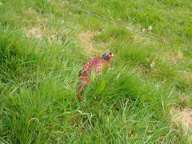
The woodland is primarily composed of various species of trees, including oak, beech, and birch, which create a vibrant canopy overhead. The rich undergrowth is home to a diverse range of flora and fauna, making it a haven for wildlife. Visitors can expect to see an array of bird species, small mammals, and a variety of colorful wildflowers during their exploration of the plantation.

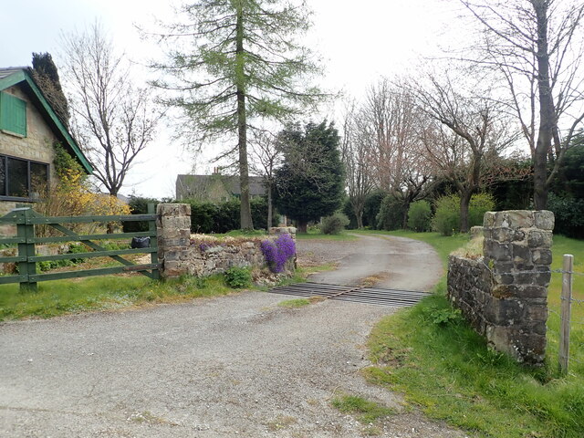
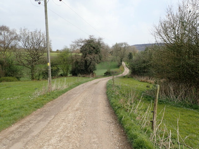
Rocks Plantation offers a network of well-maintained trails that wind through the woods, allowing visitors to explore the area at their own pace. These trails are suitable for both casual strolls and more challenging hikes, catering to individuals of all fitness levels. Along the way, there are several designated picnic areas where visitors can relax and enjoy the serene surroundings.

The plantation also offers educational programs and guided tours for school groups and nature enthusiasts, providing valuable insights into the area's geology, flora, and fauna. With its natural beauty, diverse ecosystem, and recreational opportunities, Rocks Plantation is a popular destination for outdoor enthusiasts seeking tranquility and a connection with nature in Staffordshire.

If you have any feedback on the listing, please let us know in the comments section below.

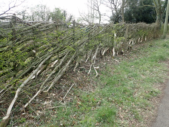
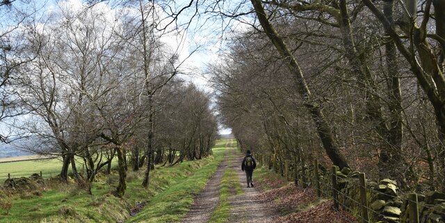
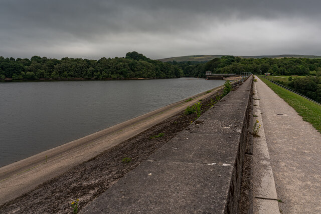
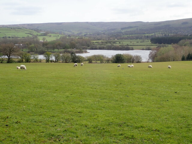
Rocks Plantation Images

Images are sourced within 2km of 53.124294/-2.037004 or Grid Reference SJ9758. Thanks to Geograph Open Source API. All images are credited.

Newly layed hedge near Meerbrook The Derbyshire style of hedge laying where the brush (bushy growth) is placed to the livestock side of the hedge. Sawn timber stakes are used 24″ to 30″ apart. A strong, stock proof hedge is built by weaving the pleachers (layed stems) in front and behind the stakes – no binders are needed.
Newly layed hedge near Meerbrook
The Derbyshire style of hedge laying where the brush (bushy growth) is placed to the livestock side of the hedge. Sawn timber stakes are used 24″ to 30″ apart. A strong, stock proof hedge is built by weaving the pleachers (layed stems) in front and behind the stakes – no binders are needed.
Track alongside Gun plantation. Heading back to Rudyard.
Track alongside Gun plantation.
Heading back to Rudyard.
Tittersworth Dam The original dam was built 1858 by the Staffordshire Potteries Water Board to supply water to the dying industry in Leek. The new dam was finished in 1963 and is three times the size of the original.
Tittersworth Dam
The original dam was built 1858 by the Staffordshire Potteries Water Board to supply water to the dying industry in Leek. The new dam was finished in 1963 and is three times the size of the original.
View over field to Tittesworth Reservoir First constructed in 1858, Tittesworth is the second largest reservoir in Staffordshire.
View over field to Tittesworth Reservoir
First constructed in 1858, Tittesworth is the second largest reservoir in Staffordshire.
Franklins Farm, Meerbrook
Cattle grid on the track to Hillswood End
Farm track to North Hillswood
Silage pit, North Hillsend
North Hillsend farm On the west side of Tittesworth Reservoir
North Hillsend farm
On the west side of Tittesworth Reservoir
View from North Hillsend Farm Tittesworth Reservoir down the hill beyond the trees, and the gritstone edges of The Roaches, Hen Cloud and Ramshaw Rocks on the horizon
View from North Hillsend Farm
Tittesworth Reservoir down the hill beyond the trees, and the gritstone edges of The Roaches, Hen Cloud and Ramshaw Rocks on the horizon
Moss-covered wall south of Hillswood End farm
Resting cock pheasant
Tittesworth Reservoir Dam The dam at the southern end of the reservoir
Tittesworth Reservoir Dam
The dam at the southern end of the reservoir
Steps up through Hinds Clough Wood This joins the Moorland Walk to Leek
Steps up through Hinds Clough Wood
This joins the Moorland Walk to Leek
Tittesworth Reservoir Owned and operated by Severn Trent Water, Tittesworth Reservoir was first constructed in 1858. It was extended in 1963. The water comes from the Upper River Churnet and supplies water to the Staffordshire Moorlands, Stoke-on-Trent and Leek.
Tittesworth Reservoir
Owned and operated by Severn Trent Water, Tittesworth Reservoir was first constructed in 1858. It was extended in 1963. The water comes from the Upper River Churnet and supplies water to the Staffordshire Moorlands, Stoke-on-Trent and Leek.
Tittesworth Reservoir water works
Outfall and spillway at Tittesworth Reservoir At the south-eastern end of the reservoir
Outfall and spillway at Tittesworth Reservoir
At the south-eastern end of the reservoir
Dam at the southern end of Tittesworth Reservoir
Show me another place!

Rocks Plantation is located at Grid Ref: SJ9758 (Lat: 53.124294, Lng: -2.037004)

Administrative County: Staffordshire

District: Staffordshire Moorlands

Police Authority: Staffordshire

What 3 Words

///congas.severe.informs. Near Leek, Staffordshire

Related Wikis

Abbey Green, Staffordshire Moorlands

Abbey Green is a village near Leek in the English county of Staffordshire. The village is close to the site of Dieulacres Abbey. The abbey was founded...

Dieulacres Abbey

Dieulacres Abbey was a Cistercian monastery established by Ranulf, Earl of Chester at Poulton in Cheshire. It moved to the present site at Abbey Green...

Highfield, Leek

Highfield is a cricket ground in Leek, Staffordshire. The ground is located just outside of the town along the Macclesfield Road, which itself forms part...

Brindley Water Mill

The Brindley Water Mill is a water mill in the town of Leek, Staffordshire, England. The current structure was built on the site of previous corn-grinding...

Leek Town F.C.

Leek Town Football Club is an English football club based in Leek, Staffordshire, playing in the Northern Premier League Division One West, the eighth...

Ball Haye Green

Ball Haye Green is an area of Leek in Staffordshire, England. The area was historically an estate in the township of Tittesworth. It was developed as...

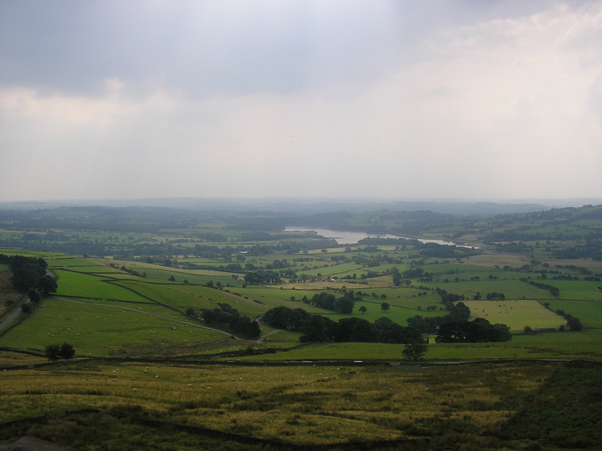
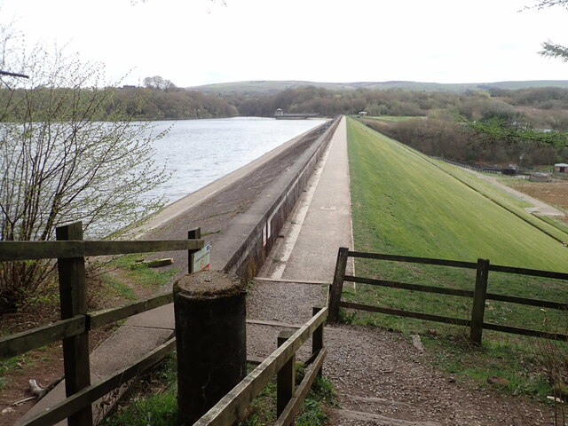
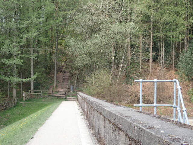
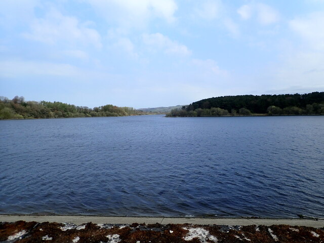
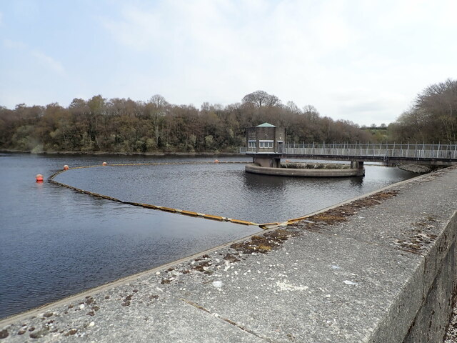
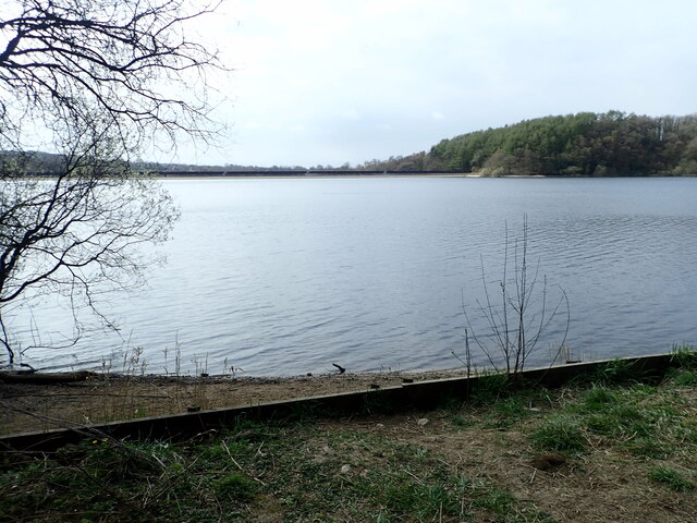
Tittesworth reservoir

Tittesworth Reservoir is a water storage reservoir near Leek, Staffordshire, England, fed by the River Churnet. The reservoir and associated water treatment...

Leek, Staffordshire

Leek is a market town and civil parish in the county of Staffordshire, England, on the River Churnet. It is situated about 10 miles (16 km) north east...

Nearby Amenities

Located within 500m of 53.124294,-2.037004
Barrier: stile
Lat/Long: 53.1235054/-2.0402935
Barrier: stile
Lat/Long: 53.1225997/-2.0431325
Barrier: stile
Lat/Long: 53.1225543/-2.0438579
Barrier: stile
Lat/Long: 53.1226535/-2.0429222
Barrier: stile
Lat/Long: 53.1239666/-2.0385783
The data included in this document is from www.openstreetmap.org. The data is made available under ODbL.

Have you been to Rocks Plantation?

Leave your review of Rocks Plantation below (or comments, questions and feedback).