Crowborough
Settlement in Staffordshire Staffordshire Moorlands
England
Crowborough
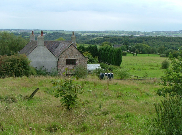
Crowborough is a small village located in the county of Staffordshire, England. It is situated approximately 12 miles north of the county town, Stafford, and lies close to the border with Cheshire. With a population of around 1,500 residents, Crowborough is a tranquil and close-knit community.
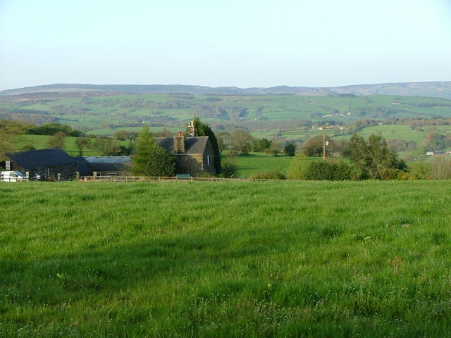
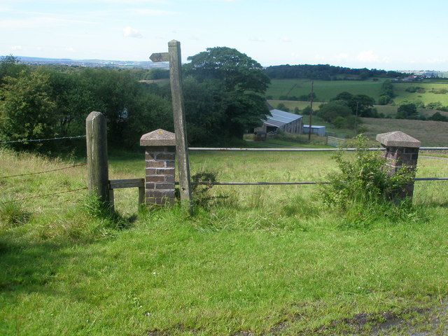
The village is surrounded by picturesque countryside and rolling hills, offering stunning views and ample opportunities for outdoor activities such as hiking and cycling. The nearby Cannock Chase, an Area of Outstanding Natural Beauty, is a popular destination for nature enthusiasts.
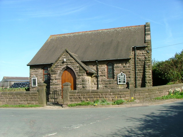
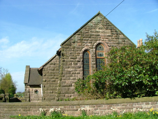
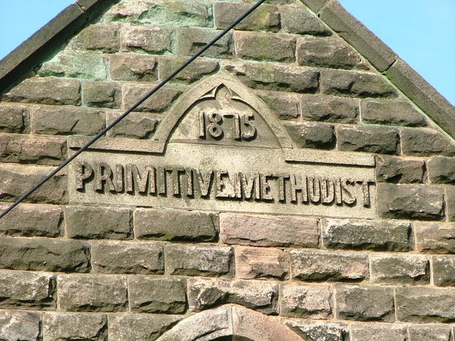
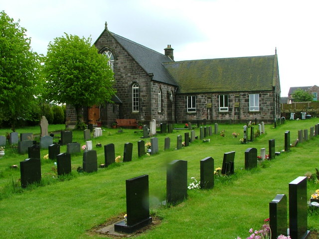
Crowborough boasts a rich history, with evidence of human settlement dating back to the Roman era. The village is dotted with historic buildings, including the beautiful St. Mary's Church, which dates back to the 12th century. The church features stunning architecture and intricate stained glass windows, attracting visitors interested in history and architecture.
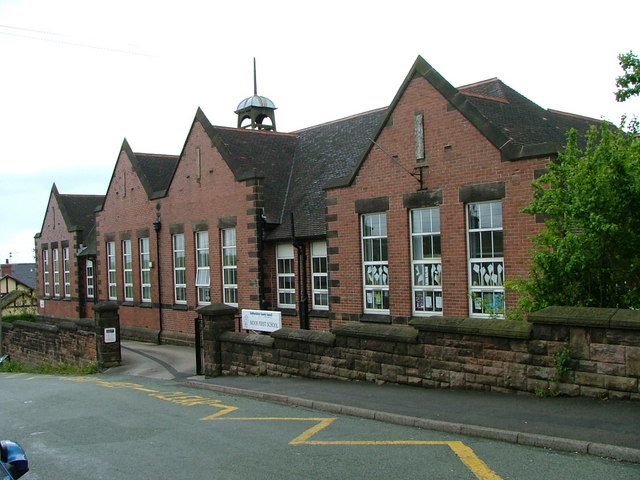
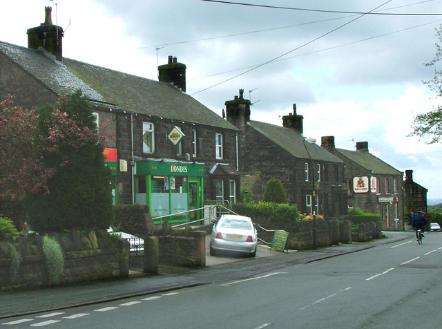
In terms of amenities, Crowborough offers a range of local shops, pubs, and restaurants, providing residents with essential services and a sense of community. The village also has a primary school, ensuring that families have access to quality education for their children.
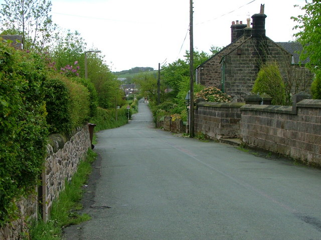
Transportation in Crowborough is primarily provided through a network of roads, connecting the village to nearby towns and cities. The nearest train station is located in Stafford, offering convenient access to major cities like Birmingham and Manchester.
Overall, Crowborough is a charming village in Staffordshire, known for its natural beauty, historic landmarks, and friendly community spirit.
If you have any feedback on the listing, please let us know in the comments section below.
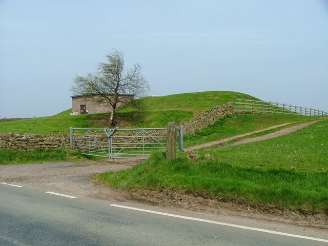
Crowborough Images
Images are sourced within 2km of 53.110985/-2.142635 or Grid Reference SJ9057. Thanks to Geograph Open Source API. All images are credited.

Crowborough is located at Grid Ref: SJ9057 (Lat: 53.110985, Lng: -2.142635)
Administrative County: Staffordshire
District: Staffordshire Moorlands
Police Authority: Staffordshire
What 3 Words
///patting.alternate.eliminate. Near Biddulph, Staffordshire
Nearby Locations
Related Wikis
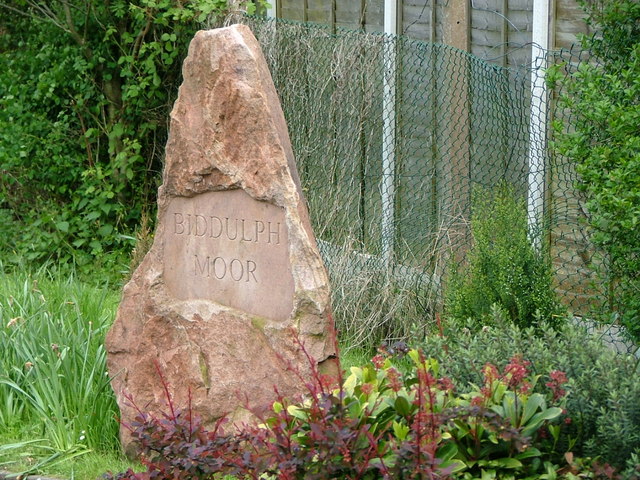
Biddulph Moor
Biddulph Moor is a village located on the hill which bears the same name. It is in Biddulph parish and is a part of the Staffordshire Moorlands district...

Biddulph High School
Biddulph High School is a mixed upper school (termed 'high school') and sixth form located in the Knypersley area of Biddulph in the English county of...

Biddulph
Biddulph is a town in Staffordshire, England, 8.5 miles (14 km) north of Stoke-on-Trent and 4.5 miles (7 km) south-east of Congleton, Cheshire. == Origin... ==

Knypersley Reservoir
Knypersley Reservoir near Biddulph, Staffordshire, England, was built in 1827 to supply water to the Caldon Canal, along with two others at Stanley Pool...

Biddulph Grange Country Park
Biddulph Grange Country Park is a country park in Biddulph, UK. It was originally part of Biddulph Grange. == Contents == The 73 acres (0.30 km2) park...
Knypersley Hall
Knypersley Hall is an 18th-century Georgian style country mansion at Biddulph, Staffordshire, England. It is protected as a Grade II* listed building....

Biddulph Grange
Biddulph Grange is a National Trust landscaped garden, in Biddulph near Stoke-on-Trent, Staffordshire, England. It is separate from Biddulph Grange Country...
Braddocks Hay
Braddocks Hay is a village in Staffordshire, England. Population details for the 2011 census can be found under Biddulph
Nearby Amenities
Located within 500m of 53.110985,-2.142635Have you been to Crowborough?
Leave your review of Crowborough below (or comments, questions and feedback).