Long Alders Wood

Wood, Forest in Cheshire

England

Long Alders Wood

Footbridge in Etherow Country Park
Footbridge in Etherow Country Park Credit: Philip Cornwall

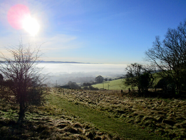
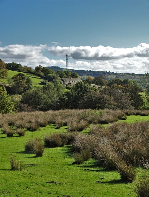
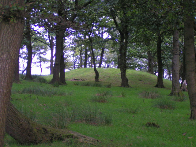
Long Alders Wood is a picturesque woodland area located in Cheshire, England. Covering an expansive area of approximately 100 acres, this ancient woodland is a cherished natural gem in the region. It is situated near the village of Alderley Edge, known for its rich history and stunning landscapes.

The wood is primarily composed of a mix of broadleaf trees, with oak, beech, and birch being the dominant species. These towering trees create a dense canopy that provides ample shade and a tranquil atmosphere for visitors. The woodland floor is adorned with a diverse array of wildflowers, including bluebells and wood anemones, adding splashes of color to the scenery during the spring months.

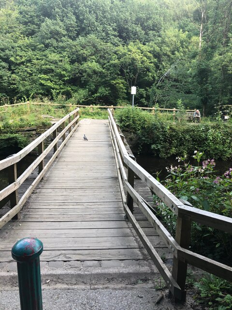
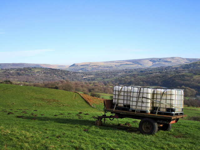
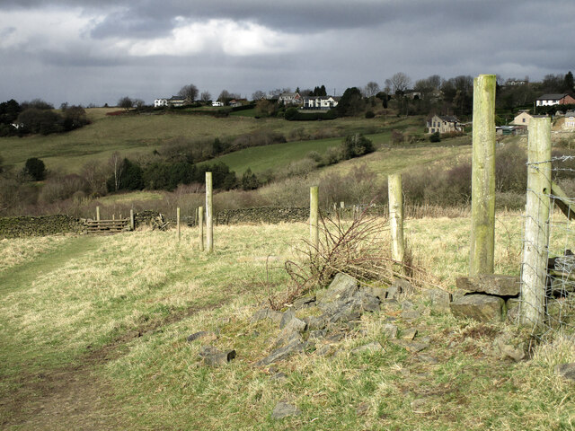
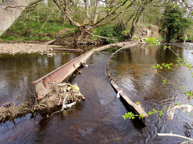
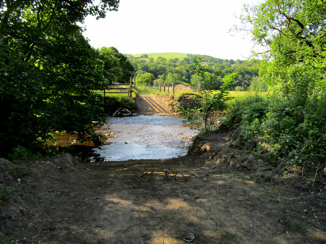
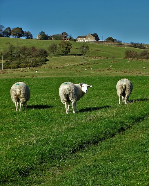
Long Alders Wood offers a variety of walking trails, allowing visitors to explore its beauty at their own pace. The paths wind through the trees, providing glimpses of wildlife such as deer, foxes, and a myriad of bird species. Additionally, the wood is home to a small stream that meanders through its heart, enhancing the idyllic atmosphere.

The wood holds great historical significance, with remnants of ancient settlements and burial mounds dating back to the Bronze Age. It is a protected site, ensuring the preservation of its natural beauty and historical value.

Overall, Long Alders Wood is a cherished natural oasis in Cheshire. Its diverse woodland ecosystem, scenic trails, and historical significance make it a popular destination for nature lovers, hikers, and history enthusiasts alike.

If you have any feedback on the listing, please let us know in the comments section below.

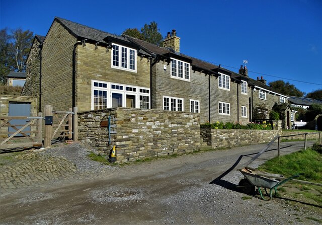
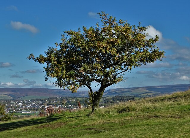
Long Alders Wood Images

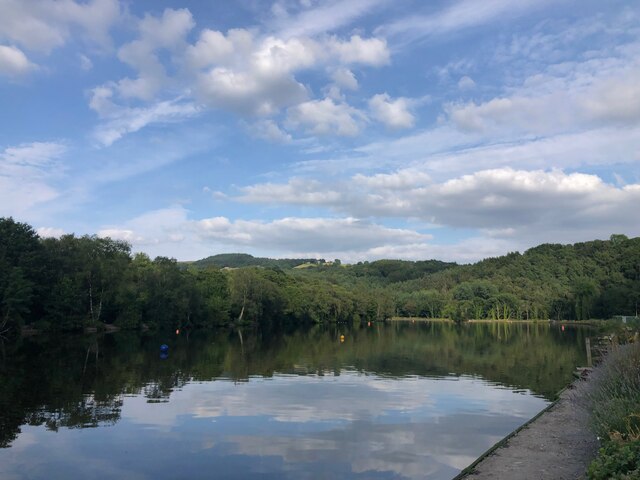
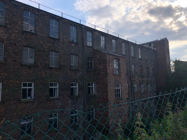
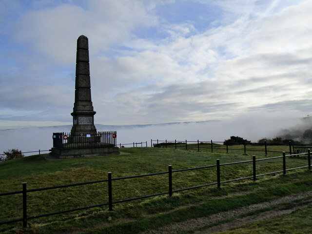
Images are sourced within 2km of 53.424086/-2.0390414 or Grid Reference SJ9791. Thanks to Geograph Open Source API. All images are credited.

Footbridge in Etherow Country Park
The lake at Etherow Country Park
Compstall Mills
Compstall Mills
Hyde Cenotaph Hyde War Memorial remembers the people who gave their lives for our country. This photograph was taken on Remembrance Say 2021.
Hyde Cenotaph
Hyde War Memorial remembers the people who gave their lives for our country. This photograph was taken on Remembrance Say 2021.
Footpath Towards Compstall The Etherow Valley full of morning mist
Footpath Towards Compstall
The Etherow Valley full of morning mist
Water Trailer These fields at a higher level have no ponds or streams, the farmer's work includes filling and transporting water barrels to keep his stock watered. The hills of the Dark Peak can be seen in the distance.
Water Trailer
These fields at a higher level have no ponds or streams, the farmer's work includes filling and transporting water barrels to keep his stock watered. The hills of the Dark Peak can be seen in the distance.
Hare and Hounds 
The Hare and Hounds on Werneth Low after  the first heavy snowfall of the winter at lower levels.
Hare and Hounds
The Hare and Hounds on Werneth Low after the first heavy snowfall of the winter at lower levels.
Footpath around the edge of Werneth Low This path is not part of Werneth Low Country Park, it's more like an outer ring path.
Footpath around the edge of Werneth Low
This path is not part of Werneth Low Country Park, it's more like an outer ring path.
Unsafe Bridge For about the last ten years this bridge has been closed to walkers with a sign telling "Unsafe Bridge" I for one ignored the sign but the authorities have been proved right with the bridge washing away over winter. <a title="https://www.geograph.org.uk/photo/6082029" href="https://www.geograph.org.uk/photo/6082029">Link</a>
Unsafe Bridge
For about the last ten years this bridge has been closed to walkers with a sign telling "Unsafe Bridge" I for one ignored the sign but the authorities have been proved right with the bridge washing away over winter. Link
Ford across the River Etherow Following the destruction of the bridge <a title="https://www.geograph.org.uk/photo/6367523" href="https://www.geograph.org.uk/photo/6367523">Link</a> in winter 2021/22 a ford now gives access to the grazing meadows on the far bank of the river.
Ford across the River Etherow
Following the destruction of the bridge Link in winter 2021/22 a ford now gives access to the grazing meadows on the far bank of the river.
Tree behind Gothic Farm, Romiley
Three Sheep And view to Werneth Hall Farm
Three Sheep
And view to Werneth Hall Farm
Looking up to Werneth Hall Farm Mostly hidden by the tree
Looking up to Werneth Hall Farm
Mostly hidden by the tree
View to cottages on Mount Road From Near Cloughside
View to cottages on Mount Road
From Near Cloughside
Uplands Farm
Uplands Farm
Golf course tree With a view to Hattersley and Longdendale
Golf course tree
With a view to Hattersley and Longdendale
Hyde War Memorial, Werneth Low
"IN HONOUR OF THE 710 MEN..." Detail of Hyde War Memorial in Werneth Low Country Park. This face of the memorial refers to World War One.
"IN HONOUR OF THE 710 MEN..."
Detail of Hyde War Memorial in Werneth Low Country Park. This face of the memorial refers to World War One.
Show me another place!

Long Alders Wood is located at Grid Ref: SJ9791 (Lat: 53.424086, Lng: -2.0390414)

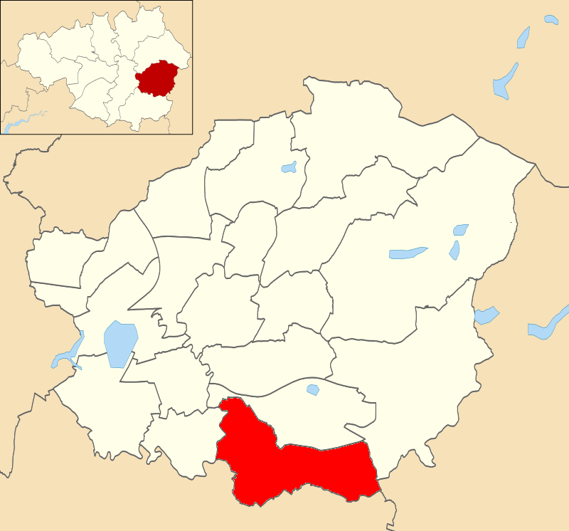
Unitary Authority: Stockport

Police Authority: Greater Manchester

What 3 Words

///shampoos.promises.fumes. Near Marple, Manchester

Related Wikis

Etherow Country Park

Etherow Country Park is situated at Compstall, England, between Marple Bridge and Romiley, in the Metropolitan Borough of Stockport, Greater Manchester...

Goyt Way

The Goyt Way is a 10-mile (16 km) walking route from Etherow Country Park, Greater Manchester, to Whaley Bridge, Derbyshire, following the valley of the...

Werneth Low

Werneth Low (; WUR-nəth) is a hill in Greater Manchester, England, and a part of the Pennines. It is located on the borders of Stockport and Tameside...

Compstall

Compstall is a village in the Metropolitan Borough of Stockport, Greater Manchester, England; it is situated between Marple Bridge and Romiley and is historically...

Chisworth

Chisworth is a hamlet near Glossop, Derbyshire, England. It is 3 miles (4.8 km) south-west of Glossop town centre, on the south side of the Etherow valley...

Brown Low

Brown Low is a bowl barrow most likely dating to the Bronze Age. An earth and stone mound survives east of Marple, Greater Manchester (grid reference SJ98829092...

Ludworth, Greater Manchester

Ludworth is an area of Marple, Greater Manchester in Greater Manchester. Ludworth Civil Parish was created in 1896; it was part of Glossop Dale Rural District...

Hyde Werneth (ward)

Hyde Werneth is an electoral ward of Tameside, England. It is represented in Westminster by Jonathan Reynolds Labour Co-operative MP for Stalybridge and...

Nearby Amenities

Located within 500m of 53.424086,-2.0390414
Power: pole
Lat/Long: 53.4219638/-2.0451702
Power: pole
Lat/Long: 53.4217529/-2.0444922
Power: pole
Lat/Long: 53.4225075/-2.043521
Power: pole
Lat/Long: 53.4223146/-2.0437082
The data included in this document is from www.openstreetmap.org. The data is made available under ODbL.

Have you been to Long Alders Wood?

Leave your review of Long Alders Wood below (or comments, questions and feedback).