Beacom Wood
Wood, Forest in Cheshire
England
Beacom Wood

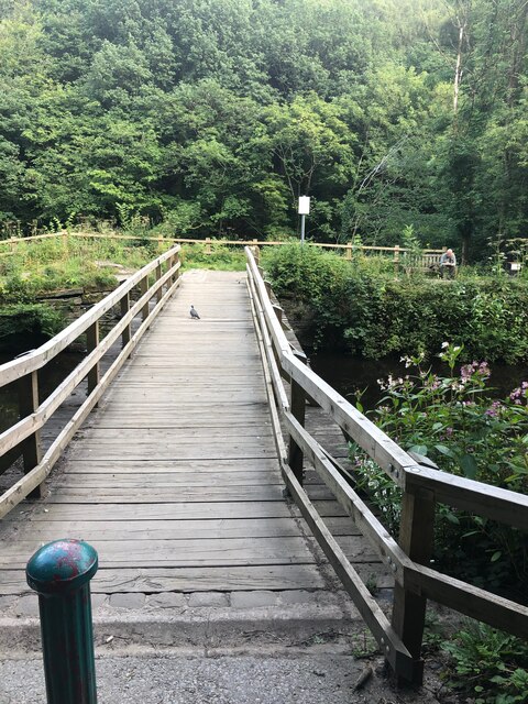
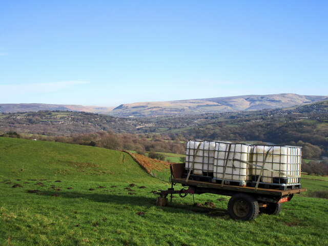
Beacom Wood is a picturesque woodland located in Cheshire, England. Covering an area of approximately 20 acres, it is a popular destination for nature enthusiasts and outdoor adventurers. The wood is situated near the village of Beacom, hence its name.
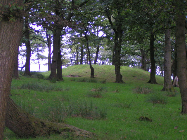
The wood is primarily composed of broadleaf trees, including oak, birch, and beech, which provide a stunning display of colors throughout the changing seasons. The dense canopy of foliage creates a tranquil and serene atmosphere, making it an ideal place for peaceful walks and picnics.
Beacom Wood is known for its diverse wildlife, making it a haven for nature lovers. Visitors may spot a variety of bird species, such as woodpeckers, jays, and owls, as well as small mammals like squirrels and rabbits. The wood also boasts a rich array of plant life, with bluebells, wild garlic, and ferns carpeting the forest floor in the spring.
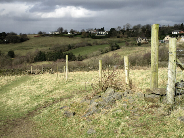
The wood is crisscrossed with well-maintained footpaths, allowing visitors to explore its beauty at their own pace. There are also several benches strategically placed throughout the wood, providing opportunities for visitors to rest and appreciate the surroundings.
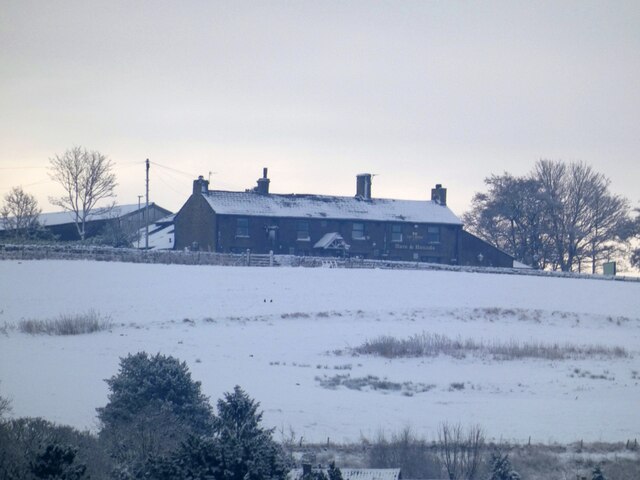
Beacom Wood is managed by the local council, ensuring its preservation and maintenance. The wood is open to the public year-round and admission is free. It offers a peaceful retreat from the hustle and bustle of everyday life, providing a perfect escape into nature for all who visit.
If you have any feedback on the listing, please let us know in the comments section below.
Beacom Wood Images
Images are sourced within 2km of 53.423321/-2.0441871 or Grid Reference SJ9791. Thanks to Geograph Open Source API. All images are credited.


Beacom Wood is located at Grid Ref: SJ9791 (Lat: 53.423321, Lng: -2.0441871)
Unitary Authority: Stockport
Police Authority: Greater Manchester
What 3 Words
///saying.flip.echo. Near Marple, Manchester
Nearby Locations
Related Wikis

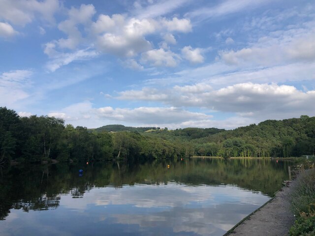
Etherow Country Park
Etherow Country Park is situated at Compstall, England, between Marple Bridge and Romiley, in the Metropolitan Borough of Stockport, Greater Manchester...

Goyt Way
The Goyt Way is a 10-mile (16 km) walking route from Etherow Country Park, Greater Manchester, to Whaley Bridge, Derbyshire, following the valley of the...

Compstall
Compstall is a village in the Metropolitan Borough of Stockport, Greater Manchester, England; it is situated between Marple Bridge and Romiley and is historically...

Werneth Low
Werneth Low (; WUR-nəth) is a hill in Greater Manchester, England, and a part of the Pennines. It is located on the borders of Stockport and Tameside...

Ludworth, Greater Manchester
Ludworth is an area of Marple, Greater Manchester in Greater Manchester. Ludworth Civil Parish was created in 1896; it was part of Glossop Dale Rural District...
Brown Low
Brown Low is a bowl barrow most likely dating to the Bronze Age. An earth and stone mound survives east of Marple, Greater Manchester (grid reference SJ98829092...

Chisworth
Chisworth is a hamlet near Glossop, Derbyshire, England. It is 3 miles (4.8 km) south-west of Glossop town centre, on the south side of the Etherow valley...
Hyde Werneth (ward)
Hyde Werneth is an electoral ward of Tameside, England. It is represented in Westminster by Jonathan Reynolds Labour Co-operative MP for Stalybridge and...
Nearby Amenities
Located within 500m of 53.423321,-2.0441871Have you been to Beacom Wood?
Leave your review of Beacom Wood below (or comments, questions and feedback).