Honey Grove

Wood, Forest in Dorset

England

Honey Grove

St Mary’s Church, Long Crichel Now redundant, and in the care of the charity “Friends of Friendless Churches”.
St Mary’s Church, Long Crichel Credit: David Martin

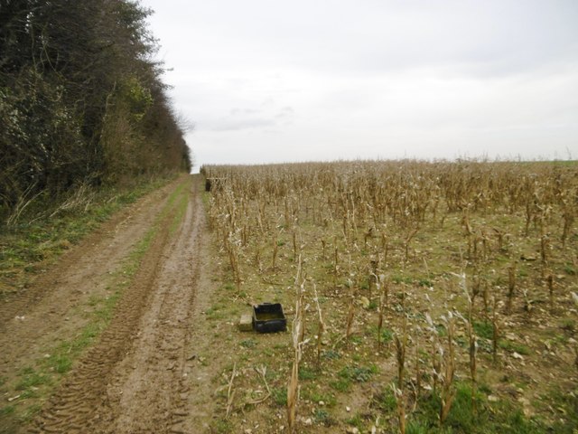
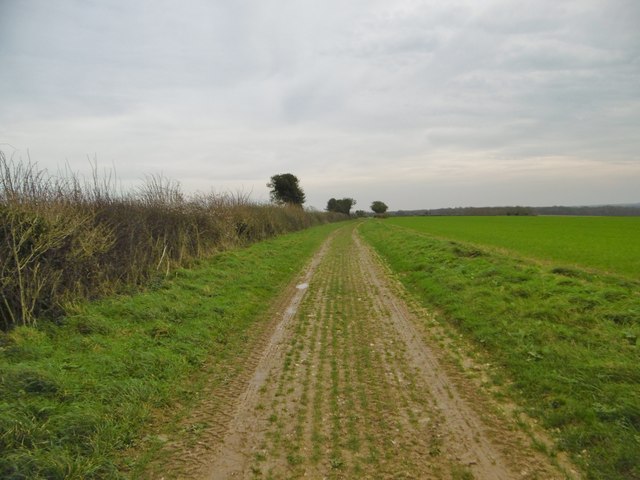
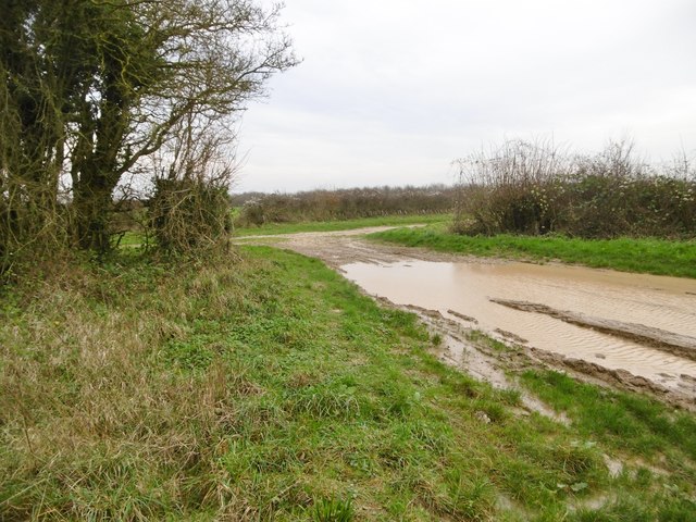
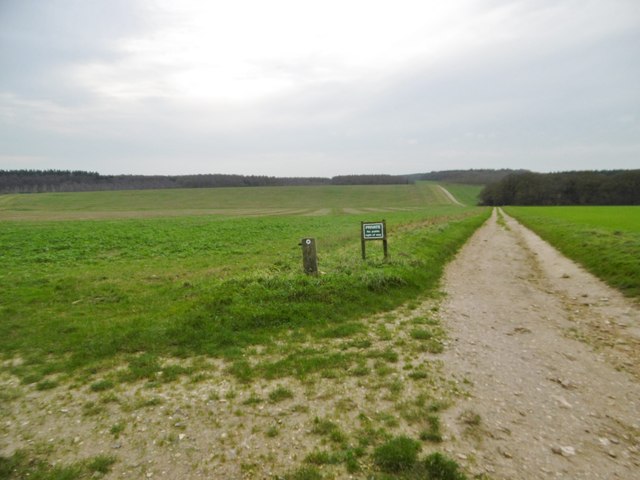
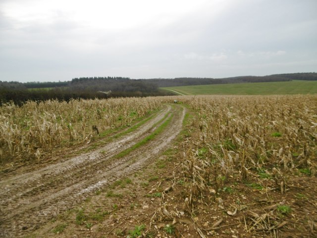
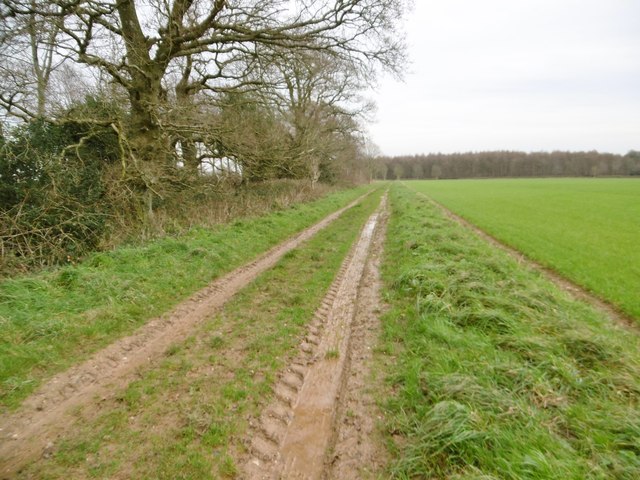
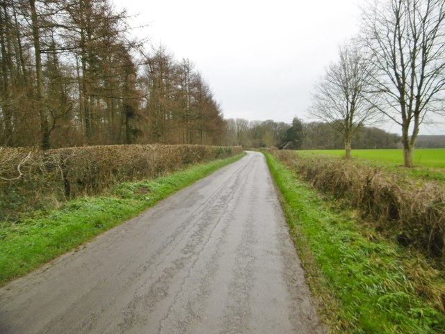
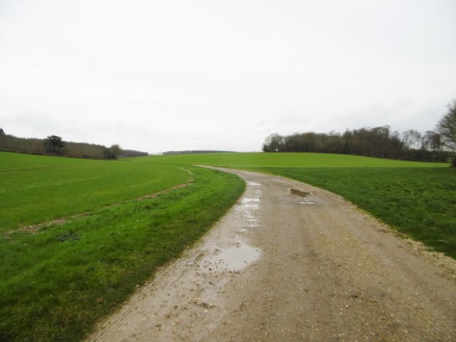
Honey Grove, Dorset is a charming woodland area located in the southern region of England. Nestled within the county of Dorset, this idyllic spot is known for its captivating beauty and serene atmosphere. Honey Grove is particularly renowned for its lush woodlands and expansive forests, making it a popular destination for nature enthusiasts and outdoor adventurers.

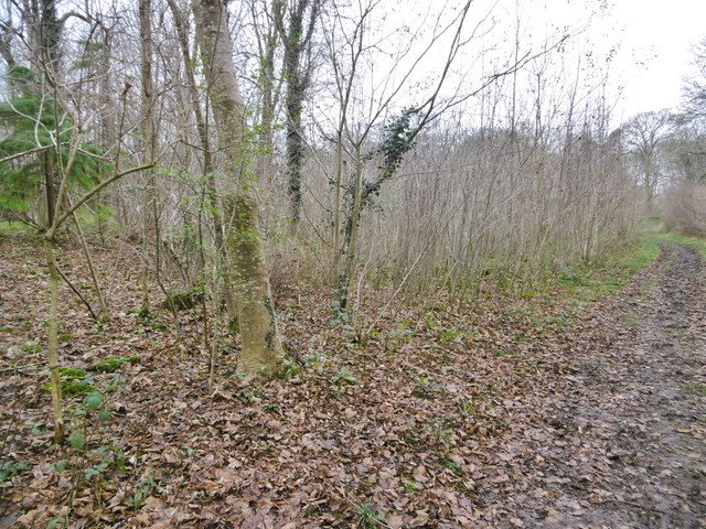
The area is characterized by its dense canopy of deciduous and evergreen trees, creating a picturesque landscape that changes dramatically with the seasons. The woodlands of Honey Grove are home to a diverse range of flora and fauna, with an abundance of oak, beech, and birch trees dominating the scenery. The forest floor is carpeted with a variety of wildflowers, adding a burst of color to the surroundings.

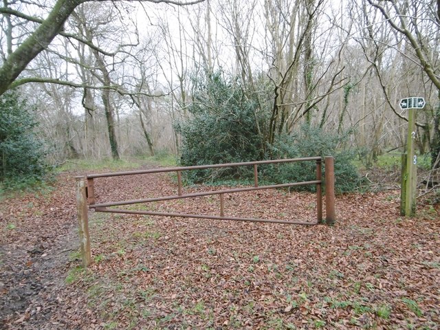
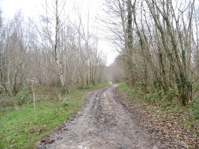
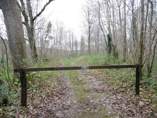
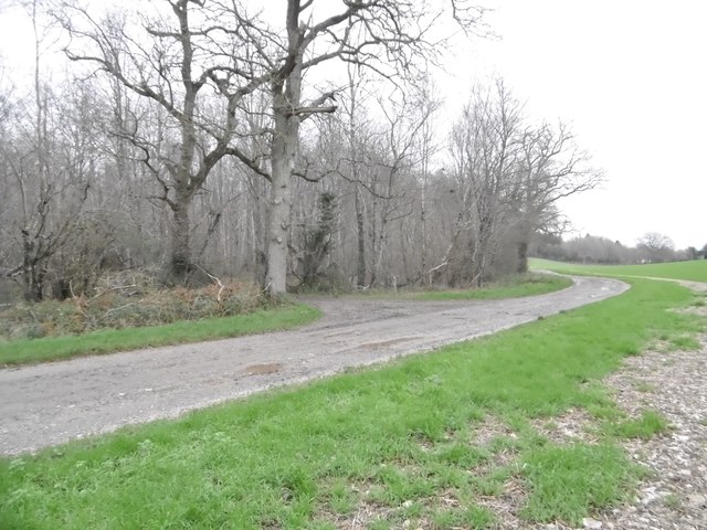
Visitors to Honey Grove can indulge in a multitude of outdoor activities. Hiking and walking trails meander through the vast forest, offering breathtaking views and opportunities for exploration. Nature lovers can spot a wide array of wildlife, including deer, foxes, rabbits, and numerous bird species.

In addition to its natural beauty, Honey Grove is known for its tranquil ambiance. The peacefulness of the area allows visitors to escape the hustle and bustle of everyday life and immerse themselves in the serenity of nature. Whether it's a leisurely stroll through the woods, a picnic by a babbling brook, or simply basking in the tranquility of the surroundings, Honey Grove provides a serene retreat for those seeking solace in nature.

Overall, Honey Grove, Dorset is a captivating woodland area that enchants visitors with its breathtaking scenery, diverse wildlife, and peaceful atmosphere. It is a haven for nature lovers and a place where one can truly appreciate the beauty and serenity of the natural world.

If you have any feedback on the listing, please let us know in the comments section below.

Honey Grove Images

Images are sourced within 2km of 50.875064/-2.0384648 or Grid Reference ST9708. Thanks to Geograph Open Source API. All images are credited.

St Mary’s Church, Long Crichel Now redundant, and in the care of the charity “Friends of Friendless Churches”.
St Mary’s Church, Long Crichel
Now redundant, and in the care of the charity “Friends of Friendless Churches”.
St Mary’s Church, Long Crichel Now redundant, and in the care of the charity “Friends of Friendless Churches”.
St Mary’s Church, Long Crichel
Now redundant, and in the care of the charity “Friends of Friendless Churches”.
Bends in lane east of Holly Grove Coppice
Long Crichel church St. Mary's is grade II listed, Victorian apart from the 15th century tower.
Long Crichel church
St. Mary's is grade II listed, Victorian apart from the 15th century tower.
Long Crichel, woodland Many of the local downland high points have been planted with blocks or lines of woodland, presumably as windbreaks, and now used as game bird coverts.
Long Crichel, woodland
Many of the local downland high points have been planted with blocks or lines of woodland, presumably as windbreaks, and now used as game bird coverts.
Long Crichel, maize stubble Many of the local fields have strips of stubble that have not been ploughed in, and are used as coverts for game birds - note the feeders.
Long Crichel, maize stubble
Many of the local fields have strips of stubble that have not been ploughed in, and are used as coverts for game birds - note the feeders.
Long Crichel, bridleway Bridleway and farm track, heading towards Moor Crichel alongside cereal fields.
Long Crichel, bridleway
Bridleway and farm track, heading towards Moor Crichel alongside cereal fields.
Long Crichel, bridleway junction Left, to Long Crichel; right, to Moor Crichel.
Long Crichel, bridleway junction
Left, to Long Crichel; right, to Moor Crichel.
Long Crichel, marker & notice The bridleway to Moor Crichel takes a sharp left turn here; ahead is a private farm road.
Long Crichel, marker & notice
The bridleway to Moor Crichel takes a sharp left turn here; ahead is a private farm road.
Long Crichel, maize stubble Many local fields have strips of stubble not ploughed in, kept as coverts for game birds.
Long Crichel, maize stubble
Many local fields have strips of stubble not ploughed in, kept as coverts for game birds.
Long Crichel, bridleway Bridleway and farm track, heading towards Moor Crichel. Technically, the bridleway is shown 50m to the South, but riders use this track in preference.
Long Crichel, bridleway
Bridleway and farm track, heading towards Moor Crichel. Technically, the bridleway is shown 50m to the South, but riders use this track in preference.
Long Crichel, minor road From Long Crichel to Manswood and Witchampton.
Long Crichel, minor road
From Long Crichel to Manswood and Witchampton.
Moor Crichel, gate & marker At the northern end of Coutman's Croft, on the bridleway to Manswood.
Moor Crichel, gate & marker
At the northern end of Coutman's Croft, on the bridleway to Manswood.
Moor Crichel, Coutman's Croft Woodland, on the bridleway to Long Crichel. The northern end of the croft is still recognisably hazel coppice; here, scrub has developed, as a covert for game birds.
Moor Crichel, Coutman's Croft
Woodland, on the bridleway to Long Crichel. The northern end of the croft is still recognisably hazel coppice; here, scrub has developed, as a covert for game birds.
Manswood, farm road Bridleway and farm road from isolated buildings, through Coutman's Croft towards Manswood.
Manswood, farm road
Bridleway and farm road from isolated buildings, through Coutman's Croft towards Manswood.
Manswood, gateway Into Coutman's Croft, a game bird covert.
Manswood, gateway
Into Coutman's Croft, a game bird covert.
Manswood, bridleway junction Left, to Launceston Down; ahead, through Coutman's Croft to Long Crichel; right, to Manswood.
Manswood, bridleway junction
Left, to Launceston Down; ahead, through Coutman's Croft to Long Crichel; right, to Manswood.
Manswood, farm road Farm road and bridleway, towards the Tarrants.
Manswood, farm road
Farm road and bridleway, towards the Tarrants.
Show me another place!

Honey Grove is located at Grid Ref: ST9708 (Lat: 50.875064, Lng: -2.0384648)

Unitary Authority: Dorset

Police Authority: Dorset

What 3 Words

///stardom.testy.beaters. Near Pimperne, Dorset

Related Wikis

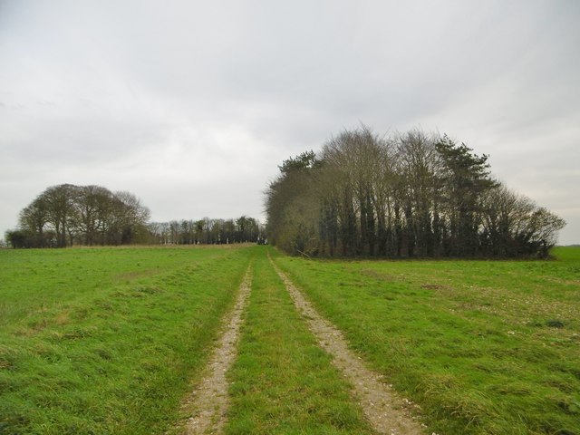
Bryanston SSSI, Dorset

Bryanston SSSI (grid reference ST974070) is a 0.3 hectare biological Site of Special Scientific Interest in Dorset, England notified in 1977. It is used...

Long Crichel

Long Crichel () is a small village and former civil parish, now in the parish of Crichel, in east Dorset, England, situated on Cranborne Chase five miles...

Knowlton Hundred

Knowlton Hundred was a hundred in the county of Dorset, England, containing the following parishes: Gussage All Saints Long Crichel Woodlands == See... ==

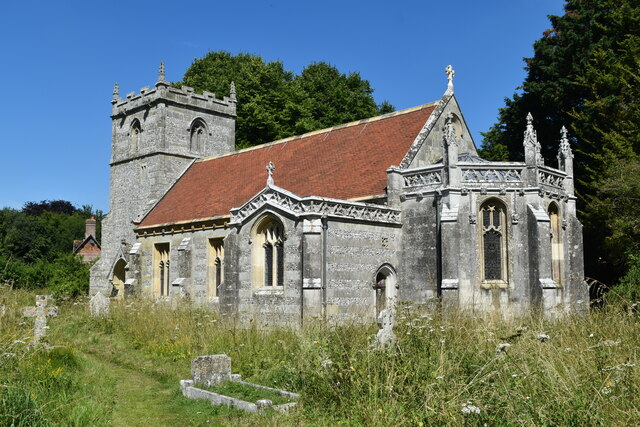
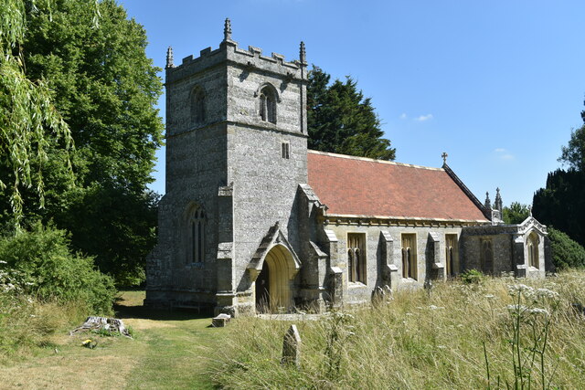
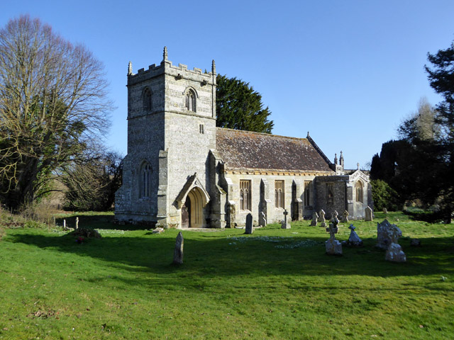
St Mary's Church, Long Crichel

St Mary's Church is in the village of Long Crichel, Dorset, England. It is a redundant Anglican parish church that has been under the care of the Friends...

Moor Crichel

Moor Crichel () is a village and former civil parish, now in the parish of Crichel, in East Dorset, England situated on Cranborne Chase five miles east...

Crichel House

Crichel House is a Grade I listed, Classical Revival country house near the village of Moor Crichel in Dorset, England. The house has an entrance designed...

Witchampton

Witchampton is a village and civil parish in East Dorset, England, situated on the River Allen 5 miles (8 km) north of Wimborne Minster. The 2011 census...

Tarrant Monkton

Tarrant Monkton is a village and civil parish in north Dorset, England, situated in the Tarrant Valley about four miles (six kilometres) east-northeast...

Related Videos

Glamping and Chill

london #londonlife #london #adventure #camping #glamping #nature #secretlondon #fujifilmphotography #fujifilm_xseries ...

White mill bridge #hobby #wimborne #dorset #droneview #dronephotography #foryou #fyp #dji #djimini3

wimborneminster # Wimborne from above a view around the town #hobby #dorset #dronephotography #droneview #dji #djimini3 ...

Capture A Wintery Day in Dorset [Mike Browne Photo Biker 8]

The sky is blue so let's jump on the Triumph Legend, take a ride down some beautiful back roads into Dorset and see what photo ...

Nearby Amenities

Located within 500m of 50.875064,-2.0384648
Post Box
Description: West side of road.
Fixme: Notes say there is a T-jn here.
Post Box Type: lamp
Ref: BH21 138
Lat/Long: 50.873253/-2.032256
Manswood
Place: hamlet
Lat/Long: 50.8717733/-2.0336318
Material: wood
Power: pole
Source: bing
Lat/Long: 50.8762362/-2.0322241
Post Box
Post Box Mounting: wooden_post
Post Box Type: lamp
Ref GB Uprn: 10015399936
Lat/Long: 50.8749862/-2.0320954
The data included in this document is from www.openstreetmap.org. The data is made available under ODbL.

Have you been to Honey Grove?

Leave your review of Honey Grove below (or comments, questions and feedback).