Little Coppice
Wood, Forest in Dorset
England
Little Coppice
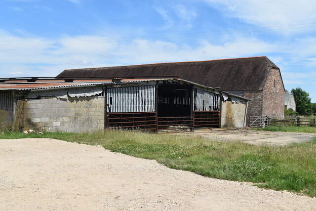
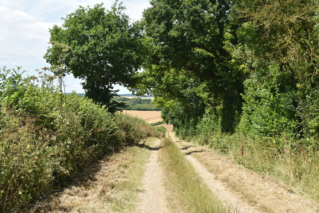
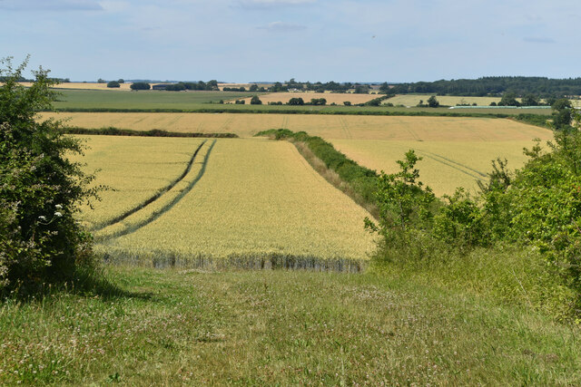
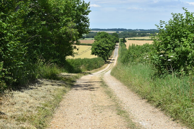
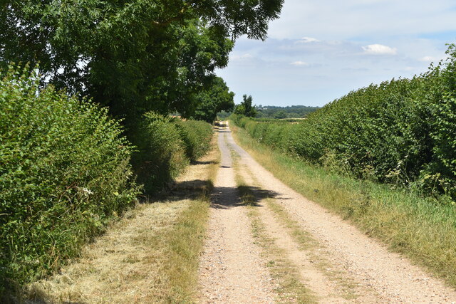
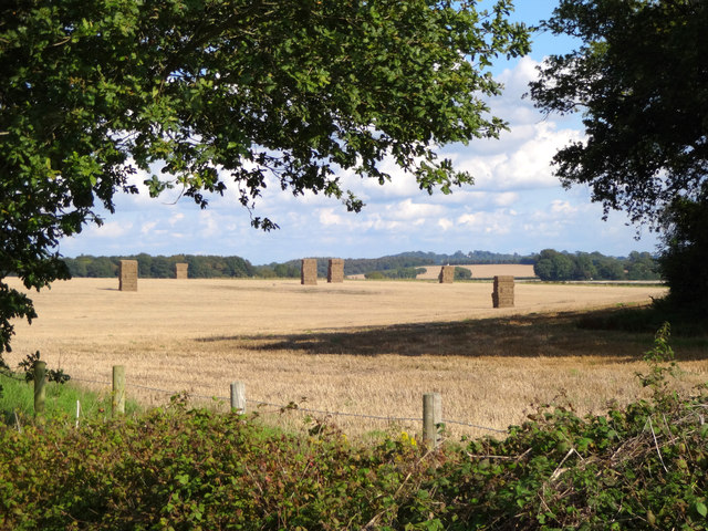
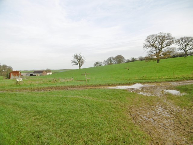
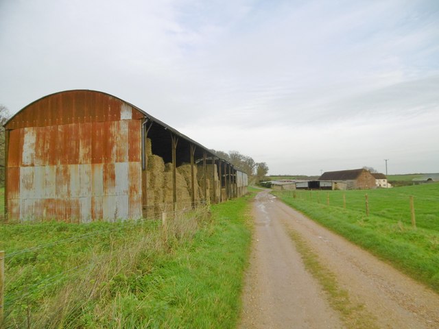
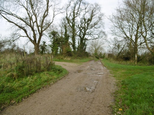
Little Coppice is a charming woodland located in the county of Dorset in the southwest of England. Situated near the village of Coppice, this small but picturesque forest covers an area of approximately 50 acres.
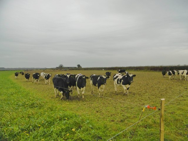
The woodland is predominantly made up of native broadleaf trees, including oak, ash, beech, and birch, which create a dense canopy overhead. These trees provide a tranquil and shady environment, making Little Coppice a popular destination for nature lovers and walkers seeking a peaceful retreat.
The forest floor is covered in a thick carpet of moss, ferns, and wildflowers, creating a vibrant and colorful undergrowth. This diverse ecosystem supports a variety of wildlife, including squirrels, rabbits, and a wide range of bird species such as woodpeckers and owls. It is not uncommon to hear the melodic songs of birds echoing through the trees as you explore the woodland.
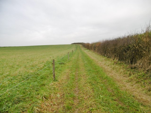
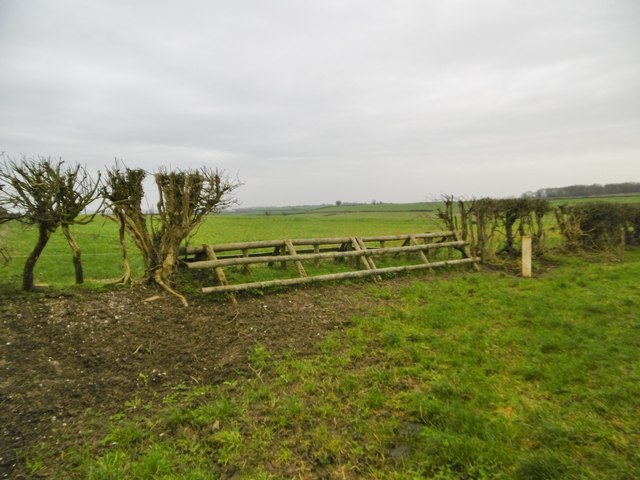
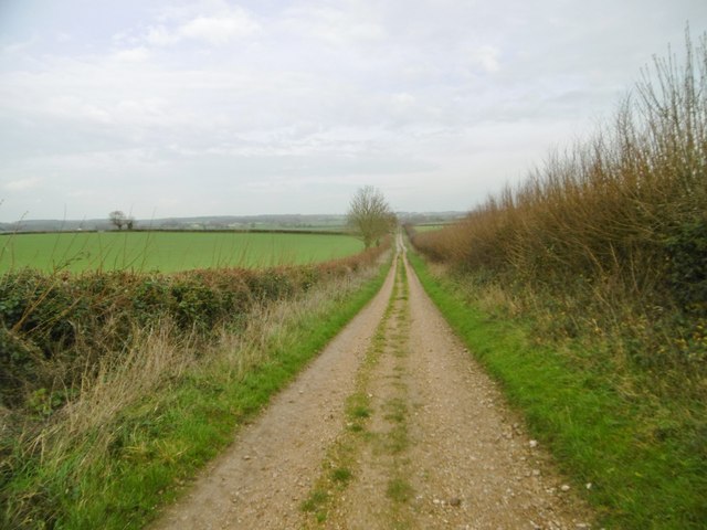
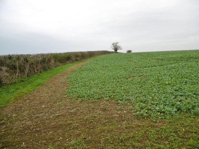
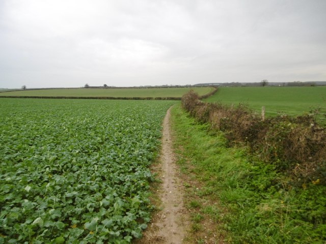
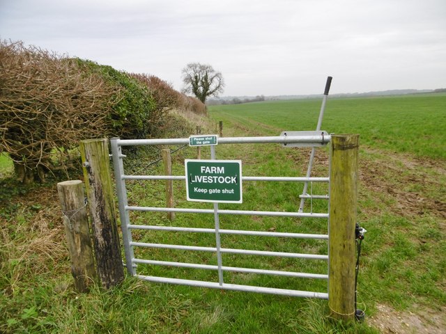
Little Coppice also features a network of well-maintained footpaths, allowing visitors to navigate through the forest with ease. These paths lead to secluded clearings and tranquil ponds, providing opportunities for picnics or moments of reflection amidst the natural beauty.
The woodland is a popular spot for nature photography, with its enchanting scenery and abundance of flora and fauna. It is also a designated Site of Special Scientific Interest (SSSI), highlighting its importance for conservation and protection.
Overall, Little Coppice offers a peaceful and enchanting escape into nature, providing visitors with a chance to connect with the natural world and enjoy the tranquility of the Dorset countryside.
If you have any feedback on the listing, please let us know in the comments section below.
Little Coppice Images
Images are sourced within 2km of 50.848374/-2.0387268 or Grid Reference ST9705. Thanks to Geograph Open Source API. All images are credited.
Little Coppice is located at Grid Ref: ST9705 (Lat: 50.848374, Lng: -2.0387268)
Unitary Authority: Dorset
Police Authority: Dorset
What 3 Words
///isolating.transit.ignoring. Near Sturminster Marshall, Dorset
Nearby Locations
Related Wikis

Bryanston SSSI, Dorset
Bryanston SSSI (grid reference ST974070) is a 0.3 hectare biological Site of Special Scientific Interest in Dorset, England notified in 1977. It is used...

Witchampton
Witchampton is a village and civil parish in East Dorset, England, situated on the River Allen 5 miles (8 km) north of Wimborne Minster. The 2011 census...
Badbury Hundred
Badbury Hundred was a hundred in the county of Dorset, England, which took its name from the earthwork of Badbury Rings. It contained the following parishes...

RAF Tarrant Rushton
Royal Air Force Tarrant Rushton or more simply RAF Tarrant Rushton is a former Royal Air Force station near the village of Tarrant Rushton east of Blandford...

Badbury Rings
Badbury Rings is an Iron Age hill fort and Scheduled Monument in east Dorset, England. It was in the territory of the Durotriges. In the Roman era a temple...

Hinton Parva
Hinton Parva is a hamlet and former civil parish, now in the civil parish of Hinton, in east Dorset, England, three miles north of Wimborne Minster. The...

Crichel House
Crichel House is a Grade I listed, Classical Revival country house near the village of Moor Crichel in Dorset, England. The house has an entrance designed...

Tarrant Rushton
Tarrant Rushton is a village and civil parish in north Dorset, England. The village is situated in the Tarrant Valley about three miles (five kilometres...
Nearby Amenities
Located within 500m of 50.848374,-2.0387268Have you been to Little Coppice?
Leave your review of Little Coppice below (or comments, questions and feedback).