Home Covert
Wood, Forest in Dorset
England
Home Covert
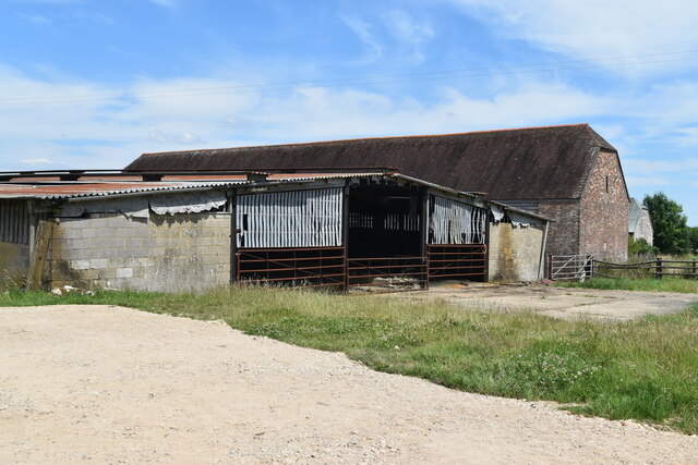
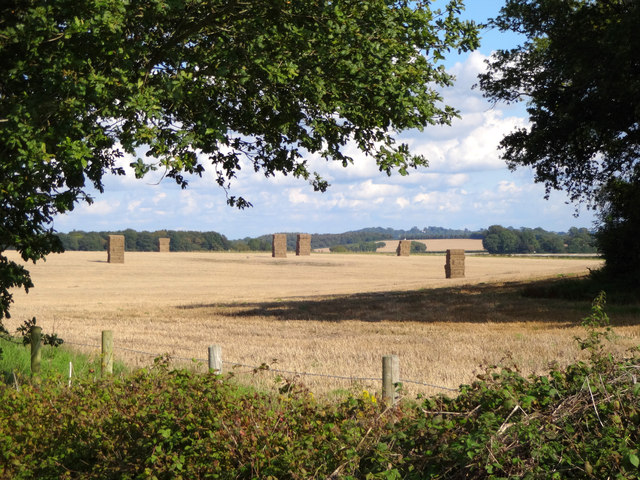
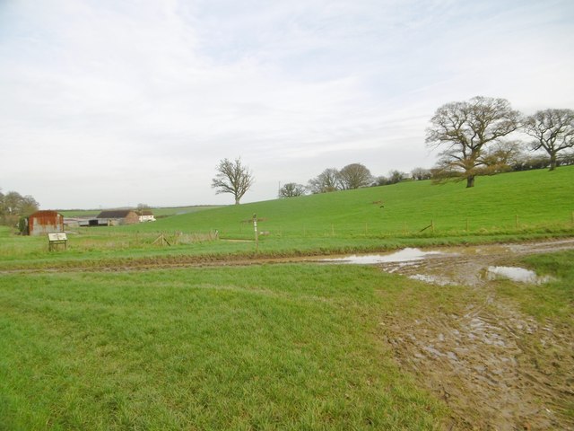
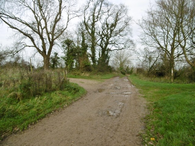
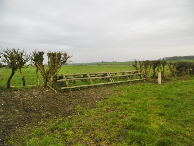
Home Covert is a dense woodland located in the county of Dorset, England. It is situated in the southern part of the county, near the town of Wareham. Covering an area of approximately X square kilometers, this forested region is a haven for nature enthusiasts and wildlife.
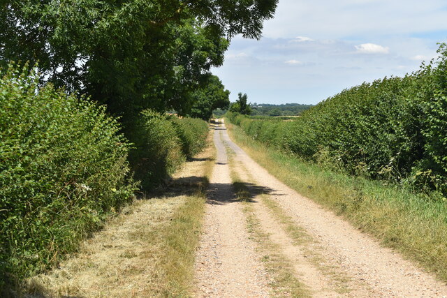
The woodland is predominantly composed of deciduous trees, such as oak, beech, and birch, which provide a lush green canopy during the summer months. The forest floor is carpeted with a variety of flora, including bluebells, ferns, and mosses, creating a vibrant and picturesque environment.
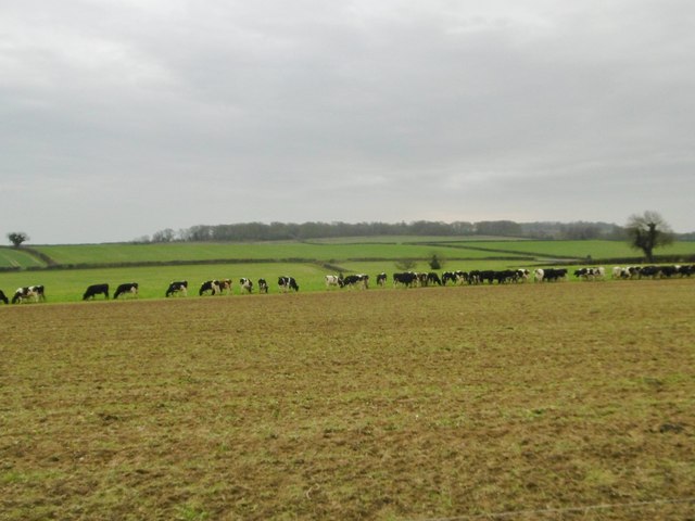
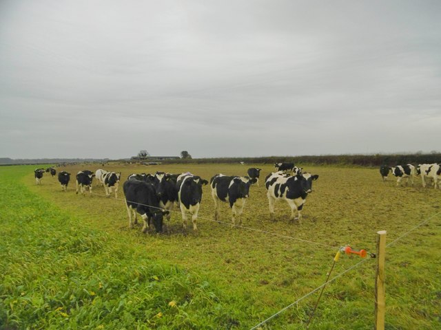
Home Covert is home to a diverse range of wildlife. Various bird species can be spotted here, including owls, woodpeckers, and songbirds. The forest also provides a habitat for mammals such as deer, foxes, and badgers. Additionally, the presence of numerous insects and reptiles adds to the biodiversity of the area.
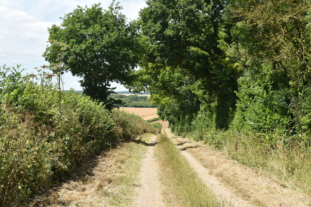
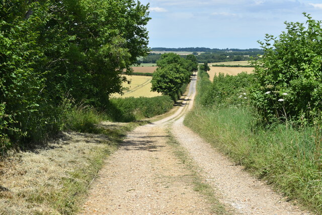
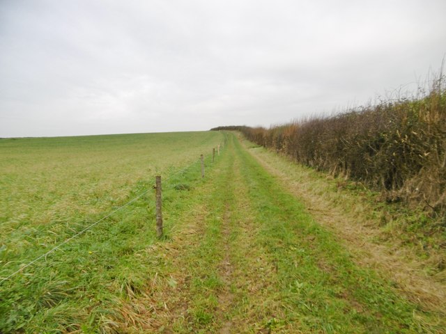
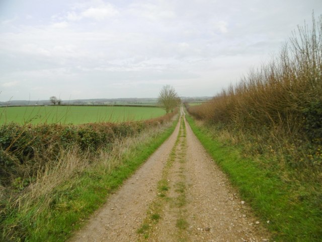
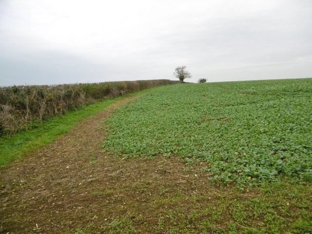
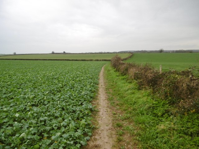
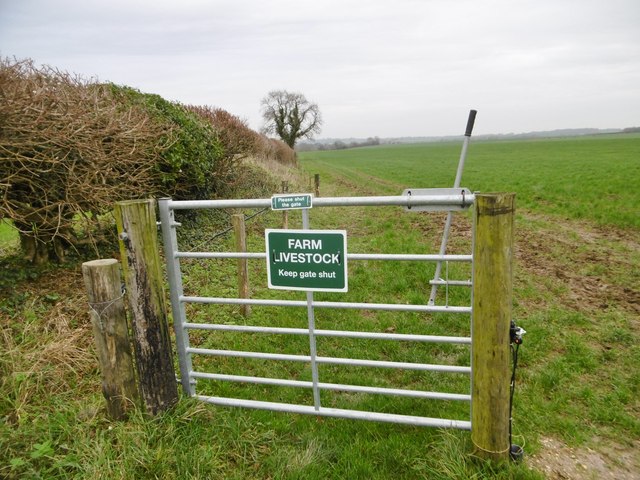
The woodland offers numerous walking trails and footpaths, allowing visitors to explore its beauty. The paths wind through the trees, offering glimpses of sunlight filtering through the foliage. These trails are well-maintained and suitable for all levels of hikers, from beginners to experienced trekkers.
Home Covert is not only a place of natural beauty but also holds historical significance. It is believed that the woodland was used as a hideout during medieval times, providing shelter for outlaws and fugitives. Today, remnants of this past can still be seen in the form of old stone structures and ruins scattered throughout the area.
Overall, Home Covert in Dorset is a stunning forested area, offering a tranquil escape from the hustle and bustle of everyday life. Its rich biodiversity, picturesque landscapes, and historical charm make it a popular destination for both locals and tourists alike.
If you have any feedback on the listing, please let us know in the comments section below.
Home Covert Images
Images are sourced within 2km of 50.848033/-2.0370219 or Grid Reference ST9705. Thanks to Geograph Open Source API. All images are credited.
Home Covert is located at Grid Ref: ST9705 (Lat: 50.848033, Lng: -2.0370219)
Unitary Authority: Dorset
Police Authority: Dorset
What 3 Words
///create.videos.picturing. Near Sturminster Marshall, Dorset
Nearby Locations
Related Wikis

Bryanston SSSI, Dorset
Bryanston SSSI (grid reference ST974070) is a 0.3 hectare biological Site of Special Scientific Interest in Dorset, England notified in 1977. It is used...

Witchampton
Witchampton is a village and civil parish in East Dorset, England, situated on the River Allen 5 miles (8 km) north of Wimborne Minster. The 2011 census...
Badbury Hundred
Badbury Hundred was a hundred in the county of Dorset, England, which took its name from the earthwork of Badbury Rings. It contained the following parishes...

Hinton Parva
Hinton Parva is a hamlet and former civil parish, now in the civil parish of Hinton, in east Dorset, England, three miles north of Wimborne Minster. The...

Badbury Rings
Badbury Rings is an Iron Age hill fort and Scheduled Monument in east Dorset, England. It was in the territory of the Durotriges. In the Roman era a temple...

RAF Tarrant Rushton
Royal Air Force Tarrant Rushton or more simply RAF Tarrant Rushton is a former Royal Air Force station near the village of Tarrant Rushton east of Blandford...

Crichel House
Crichel House is a Grade I listed, Classical Revival country house near the village of Moor Crichel in Dorset, England. The house has an entrance designed...

Moor Crichel
Moor Crichel () is a village and former civil parish, now in the parish of Crichel, in East Dorset, England situated on Cranborne Chase five miles east...
Nearby Amenities
Located within 500m of 50.848033,-2.0370219Have you been to Home Covert?
Leave your review of Home Covert below (or comments, questions and feedback).