Allen's Rough
Wood, Forest in Staffordshire
England
Allen's Rough
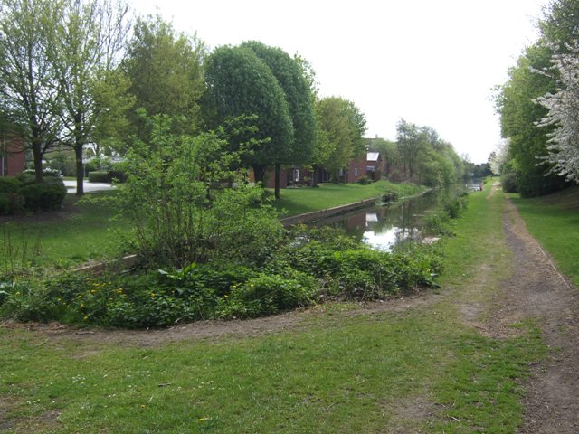
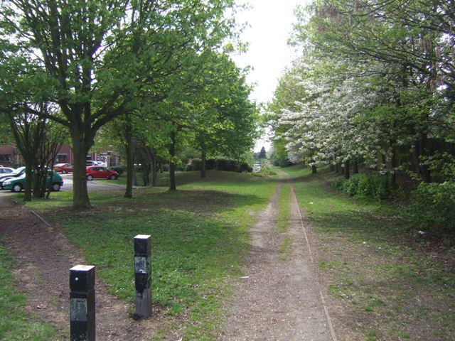
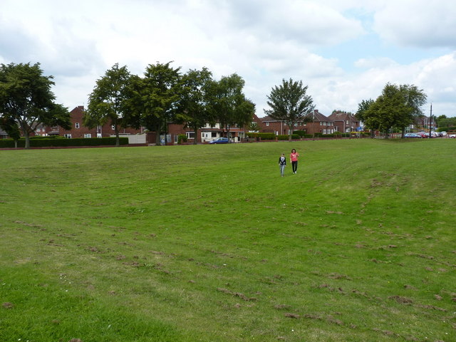
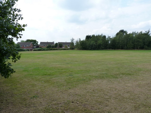
Allen's Rough is a scenic woodland area located in Staffordshire, England. Spanning over a vast expanse, this forested terrain is renowned for its natural beauty and tranquil atmosphere. The rough is home to a diverse range of flora and fauna, making it a haven for nature enthusiasts and wildlife lovers alike.
The woodland is characterized by its dense, towering trees, dominated by species such as oak, beech, and birch. The lush undergrowth is adorned with an array of wildflowers, ferns, and mosses, creating a picturesque landscape. Walking trails wind their way through the rough, allowing visitors to explore the forest and admire its breathtaking scenery.
Wildlife thrives within Allen's Rough, with numerous species finding refuge in its protected environment. Birdwatchers can spot a variety of avian species, including woodpeckers, owls, and warblers. Mammals such as deer, foxes, and badgers can also be observed, adding to the rich biodiversity of the area.
The rough is a popular destination for outdoor activities, providing opportunities for hiking, cycling, and picnicking. The well-maintained trails cater to all fitness levels, ensuring that visitors can enjoy the forest at their own pace. Additionally, designated picnic areas offer a serene setting for families and friends to relax and enjoy a meal surrounded by nature's beauty.
Allen's Rough is not only a sanctuary for wildlife but also a place of respite for those seeking solace in nature. Its untouched charm and peaceful ambiance make it an ideal destination for individuals looking to escape the hustle and bustle of everyday life.
If you have any feedback on the listing, please let us know in the comments section below.
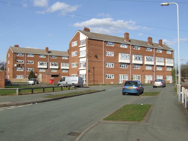
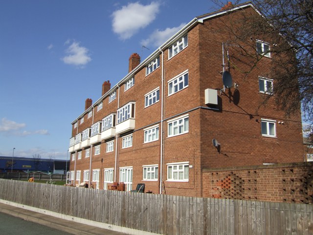
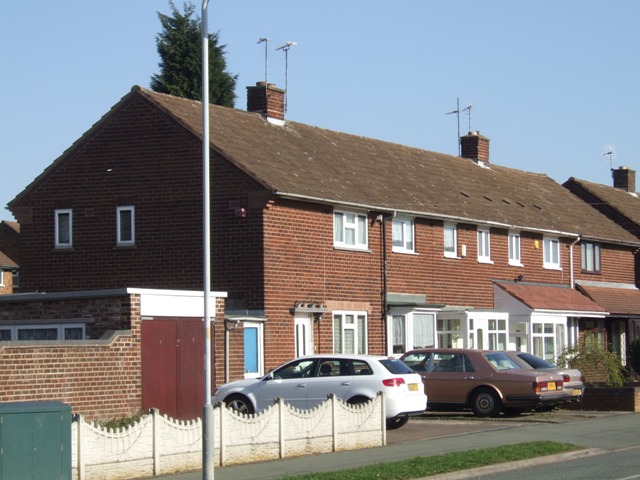
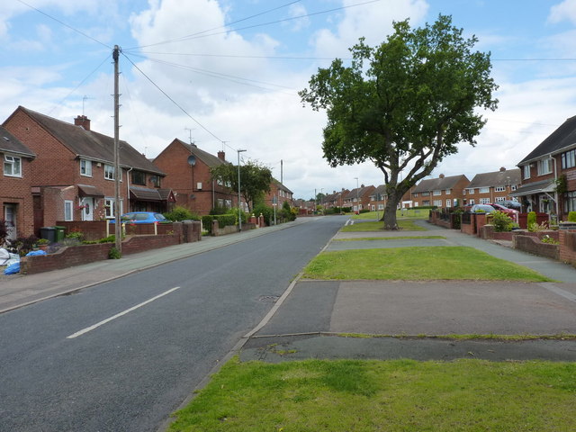
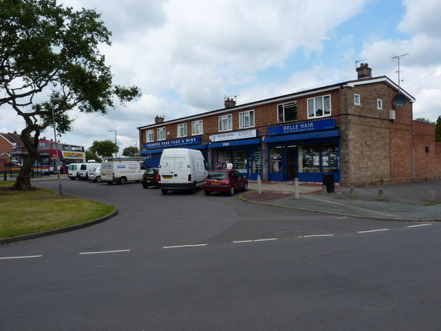
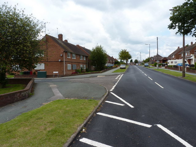
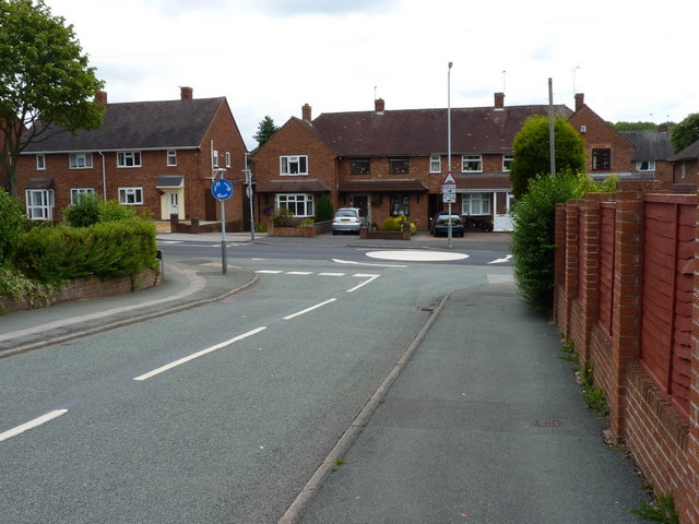
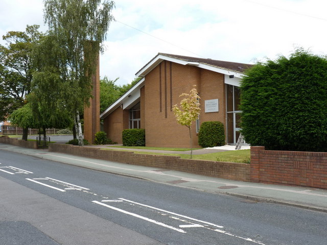
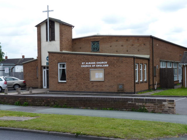
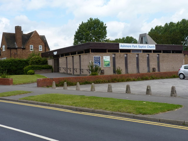
Allen's Rough Images
Images are sourced within 2km of 52.616844/-2.0406482 or Grid Reference SJ9702. Thanks to Geograph Open Source API. All images are credited.

Allen's Rough is located at Grid Ref: SJ9702 (Lat: 52.616844, Lng: -2.0406482)
Unitary Authority: Walsall
Police Authority: West Midlands
What 3 Words
///bake.skills.prove. Near Essington, Staffordshire
Nearby Locations
Related Wikis

New Invention, Willenhall
New Invention is a large estate around three miles (4.8 km) north of the town of Willenhall and four miles (6.4 km) east of the city of Wolverhampton in...
Sneyd Comprehensive School
Sneyd Comprehensive School was a secondary school located in Bloxwich, West Midlands, England. The building of the school started in 1978, to serve the...
Black Country UTC
Black Country UTC was a university technical college (UTC) located in the Bloxwich area of Walsall, West Midlands, England. The University of Wolverhampton...
Coppice Performing Arts School
Coppice Performing Arts School is an 11–18 mixed secondary school and sixth form with academy status in Wednesfield, Wolverhampton, West Midlands, England...
Wednesfield North (ward)
Wednesfield North is a ward of Wolverhampton City Council, West Midlands. As the name suggests, it covers the northern parts of the town of Wednesfield...

Short Heath, Willenhall
Short Heath is a residential area situated north of the market town of Willenhall, in the Metropolitan Borough of Walsall, West Midlands, England. Short...

Essington
Essington is a village and civil parish in South Staffordshire, England, located near the city of Wolverhampton and towns of Walsall, Bloxwich, Cannock...
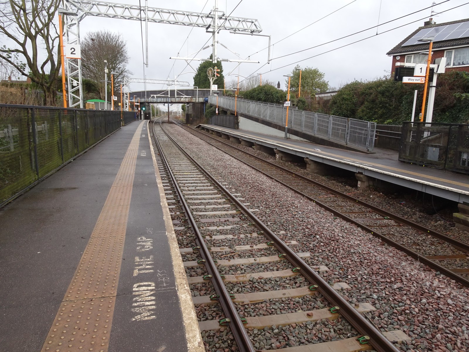
Bloxwich North railway station
Bloxwich North railway station serves the town of Bloxwich in the Metropolitan Borough of Walsall, West Midlands, England. The station, and all trains...
Nearby Amenities
Located within 500m of 52.616844,-2.0406482Have you been to Allen's Rough?
Leave your review of Allen's Rough below (or comments, questions and feedback).