Ox Close Plantation

Wood, Forest in Northumberland

England

Ox Close Plantation

Threatening skies over the Till Late afternoon and the sky over the Till floodplain threatens rain - in the end, just a few drops fell.

This photograph was taken during the Coronavirus (COVID-19) pandemic of 2020/21/22.
Threatening skies over the Till Credit: James T M Towill

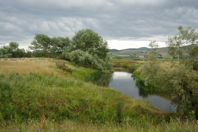
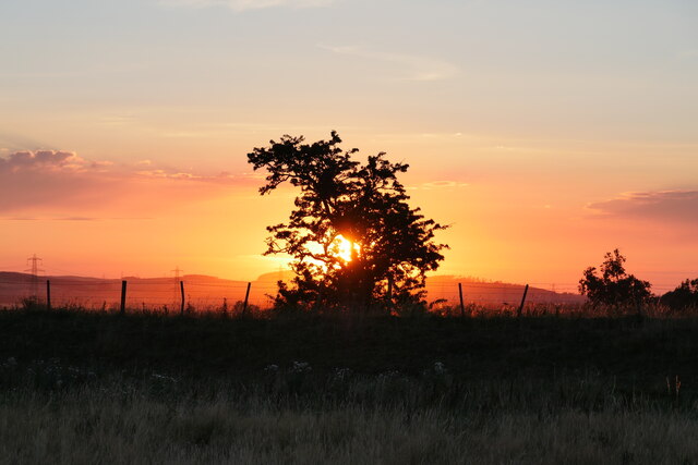
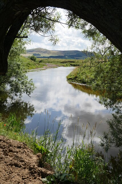
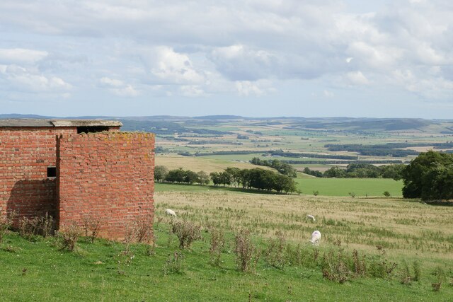
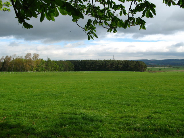
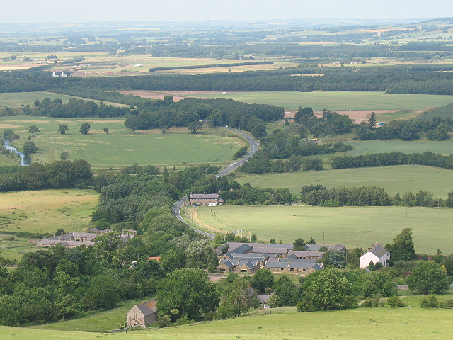
Ox Close Plantation is a sprawling wood located in Northumberland, England. This forested area covers approximately 100 acres of land and is renowned for its natural beauty and diverse range of flora and fauna.

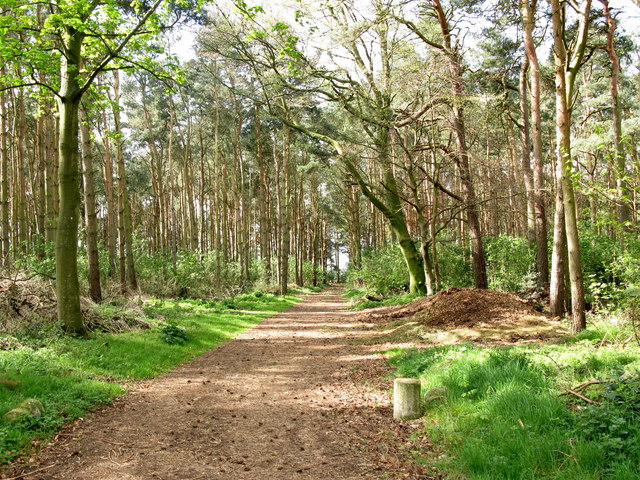
The plantation is predominantly made up of mature trees, including oak, ash, and beech, which provide a dense canopy, creating a tranquil and shaded environment. The woodland floor is covered with a rich carpet of wildflowers, creating a picturesque landscape.

The plantation is a haven for wildlife, with a variety of bird species, including woodpeckers, owls, and thrushes, making it their home. The forest also supports a population of small mammals, such as squirrels and rabbits, as well as larger mammals like deer and foxes.

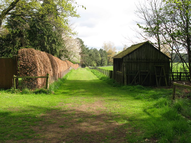
Visitors to Ox Close Plantation can enjoy a network of well-marked paths that wind their way through the woodland, providing opportunities for leisurely walks and exploration. The plantation is a popular destination for nature enthusiasts, photographers, and families looking to reconnect with nature.

In addition to its natural beauty, Ox Close Plantation also has historical significance. It is believed that the woodland has been managed and used for timber production for centuries, and remnants of old structures, such as saw pits and charcoal hearths, can still be found within the plantation.

Overall, Ox Close Plantation in Northumberland offers a unique and captivating natural experience, with its ancient trees, diverse wildlife, and rich history, making it a must-visit destination for those seeking a peaceful retreat in the heart of nature.

If you have any feedback on the listing, please let us know in the comments section below.

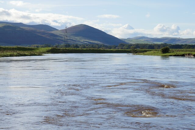
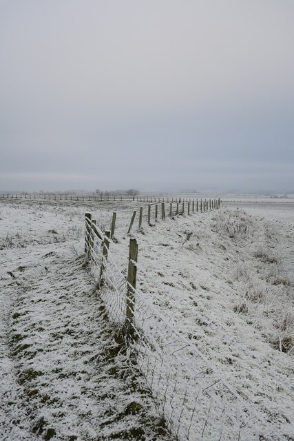
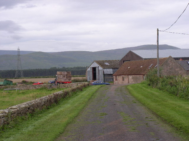
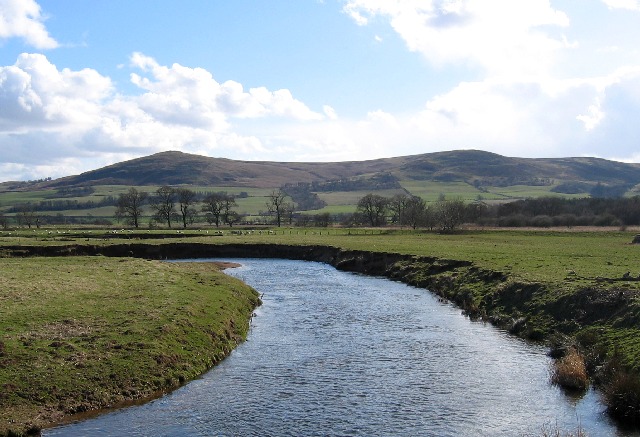
Ox Close Plantation Images

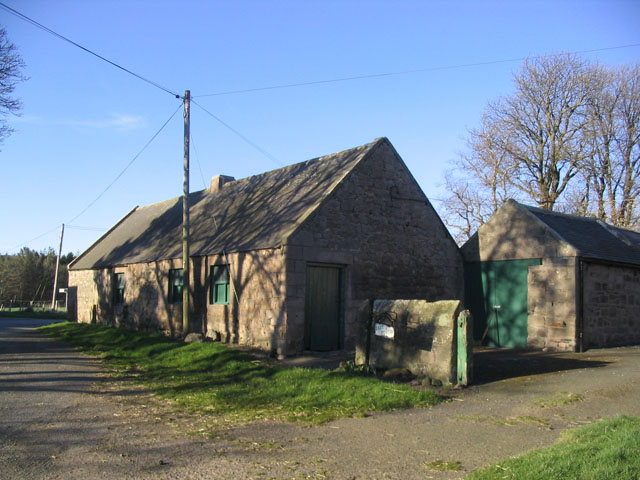
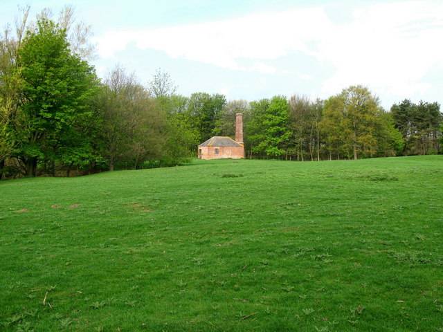
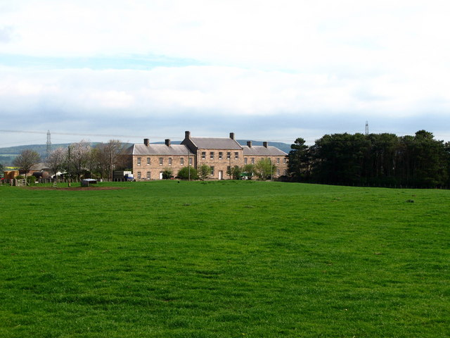
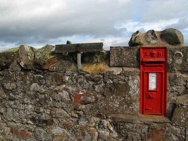
Images are sourced within 2km of 55.582441/-2.0459912 or Grid Reference NT9732. Thanks to Geograph Open Source API. All images are credited.

Threatening skies over the Till Late afternoon and the sky over the Till floodplain threatens rain - in the end, just a few drops fell.

This photograph was taken during the Coronavirus (COVID-19) pandemic of 2020/21/22.
Threatening skies over the Till
Late afternoon and the sky over the Till floodplain threatens rain - in the end, just a few drops fell. This photograph was taken during the Coronavirus (COVID-19) pandemic of 2020/21/22.
A north Northumbrian sunset The sunset captured on a late evening walk in the Till floodplain south of Doddington.

This photograph was taken during the Coronavirus (COVID-19) pandemic of 2020/21/22.
A north Northumbrian sunset
The sunset captured on a late evening walk in the Till floodplain south of Doddington. This photograph was taken during the Coronavirus (COVID-19) pandemic of 2020/21/22.
View across pastures on the Till floodplain Grazing land beyond a cattle corral on the Till floodplain near Doddington.
View across pastures on the Till floodplain
Grazing land beyond a cattle corral on the Till floodplain near Doddington.
A shaded view of the Till The River Till partially 'framed' by a gnarled old Willow as captured on a glorious July afternoon.  In the distance, Humbleton Hill is the prominent peak whilst further still, The Cheviot can be glimpsed.
A shaded view of the Till
The River Till partially 'framed' by a gnarled old Willow as captured on a glorious July afternoon. In the distance, Humbleton Hill is the prominent peak whilst further still, The Cheviot can be glimpsed.
A view to the Till floodplain from Coldside Hill A view towards the former RAF Milfield (now partially occupied by Borders Gliding Club) from beside one of the buildings at the former Coldside Hill Radio Station.
A view to the Till floodplain from Coldside Hill
A view towards the former RAF Milfield (now partially occupied by Borders Gliding Club) from beside one of the buildings at the former Coldside Hill Radio Station.
The swollen River Till after Storm Babet The River Till (and its tributaries, such as the River Glen) inundated the area two days earlier with large areas of standing water remaining across the Till floodplain.

Yeavering Bell is the prominent hill in the distance.
The swollen River Till after Storm Babet
The River Till (and its tributaries, such as the River Glen) inundated the area two days earlier with large areas of standing water remaining across the Till floodplain. Yeavering Bell is the prominent hill in the distance.
Bridge over turbid waters The swollen, turbid River Till flows under this bridge which affords access to the Till floodplain between Doddington and Akeld.
Bridge over turbid waters
The swollen, turbid River Till flows under this bridge which affords access to the Till floodplain between Doddington and Akeld.
Frosted fenceline on the flood embankment A chilly winter's day on the Till floodplain near Doddington.
Frosted fenceline on the flood embankment
A chilly winter's day on the Till floodplain near Doddington.
On the Till/Glen floodplain near Bridge End An early December mid-afternoon on the floodplain of the River Till and River Glen approaching the end of a prolonged cold snap.
On the Till/Glen floodplain near Bridge End
An early December mid-afternoon on the floodplain of the River Till and River Glen approaching the end of a prolonged cold snap.
West Fenton Farm View towards West Fenton Farm from East Fenton
West Fenton Farm
View towards West Fenton Farm from East Fenton
River Glen Looking south over the Millfield Plains towards the Cheviot foothills.
River Glen
Looking south over the Millfield Plains towards the Cheviot foothills.
Buildings at East Fenton Farm Farm buildings in dappled evening light.
Buildings at East Fenton Farm
Farm buildings in dappled evening light.
Ewart Park Brick built building with chimney, located on the outskirts of Ewart Park. Located nearby are brick kilns, built in the late 18th or early 19th century. The clay at Ewart was regarded as the best in Northumberland and the bricks from these kilns were used to build Ewart Bridge and the cottages and houses on the estate.
Ewart Park
Brick built building with chimney, located on the outskirts of Ewart Park. Located nearby are brick kilns, built in the late 18th or early 19th century. The clay at Ewart was regarded as the best in Northumberland and the bricks from these kilns were used to build Ewart Bridge and the cottages and houses on the estate.
Ewart Newtown The building was originally built in the 1870s as a hotel for a planned railway. However, the railway was never built and the building has since been used as an outdoor centre and as farm buildings.
Ewart Newtown
The building was originally built in the 1870s as a hotel for a planned railway. However, the railway was never built and the building has since been used as an outdoor centre and as farm buildings.
Ewart Newtown Ewart Newtown was originally built in the 1870s as a hotel for a planned railway. However, the railway was never built and the building has since been used as an outdoor centre and as farm buildings.
Ewart Newtown
Ewart Newtown was originally built in the 1870s as a hotel for a planned railway. However, the railway was never built and the building has since been used as an outdoor centre and as farm buildings.
Pond Plantation, Thirlings Cropmarks of six rectangular buildings were discovered by aerial photography at Thirlings. Excavations between 1973 and 1981 found they were built of timber and were similar to others found in the area that dated to the sixth or seventh centuries. Finds including an Anglo-Saxon knife and pottery suggest that this was a small Anglo-Saxon settlement although Neolithic pottery was also found.
Pond Plantation, Thirlings
Cropmarks of six rectangular buildings were discovered by aerial photography at Thirlings. Excavations between 1973 and 1981 found they were built of timber and were similar to others found in the area that dated to the sixth or seventh centuries. Finds including an Anglo-Saxon knife and pottery suggest that this was a small Anglo-Saxon settlement although Neolithic pottery was also found.
House Plantation, Thirlings
Grass path to Thirlings Cropmarks of six rectangular buildings were discovered by aerial photography at Thirlings. Excavations between 1973 and 1981 found they were built of timber and were similar to others found in the area that dated to the sixth or seventh centuries. Finds including an Anglo-Saxon knife and pottery suggest that this was a small Anglo-Saxon settlement although Neolithic pottery was also found.
Grass path to Thirlings
Cropmarks of six rectangular buildings were discovered by aerial photography at Thirlings. Excavations between 1973 and 1981 found they were built of timber and were similar to others found in the area that dated to the sixth or seventh centuries. Finds including an Anglo-Saxon knife and pottery suggest that this was a small Anglo-Saxon settlement although Neolithic pottery was also found.
Show me another place!

Ox Close Plantation is located at Grid Ref: NT9732 (Lat: 55.582441, Lng: -2.0459912)

Unitary Authority: Northumberland

Police Authority: Northumbria

What 3 Words

///dentistry.chain.crumple. Near Doddington, Northumberland

Nearby Locations

Ox Close Plantation

Related Wikis

River Glen, Northumberland

The River Glen is a seven mile long tributary of the River Till flowing through Northumberland, England. The College Burn and Bowmont Water, both flowing...

Nesbit, Northumberland

Nesbit is a hamlet and former civil parish, now in the parish of Doddington, Northumberland, England. It was once the site of a medieval village. In maps...

Doddington, Northumberland

The village and parish of Doddington are on the east side of the Milfield Plain, nearly 3 miles north of the town of Wooler, in the county of Northumberland...

Battle of Homildon Hill

The Battle of Holmedon Hill or Battle of Homildon Hill was a conflict between English and Scottish armies on 14 September 1402 in Northumberland, England...

Akeld railway station

Akeld was a stone built railway station serving the hamlet of Akeld in Northumberland, England. It was on the Alnwick to Cornhill Branch which ran from...

RAF Milfield

Royal Air Force Milfield or more simply RAF Milfield is a former Royal Air Force station which operated during the Second World War, located near Milfield...

Akeld

Akeld is a village and civil parish in Northumberland, England. It is situated around 2.7 miles (4.3 km) to the west of Wooler and 9.3 miles (15.0 km)...

Maelmin Henge

Maelmin Henge is modern interpretation/reconstruction of a henge monument near the village of Milfield, Northumberland in the Till Valley.It was built...

Nearby Amenities

Located within 500m of 55.582441,-2.0459912
Power: tower
Lat/Long: 55.5812889/-2.0398816
Power: tower
Lat/Long: 55.5854753/-2.0483951
Power: tower
Lat/Long: 55.5832487/-2.0438732
The data included in this document is from www.openstreetmap.org. The data is made available under ODbL.

Have you been to Ox Close Plantation?

Leave your review of Ox Close Plantation below (or comments, questions and feedback).