Stanleyhall Wood
Wood, Forest in Cheshire
England
Stanleyhall Wood
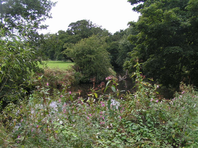
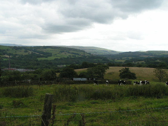
Stanleyhall Wood is a beautiful and tranquil forest located in Cheshire, England. Covering an area of approximately 100 acres, the wood is known for its diverse range of flora and fauna, making it a popular destination for nature enthusiasts and hikers alike.
The wood is predominantly made up of oak, beech, and birch trees, creating a dense canopy that provides shade and shelter for a variety of wildlife. Visitors to Stanleyhall Wood may be lucky enough to spot deer, squirrels, and a wide array of bird species as they explore the network of walking trails that wind through the forest.
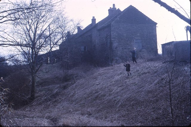
In addition to its natural beauty, Stanleyhall Wood also has a rich history, with evidence of human activity dating back to medieval times. The remains of an old manor house can still be seen within the wood, adding an extra layer of intrigue to this already enchanting location.
Overall, Stanleyhall Wood offers a peaceful retreat from the hustle and bustle of everyday life, where visitors can immerse themselves in the beauty of nature and soak up the serenity of this picturesque woodland setting.
If you have any feedback on the listing, please let us know in the comments section below.
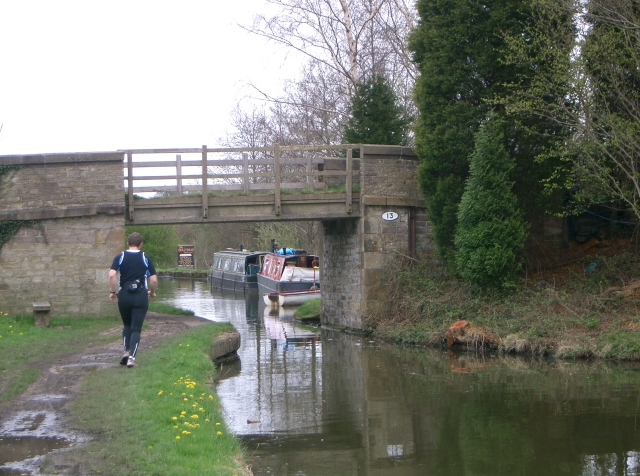
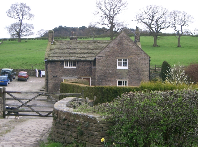
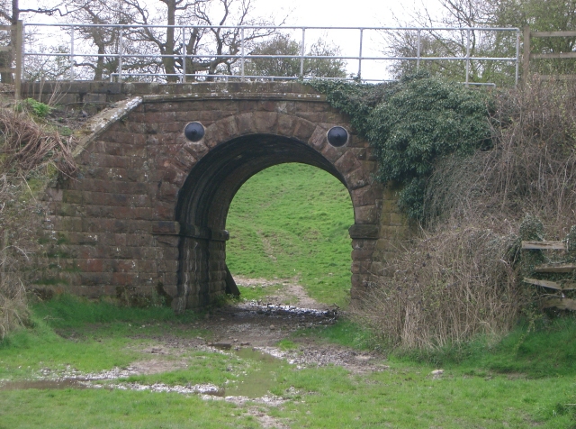
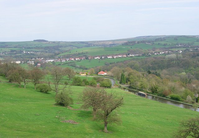
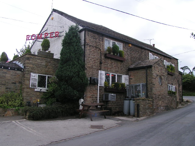
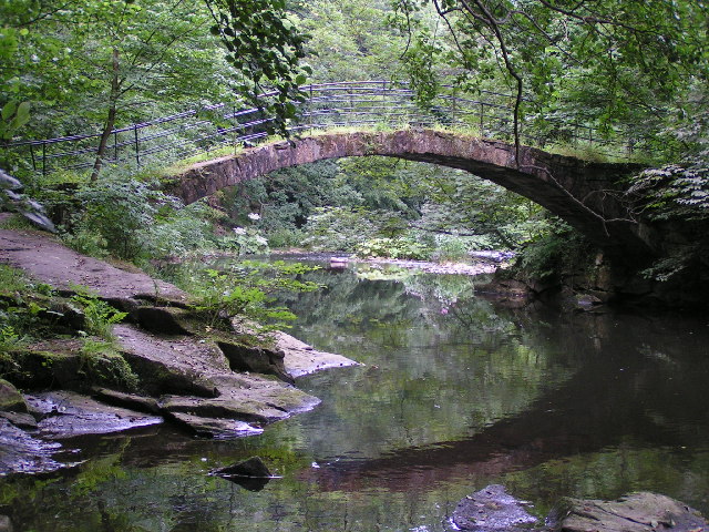
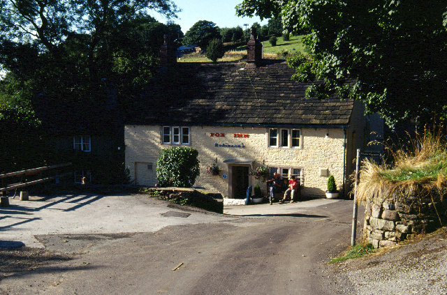
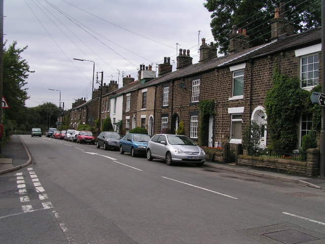
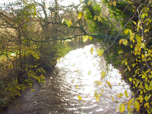
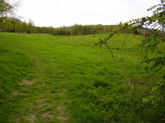
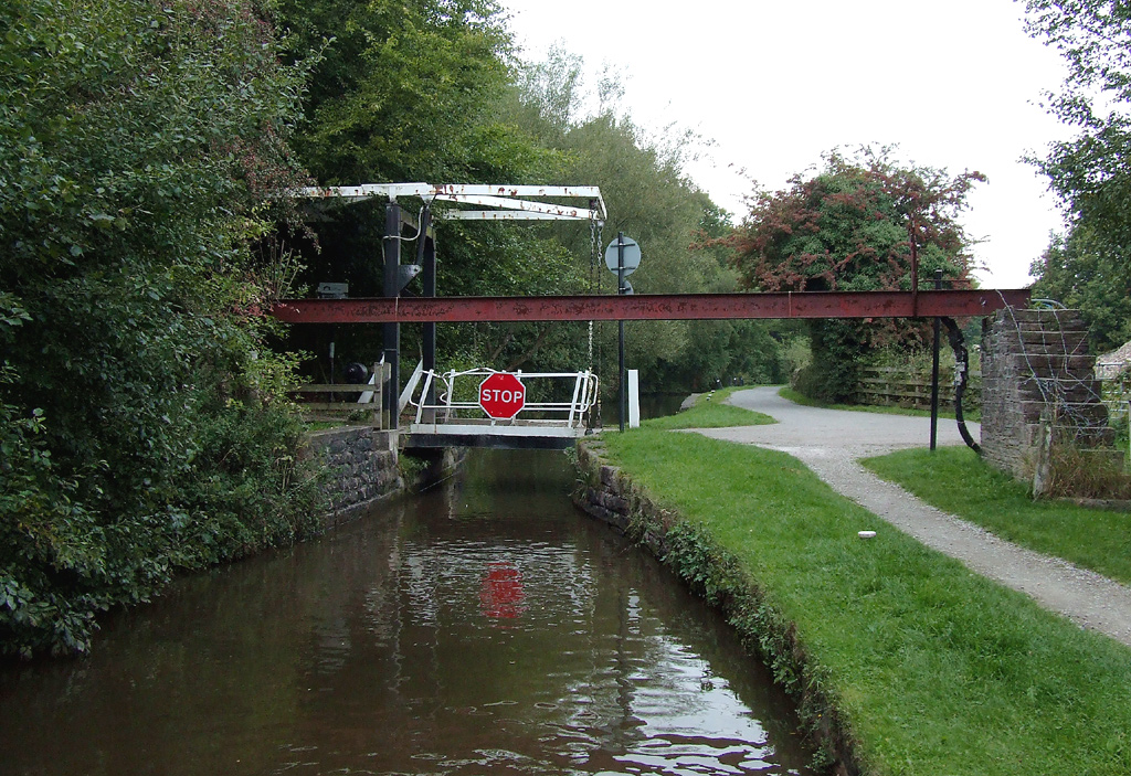
Stanleyhall Wood Images
Images are sourced within 2km of 53.36821/-2.047466 or Grid Reference SJ9685. Thanks to Geograph Open Source API. All images are credited.
Stanleyhall Wood is located at Grid Ref: SJ9685 (Lat: 53.36821, Lng: -2.047466)
Unitary Authority: Cheshire East
Police Authority: Cheshire
What 3 Words
///acrobats.pastels.imparting. Near Disley, Cheshire
Nearby Locations
Related Wikis
Turf Lea
Turf Lea is a hamlet located at the end of The Ridge, above Marple, in the Metropolitan Borough of Stockport, Greater Manchester, UK. Nearby is Wybersley...

Strines
Strines is a village in Greater Manchester, in the valley of the River Goyt. It is located midway between Marple and New Mills, about six miles south-east...

Wyberslegh Hall
Wyberslegh Hall (sometimes spelled Wybersley Hall) is a large house dating from the 16th century, on the edge of the village of High Lane in Greater Manchester...
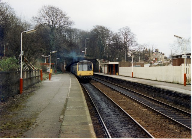
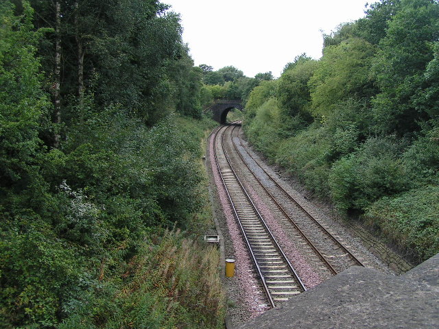
Disley railway station
Disley railway station serves the village of Disley in Cheshire, England. It is 12+1⁄3 miles (19.8 km) south east of Manchester Piccadilly on the Buxton...
Nearby Amenities
Located within 500m of 53.36821,-2.047466Have you been to Stanleyhall Wood?
Leave your review of Stanleyhall Wood below (or comments, questions and feedback).