Caverton Plantation

Wood, Forest in Northumberland

England

Caverton Plantation

Hallington Reservoir (east) Water being transferred from one reservoir to the other.
Fisherman on the shore.
Hallington Reservoir (east) Credit: Les Hull

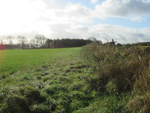
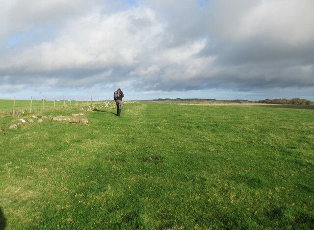
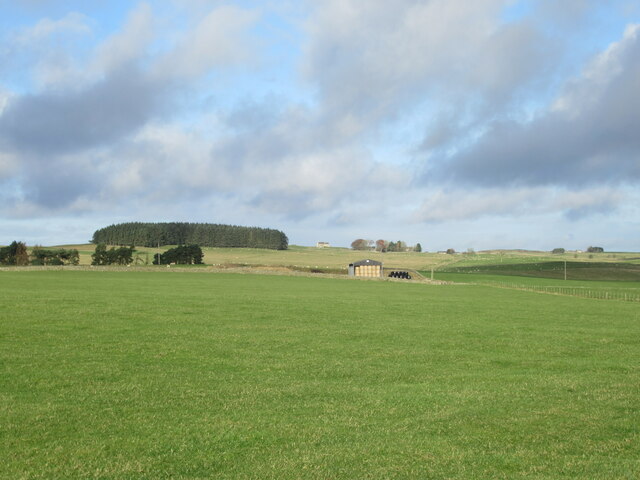
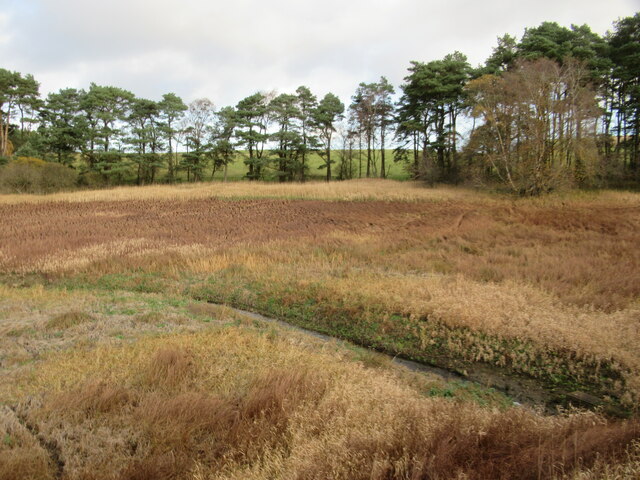
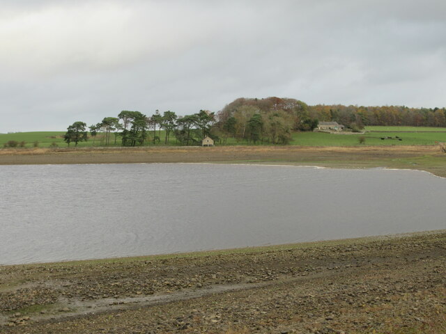
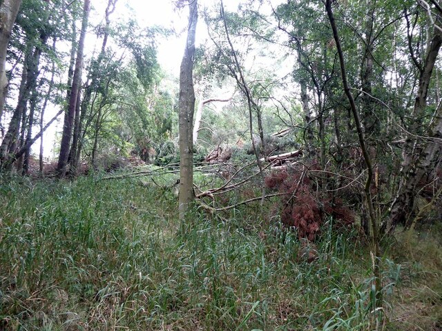
Caverton Plantation is a picturesque woodland area located in Northumberland, England. The plantation covers a vast expanse of land, encompassing a variety of different tree species including oak, beech, and pine. The forest is known for its rich biodiversity, with a wide range of flora and fauna calling it home.

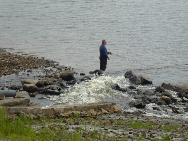
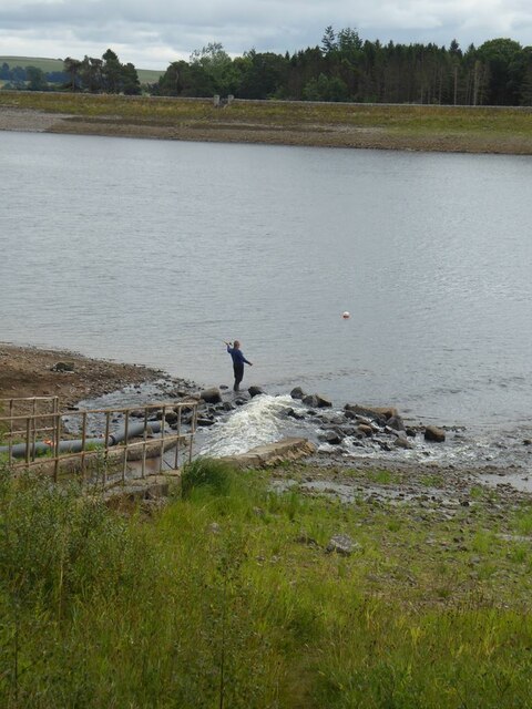
Visitors to Caverton Plantation can enjoy leisurely walks along the well-maintained trails that wind through the forest, providing opportunities to spot native wildlife such as deer, squirrels, and various bird species. The tranquil atmosphere of the plantation makes it a popular destination for nature lovers and those seeking a peaceful retreat from the hustle and bustle of everyday life.

In addition to its natural beauty, Caverton Plantation also plays an important role in conservation efforts, with ongoing initiatives to protect and preserve the native plant and animal species that inhabit the area. The plantation is managed sustainably, with a focus on maintaining the delicate balance of the ecosystem while also providing educational opportunities for visitors to learn about the importance of conservation and environmental stewardship.

If you have any feedback on the listing, please let us know in the comments section below.

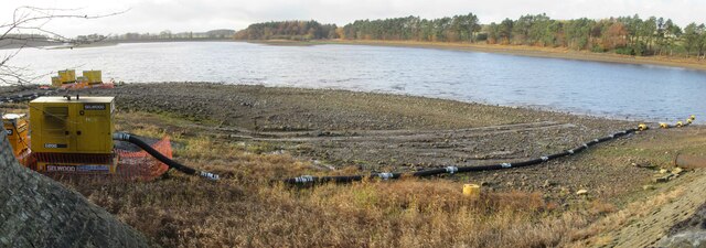
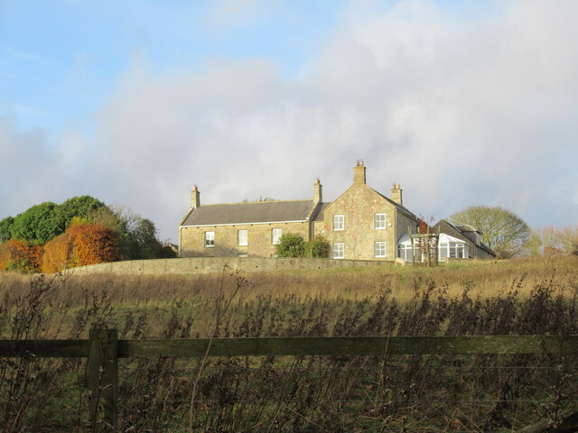
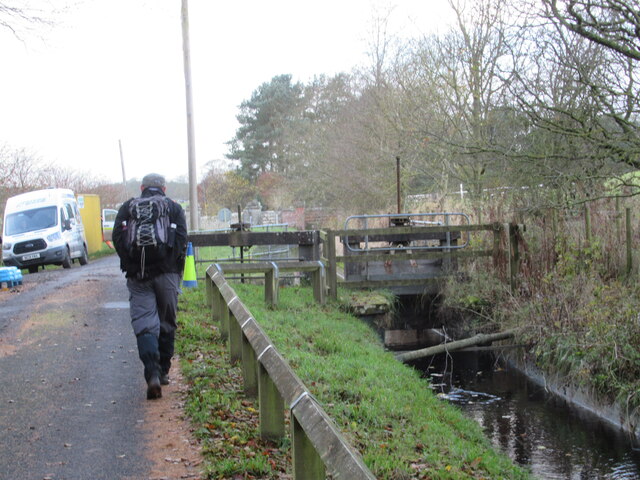
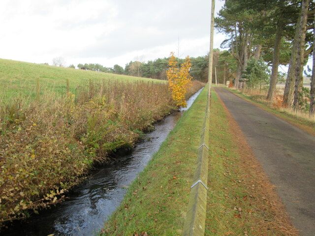
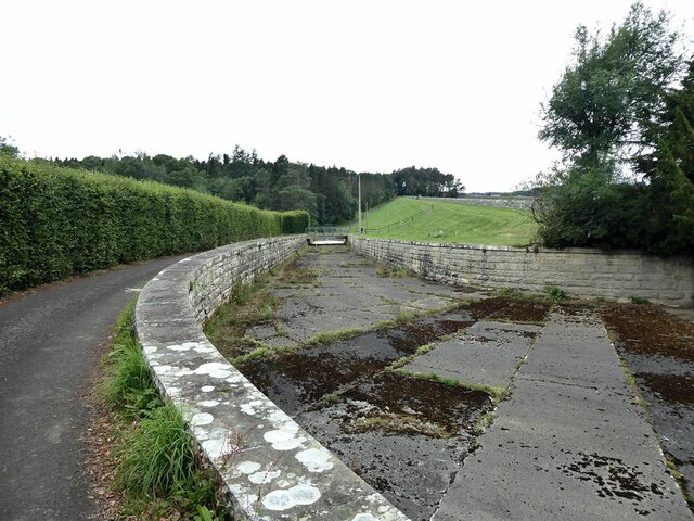
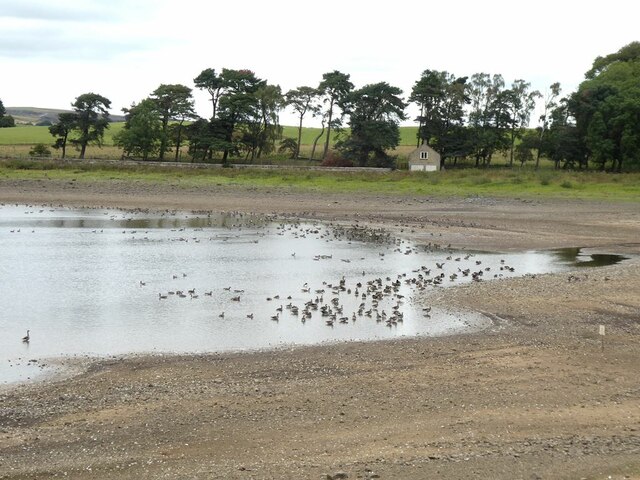
Caverton Plantation Images

Images are sourced within 2km of 55.095129/-2.049501 or Grid Reference NY9677. Thanks to Geograph Open Source API. All images are credited.

Hallington Reservoir (east) Water being transferred from one reservoir to the other.
Fisherman on the shore.
Hallington Reservoir (east)
Water being transferred from one reservoir to the other. Fisherman on the shore.
Hallington Reservoir (west) Water being extracted and transferred to Hallington Reservoir Eat
Hallington Reservoir (west)
Water being extracted and transferred to Hallington Reservoir Eat
Fawcett Farm
Fawcett Farm
Water Channel Probably transferring water from Colt Crag Reservoir to the reservoirs at Hallington.
Water Channel
Probably transferring water from Colt Crag Reservoir to the reservoirs at Hallington.
Sluice Gates at Hallington Reservoirs
Water Channel Probably transferring water from Colt Crag Reservoir to the reservoirs at Hallington.
Water Channel
Probably transferring water from Colt Crag Reservoir to the reservoirs at Hallington.
Bridleway to Fell House and Main Road
Bridleway and Old Field Boundary
View towards Thockrington Church
Hallington Reservoir East Barely a trickle and the lowest we've seen this end of the reservoir.
Hallington Reservoir East
Barely a trickle and the lowest we've seen this end of the reservoir.
Hallington Reservoir East, Boathouse Boathouse well above the water level and has been for at least twenty years.
Cheviot Farm in the shade of the trees.
Hallington Reservoir East, Boathouse
Boathouse well above the water level and has been for at least twenty years. Cheviot Farm in the shade of the trees.
Angler on Hallington West Reservoir
Angling boats on Hallington West Reservoir The white streak on the far side is the input of water from the River North Tyne seen in <a href="https://www.geograph.org.uk/photo/7269845">NY9675 : Hallington Reservoir West</a>.
Angling boats on Hallington West Reservoir
The white streak on the far side is the input of water from the River North Tyne seen in NY9675 : Hallington Reservoir West.
Angler on Hallington East Reservoir Beside the outlet from the leat conveying water from the Colt Crag Reservoir.
Angler on Hallington East Reservoir
Beside the outlet from the leat conveying water from the Colt Crag Reservoir.
Angler on Hallington East Reservoir Beside the outlet from the leat conveying water from the Colt Crag Reservoir.
Angler on Hallington East Reservoir
Beside the outlet from the leat conveying water from the Colt Crag Reservoir.
Storm damage Damage left by Storm Arwen has made the circuit of Hallington East Reservoir (once popular with walkers and dog-owners) very problematical.
Storm damage
Damage left by Storm Arwen has made the circuit of Hallington East Reservoir (once popular with walkers and dog-owners) very problematical.
Spillway on Hallington East Reservoir Judging by the amount of vegetation, it is a while since the reservoir was so full that the spillway came into play.
Spillway on Hallington East Reservoir
Judging by the amount of vegetation, it is a while since the reservoir was so full that the spillway came into play.
Geese on Hallington East Reservoir A mixture of Canada and Greylag Geese. The water level is very low leaving the old boathouse on the far bank high and dry.
Geese on Hallington East Reservoir
A mixture of Canada and Greylag Geese. The water level is very low leaving the old boathouse on the far bank high and dry.
Show me another place!

Caverton Plantation is located at Grid Ref: NY9677 (Lat: 55.095129, Lng: -2.049501)

Unitary Authority: Northumberland

Police Authority: Northumbria

What 3 Words

///pupils.assure.earphones. Near Birtley, Northumberland

Nearby Locations

Caverton Plantation

Related Wikis

Hallington Reservoirs

Hallington Reservoirs are located near the small village of Colwell, Northumberland, England on the B6342 road off the A68 road, and 7 miles (11 km) north...

Thockrington

Thockrington is a village and former civil parish, now in the parish of Bavington, in Northumberland, England. The village lies about 10 miles (16 km)...

Bavington Hall

Bavington Hall is a 17th-century privately owned country house at Little Bavington in Northumberland. It is a Grade II* listed building.A tower house...

Little Swinburne Reservoir

Little Swinburne Reservoir is a small reservoir in Northumberland, England less than 1 mile (1.6 km) northeast of the A68 road, and about 9 miles (14 km...

Nearby Amenities

Located within 500m of 55.095129,-2.049501
Power: pole
Lat/Long: 55.099075/-2.0484647
Power: pole
Lat/Long: 55.0986407/-2.0496985
Power: pole
Lat/Long: 55.0982079/-2.0507875
Power: pole
Lat/Long: 55.0978166/-2.0518389
Power: pole
Lat/Long: 55.0973593/-2.0530701
Power: pole
Lat/Long: 55.0969341/-2.0541966
Power: pole
Lat/Long: 55.0965136/-2.0553231
Power: pole
Lat/Long: 55.0960501/-2.0565757
The data included in this document is from www.openstreetmap.org. The data is made available under ODbL.

Have you been to Caverton Plantation?

Leave your review of Caverton Plantation below (or comments, questions and feedback).