Tilesheds Woods

Wood, Forest in Northumberland

England

Tilesheds Woods

Down  into  the  valley  toward  Akeld  Bridge  on  A697 Sand and gravel pits behind trees on the left
Down into the valley toward Akeld Bridge on A697 Credit: Martin Dawes

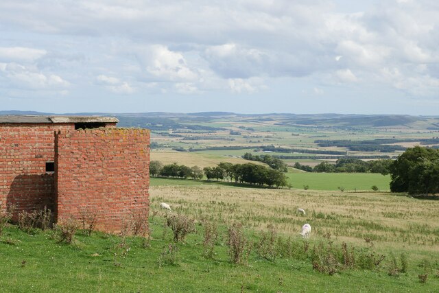
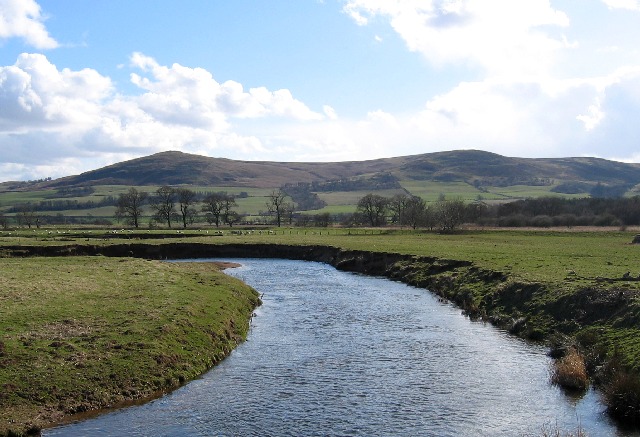
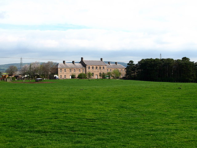
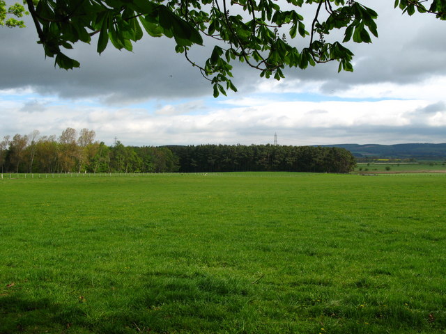
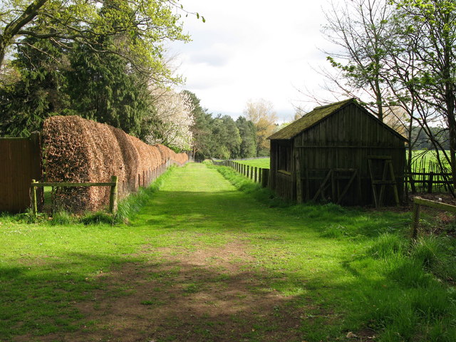
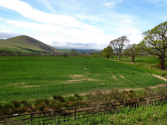
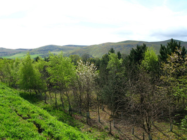
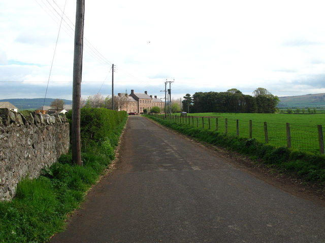
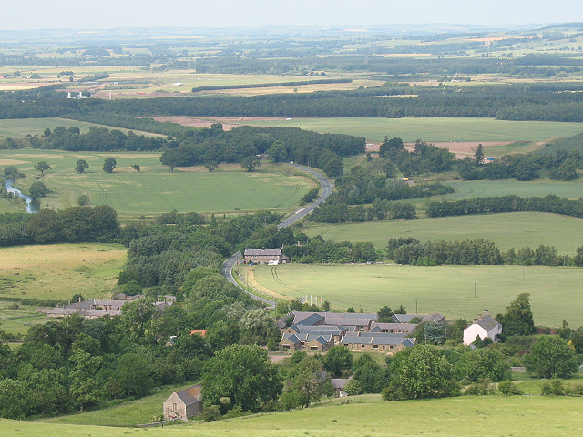
Tilesheds Woods is a picturesque woodland located in Northumberland, England. Covering an area of approximately 50 acres, it is situated near the small village of Alwinton, nestled within the remote and tranquil Coquet Valley. The woods are part of the wider Northumberland National Park, renowned for its stunning natural landscapes and rich biodiversity.

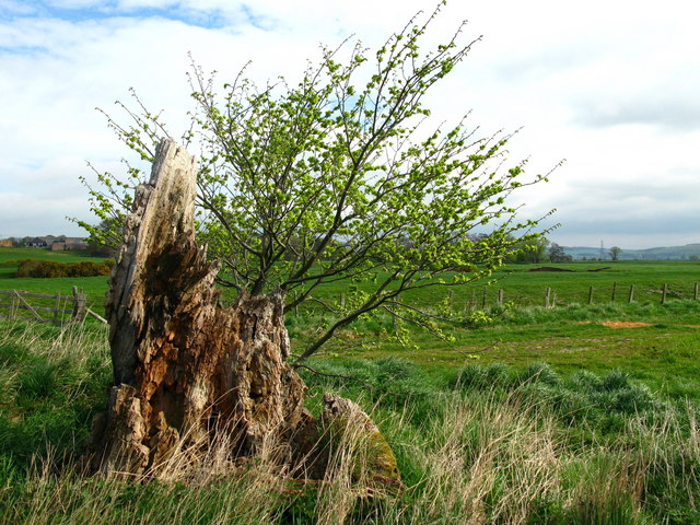
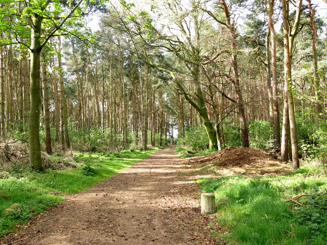
The woodland consists predominantly of native broadleaf trees, such as oak, ash, birch, and rowan, which create a dense canopy overhead. These trees provide a habitat for a diverse range of wildlife, including woodland birds such as woodpeckers, owls, and warblers, as well as small mammals like squirrels and hares.

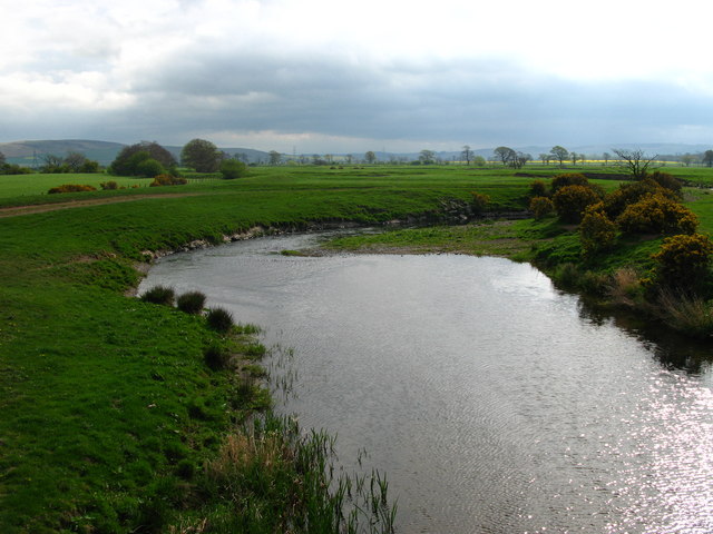
A network of well-maintained paths and trails winds its way through the woods, offering visitors the opportunity to explore and immerse themselves in the beauty of the natural surroundings. These paths meander alongside a babbling brook that runs through the woods, adding to the serene and peaceful atmosphere.

Tilesheds Woods is particularly renowned for its vibrant display of bluebells in the spring, carpeting the forest floor with a sea of indigo blooms. This annual spectacle attracts visitors from far and wide, who come to witness the breathtaking beauty and take part in nature walks and photography opportunities.

The woods also provide a popular destination for outdoor enthusiasts, with opportunities for hiking, cycling, and picnicking. The surrounding landscape boasts breathtaking views of the nearby Cheviot Hills and the Northumberland countryside, adding to the appeal of the area.

Overall, Tilesheds Woods offers a tranquil retreat for nature lovers, providing a sanctuary to explore, relax, and appreciate the natural wonders of Northumberland.

If you have any feedback on the listing, please let us know in the comments section below.

Tilesheds Woods Images

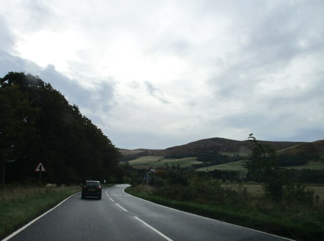
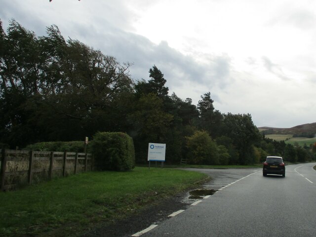
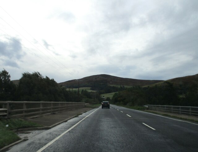
Images are sourced within 2km of 55.573559/-2.0553219 or Grid Reference NT9631. Thanks to Geograph Open Source API. All images are credited.

Down  into  the  valley  toward  Akeld  Bridge  on  A697 Sand and gravel pits behind trees on the left
Down into the valley toward Akeld Bridge on A697
Sand and gravel pits behind trees on the left
Minor  road  junction  to  Cheviot  Quarry  access road Cheviot Quarry, part of Tarmac, is a sand and gravel quarry
Minor road junction to Cheviot Quarry access road
Cheviot Quarry, part of Tarmac, is a sand and gravel quarry
Akeld  Bridge  over  the  River  Glen.  A697  southbound The River Glen runs into the River Till a couple of miles downstream from here
Akeld Bridge over the River Glen. A697 southbound
The River Glen runs into the River Till a couple of miles downstream from here
A view to the Till floodplain from Coldside Hill A view towards the former RAF Milfield (now partially occupied by Borders Gliding Club) from beside one of the buildings at the former Coldside Hill Radio Station.
A view to the Till floodplain from Coldside Hill
A view towards the former RAF Milfield (now partially occupied by Borders Gliding Club) from beside one of the buildings at the former Coldside Hill Radio Station.
On the Till/Glen floodplain near Bridge End An early December mid-afternoon on the floodplain of the River Till and River Glen approaching the end of a prolonged cold snap.
On the Till/Glen floodplain near Bridge End
An early December mid-afternoon on the floodplain of the River Till and River Glen approaching the end of a prolonged cold snap.
River Glen Looking south over the Millfield Plains towards the Cheviot foothills.
River Glen
Looking south over the Millfield Plains towards the Cheviot foothills.
Tree stump, Akeld Steads Rough grazing near Akeld Steads
Tree stump, Akeld Steads
Rough grazing near Akeld Steads
River Glen, Akeld Steads
Ewart Park Brick built building with chimney, located on the outskirts of Ewart Park. Located nearby are brick kilns, built in the late 18th or early 19th century. The clay at Ewart was regarded as the best in Northumberland and the bricks from these kilns were used to build Ewart Bridge and the cottages and houses on the estate.
Ewart Park
Brick built building with chimney, located on the outskirts of Ewart Park. Located nearby are brick kilns, built in the late 18th or early 19th century. The clay at Ewart was regarded as the best in Northumberland and the bricks from these kilns were used to build Ewart Bridge and the cottages and houses on the estate.
Ewart Newtown The building was originally built in the 1870s as a hotel for a planned railway. However, the railway was never built and the building has since been used as an outdoor centre and as farm buildings.
Ewart Newtown
The building was originally built in the 1870s as a hotel for a planned railway. However, the railway was never built and the building has since been used as an outdoor centre and as farm buildings.
Ewart Newtown Ewart Newtown was originally built in the 1870s as a hotel for a planned railway. However, the railway was never built and the building has since been used as an outdoor centre and as farm buildings.
Ewart Newtown
Ewart Newtown was originally built in the 1870s as a hotel for a planned railway. However, the railway was never built and the building has since been used as an outdoor centre and as farm buildings.
Pond Plantation, Thirlings Cropmarks of six rectangular buildings were discovered by aerial photography at Thirlings. Excavations between 1973 and 1981 found they were built of timber and were similar to others found in the area that dated to the sixth or seventh centuries. Finds including an Anglo-Saxon knife and pottery suggest that this was a small Anglo-Saxon settlement although Neolithic pottery was also found.
Pond Plantation, Thirlings
Cropmarks of six rectangular buildings were discovered by aerial photography at Thirlings. Excavations between 1973 and 1981 found they were built of timber and were similar to others found in the area that dated to the sixth or seventh centuries. Finds including an Anglo-Saxon knife and pottery suggest that this was a small Anglo-Saxon settlement although Neolithic pottery was also found.
House Plantation, Thirlings
Grass path to Thirlings Cropmarks of six rectangular buildings were discovered by aerial photography at Thirlings. Excavations between 1973 and 1981 found they were built of timber and were similar to others found in the area that dated to the sixth or seventh centuries. Finds including an Anglo-Saxon knife and pottery suggest that this was a small Anglo-Saxon settlement although Neolithic pottery was also found.
Grass path to Thirlings
Cropmarks of six rectangular buildings were discovered by aerial photography at Thirlings. Excavations between 1973 and 1981 found they were built of timber and were similar to others found in the area that dated to the sixth or seventh centuries. Finds including an Anglo-Saxon knife and pottery suggest that this was a small Anglo-Saxon settlement although Neolithic pottery was also found.
Akeld Newly planted crop with view to Akeld Hill behind.
Akeld
Newly planted crop with view to Akeld Hill behind.
Embankment to east of A697, near Akeld Newly planted trees on roadside embankment on the edge of the A697 to Wooler. The embankment appeared to be newly formed. See also <a href="https://www.geograph.org.uk/photo/411301">NT9531 : Cleared area, near to Akeld</a>.
Embankment to east of A697, near Akeld
Newly planted trees on roadside embankment on the edge of the A697 to Wooler. The embankment appeared to be newly formed. See also NT9531 : Cleared area, near to Akeld.
Ewart Newtown The building was originally built in the 1870s as a hotel for a planned railway. However, the railway was never built and the building has since been used as an outdoor centre and as farm buildings.
Ewart Newtown
The building was originally built in the 1870s as a hotel for a planned railway. However, the railway was never built and the building has since been used as an outdoor centre and as farm buildings.
Akeld Sheep grazing away in field next to A697 to Wooler.
Akeld
Sheep grazing away in field next to A697 to Wooler.
Show me another place!

Tilesheds Woods is located at Grid Ref: NT9631 (Lat: 55.573559, Lng: -2.0553219)

Unitary Authority: Northumberland

Police Authority: Northumbria

What 3 Words

///expectant.wolves.snatched. Near Doddington, Northumberland

Related Wikis

Akeld railway station

Akeld was a stone built railway station serving the hamlet of Akeld in Northumberland, England. It was on the Alnwick to Cornhill Branch which ran from...

Battle of Homildon Hill

The Battle of Holmedon Hill or Battle of Homildon Hill was a conflict between English and Scottish armies on 14 September 1402 in Northumberland, England...

River Glen, Northumberland

The River Glen is a seven mile long tributary of the River Till flowing through Northumberland, England. The College Burn and Bowmont Water, both flowing...

Akeld

Akeld is a village and civil parish in Northumberland, England. It is situated around 2.7 miles (4.3 km) to the west of Wooler and 9.3 miles (15.0 km)...

Nearby Amenities

Located within 500m of 55.573559,-2.0553219
Ewart Park
Place: locality
Lat/Long: 55.5776509/-2.0584096
Bridge End
Place: locality
Lat/Long: 55.5761518/-2.0489993
East Wood
Place: locality
Lat/Long: 55.572397/-2.0525295
The data included in this document is from www.openstreetmap.org. The data is made available under ODbL.

Have you been to Tilesheds Woods?

Leave your review of Tilesheds Woods below (or comments, questions and feedback).