Knightslow Wood
Wood, Forest in Cheshire
England
Knightslow Wood
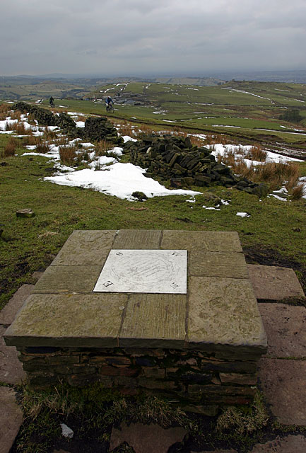
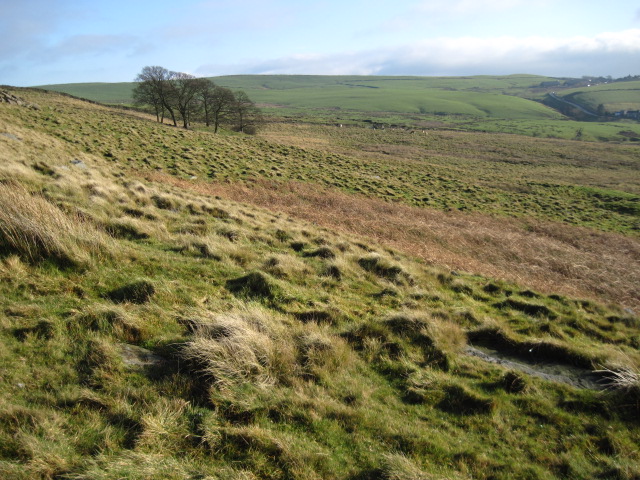
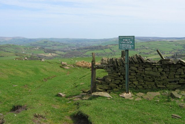
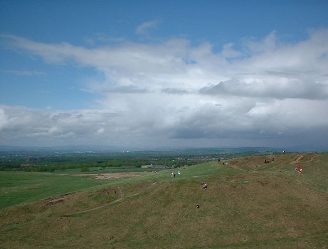
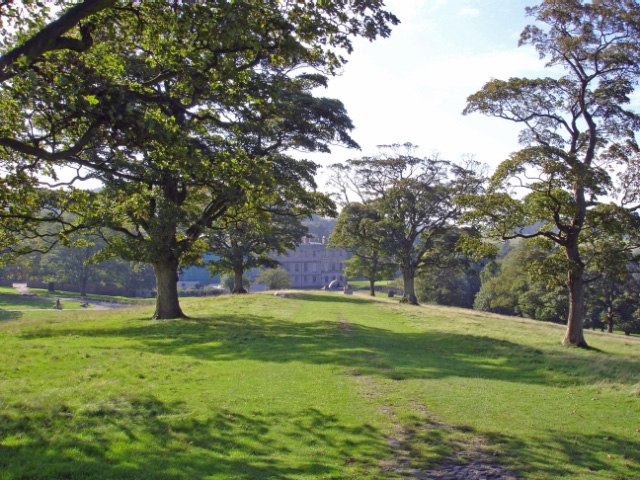
Knightslow Wood is a picturesque woodland located in Cheshire, England. Covering an area of approximately 50 hectares, the wood is a popular destination for nature enthusiasts and hikers looking to explore the natural beauty of the Cheshire countryside.
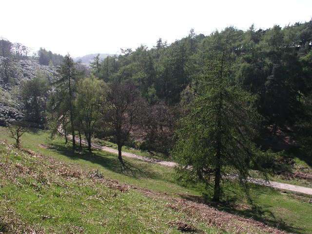
The woodland is predominantly made up of broadleaf trees such as oak, birch, and beech, creating a lush and diverse habitat for a variety of wildlife. Visitors to Knightslow Wood can expect to encounter a range of bird species, small mammals, and insects as they wander through the peaceful forest.
Trails wind their way through the wood, providing opportunities for leisurely walks and peaceful contemplation. The wood is well-maintained, with clear pathways and signage to guide visitors through the different areas of the forest.
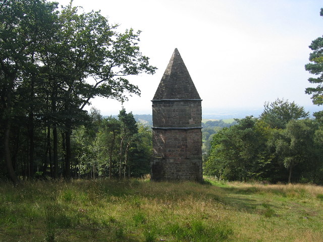
In addition to its natural beauty, Knightslow Wood also has historical significance, with evidence of ancient settlements and agricultural activity dating back hundreds of years. This adds an extra layer of interest for those interested in the history of the area.
Overall, Knightslow Wood is a tranquil and captivating destination for anyone seeking a peaceful escape into nature in the heart of Cheshire.
If you have any feedback on the listing, please let us know in the comments section below.
Knightslow Wood Images
Images are sourced within 2km of 53.331633/-2.0547228 or Grid Reference SJ9681. Thanks to Geograph Open Source API. All images are credited.

Knightslow Wood is located at Grid Ref: SJ9681 (Lat: 53.331633, Lng: -2.0547228)
Unitary Authority: Cheshire East
Police Authority: Cheshire
What 3 Words
///slim.screeches.celebrate. Near Pott Shrigley, Cheshire
Nearby Locations
Related Wikis

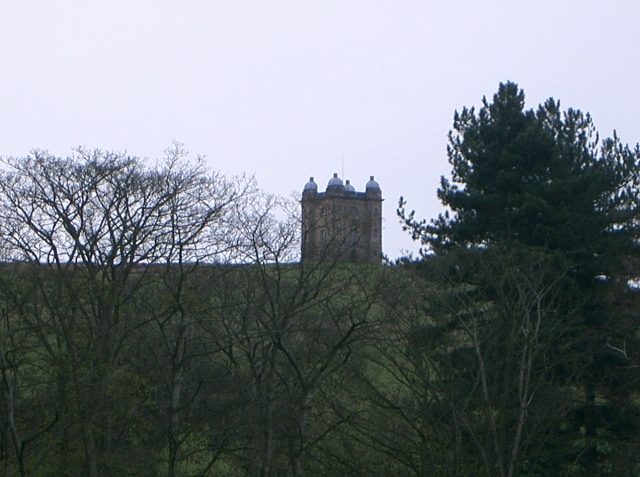
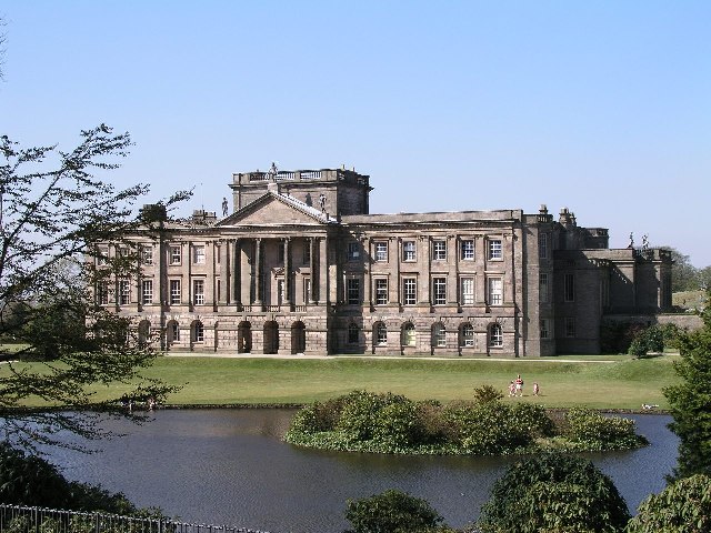
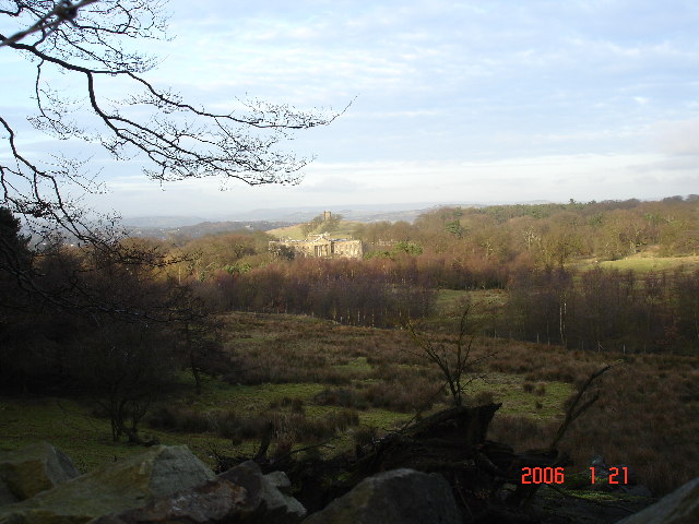
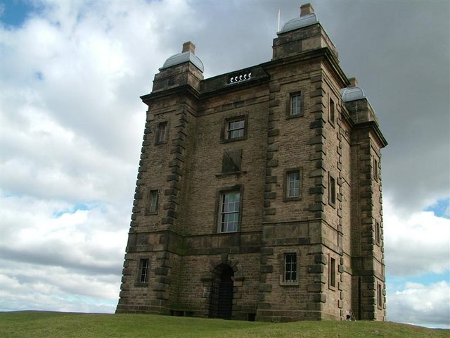
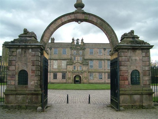
Lyme Park
Lyme Park is a large estate south of Disley, Cheshire, England, managed by the National Trust and consisting of a mansion house surrounded by formal gardens...

Lyme Handley
Lyme Handley, sometimes known as Lyme, is a former civil parish, now in the parish of Kettleshulme and Lyme Handley, in between Disley and Stockport, in...

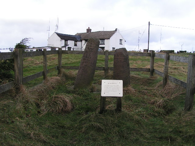
Bowstones
The Bowstones are a pair of Anglian cross shafts in Cheshire, England. Situated beside the old ridgeway between Disley and Macclesfield, overlooking Lyme...

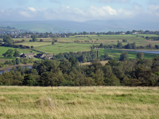
Bollinhurst Reservoir
The Bollinhurst Reservoir was constructed in Lyme Park in 1872 for the Stockport District Waterworks Company. At the time of the First World War, it had...
Nearby Amenities
Located within 500m of 53.331633,-2.0547228Have you been to Knightslow Wood?
Leave your review of Knightslow Wood below (or comments, questions and feedback).