Bank Top Woods
Wood, Forest in Northumberland
England
Bank Top Woods
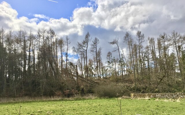
Bank Top Woods is a beautiful woodland area located in Northumberland, England. Spanning over a vast area, this forest is a popular destination for nature lovers and outdoor enthusiasts. The woods are situated on a gentle slope, hence the name "Bank Top," and offer a serene and peaceful atmosphere for visitors to enjoy.
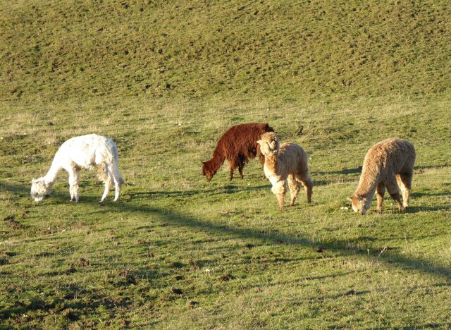
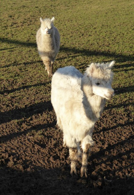
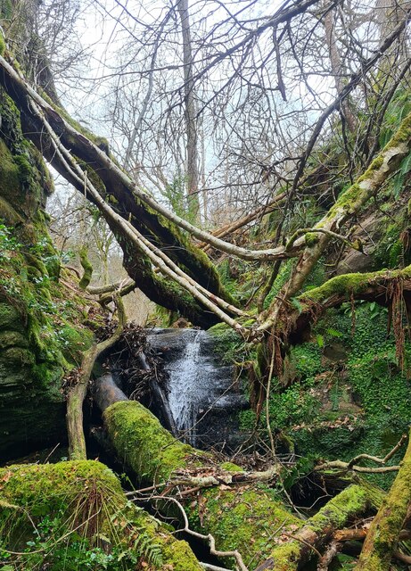
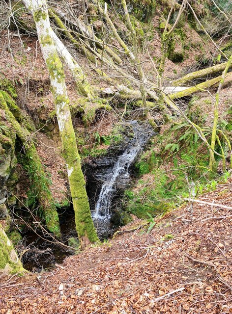
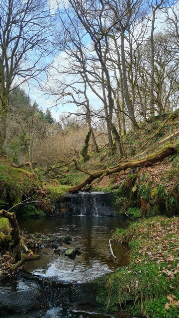
The woods are predominantly made up of native deciduous trees, including oak, beech, and birch, which create a stunning display of colors during the autumn months. The forest floor is carpeted with a variety of wildflowers, adding to the visual appeal of the area. The diverse vegetation provides a habitat for a wide range of wildlife, including birds, squirrels, and deer, making it a paradise for wildlife enthusiasts and photographers.
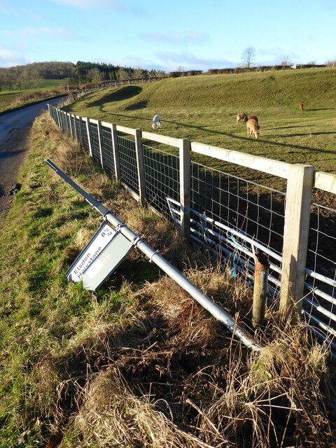
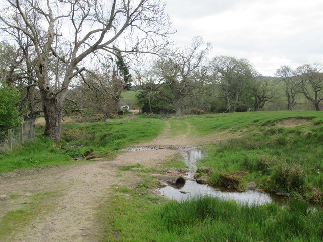
Bank Top Woods is crisscrossed by a network of well-maintained walking trails, allowing visitors to explore the area at their leisure. The trails vary in length and difficulty, catering to both casual strollers and more experienced hikers. Along the paths, you'll find informative signposts detailing the flora and fauna found in the woods, enhancing the educational aspect of the visit.
For those seeking a peaceful retreat, Bank Top Woods offers numerous secluded spots, perfect for picnics or simply enjoying the tranquility of nature. The woods also feature a small visitor center, where visitors can learn more about the history and ecology of the area.
Overall, Bank Top Woods in Northumberland is a picturesque woodland retreat that offers a memorable experience for nature enthusiasts, hikers, and anyone seeking a peaceful and rejuvenating escape in the heart of nature.
If you have any feedback on the listing, please let us know in the comments section below.
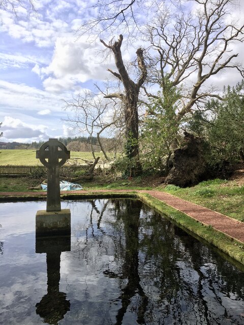
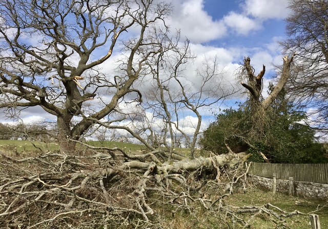
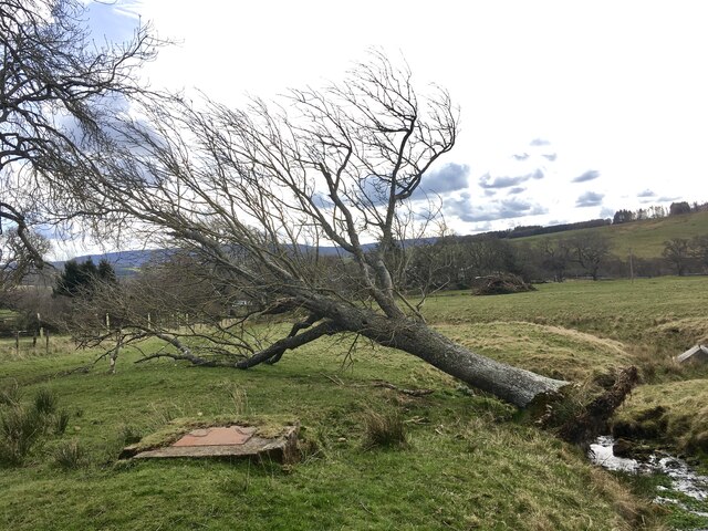
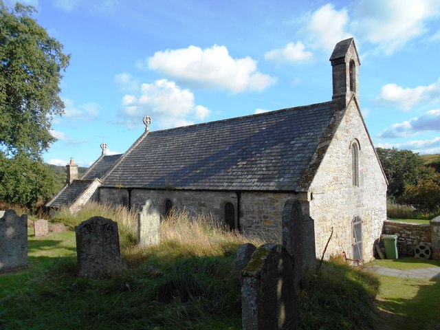
Bank Top Woods Images
Images are sourced within 2km of 55.321451/-2.0610514 or Grid Reference NT9603. Thanks to Geograph Open Source API. All images are credited.

Bank Top Woods is located at Grid Ref: NT9603 (Lat: 55.321451, Lng: -2.0610514)
Unitary Authority: Northumberland
Police Authority: Northumbria
What 3 Words
///steams.streetcar.hazel. Near Rothbury, Northumberland
Nearby Locations
Related Wikis

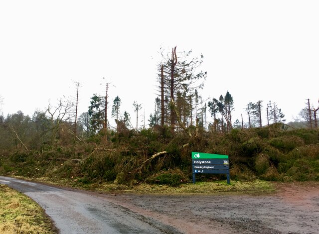
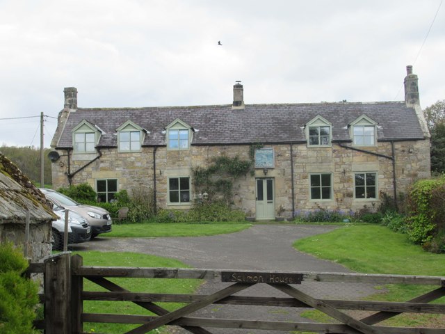
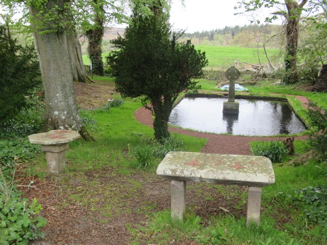
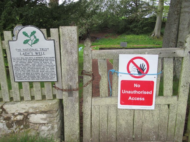
Holystone, Northumberland
Holystone is a small village and former civil parish, now in the parish of Harbottle, in Northumberland, England. It lies on the edge of (and just within...

Sharperton
Sharperton is a small settlement and former civil parish, now in the parish of Harbottle, in Northumberland, England. Sharperton is the site of a deserted...

Harbottle
Harbottle is a village and civil parish in Northumberland, England about 10 miles (16 km) south-east of the Scottish border, in the southeastern part of...

Hepple
Hepple is a small village and parish in rural Northumberland, 4 miles (6.4 km) west of Rothbury, which provides most of its local services. It is on the...

Harbottle Castle
Harbottle Castle is a ruined medieval castle situated at the west end of the village of Harbottle, Northumberland, England, 9 miles (14 km) west-north...

Burradon, Northumberland
Burradon is a village and former civil parish, now in the parish of Netherton, in Northumberland, England. It is about 14 miles (23 km) to the south-west...

Reivers Way
The Reivers Way is a long-distance footpath in Northumberland, passing through the Northumberland National Park and the Cheviot Hills. Totalling 242 kilometres...

River Alwin
The River Alwin is a short, steep upland river that drains the Kidland Forest on the southern flanks of the Cheviot Hills, in the Northumberland National...
Related Videos

Walking around Harbottle and The Drake Stone
My first 'out, out'... wasn't looking good on the way out: Surrounding villages with signs stating toilets and car parks closed to ...

A Walk in Northumberland - Drake Stone, Harbottle Lake, Harbottle Castle
In this video we take a walk in the Northumberland National Park, just outside of the small village of Harbottle. Our first stop is ...
Holystone, Lady's Well and Dove Crag with Interesting Walks NE (7.8 miles)
Beautiful walk around Holystone with a bait stop at Dove Crag. I was absolutely worn-out after this one - the combination of blown ...

Walking the Beacon Trig Point on Dues Hill (301m)
Winter hike - trips and tumbles around Holystone Common and up to the Beacon trig point on Dues Hill. When you can't ...
Nearby Amenities
Located within 500m of 55.321451,-2.0610514Have you been to Bank Top Woods?
Leave your review of Bank Top Woods below (or comments, questions and feedback).