Brookes Coppice
Wood, Forest in Dorset
England
Brookes Coppice
Brookes Coppice is a picturesque woodland located in the county of Dorset, England. Covering an area of approximately 50 acres, it is a popular destination for nature enthusiasts and outdoor lovers alike.
The woodland is characterized by its dense canopy of mature trees, including oak, beech, and ash. These towering trees create a serene and tranquil atmosphere, providing shade and shelter for a diverse range of flora and fauna. Bluebells and wild garlic carpet the forest floor during spring, creating a stunning display of colors.
Brookes Coppice is home to a variety of wildlife, making it an ideal spot for birdwatching and animal spotting. Visitors may catch a glimpse of woodland birds such as woodpeckers, buzzards, and owls, as well as mammals like deer and foxes.
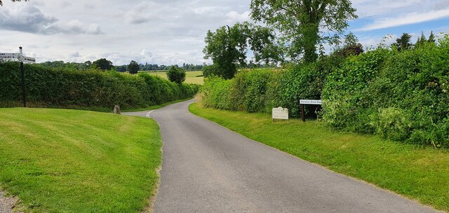
The woodland offers several walking trails, allowing visitors to explore its natural beauty at their own pace. These trails wind through ancient woodlands, revealing hidden streams and peaceful glades along the way. Interpretive signs provide information about the local flora and fauna, enhancing the educational aspect of the visit.
Brookes Coppice is managed by the local council, ensuring the preservation of its natural habitat and the conservation of its wildlife. The woodland is open to the public throughout the year, with no admission fee. It offers a peaceful retreat from the hustle and bustle of everyday life, providing a haven for nature lovers to enjoy the beauty of Dorset's woodlands.
If you have any feedback on the listing, please let us know in the comments section below.
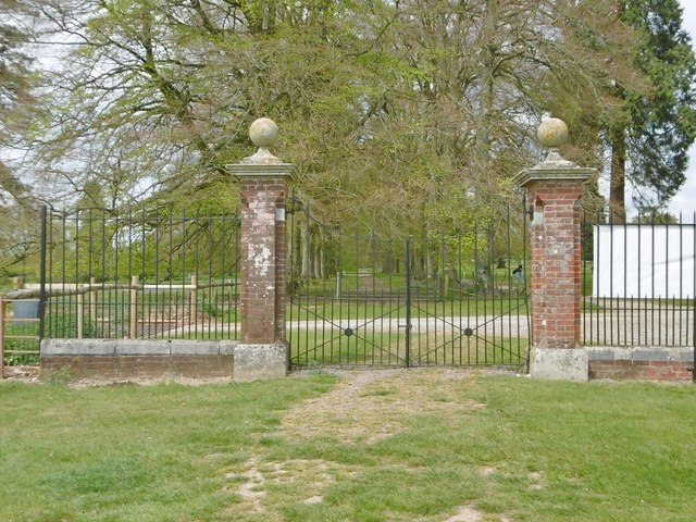
Brookes Coppice Images
Images are sourced within 2km of 50.957973/-2.0607448 or Grid Reference ST9517. Thanks to Geograph Open Source API. All images are credited.


Brookes Coppice is located at Grid Ref: ST9517 (Lat: 50.957973, Lng: -2.0607448)
Unitary Authority: Dorset
Police Authority: Dorset
What 3 Words
///steady.officials.script. Near Bower Chalke, Wiltshire
Related Wikis

South Lodge Camp
South Lodge Camp is an archaeological site of the Bronze Age, about 0.6 miles (1.0 km) south-east of the village of Tollard Royal, in Wiltshire, England...

Woodcutts Settlement
Woodcutts Settlement is an archaeological site of the late Iron Age and Romano-British period on Cranborne Chase, England. It is situated about 1 mile...

Sandroyd School
Sandroyd School is an independent co-educational preparatory school for day and boarding pupils aged 2 to 13 in the south of Wiltshire, England. The school...

Cranborne Chase
Cranborne Chase (grid reference ST970180) is an area of central southern England, straddling the counties Dorset, Hampshire and Wiltshire. It is part of...
Related Videos

Chalk Escape Walking Festival at Larmer Tree Gardens - Cranborne Chase AONB
For more info about upcoming events see: https://cranbornechase.org.uk Cranborne Chase AONB run the ChalkEscape Walking ...

WALKS IN WILTSHIRE at TOLLARD ROYAL & WIN GREEN (CLOSE TO THE WILTSHIRE / DORSET BORDER).
In this episode of my series “ Walks in Wiltshire”, I take a walk in & around the village of Tollard Royal which is located very close ...
Walk and Cook #2 | Iron Age Hill Fort! (Cranborne Chase) | Day hike with lunch | using Firebox Nano
A walk around the Cranborne Chase area of Southern England. Some interesting history along the way, and best of all - cooked ...

Three Hill Hike | Lunch with a view | Ox Drove | Cranborne Chase
A walk at the end of the summer, up 3 hills and along an old droving track in Cranborne Chase. With great views all around and a ...
Nearby Amenities
Located within 500m of 50.957973,-2.0607448Have you been to Brookes Coppice?
Leave your review of Brookes Coppice below (or comments, questions and feedback).