Saldon Wood

Wood, Forest in Worcestershire Wychavon

England

Saldon Wood

Country road near Stock Green This road approaches a t-junction in a small hamlet which is not named on the OS map.
Country road near Stock Green Credit: Philip Halling

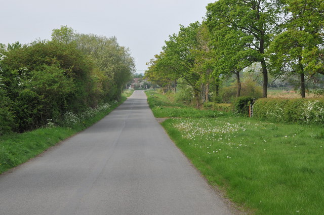
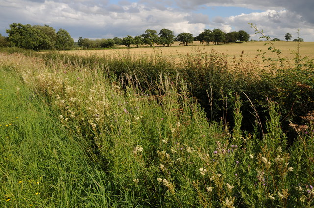
Saldon Wood is a picturesque woodland located in Worcestershire, England. Spanning over 100 acres, this ancient forest is known for its diverse flora and fauna, making it a popular destination for nature lovers and outdoor enthusiasts.

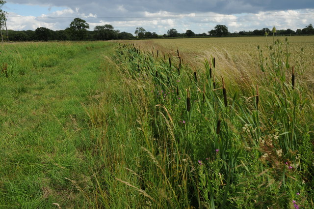
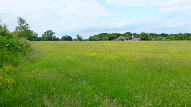
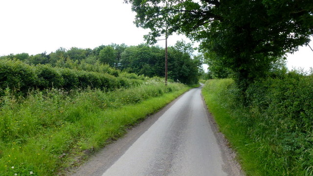
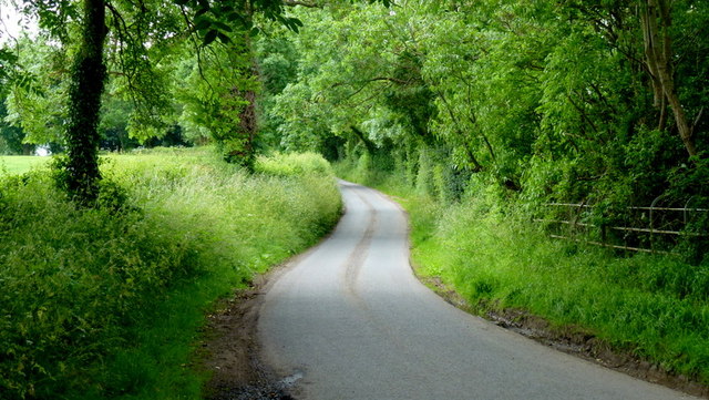
The wood features a dense canopy of trees, predominantly consisting of oak, beech, and birch, which provide a habitat for various woodland creatures such as deer, foxes, and a wide array of bird species. The forest floor is blanketed with a vibrant carpet of bluebells during the spring months, creating a breathtaking sight for visitors.

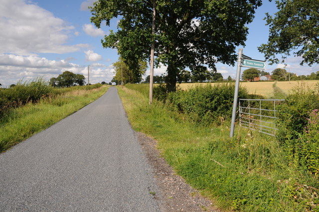
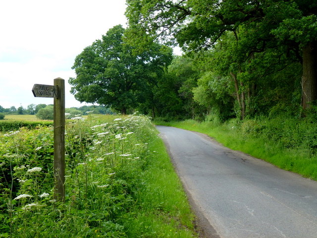
Tranquil walking trails wind their way through the wood, offering visitors the opportunity to explore the area at their own pace. These paths are well-maintained and suitable for all levels of fitness, making it an ideal destination for families and individuals alike. Along the trails, there are several designated picnic spots where visitors can enjoy a peaceful lunch surrounded by the sights and sounds of nature.

Saldon Wood is also home to a small pond, which serves as a watering hole for various wildlife species. This offers a unique opportunity for birdwatching and observing other aquatic creatures in their natural habitat.

The wood is managed by a local conservation organization, ensuring that the natural beauty and biodiversity of Saldon Wood are preserved for future generations. Entry to the wood is free, although donations are encouraged to support the ongoing conservation efforts.

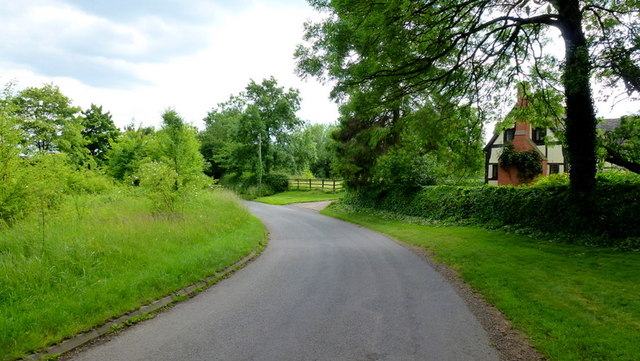
Overall, Saldon Wood is a haven of tranquility, offering visitors the chance to escape the hustle and bustle of everyday life and immerse themselves in the beauty of nature.

If you have any feedback on the listing, please let us know in the comments section below.
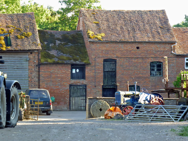
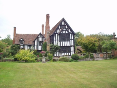
Saldon Wood Images

Images are sourced within 2km of 52.224805/-2.063066 or Grid Reference SO9558. Thanks to Geograph Open Source API. All images are credited.
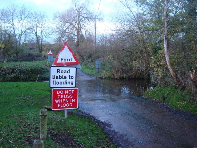
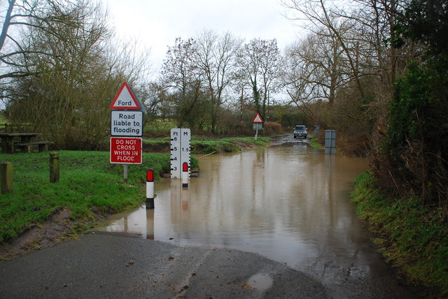
Country road near Stock Green This road approaches a t-junction in a small hamlet which is not named on the OS map.
Country road near Stock Green
This road approaches a t-junction in a small hamlet which is not named on the OS map.
The edge of Stock Green A road junction on the edge of Hollow Court but the signs proclaim this to be Stock Green. The road to the right goes to Grafton Flyford and Himbleton. The road ahead was closed for sewer works.
The edge of Stock Green
A road junction on the edge of Hollow Court but the signs proclaim this to be Stock Green. The road to the right goes to Grafton Flyford and Himbleton. The road ahead was closed for sewer works.
Bulrushes beside the Wychavon Way Bulrushes growing in a drainage channel beside a footpath which is marked on the OS map as the Wychavon Way though I believe it may have since been rerouted.
Bulrushes beside the Wychavon Way
Bulrushes growing in a drainage channel beside a footpath which is marked on the OS map as the Wychavon Way though I believe it may have since been rerouted.
Sheep and Hill Top Farm Sheep in a field with Hill Top Farm in the background.
Sheep and Hill Top Farm
Sheep in a field with Hill Top Farm in the background.
Roadside verge near Shell Summer growth on the road verge between Shell and Earl's Common.
Roadside verge near Shell
Summer growth on the road verge between Shell and Earl's Common.
Huddington church Huddington church is dedicated to St James and it is situated close to Huddington Court, so close in fact that to access it one has to cross the lawn of the court.  The nave of church dates back to the Norman period.
Huddington church
Huddington church is dedicated to St James and it is situated close to Huddington Court, so close in fact that to access it one has to cross the lawn of the court. The nave of church dates back to the Norman period.
Ford at Shell The ford close to the hamlet of Shell
Ford at Shell
The ford close to the hamlet of Shell
Picnic Site at Shell The small [1 table!] picnic site and footbridge at Shell beside the ford
Picnic Site at Shell
The small [1 table!] picnic site and footbridge at Shell beside the ford
Footpath to Hill Top Farm Two footpaths cross farmland to the right one of which leads to Hill Top Farm.
Footpath to Hill Top Farm
Two footpaths cross farmland to the right one of which leads to Hill Top Farm.
Lane to Grafton Flyford The cottage appears to keep an eye on the passing traffic, such as it is.
Lane to Grafton Flyford
The cottage appears to keep an eye on the passing traffic, such as it is.
Lane alongside Rabbit Wood Looking north towards Himbleton.
Lane alongside Rabbit Wood
Looking north towards Himbleton.
Footpath across pasture to Saldons Farm This scene is not surprisingly very similar to <a href="https://www.geograph.org.uk/photo/846703">SO9558 : Saldons Farm, near Himbleton</a> taken 5 years previously.
Footpath across pasture to Saldons Farm
This scene is not surprisingly very similar to SO9558 : Saldons Farm, near Himbleton taken 5 years previously.
Mill Lane, Huddington This minor road had a surprisingly small amount of traffic using it on this June afternoon.
Mill Lane, Huddington
This minor road had a surprisingly small amount of traffic using it on this June afternoon.
Leafy lane Minor road from Grafton to Huddington.
Leafy lane
Minor road from Grafton to Huddington.
Shell Ford This ford on the Shell Brook was two and a half foot deep at the time of my visit as can be seen in the video:
<span class="nowrap"><a title="http://www.youtube.com/watch?v=p7t1kvldoZU" rel="nofollow ugc noopener" href="http://www.youtube.com/watch?v=p7t1kvldoZU">Link</a><img style="margin-left:2px;" alt="External link" title="External link - shift click to open in new window" src="https://s1.geograph.org.uk/img/external.png" width="10" height="10"/></span>
Shell Ford
This ford on the Shell Brook was two and a half foot deep at the time of my visit as can be seen in the video: LinkExternal link
Church - Himbleton Dedicated to St Mary Magdalene with a weather-boarded tower dating to the 15th century (allegedly) One of many pretty churches in Worcestershire.
Church - Himbleton
Dedicated to St Mary Magdalene with a weather-boarded tower dating to the 15th century (allegedly) One of many pretty churches in Worcestershire.
Mill Farm, Huddington There are water courses and this looks like a former water mill. There is a vintage tractor in front and nearby buildings also have vintage tractors outside.
Mill Farm, Huddington
There are water courses and this looks like a former water mill. There is a vintage tractor in front and nearby buildings also have vintage tractors outside.
Show me another place!

Saldon Wood is located at Grid Ref: SO9558 (Lat: 52.224805, Lng: -2.063066)

Administrative County: Worcestershire

District: Wychavon

Police Authority: West Mercia

What 3 Words

///skies.outnumber.hotspots. Near Kington, Worcestershire

Related Wikis

Earls Common

Earls Common is a village in Worcestershire, England. Villages nearby include Himbleton and Stock Green.

Himbleton

Himbleton is a village in Worcestershire, England. It lies about 5 miles (8.0 km) south-east of Droitwich and 7.5 miles (12.1 km) north-east of Worcester...

Grafton Flyford

Grafton Flyford is a village about 6 miles (9.7 km) east of Worcester, in Worcestershire, England. It neighbours Stock Green, with the large farm house...

Huddington

Huddington is a village in Worcestershire, England. == Location == Huddington is located 5 miles (8.0 km) east of Worcester and 5 miles (8.0 km) south...

Huddington Court

Huddington Court is a 15th-century moated manor house in the village of Huddington in Worcestershire, England, some six miles east of Worcester. It was...

Grafton Wood

Grafton Wood is a nature reserve near the village of Grafton Flyford, about 6 miles (9.7 km) east of Worcester, in Worcestershire, England. == Description... ==

Dunhampstead railway station

Dunhampstead railway station served the village of Dunhampstead, Worcestershire, England, from 1841 to 1855 on the Birmingham and Gloucester Railway....

Dormston

Dormston is a village and civil parish in Worcestershire about 3 miles (4.8 km) south of Redditch. == Name == Dormston's toponym has evolved from Deormodesealdtune...

Nearby Amenities

Located within 500m of 52.224805,-2.063066
Barrier: kissing_gate
Foot: yes
Lat/Long: 52.2267532/-2.0574133
Power: pole
Lat/Long: 52.2283539/-2.0665419
Barrier: stile
Foot: yes
Lat/Long: 52.2268148/-2.0574021
Barrier: stile
Foot: yes
Lat/Long: 52.2274849/-2.0588542
Power: pole
Lat/Long: 52.2289732/-2.0653598
Saldon Farm
Power: pole
Transformer: distribution
Voltage Primary: 11000
Lat/Long: 52.2240863/-2.0667265
Power: pole
Lat/Long: 52.2248043/-2.066685
Power: pole
Lat/Long: 52.225542/-2.0666501
Power: pole
Lat/Long: 52.2262822/-2.0666112
Power: pole
Lat/Long: 52.2269738/-2.0665723
Power: pole
Lat/Long: 52.2276721/-2.0665482
The data included in this document is from www.openstreetmap.org. The data is made available under ODbL.

Have you been to Saldon Wood?

Leave your review of Saldon Wood below (or comments, questions and feedback).