Bridmore Belt
Wood, Forest in Wiltshire
England
Bridmore Belt

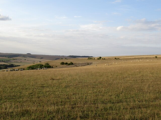
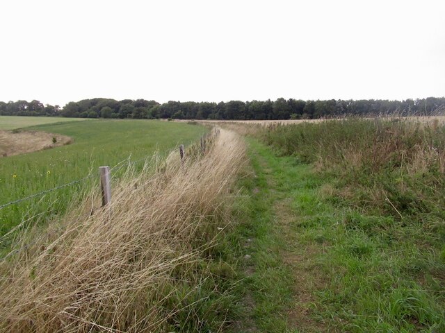
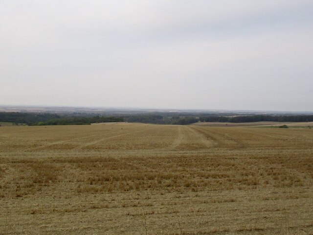
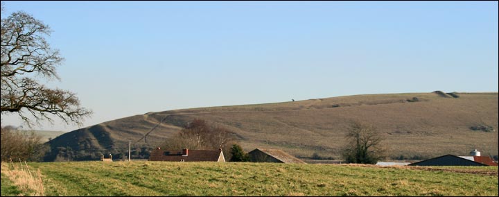
Bridmore Belt is a picturesque woodland area located in Wiltshire, England. Stretching across approximately 200 acres, it is known for its natural beauty and diverse range of flora and fauna. The belt is situated in close proximity to the village of Bridmore, which lends its name to the area.
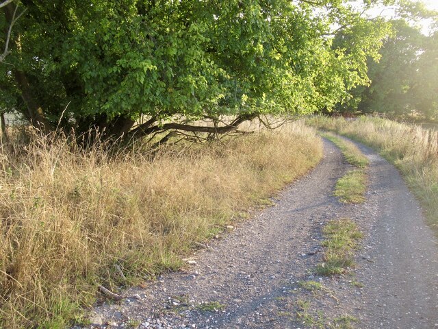
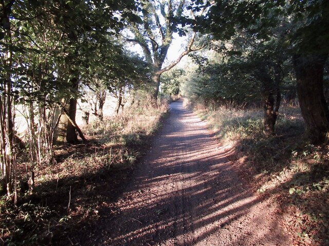
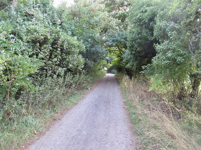
The woodland is characterized by its dense canopy of trees, including oak, beech, and ash, which create a serene and peaceful atmosphere. The forest floor is covered with a lush carpet of ferns, wildflowers, and moss, adding to the area's enchanting appeal.
Bridmore Belt is home to a variety of wildlife, making it a popular destination for nature enthusiasts and birdwatchers. Visitors may spot species such as deer, foxes, badgers, and an array of bird species, including woodpeckers, owls, and various songbirds.
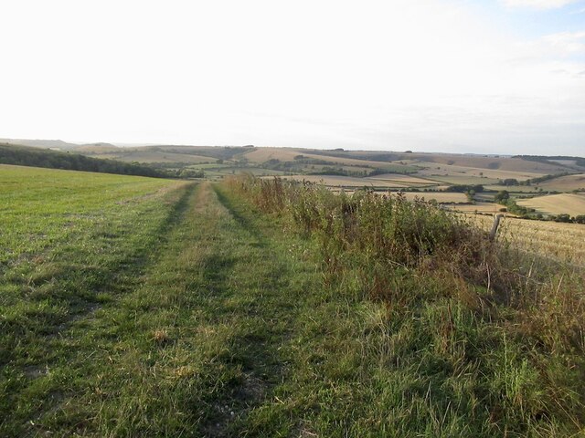
The area provides numerous opportunities for outdoor activities and exploration. There are several walking trails and paths that wind through the woodland, allowing visitors to immerse themselves in the natural surroundings. The forest also offers picnic areas and designated camping spots for those who wish to spend more time in the area.
Bridmore Belt is a protected site, managed by local conservation organizations to preserve its natural heritage. The wood is open to the public throughout the year, providing a tranquil retreat for individuals seeking to connect with nature.
If you have any feedback on the listing, please let us know in the comments section below.
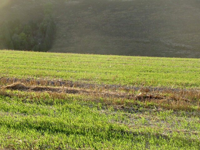
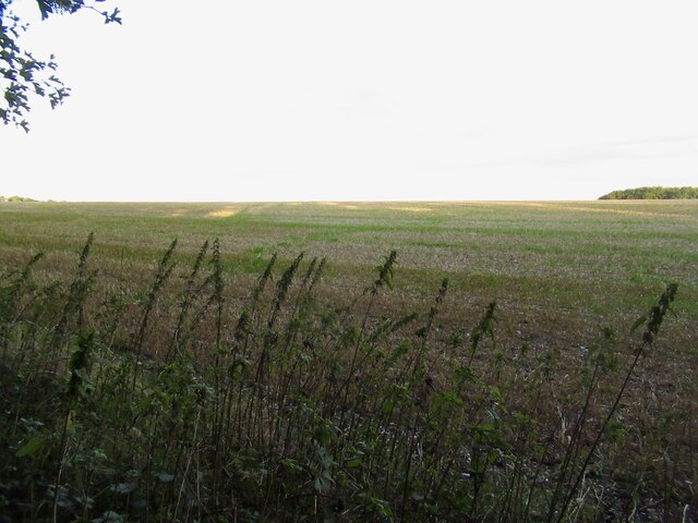
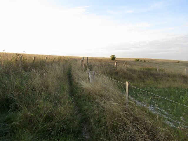
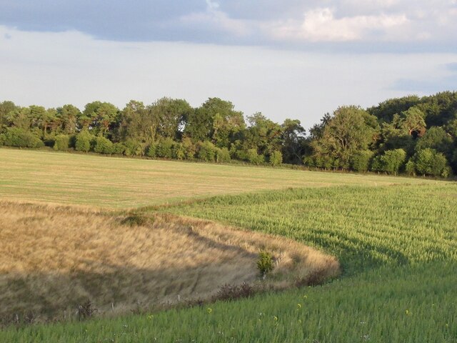
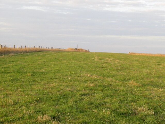
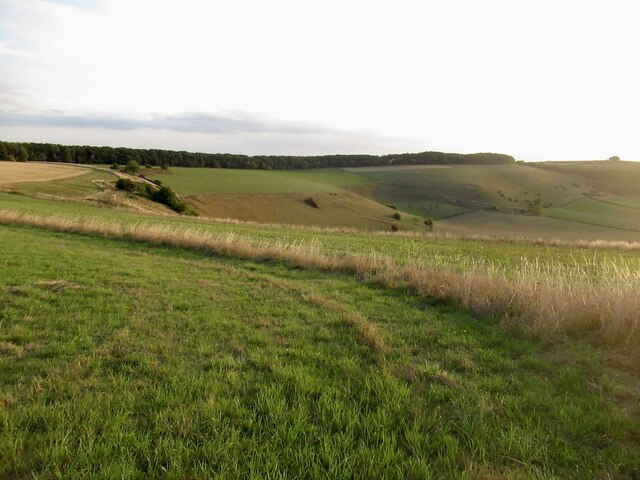
Bridmore Belt Images
Images are sourced within 2km of 50.983565/-2.0613766 or Grid Reference ST9520. Thanks to Geograph Open Source API. All images are credited.


Bridmore Belt is located at Grid Ref: ST9520 (Lat: 50.983565, Lng: -2.0613766)
Unitary Authority: Wiltshire
Police Authority: Wiltshire
What 3 Words
///lasts.spreads.formless. Near Ansty, Wiltshire
Nearby Locations
Related Wikis
Winklebury Hill
Winkelbury Hill (grid reference ST952216) is a 62.95 hectare biological Site of Special Scientific Interest in Berwick St John parish, south-west Wiltshire...

Rotherley Down Settlement
Rotherley Down Settlement is an archaeological site of the late Iron Age and Romano-British period on Cranborne Chase, England. It is about 1.5 miles...

Winkelbury Camp
Winkelbury Camp is an Iron Age hillfort, a short distance south-east of the village of Berwick St John, in Wiltshire, England. It is a scheduled monument...
Rotherley Downs
Rotherley Downs (grid reference ST946196) is a 120.05 hectare biological Site of Special Scientific Interest in Wiltshire, England, notified in 1989. The...
Nearby Amenities
Located within 500m of 50.983565,-2.0613766Have you been to Bridmore Belt?
Leave your review of Bridmore Belt below (or comments, questions and feedback).