Hanover Firs
Wood, Forest in Gloucestershire Cotswold
England
Hanover Firs
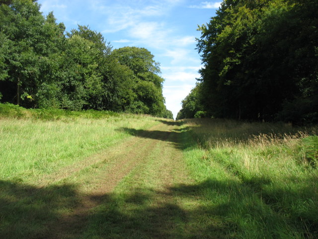
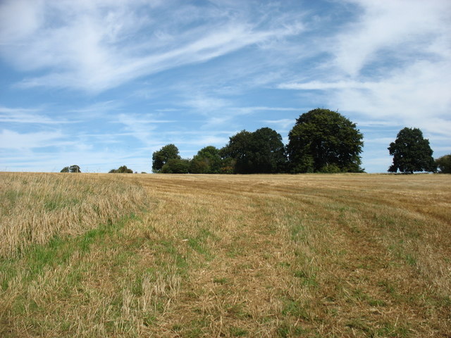
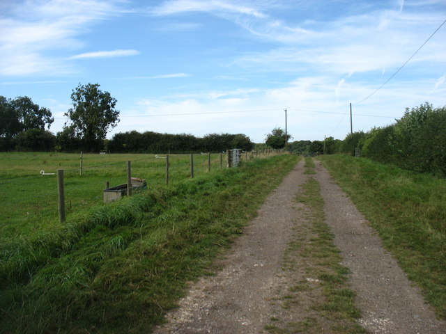
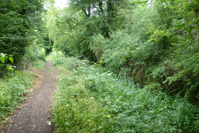
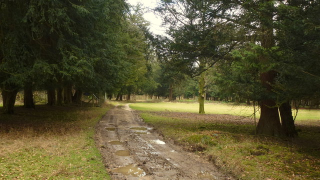
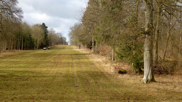
Hanover Firs is a picturesque woodland located in the county of Gloucestershire, England. Covering an area of approximately 50 acres, it forms part of the larger Forest of Dean, a renowned ancient woodland that dates back thousands of years. Hanover Firs is situated near the village of Parkend, offering visitors a tranquil and immersive experience in nature.
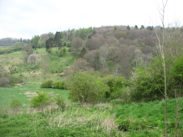
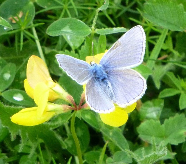
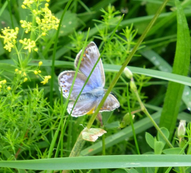
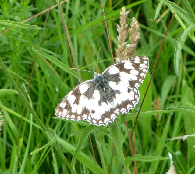
The woodland is predominantly composed of a variety of fir trees, including Norway spruce and Douglas fir, which dominate the landscape with their tall and majestic presence. The dense canopy created by these towering trees provides a sheltered habitat for a diverse range of wildlife, including deer, badgers, and a multitude of bird species.
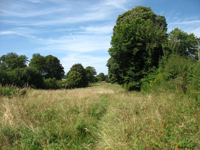
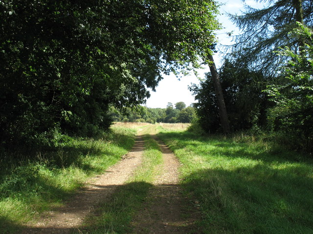
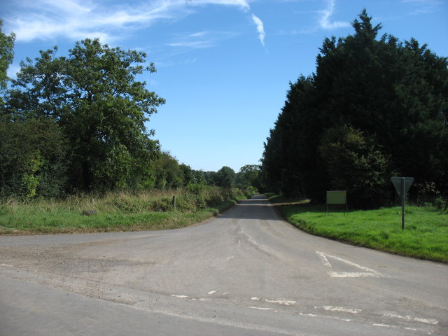
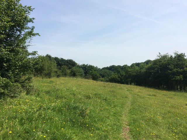
Hanover Firs is a popular destination for nature enthusiasts, hikers, and photographers, who are attracted by the serene atmosphere and breathtaking scenery. The woodland boasts a network of well-maintained footpaths and trails, allowing visitors to explore the area at their own pace. As they wander through the forest, visitors can expect to encounter beautiful wildflowers, moss-covered rocks, and ancient trees that have stood the test of time.
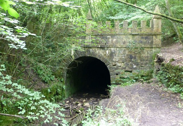
In addition to its natural beauty, Hanover Firs also holds historical significance. The woodland was once part of a royal hunting ground, and remnants of the area's past can still be found, such as the remains of a medieval deer park wall. These historical features add a layer of intrigue to the already captivating landscape.
Overall, Hanover Firs in Gloucestershire is a captivating woodland that offers visitors a chance to escape the hustle and bustle of everyday life and immerse themselves in the beauty of nature.
If you have any feedback on the listing, please let us know in the comments section below.
Hanover Firs Images
Images are sourced within 2km of 51.728885/-2.0629787 or Grid Reference SO9503. Thanks to Geograph Open Source API. All images are credited.
Hanover Firs is located at Grid Ref: SO9503 (Lat: 51.728885, Lng: -2.0629787)
Administrative County: Gloucestershire
District: Cotswold
Police Authority: Gloucestershire
What 3 Words
///applauded.fairway.tango. Near Coates, Gloucestershire
Nearby Locations
Related Wikis
Sapperton, Gloucestershire
Sapperton is a village and civil parish in the Cotswold District of Gloucestershire in England, about 4.5 miles (7.2 km) west of Cirencester. It is most...

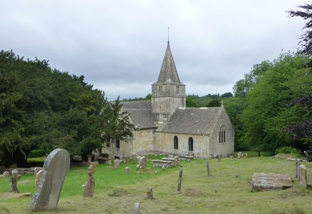
St Kenelm's Church, Sapperton, Gloucestershire
St Kenelm's Church is a historic church in Sapperton, Gloucestershire in the care of The Churches Conservation Trust. It is listed Grade I on the National...

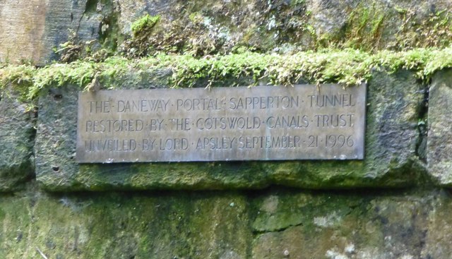
Sapperton Canal Tunnel
The Sapperton Canal Tunnel is a tunnel on the Thames and Severn Canal near Cirencester in Gloucestershire, England. With a length of 3,817 yards (3,490...

Alfred's Hall
Alfred's Hall is a ruined folly in Cirencester Park, Gloucestershire, England. The Grade II* listed building dates from 1721 and is "probably the first...

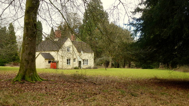
Daneway House
Daneway House is a grade I listed house in the parish of Bisley-with-Lypiatt but close to Sapperton in Gloucestershire, England.The house was built in...

Daneway Banks SSSI
Daneway Banks (grid reference SO937034) is a 17-hectare (42-acre) biological Site of Special Scientific Interest in Gloucestershire, notified in 1954 and...

Sapperton Valley
Sapperton Valley (grid reference SO935035) is a 3.7-hectare (9.1-acre) nature reserve near Chalford in the Stroud district of Gloucestershire, England...

Siccaridge Wood
Siccaridge Wood (grid reference SO935035) is a 26.6-hectare (66-acre) nature reserve in Gloucestershire. The site is listed in the ‘Stroud District’ Local...
Nearby Amenities
Located within 500m of 51.728885,-2.0629787Have you been to Hanover Firs?
Leave your review of Hanover Firs below (or comments, questions and feedback).