Springs Wood

Wood, Forest in Yorkshire Craven

England

Springs Wood

Descending southeast from Old Cote Moor Top A reasonable path runs along the ridge on the north eastern side of the wall. It is not shown on Ordnance Survey Maps.
Descending southeast from Old Cote Moor Top Credit: Colin Park

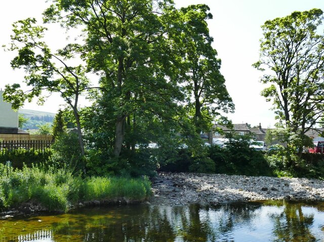
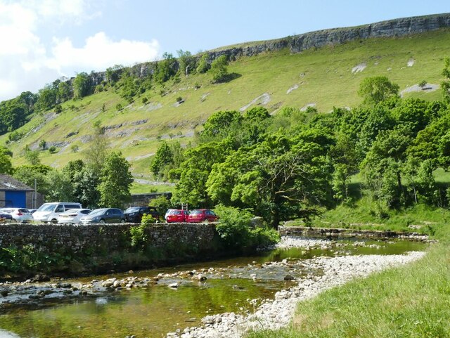
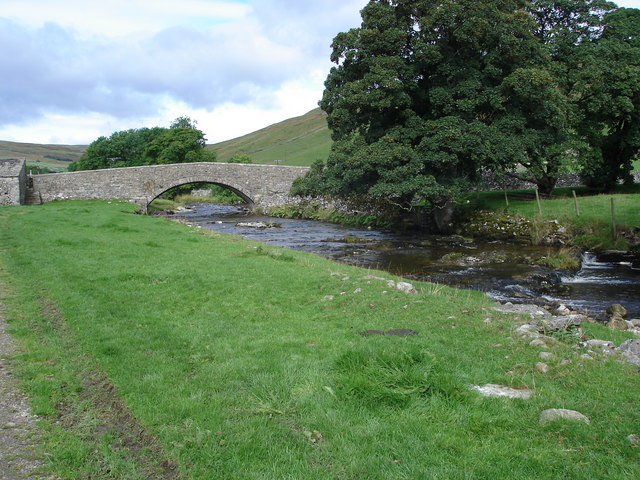
Springs Wood is a picturesque woodland located in the county of Yorkshire, England. Covering an area of approximately 100 acres, it is nestled in the heart of the Yorkshire Dales, offering visitors a tranquil and serene environment to explore.

The wood is primarily composed of deciduous trees, including oak, beech, and ash, which create a stunning display of vibrant colors during the autumn months. The dense foliage provides a habitat for a diverse range of wildlife, making it a popular spot for nature enthusiasts and birdwatchers.

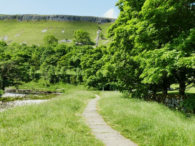
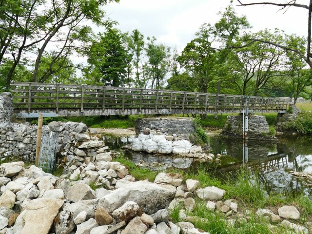
Trails wind their way through the wood, allowing visitors to immerse themselves in the beauty of the surroundings. These paths are well-maintained and suitable for walkers of all abilities. Along the way, one can discover hidden streams, small waterfalls, and charming glades, adding to the enchanting atmosphere of the wood.

Springs Wood is also home to a variety of plant species, including bluebells, wild garlic, and ferns, which carpet the forest floor in springtime. This explosion of color and scent attracts many visitors, making it a must-see destination during this season.

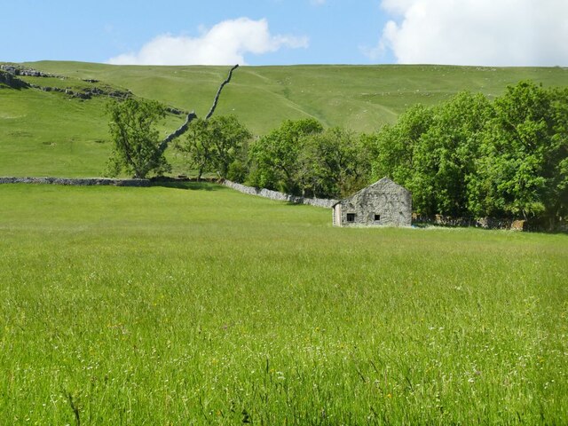
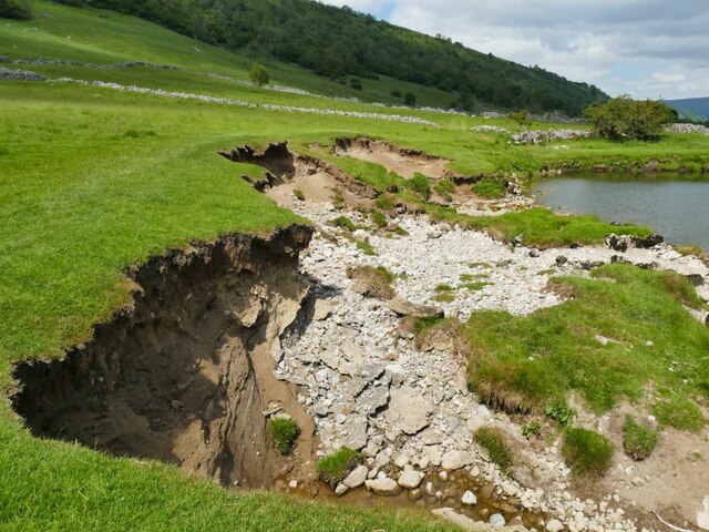
In addition to its natural beauty, Springs Wood boasts a rich history. The remains of an ancient Roman settlement have been unearthed in the area, providing valuable insight into the region's past. The wood also features an old quarry, which was once a significant source of local industry.

Overall, Springs Wood is a captivating destination that offers visitors a chance to connect with nature, delve into history, and experience the tranquil beauty of the Yorkshire countryside.

If you have any feedback on the listing, please let us know in the comments section below.

Springs Wood Images

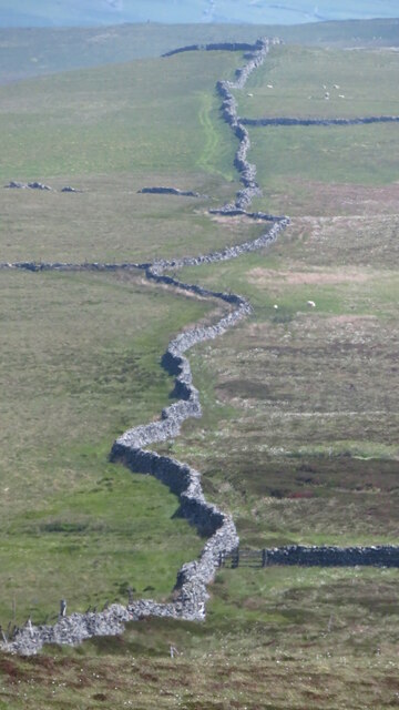
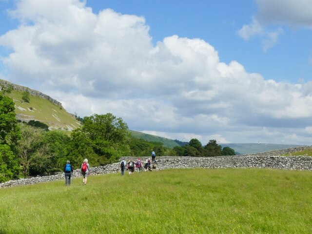
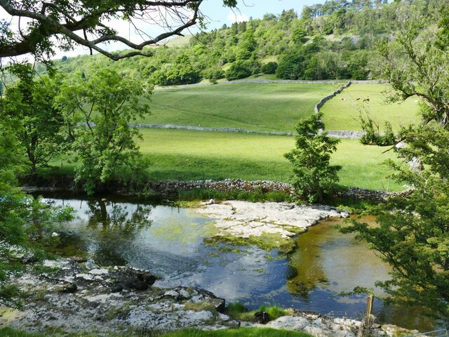
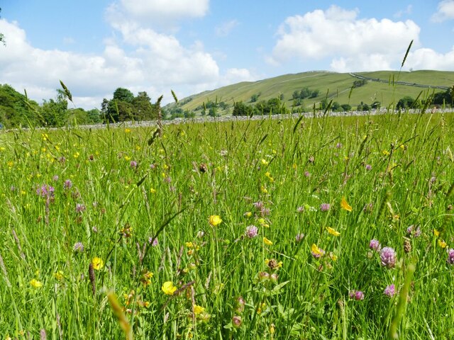
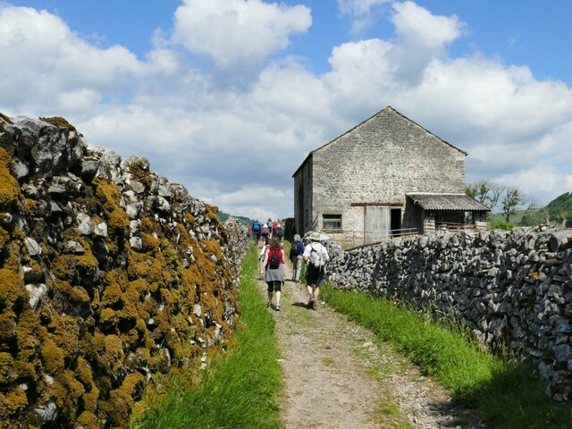
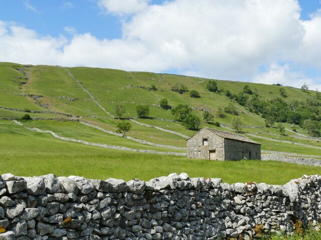
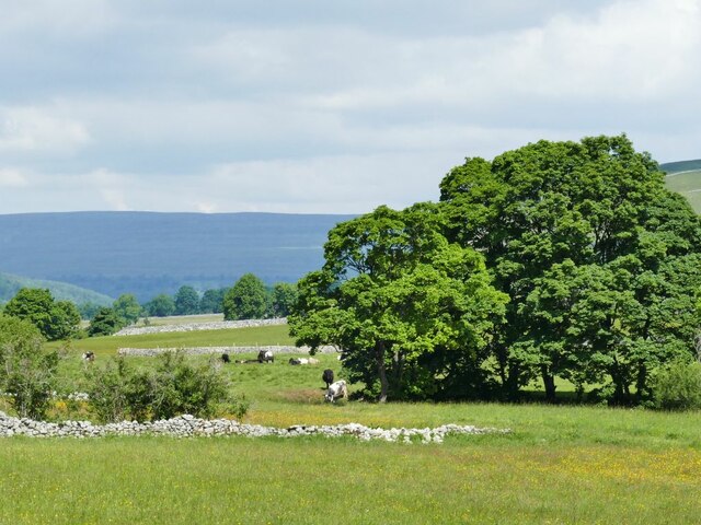
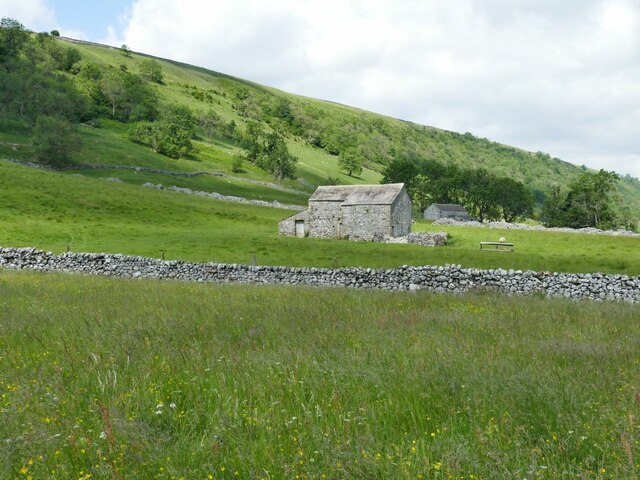
Images are sourced within 2km of 54.153357/-2.0683003 or Grid Reference SD9573. Thanks to Geograph Open Source API. All images are credited.

Descending southeast from Old Cote Moor Top A reasonable path runs along the ridge on the north eastern side of the wall. It is not shown on Ordnance Survey Maps.
Descending southeast from Old Cote Moor Top
A reasonable path runs along the ridge on the north eastern side of the wall. It is not shown on Ordnance Survey Maps.
Path & wall descending southeast from Old Cote Moor Top A reasonable path runs along the ridge on the north eastern side of the wall. It is not shown on Ordnance Survey Maps.
Path & wall descending southeast from Old Cote Moor Top
A reasonable path runs along the ridge on the north eastern side of the wall. It is not shown on Ordnance Survey Maps.
Boundary wall along Middlesmoor Pasture above Kettlewell
Walking towards Kettlewell Ramblers on a footpath alongside the Wharfe.
Walking towards Kettlewell
Ramblers on a footpath alongside the Wharfe.
Shallows in the river Wharfe The river flows over a shallow step in the limestone bed at this point, and at low summer flow levels leaves some of the bedrock exposed. Roughly the same location as <a href="https://www.geograph.org.uk/photo/5416111">SD9771 : River Wharfe</a>.
Shallows in the river Wharfe
The river flows over a shallow step in the limestone bed at this point, and at low summer flow levels leaves some of the bedrock exposed. Roughly the same location as SD9771 : River Wharfe.
Meadow flowers near Kettlewell These limestone pastures are rich in spring and summer flowers.
Meadow flowers near Kettlewell
These limestone pastures are rich in spring and summer flowers.
Confluence of Dowber Gill and the river Wharfe There was little flow in the gill in a dry summer, but it can run in spate after a downpour on the slopes of Great Whernside.
Confluence of Dowber Gill and the river Wharfe
There was little flow in the gill in a dry summer, but it can run in spate after a downpour on the slopes of Great Whernside.
Bend in the river Wharfe at Kettlewell On the hillside behind is Gate Cote Scar.
Bend in the river Wharfe at Kettlewell
On the hillside behind is Gate Cote Scar.
Riverside path at Kettlewell This section of the path, forming part of the Dales Way, is paved.
Riverside path at Kettlewell
This section of the path, forming part of the Dales Way, is paved.
Stone laithe above Kettlewell One of many such structures in Upper Wharfedale, where there is still a network of small fields.  This laithe looks in better condition than most others.
Stone laithe above Kettlewell
One of many such structures in Upper Wharfedale, where there is still a network of small fields. This laithe looks in better condition than most others.
Stone laithe by the Dales Way One of many such structures in Upper Wharfedale, where there is still a network of small fields.  This laithe appears still to be in active use.
Stone laithe by the Dales Way
One of many such structures in Upper Wharfedale, where there is still a network of small fields. This laithe appears still to be in active use.
Haw Fields Laithe  One of many such structures in Upper Wharfedale, where there is still a network of small fields.  This laithe is one of the few to be shown on maps with a name.
Haw Fields Laithe
One of many such structures in Upper Wharfedale, where there is still a network of small fields. This laithe is one of the few to be shown on maps with a name.
Cows by the river Wharfe The cows are on the far side of the river from the photographer, the nearest one being at a point where they come down to the river to drink.
Cows by the river Wharfe
The cows are on the far side of the river from the photographer, the nearest one being at a point where they come down to the river to drink.
Stone laithe below Moor End One of many such structures in Upper Wharfedale, where there is still a network of small fields.
Stone laithe below Moor End
One of many such structures in Upper Wharfedale, where there is still a network of small fields.
Continuing erosion of the riverbank  Roughly the same location as <a href="https://www.geograph.org.uk/photo/4254500">SD9573 : Another landslip on the Wharfe</a> taken seven years earlier, looking in the opposite direction.
Continuing erosion of the riverbank
Roughly the same location as SD9573 : Another landslip on the Wharfe taken seven years earlier, looking in the opposite direction.
Bounty Barns, Starbotton Two of many such structures in Upper Wharfedale, where there is still a network of small fields; the name is given on old maps.
Bounty Barns, Starbotton
Two of many such structures in Upper Wharfedale, where there is still a network of small fields; the name is given on old maps.
Starbotton footbridge The bridge on a bridleway is the only crossing point of the river between Kettlewell and Buckden. One of the pillars had recently been given temporary protection following flood damage the previous winter (see <a href="https://www.geograph.org.uk/photo/3193993">SD9574 : The Dales Way</a> for a 'before' view).  See also <a href="https://www.geograph.org.uk/photo/249353">SD9574 : Bridge over the Wharfe, Starbotton</a>.
Starbotton footbridge
The bridge on a bridleway is the only crossing point of the river between Kettlewell and Buckden. One of the pillars had recently been given temporary protection following flood damage the previous winter (see SD9574 : The Dales Way for a 'before' view). See also SD9574 : Bridge over the Wharfe, Starbotton.
Lilac Cottage, Starbotton  One of the oldest properties in the village, dated 1656. Listed grade II (list entry 1295854).
Lilac Cottage, Starbotton
One of the oldest properties in the village, dated 1656. Listed grade II (list entry 1295854).
Show me another place!

Springs Wood is located at Grid Ref: SD9573 (Lat: 54.153357, Lng: -2.0683003)

Division: West Riding

Administrative County: North Yorkshire

District: Craven

Police Authority: North Yorkshire

What 3 Words

///scribble.colder.wiser. Near Grassington, North Yorkshire

Related Wikis

Kettlewell with Starbotton

Kettlewell with Starbotton is a civil parish in the Craven district of North Yorkshire, England. Kettlewell is a village in Upper Wharfedale, North Yorkshire...

Kettlewell

Kettlewell is a village in Upper Wharfedale, North Yorkshire, England. Historically part of the West Riding of Yorkshire, it lies 6 miles (10 km) north...

Starbotton

Starbotton is a village of around 60 houses in Upper Wharfedale in the Craven district of North Yorkshire, England. It is situated in the Yorkshire Dales...

Hawkswick

Hawkswick is a hamlet and civil parish in the Craven district of North Yorkshire, England. Situated in the Yorkshire Dales, it lies in Littondale on the...

Arncliffe, North Yorkshire

Arncliffe is a small village and civil parish in Littondale, one of the Yorkshire Dales in England. Littondale is a small valley beside Upper Wharfedale...

Scargill House

Scargill House is a Christian conference Centre run by the Scargill Movement and located in Wharfedale, in the county of North Yorkshire, England. Scargill...

River Skirfare

River Skirfare is a small river in North Yorkshire, England, that flows through Littondale and ends where it joins the larger River Wharfe. The source...

Langcliffe Pot

Langcliffe Pot is a cave system on the slopes of Great Whernside in Upper Wharfedale, about 3 kilometres (1.9 mi) SSE of Kettlewell in North Yorkshire...

Related Videos

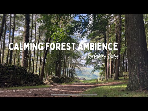
Calming Forest Ambience | Yorkshire Dales | English Countryside | Yorkshire Walking Girl

Thank you for taking the time to watch my video. Please enjoy a calming moment in the forest. Location: Kettlewell, Yorkshire ...

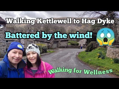
Walking Kettlewell to Hag Dyke and we get caught in some very strong winds! #ellofawalk #yorkshire

We take a grueling walk that is constantly uphill to Hag Dyke approx 1533 feet above the lovely village of Kettlewell in the ...

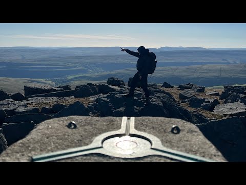
Buckden to Kettlewell via Buckden Pike and Great Whernside

Walking from Buckden to Kettlewell via the summits of Buckden Pike (702m) and Great Whernside (704m). A beautiful day up on ...

Nearby Amenities

Located within 500m of 54.153357,-2.0683003
Historic: mine_shaft
Mineral: lead
Source: Bing;OS 1851 sheet 115
Source Mineral: OS 1851 sheet 115
Lat/Long: 54.150651/-2.0721244
Ford: yes
Lat/Long: 54.1498492/-2.067302
Historic: mine_shaft
Source: Bing
Lat/Long: 54.1512686/-2.0649873
Historic: mine_shaft
Source: Bing
Lat/Long: 54.150307/-2.0729318
Historic: mine_shaft
Mineral: lead
Source: Bing;OS 1851 Yorkshire 115
Lat/Long: 54.1498751/-2.0700862
Historic: mine_shaft
Source: Bing
Lat/Long: 54.1505725/-2.0709335
Haw Fields
Place: locality
Source: OS 1:25k
Lat/Long: 54.1514904/-2.0618691
Historic: mine_shaft
Source: Bing
Lat/Long: 54.1501609/-2.0732335
Historic: mine_shaft
Source: Bing
Lat/Long: 54.149772/-2.0726106
Historic: mine_shaft
Source: Bing
Lat/Long: 54.1503409/-2.0726267
Historic: mine_shaft
Source: Bing
Lat/Long: 54.1505983/-2.0703575
Historic: mine_shaft
Source: Bing
Lat/Long: 54.1505292/-2.0710495
Historic: mine_shaft
Source: Bing
Lat/Long: 54.1504946/-2.0703844
Historic: mine_shaft
Source: Bing
Lat/Long: 54.1499189/-2.0698664
Historic: mine_shaft
Source: Bing
Lat/Long: 54.1496748/-2.0720151
Historic: mine_shaft
Source: Bing
Lat/Long: 54.1497909/-2.0723906
Historic: mine_shaft
Source: Bing
Lat/Long: 54.1496464/-2.0725784
Historic: mine_shaft
Source: Bing
Lat/Long: 54.1497029/-2.0724926
Historic: mine_shaft
Source: Bing
Lat/Long: 54.1504601/-2.0709798
Historic: mine_shaft
Source: Bing
Lat/Long: 54.1498506/-2.0705399
Historic: mine_shaft
Source: Bing
Lat/Long: 54.1489677/-2.0678202
Ford: yes
Lat/Long: 54.1528721/-2.0618479
Ford: yes
Lat/Long: 54.1503085/-2.0659294
The data included in this document is from www.openstreetmap.org. The data is made available under ODbL.

Have you been to Springs Wood?

Leave your review of Springs Wood below (or comments, questions and feedback).