Brancotegorse Covert
Wood, Forest in Staffordshire Stafford
England
Brancotegorse Covert
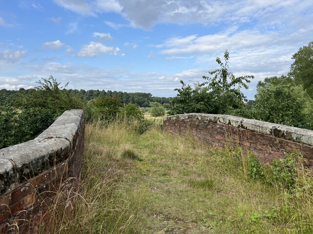
Brancotegorse Covert is a picturesque woodland located in Staffordshire, England. Spanning over a vast area, this forest is a nature lover's paradise, offering a diverse range of flora and fauna for visitors to admire. The woodland is situated in the southern part of the county, near the town of Lichfield, and is easily accessible by both car and public transportation.
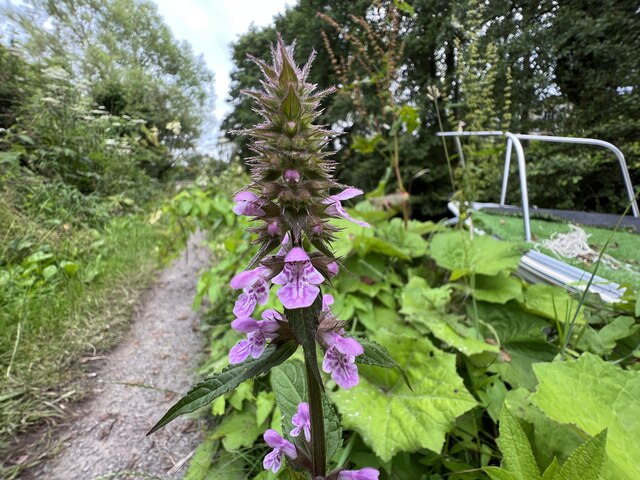
The forest is predominantly composed of native deciduous trees, such as oak, beech, and birch, which create a stunning canopy overhead. This dense tree cover provides a haven for a wide variety of wildlife species, including birds, mammals, and insects. Lucky visitors may catch a glimpse of elusive species like the red deer or the great crested newt, which are known to inhabit the area.
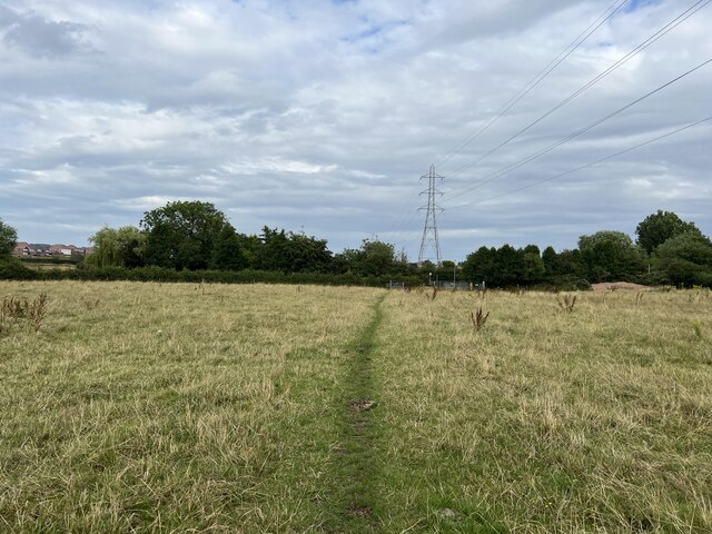
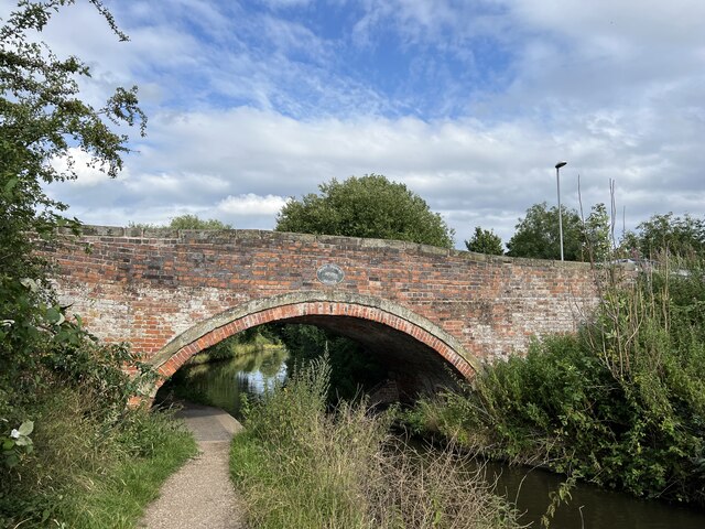
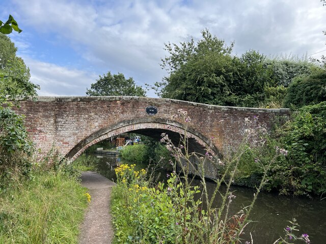
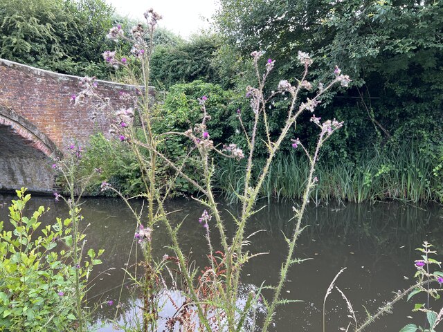
For those seeking outdoor activities, Brancotegorse Covert offers an extensive network of walking trails and nature paths, allowing visitors to explore the forest at their own pace. These well-maintained paths cater to all levels of fitness, making it an ideal destination for families, hikers, and nature enthusiasts alike. Along the trails, visitors can expect to encounter beautiful wildflowers, tranquil ponds, and occasional clearings with breathtaking views.
Additionally, the forest provides an excellent habitat for birdwatching enthusiasts. With its diverse ecosystem, Brancotegorse Covert attracts a wide variety of bird species throughout the year, including woodpeckers, owls, and various migratory birds.
Overall, Brancotegorse Covert is a hidden gem within Staffordshire, offering a peaceful retreat from the hustle and bustle of city life. Its natural beauty, diverse wildlife, and well-maintained trails make it a must-visit destination for anyone who appreciates the tranquility of the great outdoors.
If you have any feedback on the listing, please let us know in the comments section below.
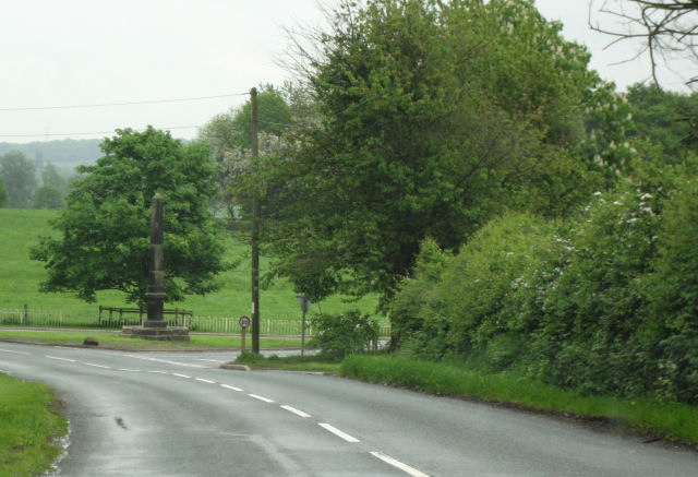
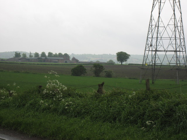
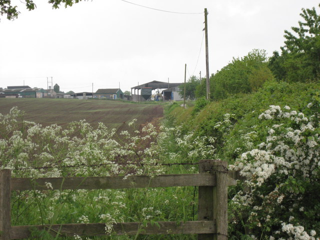
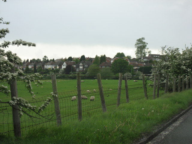
Brancotegorse Covert Images
Images are sourced within 2km of 52.801398/-2.0662736 or Grid Reference SJ9522. Thanks to Geograph Open Source API. All images are credited.


Brancotegorse Covert is located at Grid Ref: SJ9522 (Lat: 52.801398, Lng: -2.0662736)
Administrative County: Staffordshire
District: Stafford
Police Authority: Staffordshire
What 3 Words
///fleet.forum.tries. Near Stafford, Staffordshire
Nearby Locations
Related Wikis

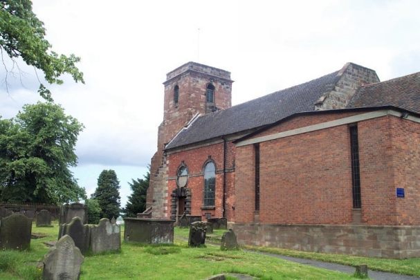
Priory of St. Thomas near Stafford
Priory of St. Thomas near Stafford was an Augustinian religious house near Stafford, Staffordshire, England. Founded sometime in approximately 1174, it...

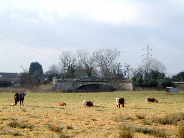
River Penk
The River Penk is a small river flowing through Staffordshire, England. Its course is mainly within South Staffordshire, and it drains most of the northern...

Baswich
Baswich is an estate on the south eastern side of Stafford, in the Stafford district, in the county of Staffordshire, England. Baswich amenities are a...

Berkswich
Berkswich ( BAHK-switch) is a civil parish in the borough of Stafford in Staffordshire, England. According to the 2001 census it had a population of 1...
Weston Road Academy
The Weston Road Academy (formerly Weston Road High School) is an academy school in Stafford, England. It provides secondary and further education for pupils...
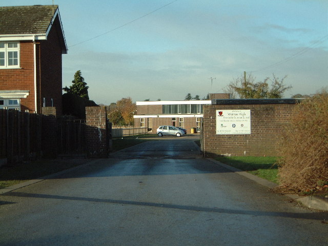
Walton High School, Stafford
Walton High School is a large mixed secondary school and sixth form serving a community in the southern part of Stafford, England.There are approximately...
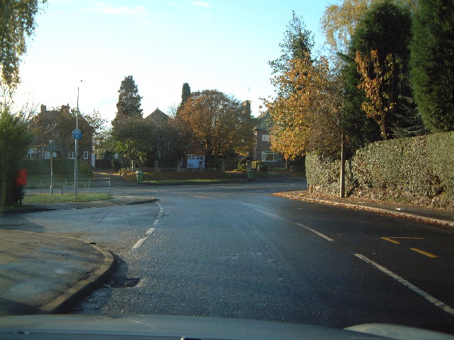
Walton-on-the-Hill, Staffordshire
Walton-on-the-Hill is a village in the Borough of Stafford in Staffordshire, England. It is about 5 km east of the centre of Stafford, and lies on the...

Milford Hall
Milford Hall is a privately owned 18th-century English country house at Milford, near Stafford. It is the family seat of the Levett Haszard family and...
Nearby Amenities
Located within 500m of 52.801398,-2.0662736Have you been to Brancotegorse Covert?
Leave your review of Brancotegorse Covert below (or comments, questions and feedback).