Luscombe Wood

Wood, Forest in Dorset

England

Luscombe Wood

The eastern end of Charborough Park wall The famous wall of the deer park, beside the A31, one of the longest brick walls in England
The eastern end of Charborough Park wall Credit: David Smith

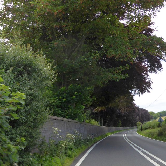
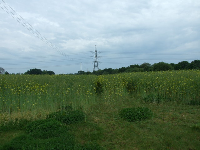
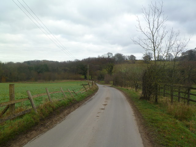
Located in the county of Dorset, England, Luscombe Wood is a picturesque and enchanting forest that spans over several acres. Nestled within the heart of the Dorset Area of Outstanding Natural Beauty, this woodland is renowned for its diverse flora and fauna, making it a haven for nature lovers and hikers alike.

Luscombe Wood boasts a mixed woodland ecosystem, comprised of both broadleaf and coniferous trees. Towering oak, beech, and ash trees dominate the landscape, creating a dense canopy that filters sunlight and casts patterns of dappled shade onto the forest floor. The forest is also home to a variety of conifers, such as Scots pine and Douglas fir, which thrive alongside the deciduous trees.

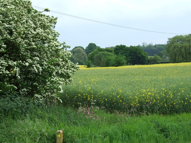
The forest floor is covered by a rich carpet of wildflowers, ferns, and mosses, which burst into vibrant colors during the spring and summer months. Bluebells, primroses, and wood anemones create a stunning display of hues, attracting a multitude of butterflies and bees. Luscombe Wood is also home to a diverse array of wildlife, including deer, badgers, foxes, and numerous bird species, making it a popular spot for birdwatching enthusiasts.

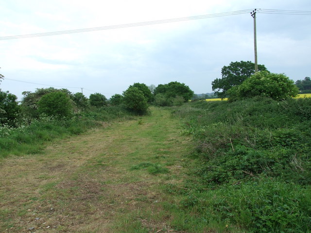
Tranquil footpaths wind their way through the forest, offering visitors the chance to explore the woodland at their own pace. These paths lead to hidden clearings, offering scenic views and peaceful spots for picnics or simply to immerse oneself in the serenity of nature. With its natural beauty and serene atmosphere, Luscombe Wood is a true gem in the Dorset countryside, providing visitors with a tranquil escape from the hustle and bustle of everyday life.

If you have any feedback on the listing, please let us know in the comments section below.

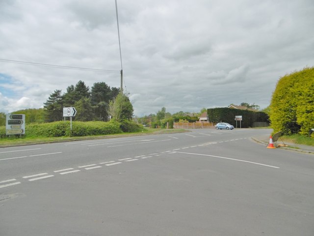
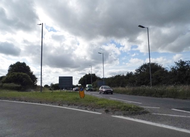
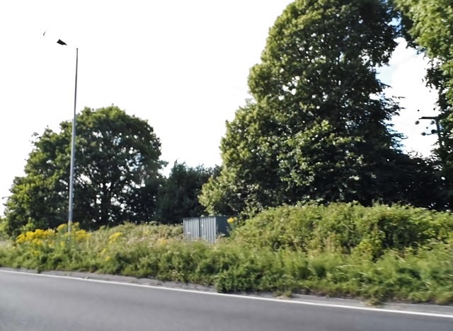
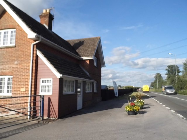
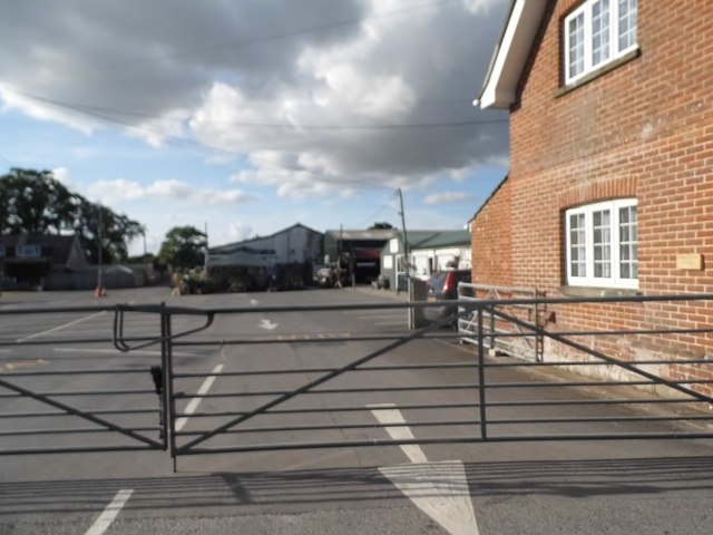
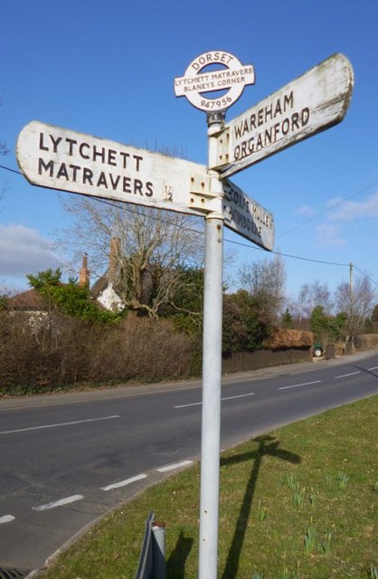
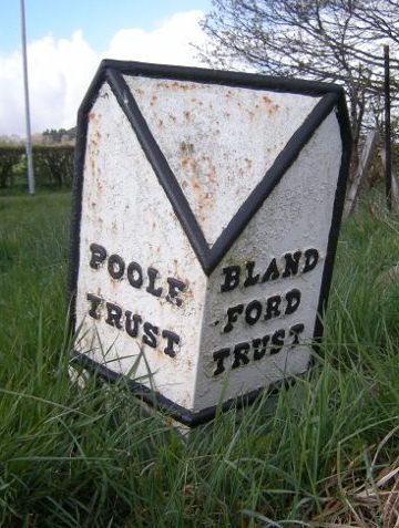
Luscombe Wood Images

Images are sourced within 2km of 50.775072/-2.0671864 or Grid Reference SY9597. Thanks to Geograph Open Source API. All images are credited.

The eastern end of Charborough Park wall The famous wall of the deer park, beside the A31, one of the longest brick walls in England
The eastern end of Charborough Park wall
The famous wall of the deer park, beside the A31, one of the longest brick walls in England
Corfe Mullen, crossroads Jubilee Cross - looking from Rushall Lane to Wimborne Road; left and right, Blandford Road North.
Corfe Mullen, crossroads
Jubilee Cross - looking from Rushall Lane to Wimborne Road; left and right, Blandford Road North.
Corfe Mullen, timber Softwood logs awaiting collection in Stony Down Plantation.
Corfe Mullen, timber
Softwood logs awaiting collection in Stony Down Plantation.
Corfe Mullen, bridleway Across Stony Down Plantation, from Rushall Lane to Old Market Road.
Corfe Mullen, bridleway
Across Stony Down Plantation, from Rushall Lane to Old Market Road.
Corfe Mullen, plantation Stony Down Plantation - conifers with patches of hardwood.
Corfe Mullen, plantation
Stony Down Plantation - conifers with patches of hardwood.
Corfe Mullen, track junction From camera and ahead, the bridleway to Old Market Road; left and right, tracks belonging to a local camping business. Upgrading of the tracks seems to have caused local controversy: <span class="nowrap"><a title="https://susanjefferies.mycouncillor.org.uk/2015/10/16/stoney-down-plantation/" rel="nofollow ugc noopener" href="https://susanjefferies.mycouncillor.org.uk/2015/10/16/stoney-down-plantation/">Link</a><img style="margin-left:2px;" alt="External link" title="External link - shift click to open in new window" src="https://s1.geograph.org.uk/img/external.png" width="10" height="10"/></span>
Corfe Mullen, track junction
From camera and ahead, the bridleway to Old Market Road; left and right, tracks belonging to a local camping business. Upgrading of the tracks seems to have caused local controversy: LinkExternal link
Corfe Mullen, power lines Crossing Stony Down Plantation.
Corfe Mullen, power lines
Crossing Stony Down Plantation.
Corfe Mullen, bridleway Through Stony Down Plantation, from Rushall Lane to Old Market Road.
Corfe Mullen, bridleway
Through Stony Down Plantation, from Rushall Lane to Old Market Road.
Roundabout on the A31, Sturminster Marshall
Woodland by the A31, Sturminster Marshall
The entrance to Vines Close Farm
Vines Close Farm
Vines Close Farm
Old Direction Sign - Signpost by Wimborne Road, Lytchett Matravers Annulus and bar finial - 3 arms; Dorset halo with NGR by the UC road, in parish of Lytchett Matravers (Purbeck District), junction with Lime Kiln, Wimborne and Wareham Roads, on verge.

Surveyed

Milestone Society National ID: DO_SY9495B
Old Direction Sign - Signpost by Wimborne Road, Lytchett Matravers
Annulus and bar finial - 3 arms; Dorset halo with NGR by the UC road, in parish of Lytchett Matravers (Purbeck District), junction with Lime Kiln, Wimborne and Wareham Roads, on verge. Surveyed Milestone Society National ID: DO_SY9495B
Old Boundary Marker by the A31, Poole Road, Sturminster Marshall parish Turnpike Terminus Marker by the A350, in parish of Sturminster Marshall (East Dorset District), 500m south of Sturminster Marshall, centre of the roundabout where the A350 crosses the A31.

Inscription reads:-
: POOLE / TRUST : : BLAND- / -FORD / TRUST :

Surveyed

Milestone Society National ID: DO_POBF06t
Old Boundary Marker by the A31, Poole Road, Sturminster Marshall parish
Turnpike Terminus Marker by the A350, in parish of Sturminster Marshall (East Dorset District), 500m south of Sturminster Marshall, centre of the roundabout where the A350 crosses the A31. Inscription reads:- : POOLE / TRUST : : BLAND- / -FORD / TRUST : Surveyed Milestone Society National ID: DO_POBF06t
Footpath, Sturminster Marshall This footpath runs through the shoulder high mustard seed.
Footpath, Sturminster Marshall
This footpath runs through the shoulder high mustard seed.
Old Railway Track, Sturminster Marshall Part of the old Somerset and Dorset Railway line.
Old Railway Track, Sturminster Marshall
Part of the old Somerset and Dorset Railway line.
Footpath, near Henbury Farm, Sturminster Marshall Nobody seems to have used this path, since the mustard seed has been planted.
Footpath, near Henbury Farm, Sturminster Marshall
Nobody seems to have used this path, since the mustard seed has been planted.
Corfe Mullen, Old Market Road Country road from Poole Road towards Mill Lane; the landscape is typical of most of this square: gently rolling hills with copses, with most land use for horse grazing.
Corfe Mullen, Old Market Road
Country road from Poole Road towards Mill Lane; the landscape is typical of most of this square: gently rolling hills with copses, with most land use for horse grazing.
Show me another place!

Luscombe Wood is located at Grid Ref: SY9597 (Lat: 50.775072, Lng: -2.0671864)

Unitary Authority: Dorset

Police Authority: Dorset

What 3 Words

///bedrooms.processes.urge. Near Lytchett Matravers, Dorset

Related Wikis

Henbury, Dorset

Henbury is a hamlet in the civil parish of Sturminster Marshall in Dorset, England. It lies on the A31 road. Henbury House is a classical Georgian house...

Barrow Hill, Dorset

Barrow Hill is a small settlement in Dorset, England, situated in the East Dorset administrative district on the A350 road approximately 4 miles (6.4 km...

Stoney Down

Stoney Down or Stony Down is both a hill and an area of forested countryside in the county of Dorset, England, that has been designated an "Area of Great...

Lytchett Matravers

Lytchett Matravers is a large village and civil parish in Dorset, England. The 2011 census recorded the parish as having 1,439 households and a population...

St Mary the Virgin, Lytchett Matravers

St Mary the Virgin is the Church of England parish church of Lytchett Matravers in Dorset. Its parish is part of the Diocese of Salisbury. The building...

Bailey Gate railway station

Bailey Gate railway station was on the Somerset & Dorset Joint Railway in the English county of Dorset. == Usage == The station served the United Dairies...

Castle Court School

Castle Court School is a co-educational, preparatory school located near the village of Corfe Mullen in the county of Dorset, England. == Location == Castle...

Lytchett Heath

Lytchett Heath is an area of woods and farmland on the Dorset Heaths between the villages of Lytchett Matravers, Lytchett Minster and the hamlet of Beacon...

Nearby Amenities

Located within 500m of 50.775072,-2.0671864
Material: wood
Power: pole
Source: bing
Lat/Long: 50.772412/-2.0615511
Material: wood
Power: pole
Source: bing
Lat/Long: 50.7728918/-2.0626171
Material: wood
Power: pole
Source: bing
Lat/Long: 50.7747381/-2.0635765
Material: wood
Power: pole
Source: bing
Lat/Long: 50.775528/-2.0634147
Material: wood
Power: pole
Source: bing
Lat/Long: 50.7762401/-2.0632222
Material: wood
Power: pole
Source: bing
Lat/Long: 50.7762805/-2.0685065
Material: wood
Power: pole
Source: bing
Lat/Long: 50.7767095/-2.0665581
Material: wood
Power: pole
Source: bing
Lat/Long: 50.7775759/-2.0700602
Material: wood
Power: pole
Source: bing
Lat/Long: 50.7785213/-2.0712148
Pipeline: marker
Lat/Long: 50.7776166/-2.0706611
Pipeline: marker
Lat/Long: 50.7776398/-2.0706669
Pipeline: marker
Lat/Long: 50.7776491/-2.070548
Pipeline: marker
Lat/Long: 50.7776686/-2.0705583
Power: pole
Source: bing
Lat/Long: 50.7762285/-2.071116
Power: pole
Source: bing
Lat/Long: 50.7759453/-2.0721862
Power: pole
Source: bing
Lat/Long: 50.7753635/-2.0728165
Power: pole
Source: bing
Lat/Long: 50.7749429/-2.0727924
Power: pole
Source: bing
Lat/Long: 50.7742322/-2.0730257
Power: pole
Source: bing
Lat/Long: 50.7735385/-2.0732591
The data included in this document is from www.openstreetmap.org. The data is made available under ODbL.

Have you been to Luscombe Wood?

Leave your review of Luscombe Wood below (or comments, questions and feedback).