Higher Sandy Coppice
Wood, Forest in Dorset
England
Higher Sandy Coppice
Higher Sandy Coppice is a wood located in the county of Dorset, England. It is situated near the village of Sandyhills and covers an area of approximately 100 acres. The wood is part of a larger forested area known as the Dorset Forest, which is renowned for its natural beauty and diverse wildlife.
Higher Sandy Coppice is predominantly made up of broadleaved trees, including oak, beech, and ash. These trees provide a dense canopy, creating a sheltered and tranquil environment within the wood. The forest floor is carpeted with a variety of wildflowers and ferns, adding to the overall charm of the area.
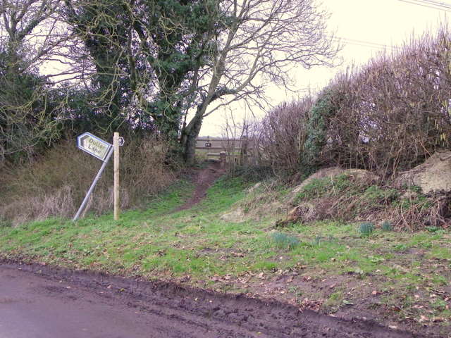
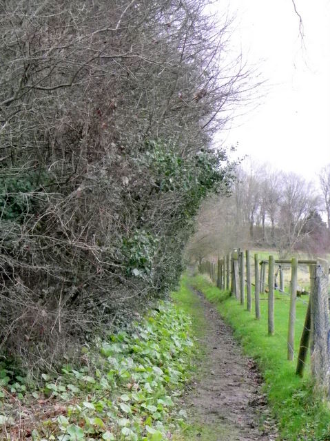
The wood is crossed by a network of footpaths, allowing visitors to explore and appreciate its natural wonders. These paths meander through the woodland, passing by ancient trees and offering breathtaking views of the surrounding countryside. Higher Sandy Coppice is a popular destination for walkers, nature enthusiasts, and photographers alike.
The wood is also home to a rich array of wildlife. It provides a habitat for numerous bird species, including woodpeckers, owls, and warblers. Mammals such as deer, foxes, and badgers can also be spotted within the wood, as well as a variety of insects and small reptiles.
Higher Sandy Coppice is a cherished natural gem in Dorset, attracting visitors from near and far who seek solace and serenity amidst its picturesque surroundings.
If you have any feedback on the listing, please let us know in the comments section below.
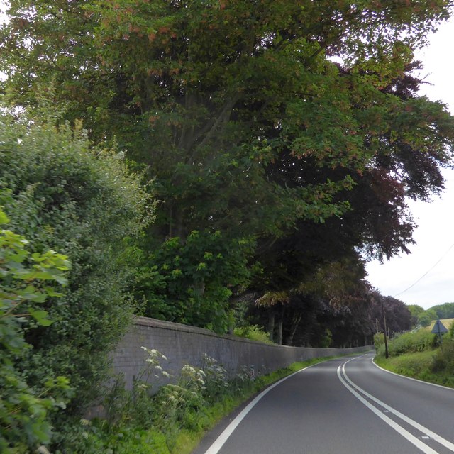
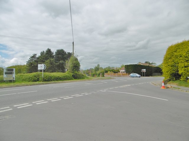
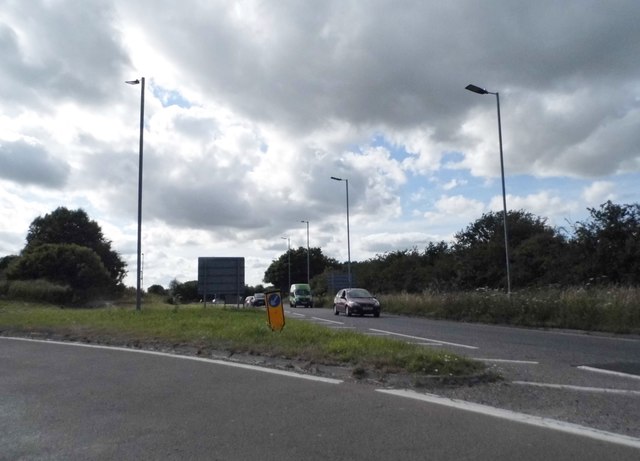
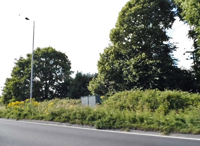
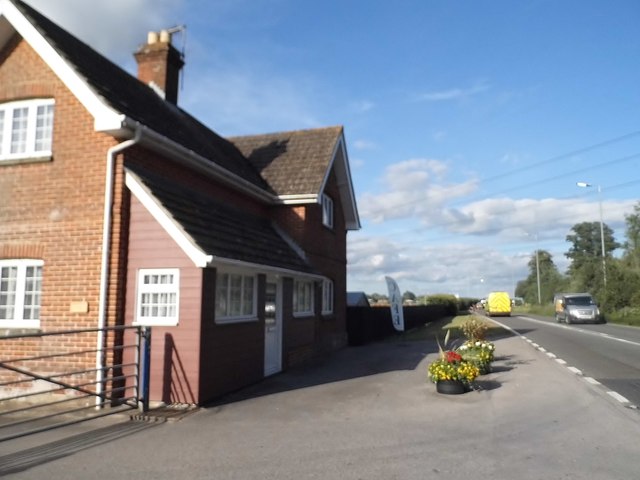
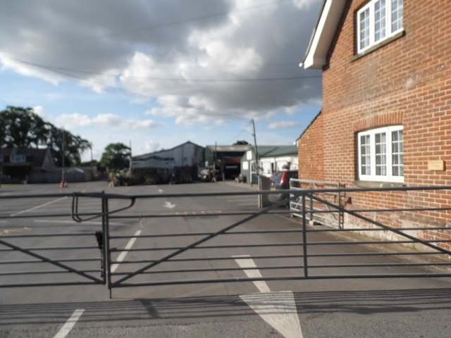
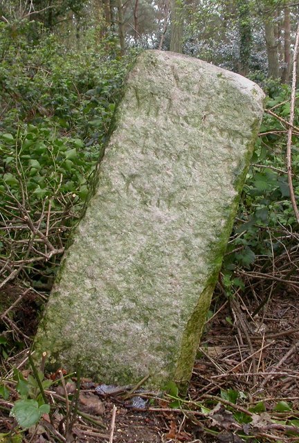
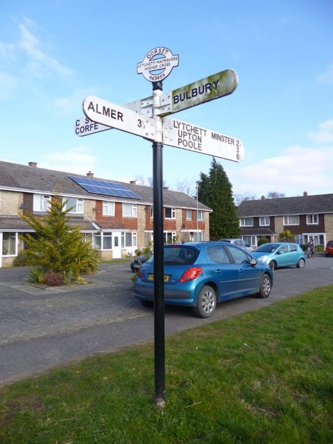
Higher Sandy Coppice Images
Images are sourced within 2km of 50.774567/-2.0705752 or Grid Reference SY9597. Thanks to Geograph Open Source API. All images are credited.


Higher Sandy Coppice is located at Grid Ref: SY9597 (Lat: 50.774567, Lng: -2.0705752)
Unitary Authority: Dorset
Police Authority: Dorset
What 3 Words
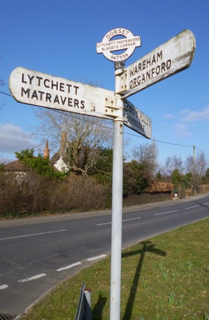
///stoppage.farmland.often. Near Lytchett Matravers, Dorset
Nearby Locations
Related Wikis

Barrow Hill, Dorset
Barrow Hill is a small settlement in Dorset, England, situated in the East Dorset administrative district on the A350 road approximately 4 miles (6.4 km...

Henbury, Dorset
Henbury is a hamlet in the civil parish of Sturminster Marshall in Dorset, England. It lies on the A31 road. Henbury House is a classical Georgian house...

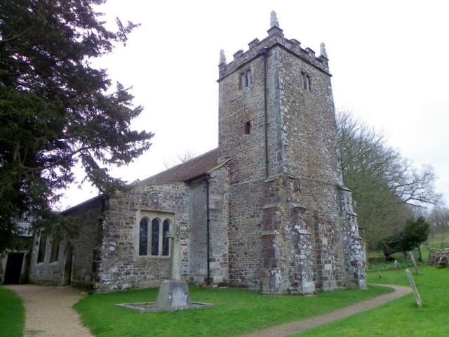
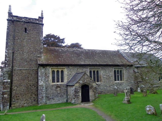
St Mary the Virgin, Lytchett Matravers
St Mary the Virgin is the Church of England parish church of Lytchett Matravers in Dorset. Its parish is part of the Diocese of Salisbury. The building...

Lytchett Matravers
Lytchett Matravers is a large village and civil parish in Dorset, England. The 2011 census recorded the parish as having 1,439 households and a population...

Stoney Down
Stoney Down or Stony Down is both a hill and an area of forested countryside in the county of Dorset, England, that has been designated an "Area of Great...

Bailey Gate railway station
Bailey Gate railway station was on the Somerset & Dorset Joint Railway in the English county of Dorset. == Usage == The station served the United Dairies...

Sturminster Marshall
Sturminster Marshall is a village and civil parish in the east of Dorset in England, situated on the River Stour between Blandford Forum and Poole. The...

Lytchett Heath
Lytchett Heath is an area of woods and farmland on the Dorset Heaths between the villages of Lytchett Matravers, Lytchett Minster and the hamlet of Beacon...
Nearby Amenities
Located within 500m of 50.774567,-2.0705752Have you been to Higher Sandy Coppice?
Leave your review of Higher Sandy Coppice below (or comments, questions and feedback).