The Plantation
Wood, Forest in Dorset
England
The Plantation
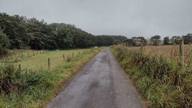
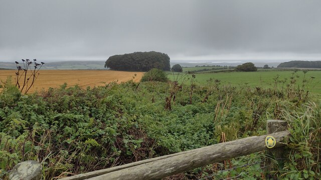
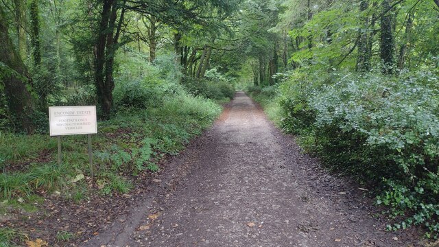
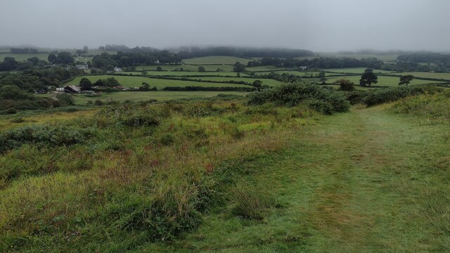
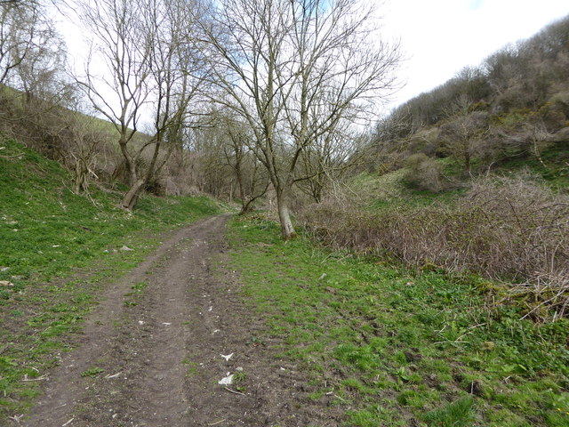
The Plantation, located in Dorset, England, is an expansive wood or forest area that spans over a significant area of land. It is known for its rich biodiversity and scenic beauty, making it a popular attraction for nature enthusiasts and tourists alike.
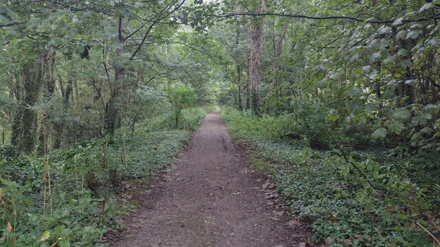
The Plantation is characterized by tall, majestic trees that create a dense canopy, providing shelter to a diverse range of flora and fauna. The wood is home to a variety of tree species, including oak, beech, birch, and pine, among others. These trees not only contribute to the aesthetic appeal of the area but also provide a habitat for numerous animal species.
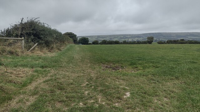
Visitors to The Plantation can expect to witness a thriving ecosystem, with a plethora of wildlife. It is common to spot birds such as woodpeckers, owls, and various songbirds, as well as small mammals like squirrels and rabbits. The forest floor is adorned with a carpet of wildflowers during the spring and summer months, adding bursts of color to the surroundings.
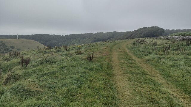
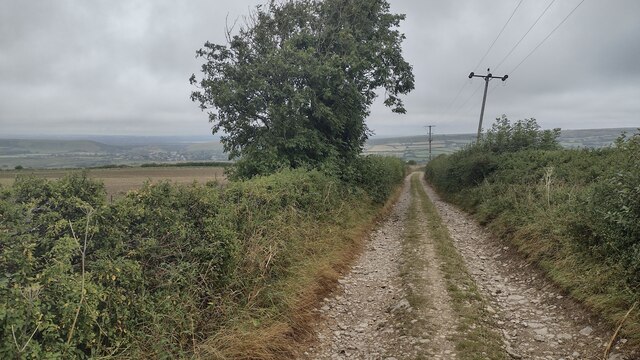
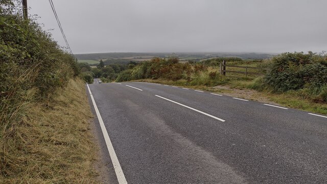
The Plantation is also a haven for outdoor activities. It features well-maintained trails that wind through the wood, offering opportunities for hiking, jogging, and cycling. Additionally, there are designated picnic areas and viewpoints that allow visitors to pause, take in the surroundings, and appreciate the tranquility of the natural environment.
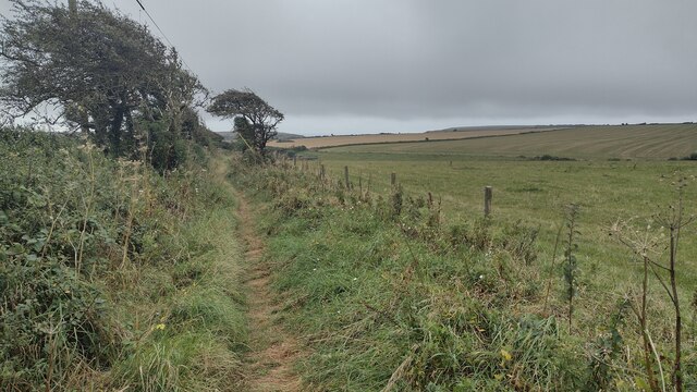
Overall, The Plantation in Dorset stands as a testament to the region's natural beauty. With its diverse flora and fauna, it provides a serene escape from the hustle and bustle of everyday life, inviting individuals to immerse themselves in the wonders of nature.
If you have any feedback on the listing, please let us know in the comments section below.
The Plantation Images
Images are sourced within 2km of 50.612736/-2.0669964 or Grid Reference SY9579. Thanks to Geograph Open Source API. All images are credited.


The Plantation is located at Grid Ref: SY9579 (Lat: 50.612736, Lng: -2.0669964)
Unitary Authority: Dorset
Police Authority: Dorset
What 3 Words
///cocoons.opens.typhoon. Near Corfe Castle, Dorset
Nearby Locations
Related Wikis

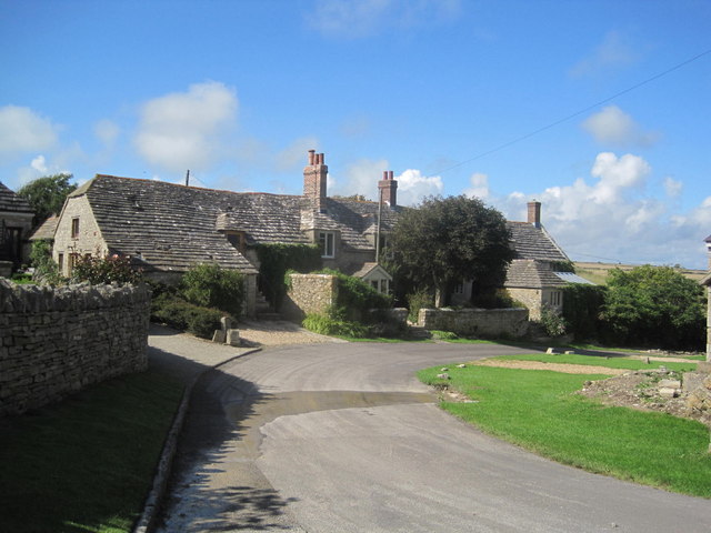
Kingston, Purbeck
Kingston is a small village on the Isle of Purbeck in the county of Dorset in southern England. == Location == Kingston is situated about two miles south...

Encombe House
Encombe House is a privately owned, Grade II* listed country house built in 1735 on the Encombe Estate near the village of Kingston and about 1-mile (1...

Scoles Manor
Scoles Manor, also known as Scoles Farm House, is former farmhouse and a Grade II* listed building, two miles from Corfe Castle in Dorset, England. It...
Blashenwell Farm Pit
Blashenwell Farm Pit (grid reference SY952805) is an 11.4 hectare geological Site of Special Scientific Interest in Dorset, United Kingdom, notified in...
Smedmore Hill Settlement
The Smedmore Hill Settlement is an archaeological site about 2 miles (3.2 km) south-west of Corfe Castle, in Dorset, England. The site is a settlement...

Swyre Head
Swyre Head is the highest point of the Isle of Purbeck in Dorset, on the south coast of England. The hill Swyre Head lies about 2 kilometres (1 mi) southwest...

Egmont Bight
Egmont Bight is a shallow embayment at the southern end of the Encombe valley in Dorset, England. It is part of the Jurassic Coast. == Geology == The bay...

Chapman's Pool
Chapman's Pool is a small cove to the west of Worth Matravers on the Isle of Purbeck, in Dorset, England. == Geology == The rocks that form the cove are...
Nearby Amenities
Located within 500m of 50.612736,-2.0669964Have you been to The Plantation?
Leave your review of The Plantation below (or comments, questions and feedback).